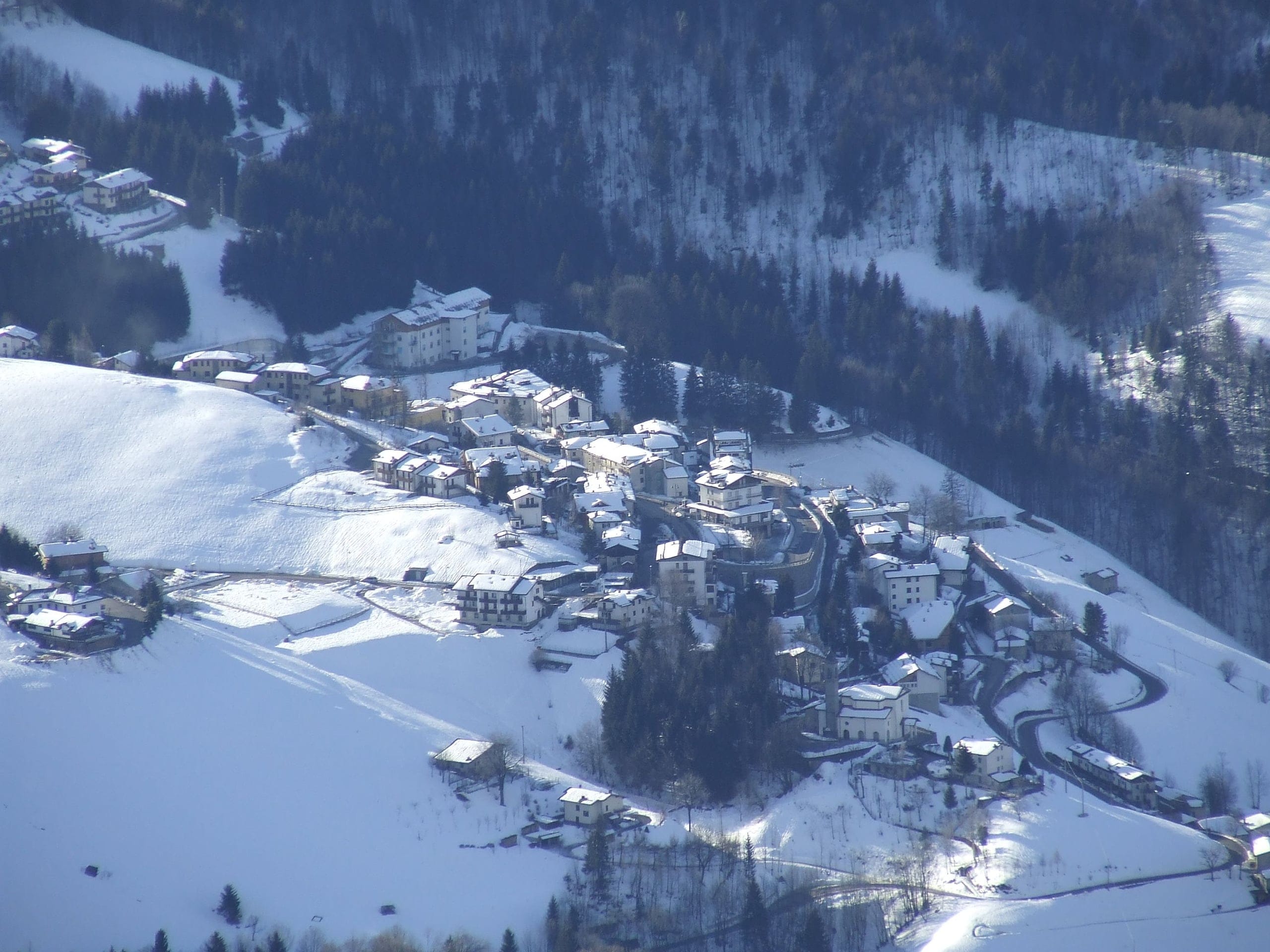
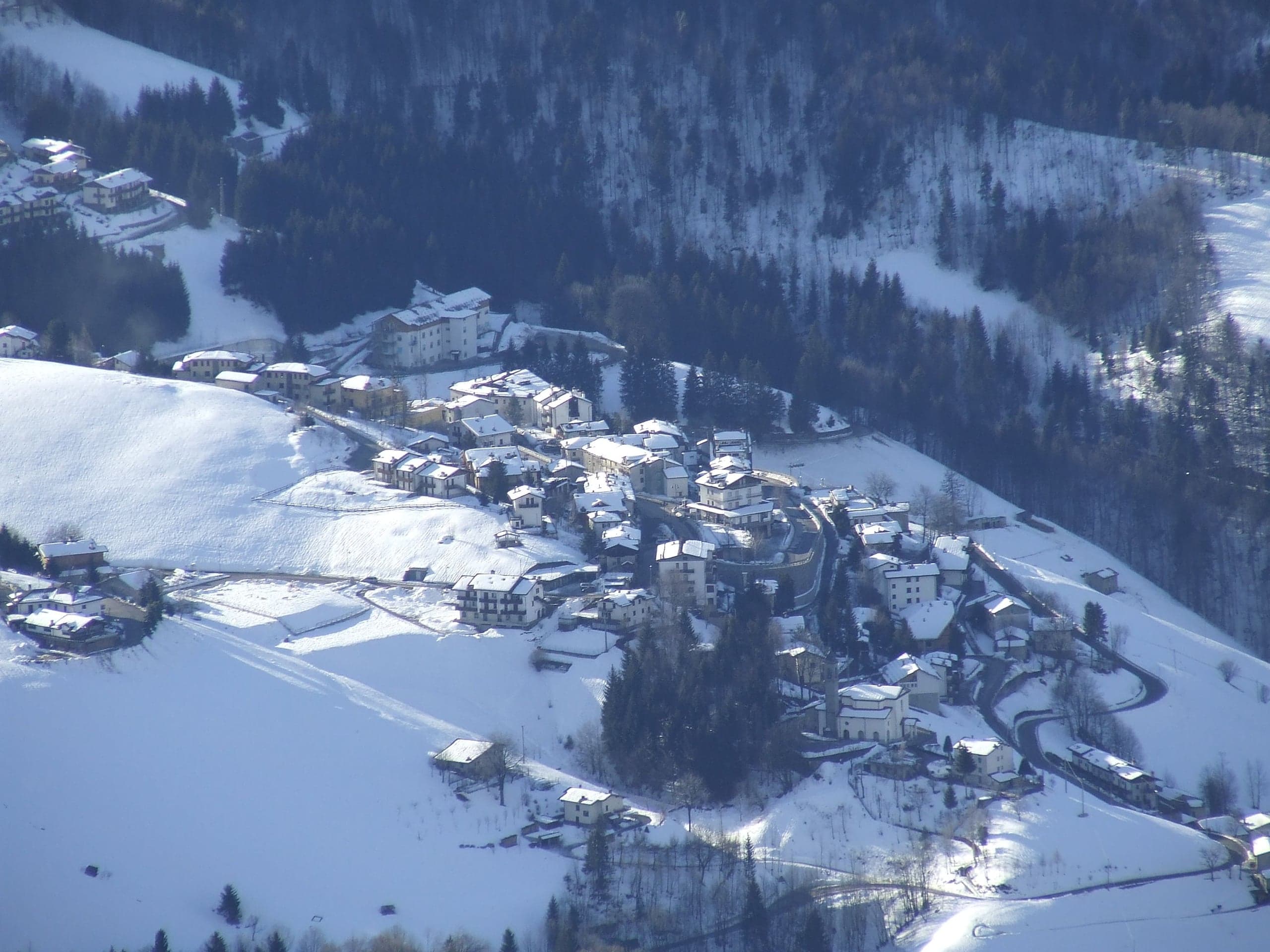
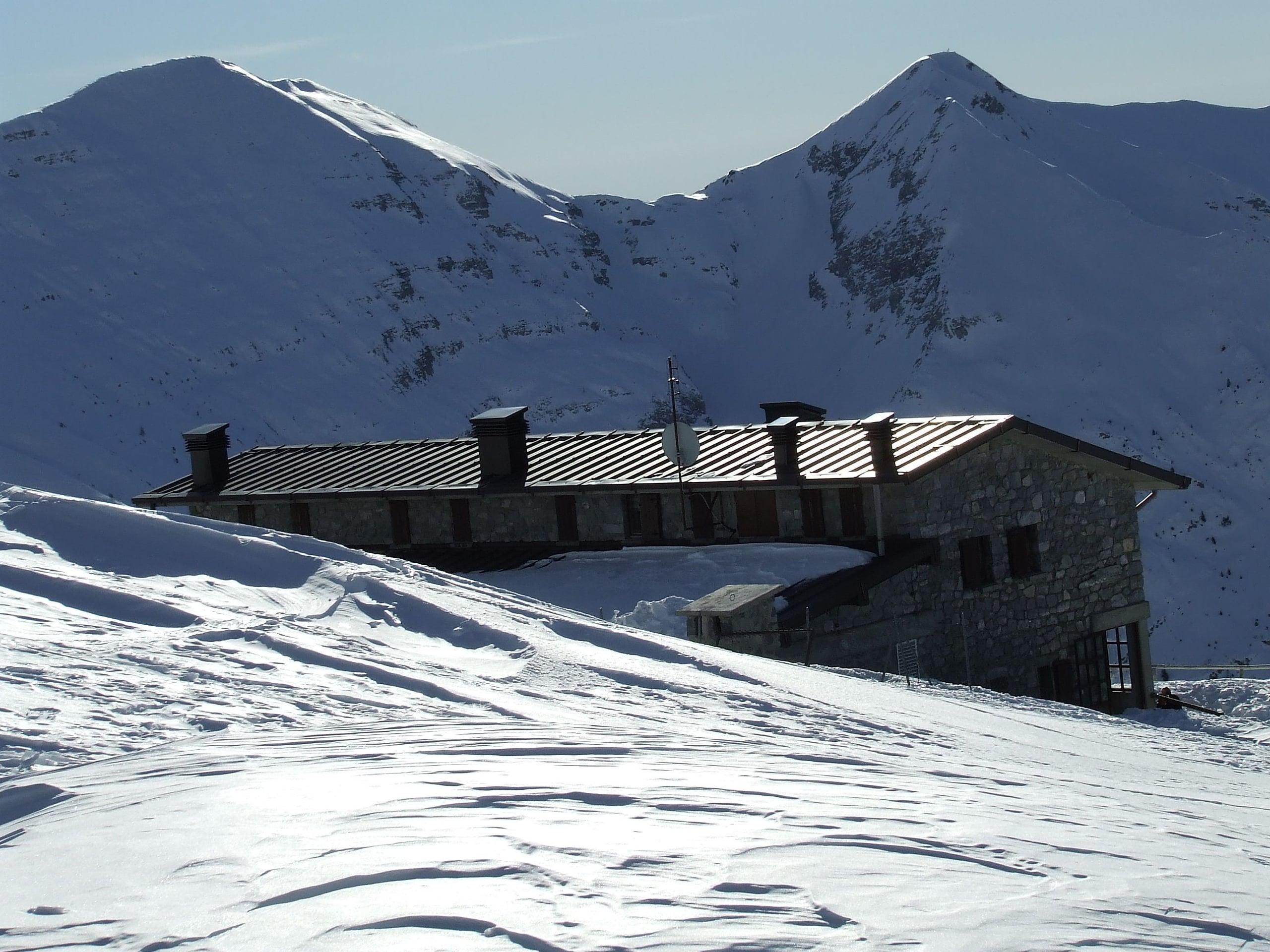
Zambla Alta is the highest of the four inhabited localities of Oltre il Colle and the best equipped for anyone coming to hike or ski. ISTAT puts the village at 1,197 metres, the Pro Loco at 1,150: the houses stretch uphill along the provincial road and each source measures at a different point. At the 2021 census 138 people lived here in 64 households, against 509 dwellings: most are holiday homes, and the village changes face between summer, snowy weekends and the rest of the year.
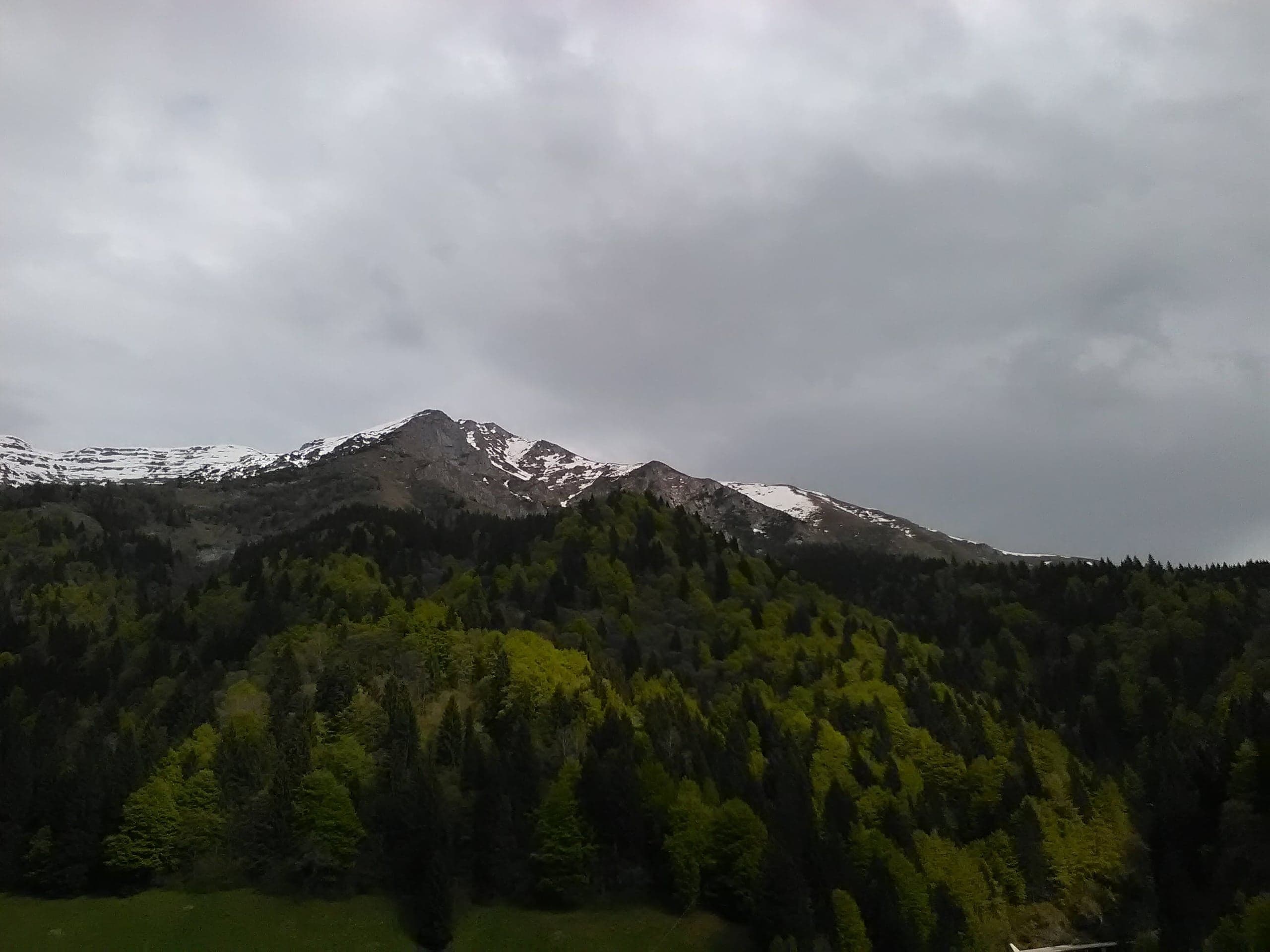
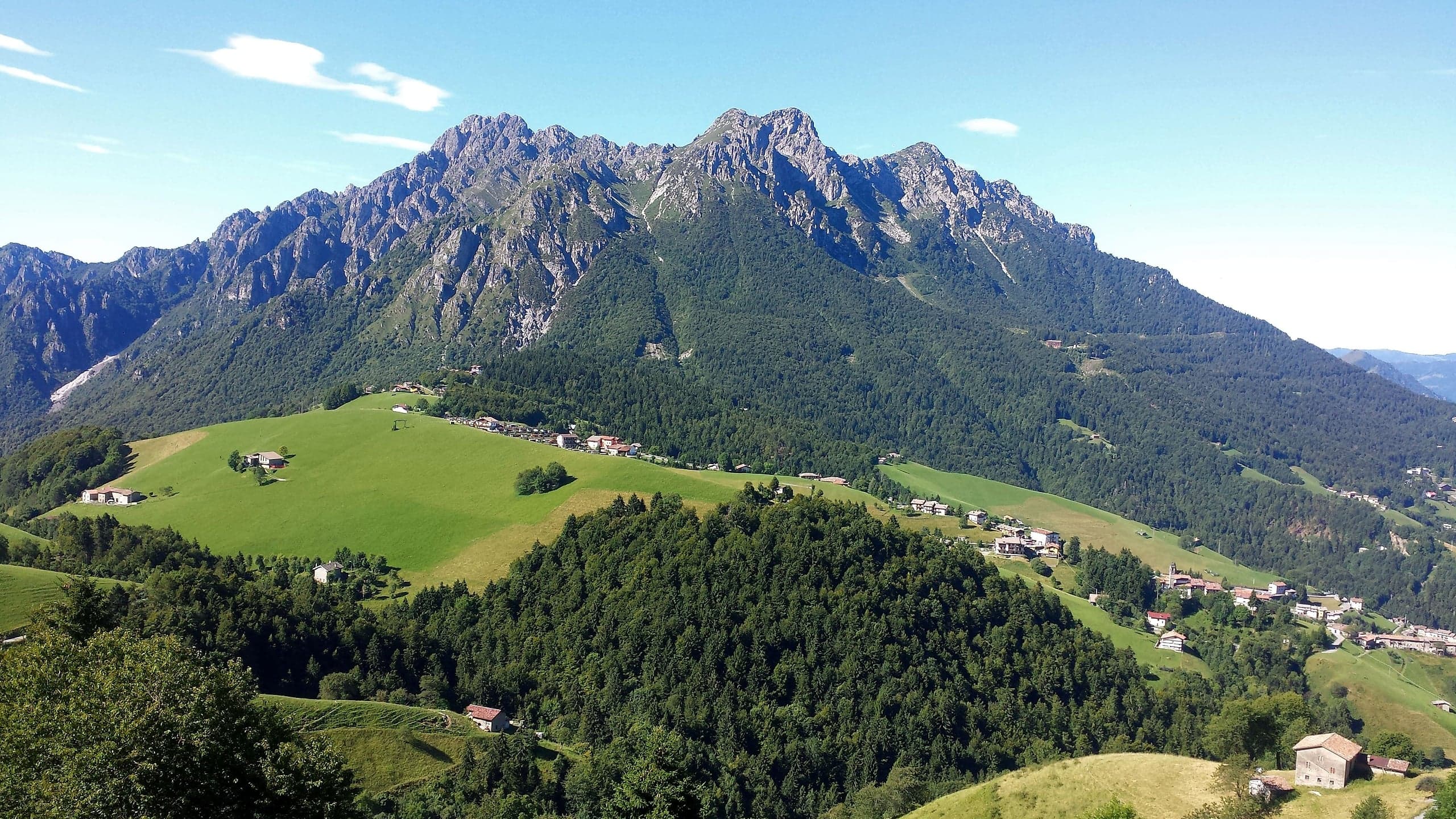
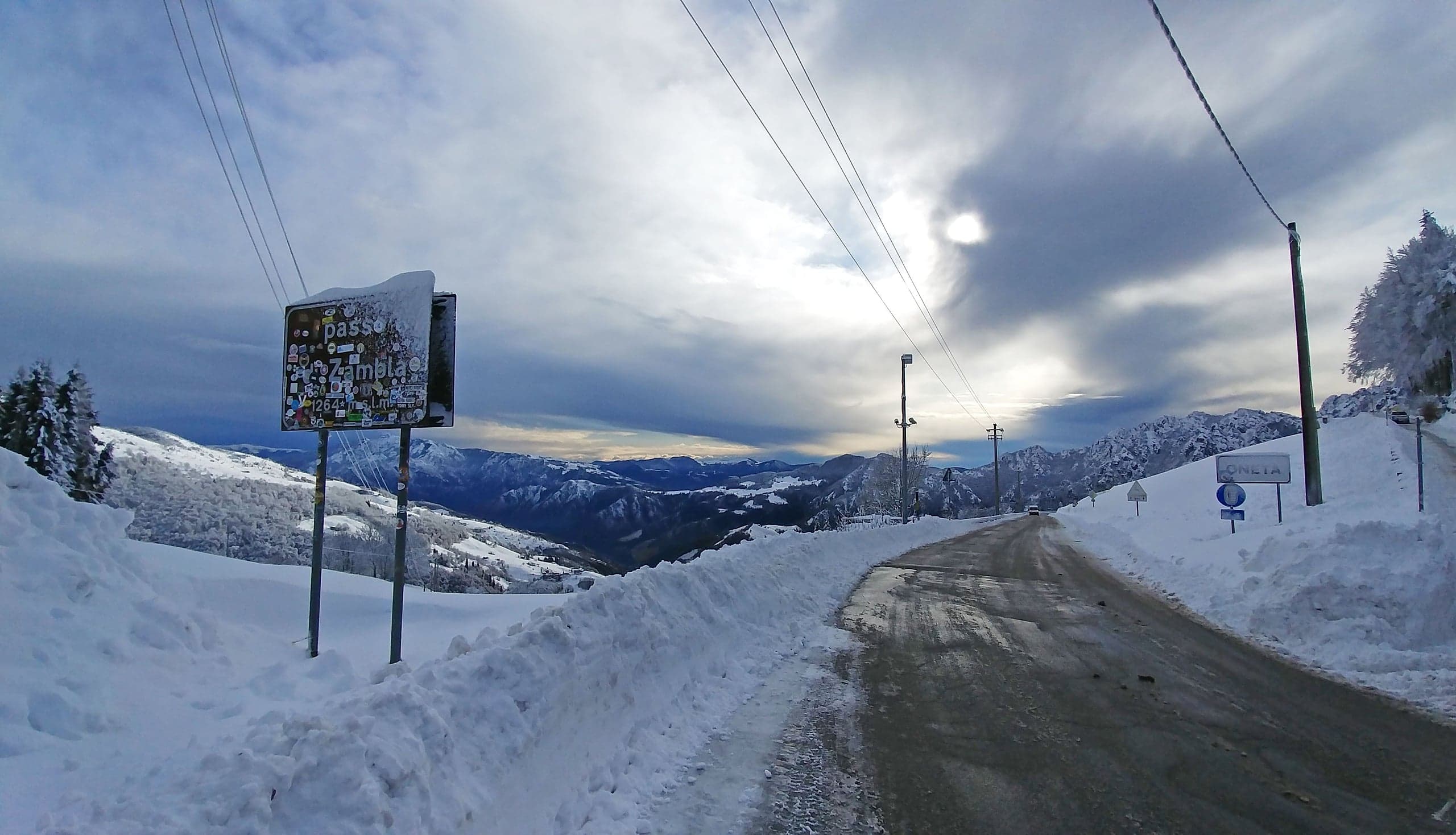
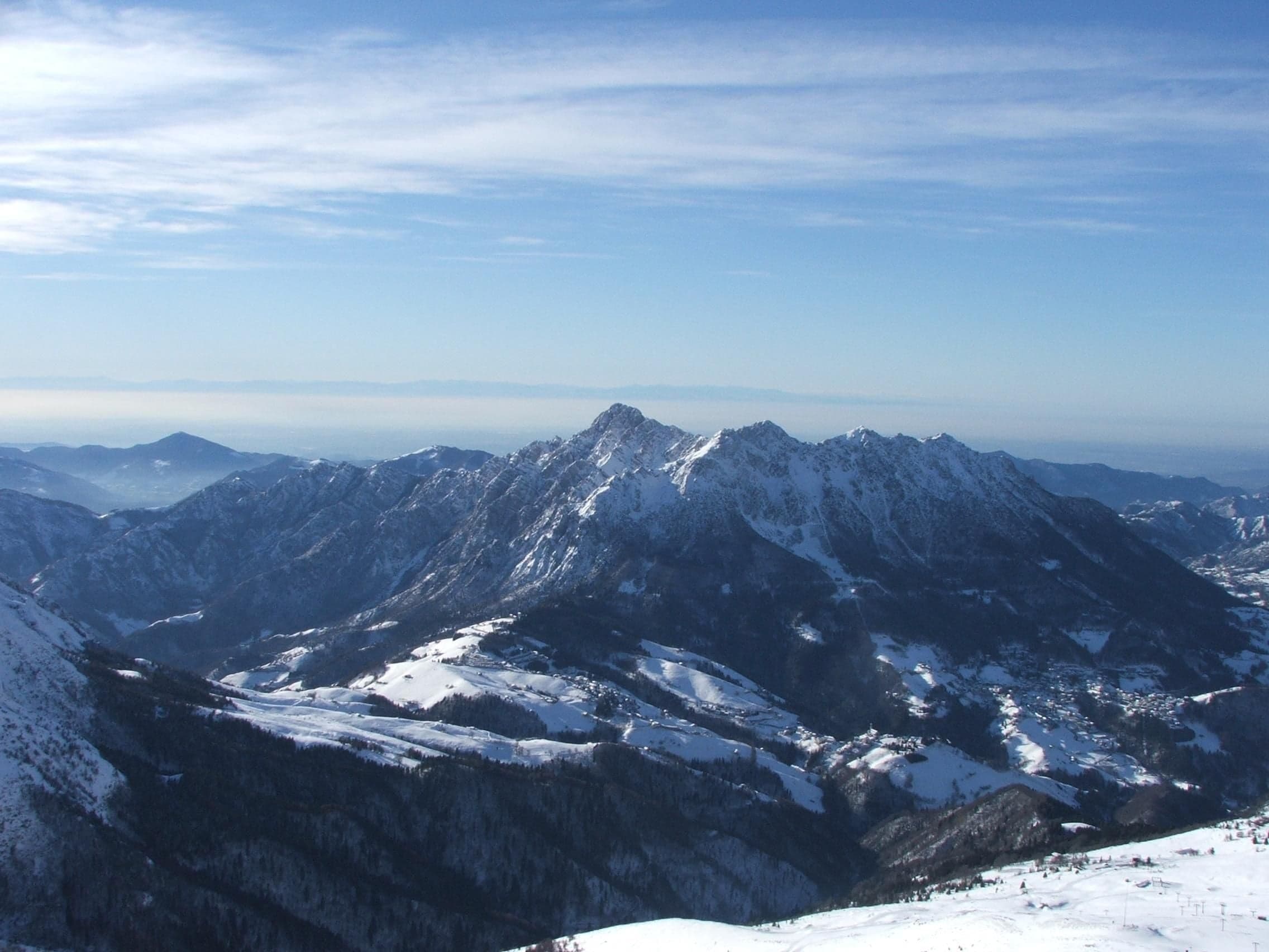
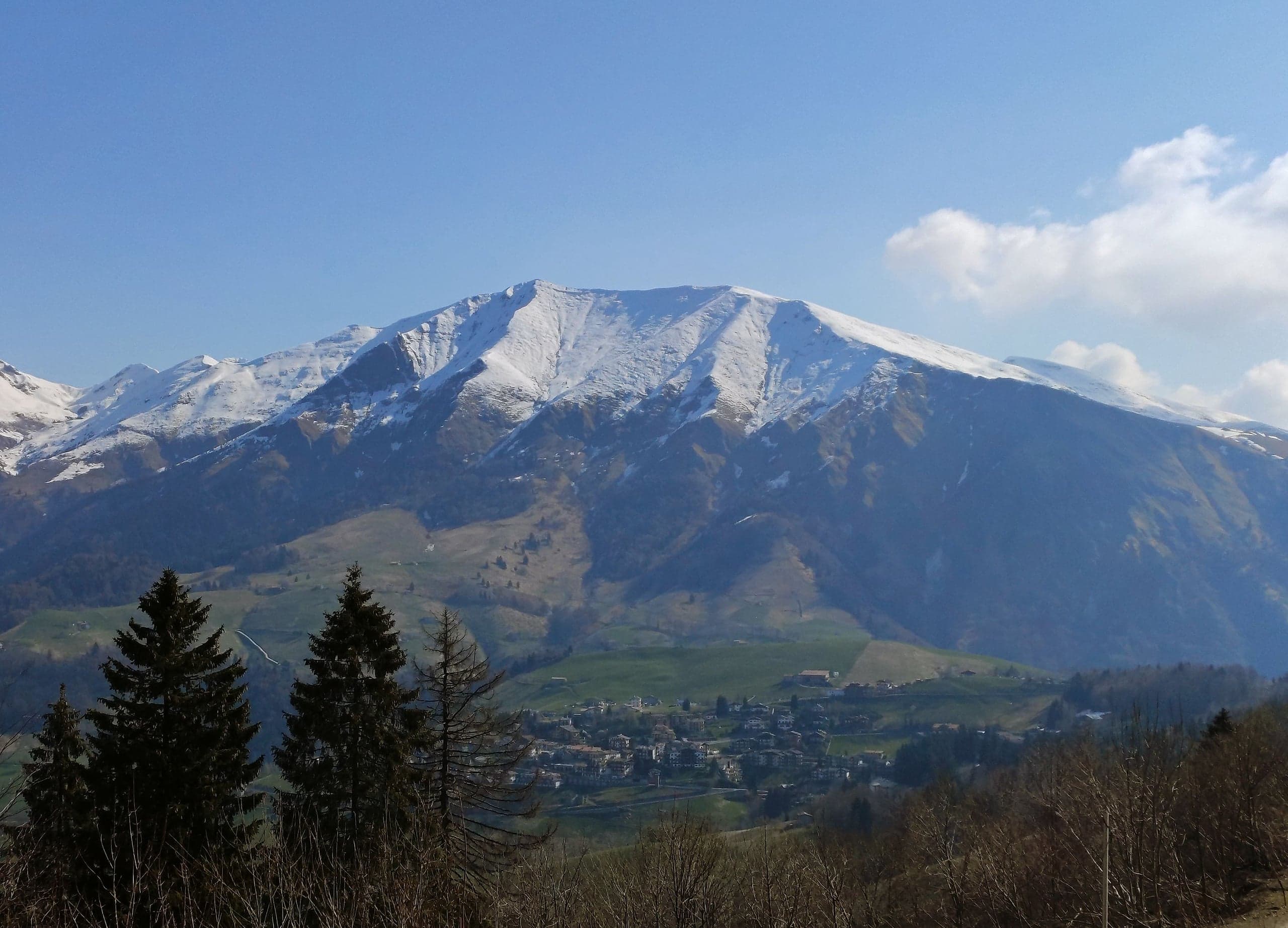
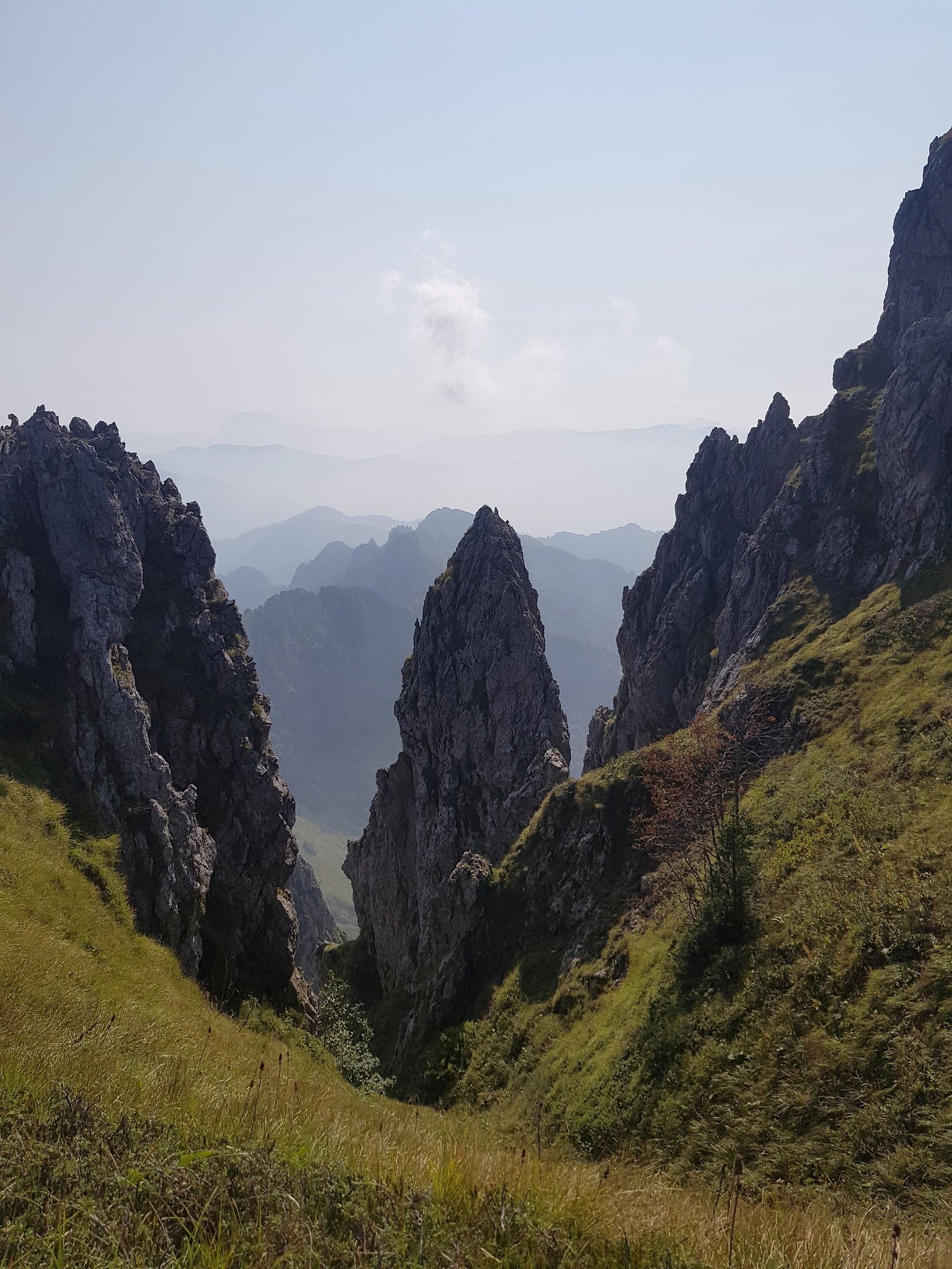
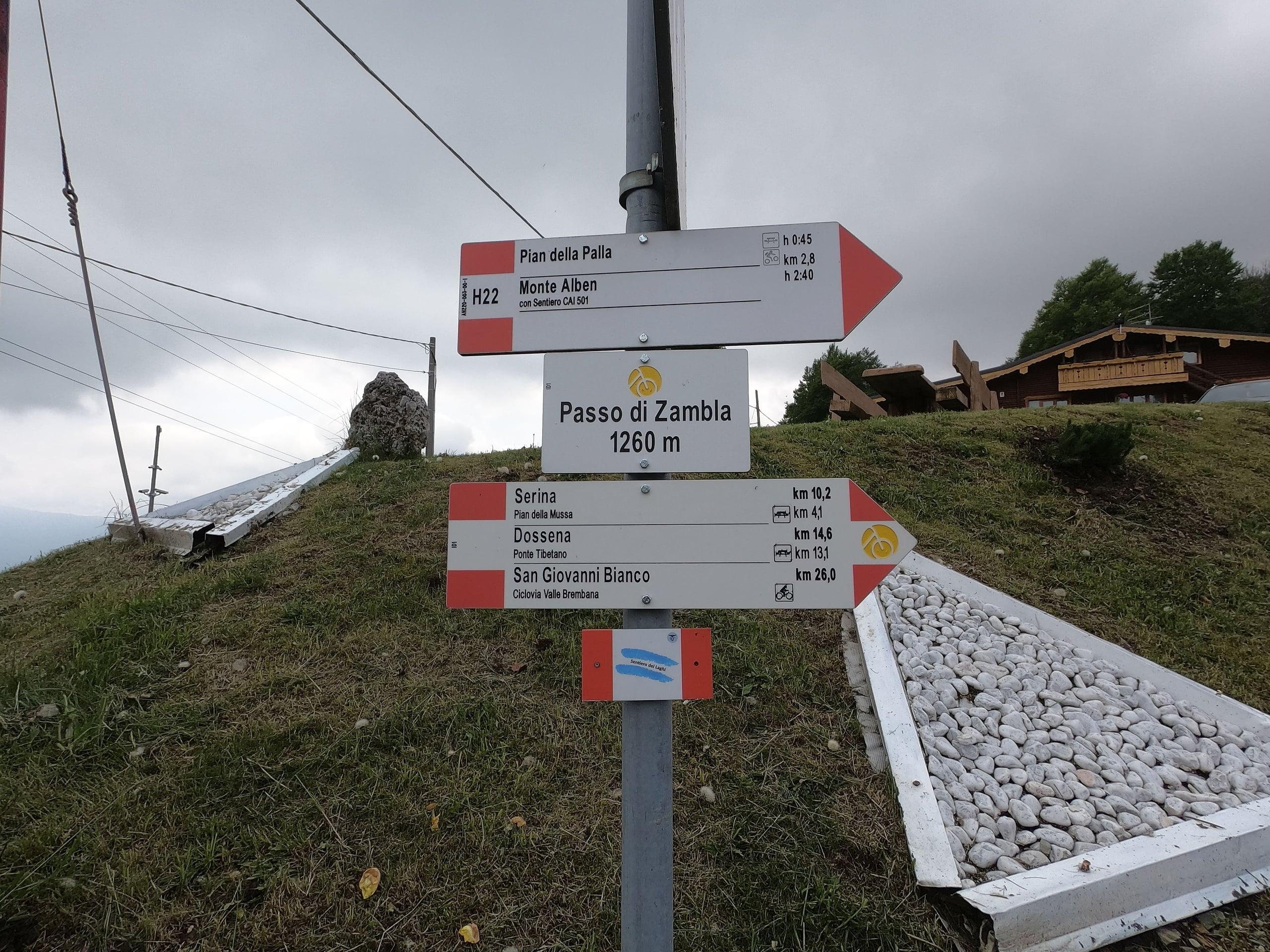
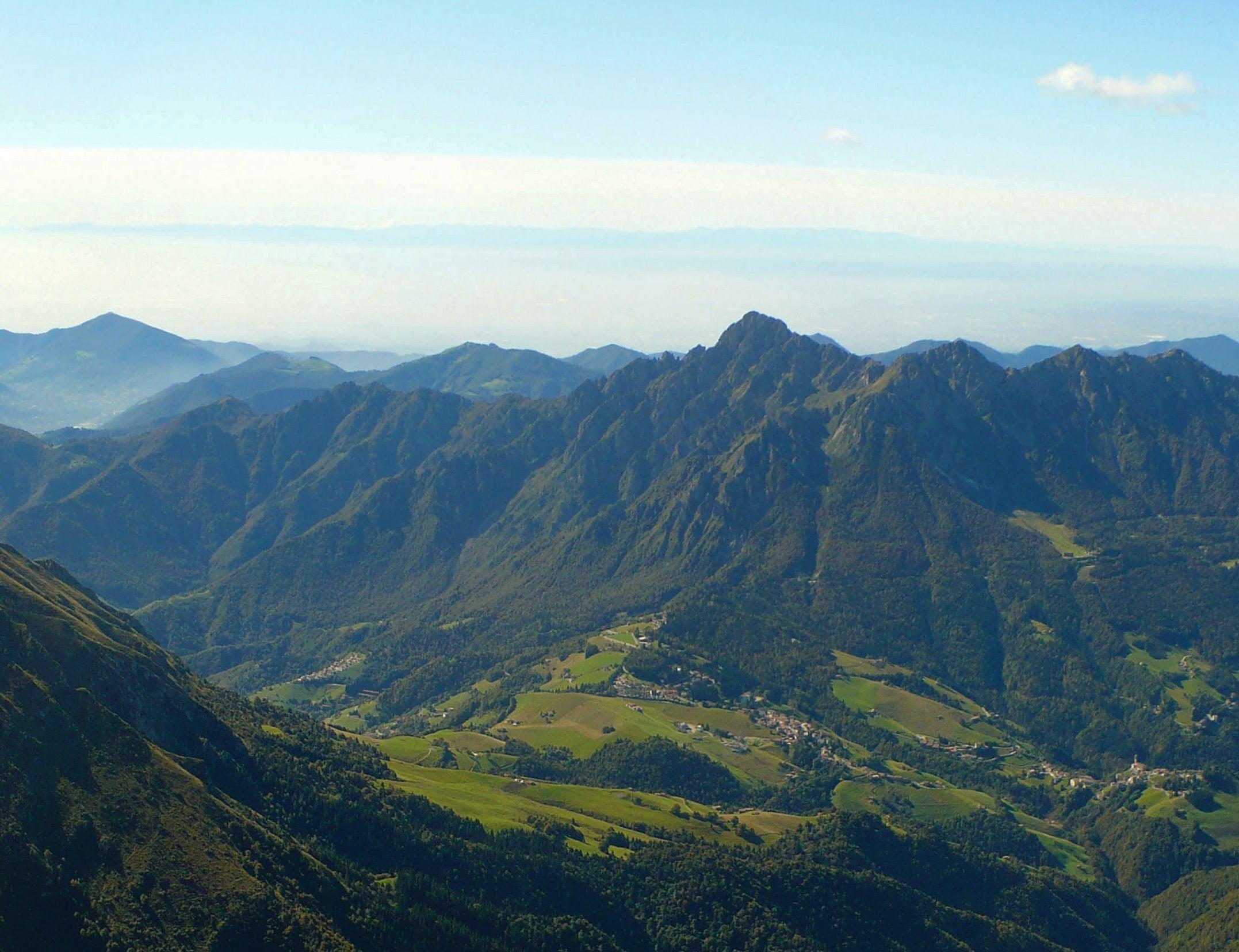
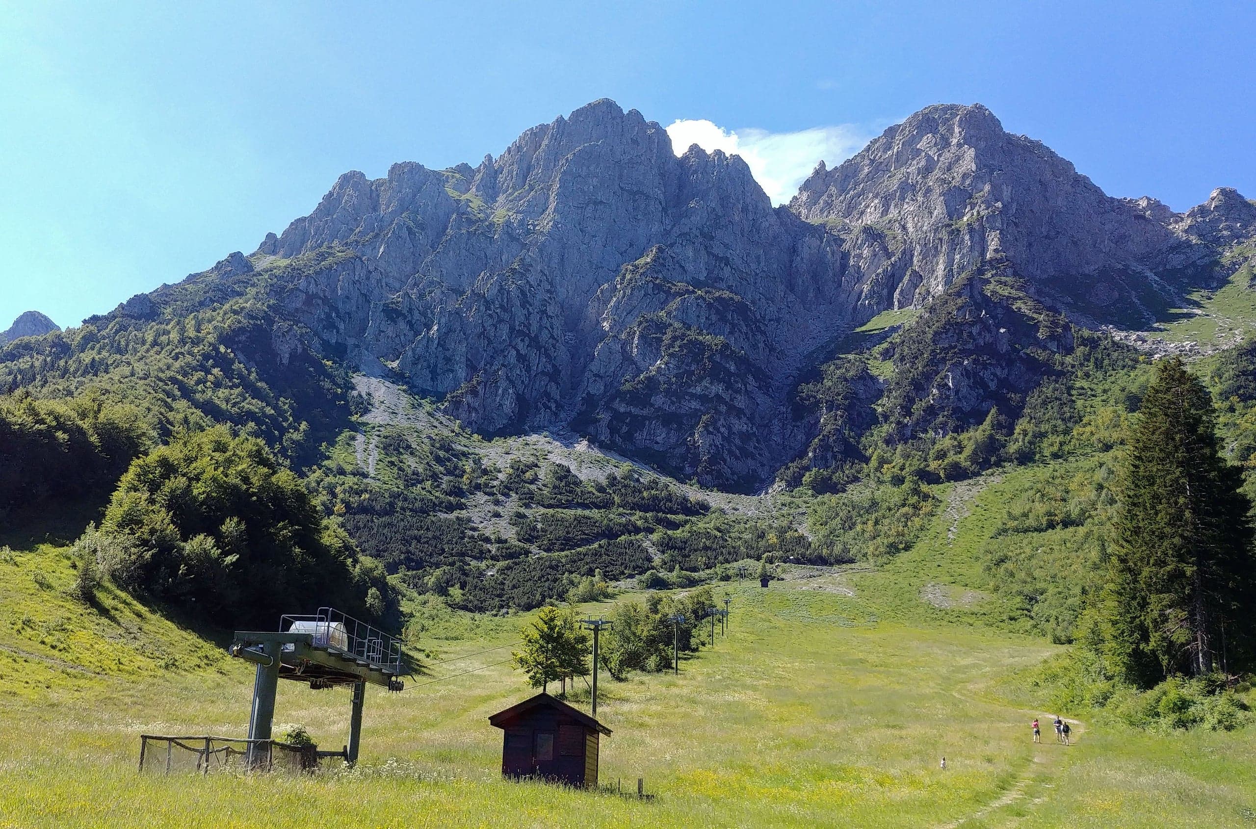
The village lies on provincial road 27 of Val Serina, which here takes the names via Bertulli and via Prealpina, and it is the last one before the Colle di Zambla (1,264 m): the pass is a few hundred metres further south, and that is where the road crosses over towards Val del Riso and the Seriana valley. Right above the pass rise the spires of Monte Alben; on the opposite side a municipal road climbs for about four kilometres to Plassa and continues to the open area of the old ski lifts of Alpe Arera, at around 1,600 metres, the base for Capanna 2000 and Pizzo Arera.
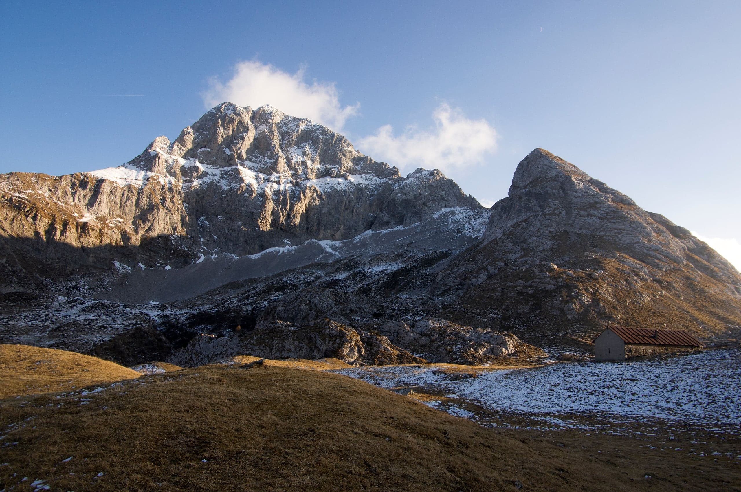
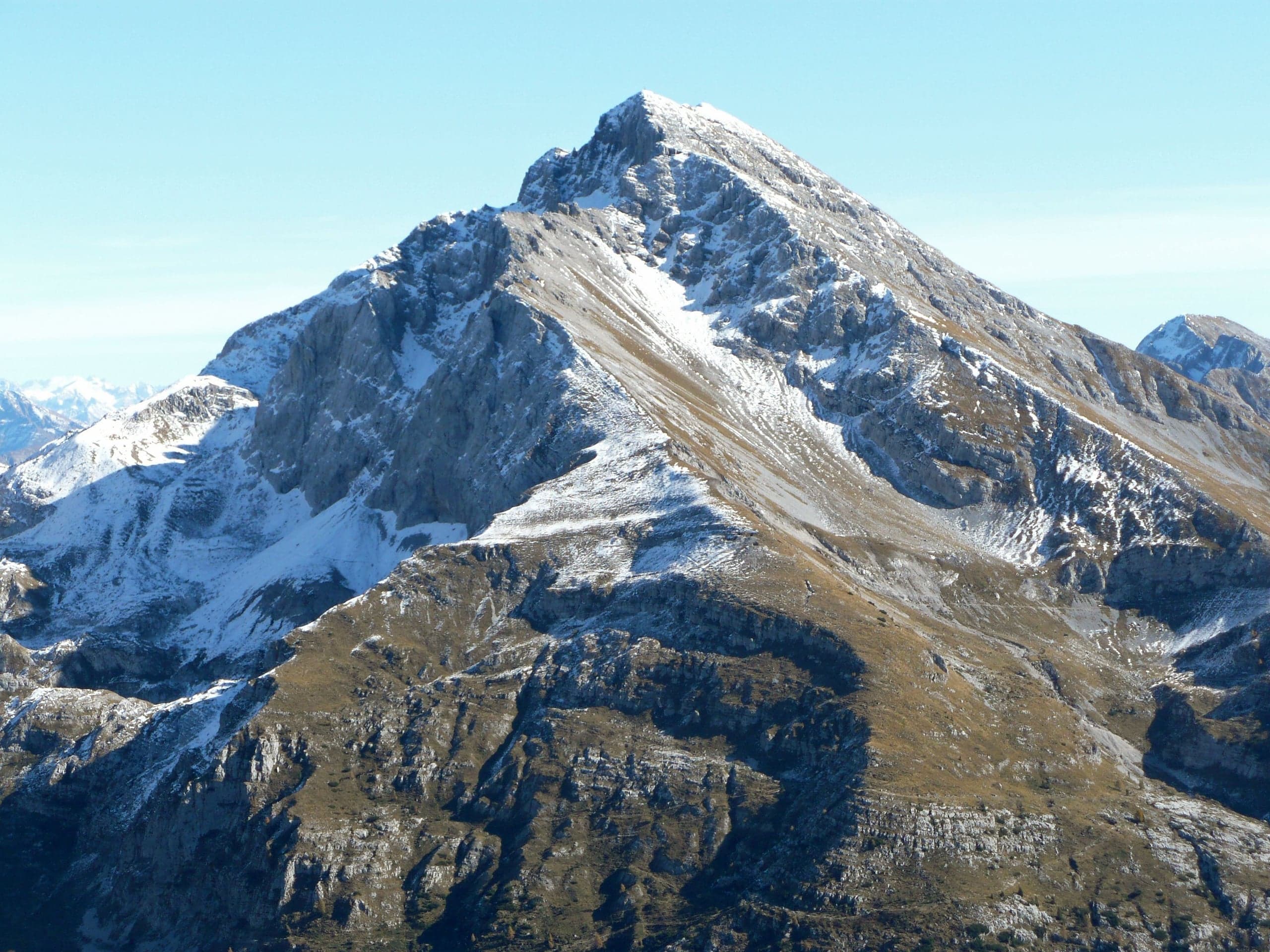
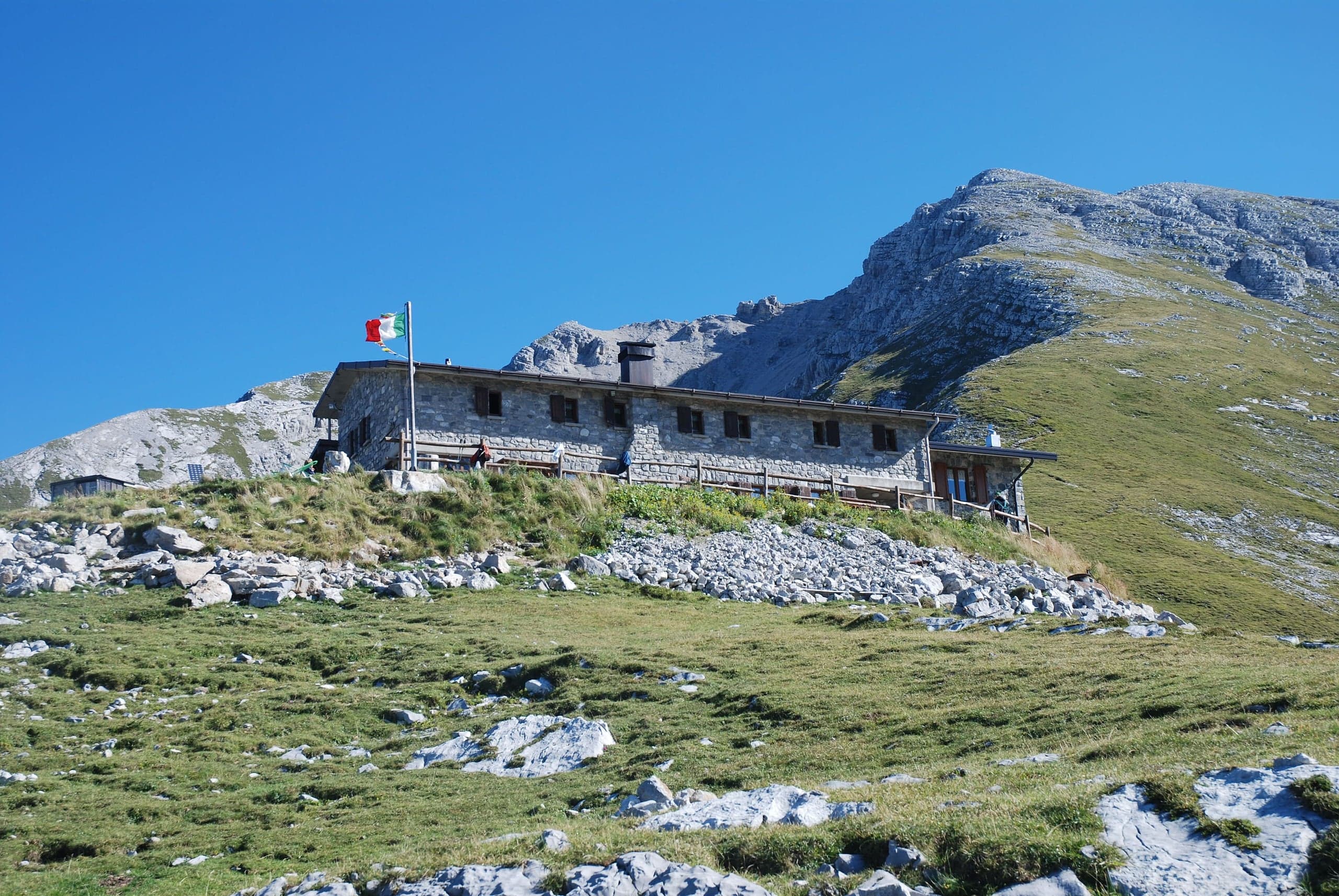
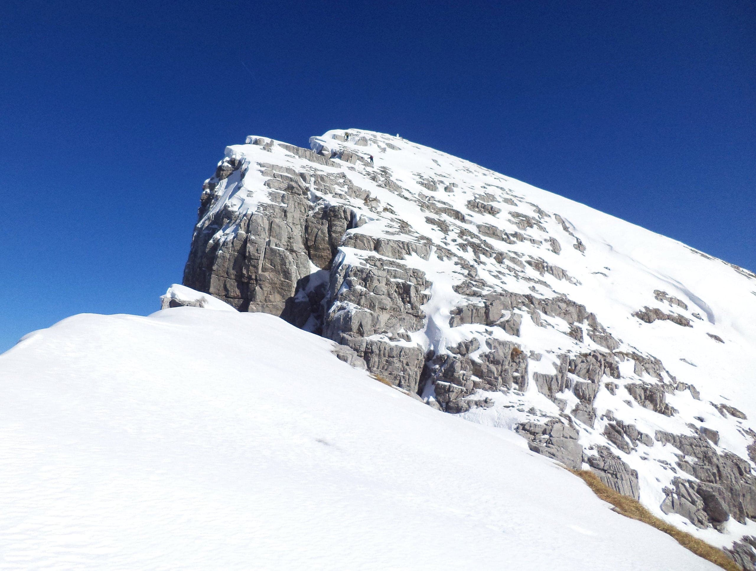
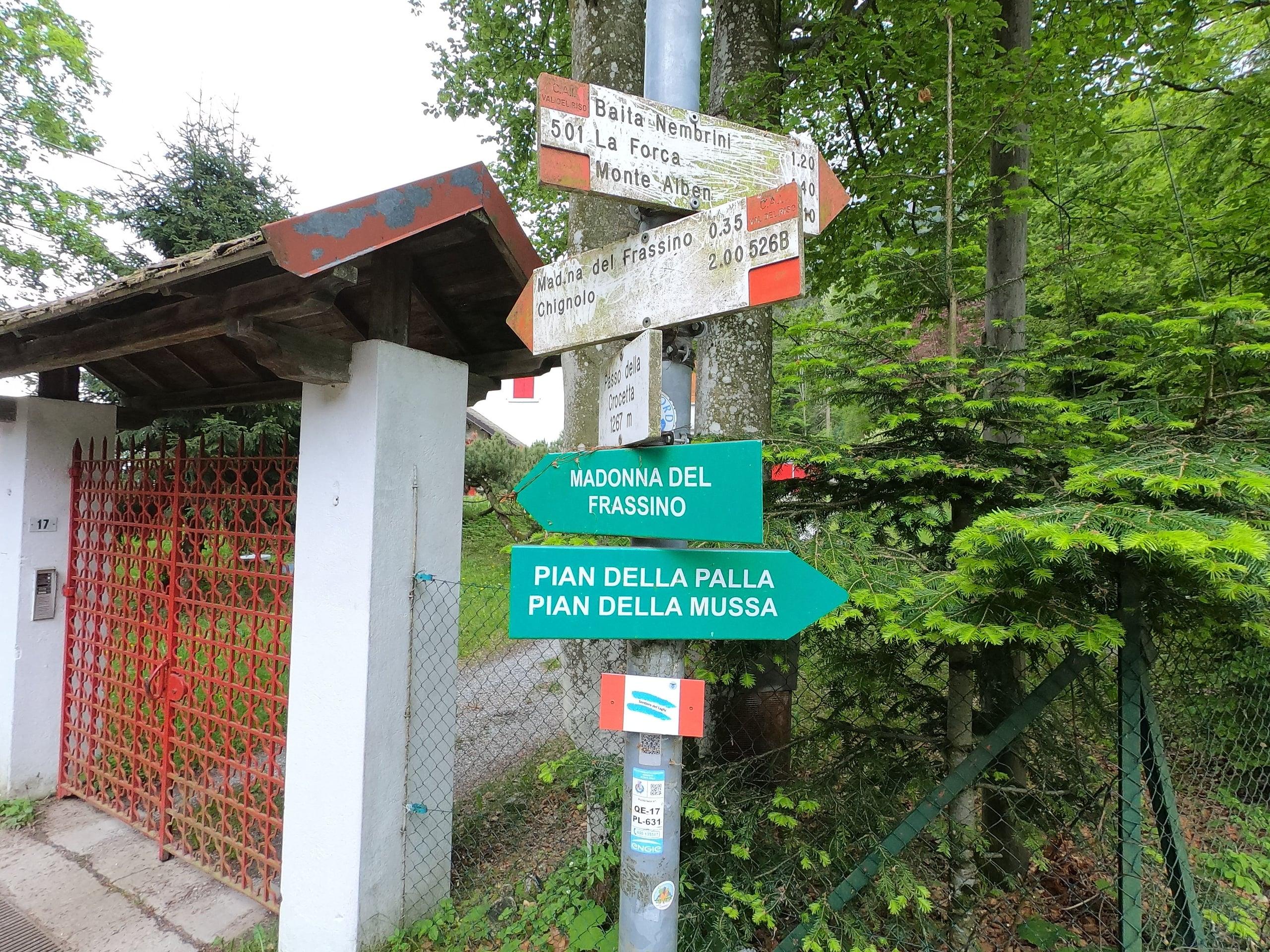
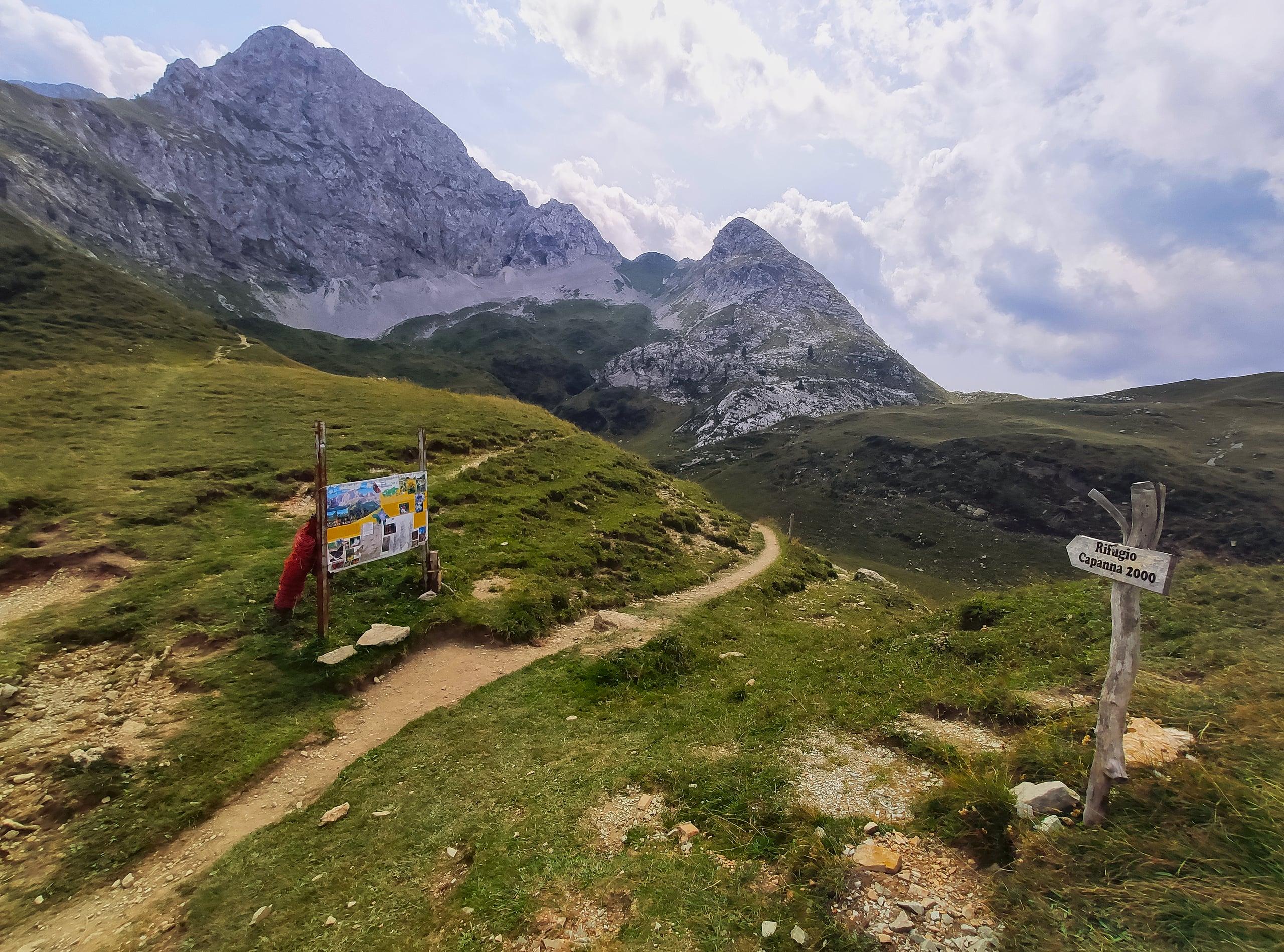
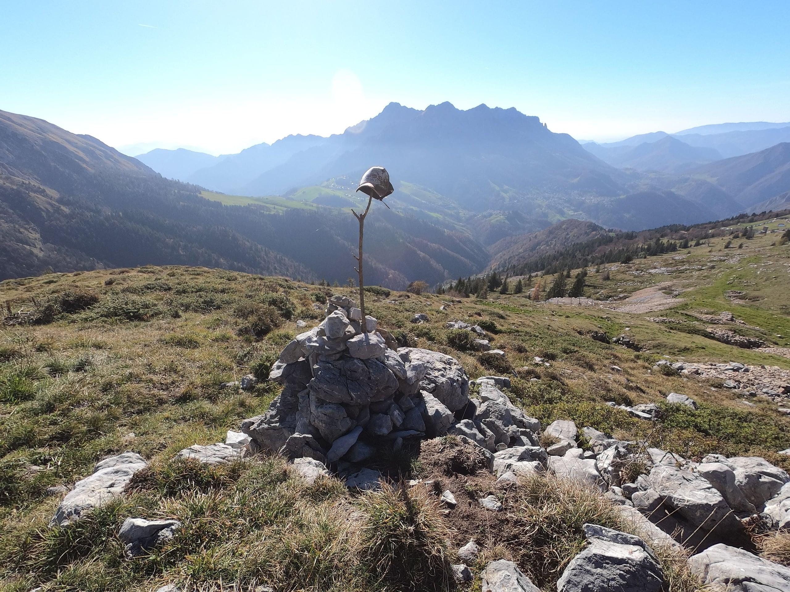
Almost all the basin's high-mountain trails start from here or from the pass. CAI trail 221 climbs to the Capanna 2000 hut (1,960 m) from the Camping Arera area at Plassa, and in summer it can be shortened by driving up to the old lifts; from the hut start the normal route up Pizzo Arera (2,512 m) and the Sentiero dei Fiori. From the Colle di Zambla, CAI trail 501 is the busiest and shortest route up Monte Alben (2,019 m): about 3.7 kilometres and 750 metres of ascent, 2 hours 15 minutes up according to CAI Bergamo, with a final ridge for expert hikers. Also from the pass start trail 223 to Cima di Grem and trail 238, which passes the santella of the Madonna di Caravaggio and the Baita Camplano and reaches Capanna 2000 in about three hours.
In the woods above Plassa stands the Cattedrale Vegetale by Giuliano Mauri, the land-art work commissioned by the Orobie Bergamasche Park with the municipalities of Oltre il Colle, Roncobello and Ardesio: five naves and 42 columns woven from 1,800 fir poles and 600 chestnut branches around young beech trees, which as they grew were meant to replace the cages. Storm Vaia in 2018 brought most of it down: today the columns that withstood the wind are still standing, and it is worth knowing before you climb up.
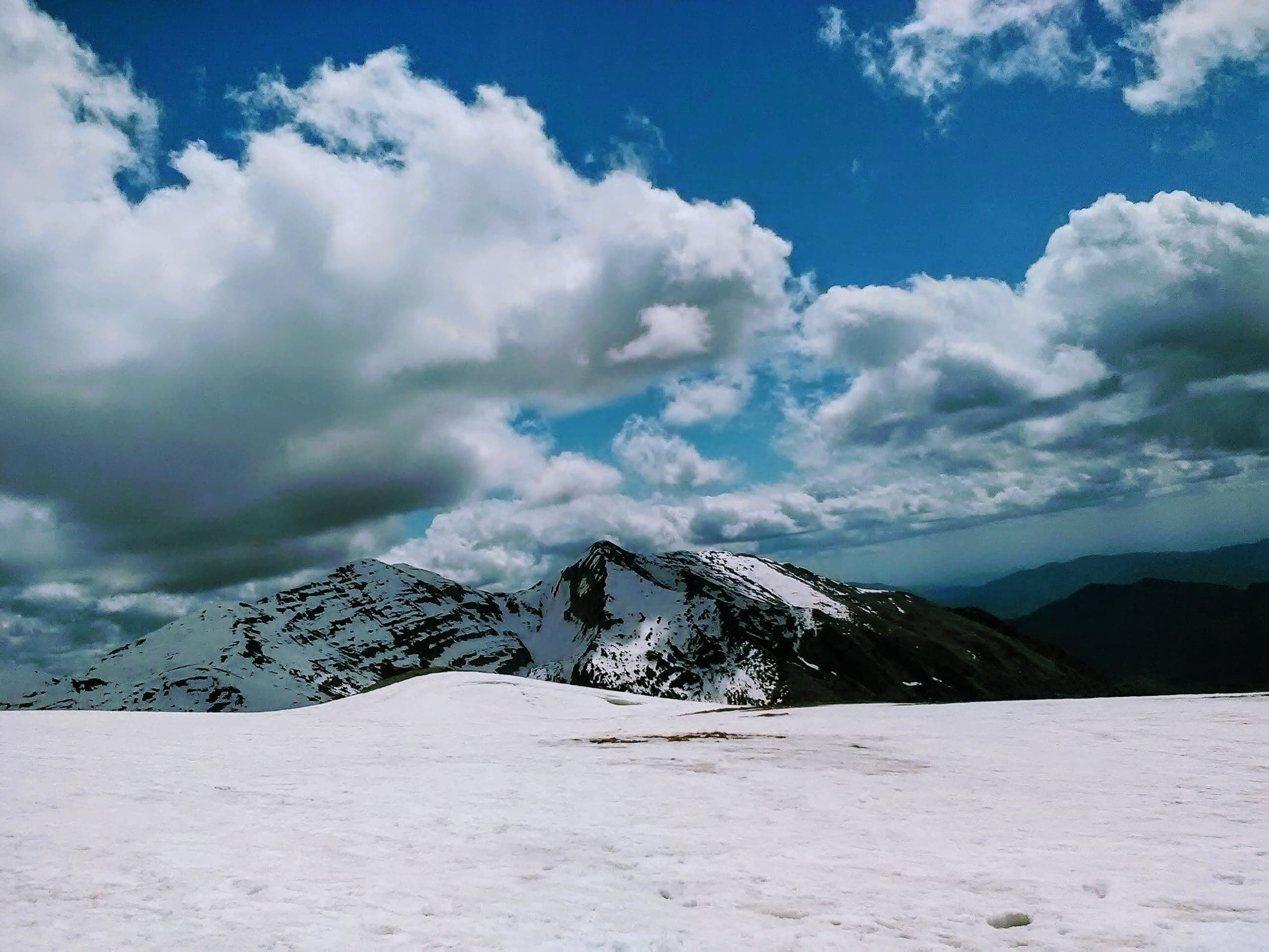
In winter Zambla Alta is one end of the basin's cross-country centre: the Pro Loco speaks of 16 kilometres of tracks on the slopes of the Alben, accessed from the Passo di Zambla or from Pian della Palla. At the Conca dell'Alben there are two downhill runs suitable for learning, not a ski resort: all that remains of the old Alpe Arera lifts is the open area that serves as a car park. In the hamlet you can rent downhill and cross-country skis, snowboards, sledges, snowshoes and mountain bikes, and in summer a snow-tubing run operates at the Albergo Neve.
History
The history of Zambla begins on 4 May 1287, when the upper Val Serina was bought by the inhabitants of Serina together with those of Grimoldo for 624 imperial lire. At the time the place was called Zolambra and was a dense forest: only the clearing of the following centuries turned it into the pastures that would make Zambla famous for its cattle and cheeses. In the sixteenth century Zambla Alta and Zambla Bassa were already two of the five colonnelli into which the municipality was divided, but the parish founded in 1587 was a single one, the one that today stands in Zambla Bassa, and in 1779 the councillors of Zambla were still counted together: four for Zambla Alta and Bassa, out of ten.
Zambla Alta's first step towards a religious life of its own came on 28 July 1712, when the Senate of the Venetian Republic granted the request of its few inhabitants to build a church subsidiary to the parish church of Zambla, dedicated to the Immaculate Conception of Mary. The administrative separation of the two hamlets, according to the local historical research by Massimo Maurizio published on the Blog della Valserina, dates instead from the 1930s; as late as 2014, the same research noted, the cemetery was still shared by the two hamlets.
Ecclesiastical autonomy came much later: by decree of 28 June 1960 the bishop of Bergamo Giuseppe Piazzi made Zambla Alta an independent parish, detaching it from that of Santa Maria Maddalena of Zambla, and civil recognition followed with a decree of the President of the Republic of 6 February 1961. In 1971 the parish was assigned to pastoral zone V, in 1979 it joined the vicariate of Selvino-Serina and in 1986, with the reorganisation of ecclesiastical bodies, it was reunited with that of Zambla Bassa in the present parish of Santa Maria Maddalena and Santa Maria Immacolata.
For centuries the pass was crossed only on foot: the research of Massimo Maurizio recalls that the road over the Colle di Zambla was opened to vehicles only around the 1970s, while before that a mule track linked the basin to Val del Riso. The tourist vocation dates from after the Second World War, with the founding of the Pro Loco of Oltre il Colle in 1956. In the same years the Colle di Zambla entered cycling history, with two crossings by the Giro d'Italia: in 1976, on the 238-kilometre Terme di Comano–Bergamo stage, first over the top Gianbattista Baronchelli, and in 1977, on the 205-kilometre Pinzolo–San Pellegrino Terme stage, first over the top Renato Laghi.