By bike · Zambla Alta · Oltre il Colle
Colle di Zambla by bike: the climbs from Ponte Nossa and from Ambria
Colle di Zambla by bike: 13.7-14.1 km and about 800 m from Ponte Nossa, 23 steadier km from Ambria, the gradients section by section, the Giro and Il Lombardia.
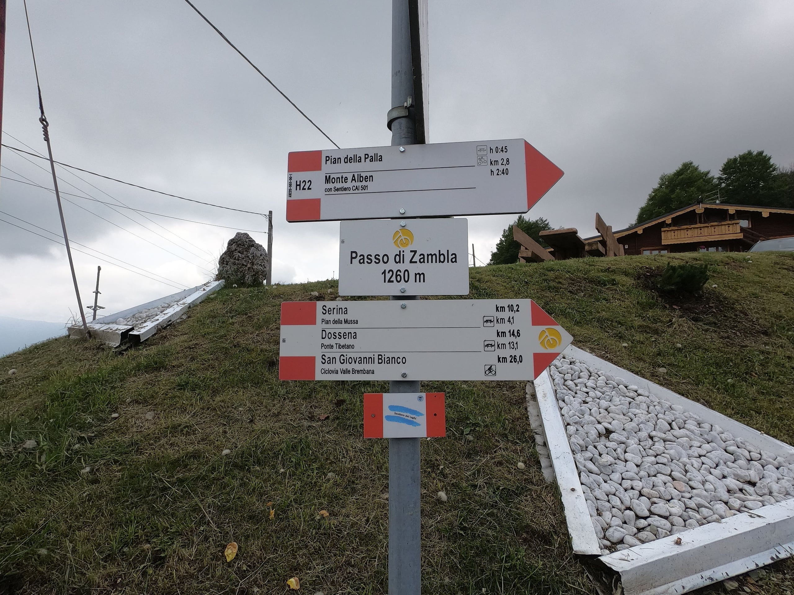
The Colle di Zambla is the only pass between Val Seriana and the Brembana valley crossed by an asphalt road; little used by cars, it is popular with motorcyclists and cyclists, especially at weekends (Wikipedia). For cyclists it is a climb with two sides of opposite character: short and steady from Ponte Nossa through the Val del Riso, long and broken by false flats from Ambria through Val Serina, with Oltre il Colle and Zambla on the Brembana side just below the pass.
On the Seriana side the portals give close but not identical figures, because they measure from different points: 13.7 kilometres and 793 metres for myCols, 14.0 and 806 for CyclingCols, 14.1 and 811 for climbfinder, 14.1 and 816 for salite.ch, with average gradients of 5.7 to 5.8 per cent. From Ambria it is 22.9-23.5 kilometres and 918-961 metres, at 3.9-4.2 per cent on average.
The pass featured in the Giro d'Italia in 1976 and 1977 and, with the climb to Zambla Alta, in the 2023 and 2025 editions of Il Lombardia.
The Val Seriana side: from Ponte Nossa through the Val del Riso
You leave Val Seriana at Ponte Nossa and climb the SP46 via Erdeno, Oneta and the Cantoni d'Oneta. The salite.ch profile shows a climb in steps: the first 2 kilometres are almost flat, then up to kilometre 4.5 the gradient stays between 7 and 8 per cent; two false flats follow, at 2 and 3 per cent, around Oneta, and from kilometre 9.5 a long ramp between 7.5 and 8 per cent broken only by half a kilometre at 6.
Maximum gradients depend on how they are measured: climbfinder finds 12.2 per cent over the steepest hundred metres, CyclingCols gives 10, myCols 8.5, and salite.ch never goes above 8 on sections of half a kilometre or more. Wikipedia describes it as winding and, in its last part, without shade. Valle Seriana Bike's Arera Tour avoids the first stretch of main road with the Val del Riso cycle path, which runs on its own track from Ponte Nossa to Riso, and then climbs the SP46 for the last 10 kilometres.
The Brembana side: from Ambria through Val Serina
From the Brembana valley main road you turn off at Ambria di Zogno onto the SP27 and climb through the gorges of Val Serina, the hamlet of Galleria, Algua and Serina. According to salite.ch the first 5 kilometres stay between 2 and 3 per cent; from the sixth kilometre the road climbs steadily between 4 and 6.6 per cent to Serina, at 830 metres, and carries on like this to the hardest kilometre before Valpiana, at 7.3 per cent. The Percorsi MTB Val Brembana description calls this stretch steady and easy to ride.
From Valpiana to the twentieth kilometre the road hardly climbs at all: six kilometres of false flats and short descents, with Oltre il Colle halfway. The last three kilometres after Oltre il Colle climb again, at 7.4 and 6.1 per cent, before the final 3.1. Wikipedia counts 23 kilometres from Zogno with steep sections that do not exceed 11 per cent, the same maximum as CyclingCols; climbfinder finds 9.6 per cent over the steepest hundred metres.
The Colle di Zambla in the Giro d'Italia and Il Lombardia
On 11 June 1976 stage 21 of the Giro, from Terme di Comano to Bergamo, 238 kilometres, crossed the Croce Domini, the Colle Gallo, Zambla and Selvino (BikeRaceInfo). Gianbattista Baronchelli was first over the Colle di Zambla (CyclingCols); on the descent the leader Johan De Muynck crashed, the bunch waited for him and then the racing started again (OA Sport). The stage was won in Bergamo by Felice Gimondi, who the next day, in the Arcore time trial, also won the Giro (OA Sport).
On 9 June 1977 stage 19, from Pinzolo to San Pellegrino Terme, 205 kilometres, crossed the Tonale, the Presolana and Zambla: Renato Laghi went over first and won alone after a long breakaway, 1 minute 32 seconds ahead of Baronchelli; it was his only professional win (CyclingCols, BikeRaceInfo, Wikipedia).
Il Lombardia came back to the area in its 2023 and 2025 editions, both from Como to Bergamo over 238 kilometres, with the sequence Roncola, Berbenno, Passo della Crocetta, Zambla Alta and Passo di Ganda (RCS Sport): in 2023 Tadej Pogačar won, attacking on the descent of the Ganda. The 10 October 2026 edition, from Bergamo to Como, does not pass through Zambla.
Sportives: BERGHEM#molamia
The Colle di Zambla is one of the key passages of BERGHEM#molamia, the sportive organised by SC Gazzanighese starting and finishing in Gazzaniga: in its seventh edition, on 14 June 2026, all three routes, of 73, 120 and 185 kilometres, included the feed station at the Passo di Zambla and a timed section from via Costa in Oltre il Colle up to the pass.
Road, traffic and safety
The Brembana side depends on the SP27, which this year was closed for more than a month: from 28 August 2026, after a large boulder fell at Rosolo di Algua, with traffic and line B buses diverted via Costa Serina, until it reopened on the afternoon of 1 October 2026 (Valbrembanaweb, Arriva). Before setting off, check the Province's road news.
At the pass there are bars, restaurants and a fountain, useful before descending the other side (Wikipedia, L'Eco di Bergamo). The fountains along Val Serina are at Galleria, Serina and Valpiana (Percorsi MTB Val Brembana).
In detail
The climb's figures according to the portals
| Portal | Side | Length | Ascent | Average gradient | Maximum gradient |
|---|---|---|---|---|---|
| climbfinder | Ponte Nossa (SP46) | 14.1 km | 811 m | 5.7% | 12.2% over the steepest 100 m |
| CyclingCols | Ponte Nossa | 14.0 km | 806 m | 5.8% | 10.0% |
| myCols | Ponte Nossa (from 471 to 1,264 m) | 13.7 km | 793 m | 5.8% | 8.5% |
| salite.ch | Ponte Nossa (from 422 to 1,238 m) | 14.1 km | 816 m | 5.8% | 8.0% on sections of 0.5-1.1 km |
| climbfinder | Ambria (SP27) | 22.9 km | 961 m | 4.2% | 9.6% over the steepest 100 m |
| CyclingCols | Ambria | 23.2 km | 958 m | 4.0% | 11.0% |
| salite.ch | Fonte Bracca, from the SS470 (from 320 to 1,238 m) | 23.5 km | 918 m | 3.9% | 7.4% on the hardest kilometre |
For the top, climbfinder gives 1,262 m, CyclingCols 1,258 m, myCols and Wikipedia 1,264 m; the salite.ch profile ends at 1,238 m.
From Ponte Nossa section by section
| Section | Altitudes | Average gradient |
|---|---|---|
| km 0-0.5 | 422-430 m | 1.6% |
| km 0.5-2 | 430-470 m | 2.7% |
| km 2-2.5 | 470-505 m | 7.0% |
| km 2.5-3, at Erdeno | 505-545 m | 8.0% |
| km 3-4.5 | 545-660 m | 7.7% |
| km 4.5-5.5 | 660-680 m | 2.0% |
| km 5.5-6, at Oneta | 680-720 m | 8.0% |
| km 6-7 | 720-750 m | 3.0% |
| km 7-9, at the junction | 750-865 m | 5.8% |
| km 9-9.5 | 865-885 m | 4.0% |
| km 9.5-10.5, at the Cantoni | 885-960 m | 7.5% |
| km 10.5-11.5 | 960-1,040 m | 8.0% |
| km 11.5-12.5 | 1,040-1,120 m | 8.0% |
| km 12.5-13 | 1,120-1,150 m | 6.0% |
| km 13-14.1 | 1,150-1,238 m | 8.0% |
From the salite.ch profile «Colle di Zambla Alta, da Ponte Nossa».
From Ambria section by section
| Section | Altitudes | Average gradient |
|---|---|---|
| km 0-1.5, from the SS470 to the Fonte Bracca | 320-354 m | 2.3% |
| km 1.5-3.5 | 354-421 m | 3.3% |
| km 3.5-5.5 | 421-474 m | 2.7% |
| km 5.5-6.5 | 474-516 m | 4.2% |
| km 6.5-7.5, at Frerola | 516-575 m | 5.9% |
| km 7.5-8.5 | 575-639 m | 6.4% |
| km 8.5-9.5 | 639-701 m | 6.2% |
| km 9.5-10.5 | 701-764 m | 6.3% |
| km 10.5-11.5, at Serina | 764-830 m | 6.6% |
| km 11.5-13.5 | 830-940 m | 5.5% |
| km 13.5-14.5, at Valpiana | 940-1,013 m | 7.3% |
| km 14.5-15.5 | 1,013-1,032 m | 1.9% |
| km 15.5-16.5 | 1,032-1,025 m | Descent of 0.7% |
| km 16.5-17.5, at Oltre il Colle | 1,025-1,029 m | 0.4% |
| km 17.5-18.5 | 1,029-1,055 m | 2.6% |
| km 18.5-19.5 | 1,055-1,036 m | Descent of 1.9% |
| km 19.5-20.5 | 1,036-1,072 m | 3.6% |
| km 20.5-21.5 | 1,072-1,146 m | 7.4% |
| km 21.5-22.5 | 1,146-1,207 m | 6.1% |
| km 22.5-23.5 | 1,207-1,238 m | 3.1% |
From the salite.ch profile «Colle di Zambla Alta, da Fonte Bracca».
Practical tips
Before you set off
- From Ponte Nossa the gradient stays between 7 and 8 per cent for most of the last 5 kilometres: keep an easy gear in reserve.
- From Ambria the climb is long but gives about six kilometres of respite between Valpiana and the far side of Oltre il Colle.
- Fill your bottles at the fountains in Galleria, Serina and Valpiana or at the pass.
- Before setting off check the state of the SP27: this year it was closed from 28 August to 1 October.
- The three GPX tracks listed here are reserved for registered users of the portals, but their length and ascent are public.
FAQ
Frequently asked questions: Colle di Zambla by bike: the climbs from Ponte Nossa and from Ambria
How long is the climb to the Colle di Zambla from Ponte Nossa?
Between 13.7 and 14.1 kilometres, with about 800 metres of ascent and an average gradient of 5.7-5.8 per cent: 13.7 km and 793 m for myCols, 14.0 km and 806 m for CyclingCols, 14.1 km and 811 m for climbfinder, 14.1 km and 816 m for salite.ch.
Which is the easier side of the Colle di Zambla?
The Brembana valley side, from Ambria di Zogno: about 23 kilometres for 918-961 metres of ascent, with an average gradient of around 4 per cent and about six almost flat kilometres between Valpiana and the far side of Oltre il Colle. From Ponte Nossa you climb almost the same height in 14 kilometres.
Which is the hardest section from Ponte Nossa?
According to the salite.ch profile, the last three and a half kilometres, from the Cantoni d'Oneta to the pass, almost all at 8 per cent, plus the 8 per cent sections around Erdeno and before Oneta. Climbfinder measures 12.2 per cent over the steepest hundred metres, CyclingCols gives a maximum of 10.
Has the Giro d'Italia crossed the Colle di Zambla?
Yes, twice. On 11 June 1976 on the Terme di Comano–Bergamo stage, with Gianbattista Baronchelli first at the top and Felice Gimondi winning the stage; on 9 June 1977 on the Pinzolo–San Pellegrino Terme stage, with Renato Laghi first over the pass and winner after a long breakaway.
Does Il Lombardia pass through Zambla?
The 2023 and 2025 editions, from Como to Bergamo, included the climb to Zambla Alta, after Berbenno and the Passo della Crocetta and before the Passo di Ganda. The 10 October 2026 edition, from Bergamo to Como, does not pass through Zambla.
How high is the Colle di Zambla?
1,264 metres according to Wikipedia, myCols and the map used by OpenStreetMap; climbfinder gives 1,262 metres and CyclingCols 1,258. The salite.ch profile stops at 1,238 metres.
Is the Val Serina road to the Colle di Zambla open?
Yes: the SP27, closed from 28 August 2026 after a landslide at Rosolo di Algua, reopened on the afternoon of 1 October 2026 (Valbrembanaweb). During the closure traffic was diverted via Costa Serina.
Where can you find water on the way up to the Colle di Zambla?
On the Brembana side there are fountains at Galleria, Serina and Valpiana; at the Passo di Zambla there is a fountain near the car park. There are also bars and restaurants at the pass.
Sources
- climbfinder – Passo di Zambla da Ponte Nossa · climbfinder.com · accessed on 1 October 2026
- climbfinder – Passo di Zambla da Ambria · climbfinder.com · accessed on 1 October 2026
- CyclingCols – Colle di Zambla (versanti e primi in vetta al Giro) · www.cyclingcols.com · accessed on 1 October 2026
- myCols – Colle di Zambla da Ponte Nossa · mycols.app · accessed on 1 October 2026
- salite.ch – Salite d'Europa, provincia di Bergamo (Colle di Zambla Alta) · www.salite.ch · accessed on 1 October 2026
- salite.ch – profilo «Colle di Zambla Alta, da Ponte Nossa» · www.salite.ch · accessed on 1 October 2026
- salite.ch – profilo «Colle di Zambla Alta, da Fonte Bracca» · www.salite.ch · accessed on 1 October 2026
- Wikipedia – Colle di Zambla · it.wikipedia.org · accessed on 1 October 2026
- Wikipedia – Giro d'Italia 1976 · it.wikipedia.org · accessed on 1 October 2026
- Wikipedia – Renato Laghi · it.wikipedia.org · accessed on 1 October 2026
- BikeRaceInfo – 1976 Giro d'Italia · www.bikeraceinfo.com · accessed on 1 October 2026
- BikeRaceInfo – 1977 Giro d'Italia · www.bikeraceinfo.com · accessed on 1 October 2026
- OA Sport – Giro d'Italia 1976, la terza vittoria di Felice Gimondi · www.oasport.it · accessed on 1 October 2026
- Il Lombardia – presentazione del percorso 2023 · www.ilombardia.it · accessed on 1 October 2026
- Il Lombardia – presentazione del percorso 2025 · www.ilombardia.it · accessed on 1 October 2026
- Il Lombardia – percorso 2026 Bergamo-Como · www.ilombardia.it · accessed on 1 October 2026
- Wikipedia (en) – 2023 Il Lombardia · en.wikipedia.org · accessed on 1 October 2026
- BERGHEM#molamia – regolamento 2026 · www.berghemmolamia.eu · accessed on 1 October 2026
- Valbrembanaweb – riaperta la SP27 della Val Serina (1° ottobre 2026) · valbrembanaweb.com · accessed on 1 October 2026
- Arriva Italia Bergamo – linea B Passo Zambla, deviazione per la chiusura della SP27 · bergamo.arriva.it · accessed on 1 October 2026
- Valle Seriana Bike – Arera Tour (ciclabile della Val del Riso) · www.valleserianabike.it · accessed on 1 October 2026
- Percorsi MTB Val Brembana – La selvaggia Val Parina (fontane della Val Serina) · www.percorsimtbvalbrembana.it · accessed on 1 October 2026
- L'Eco di Bergamo, Eppen – fontana al Colle di Zambla · www.ecodibergamo.it · accessed on 1 October 2026
- OpenStreetMap – Colle di Zambla · www.openstreetmap.org · accessed on 1 October 2026
Page verified on
Nearby
More pages from around here
Hikes · 2 minutes
Sentiero dei Fiori “Claudio Brissoni”
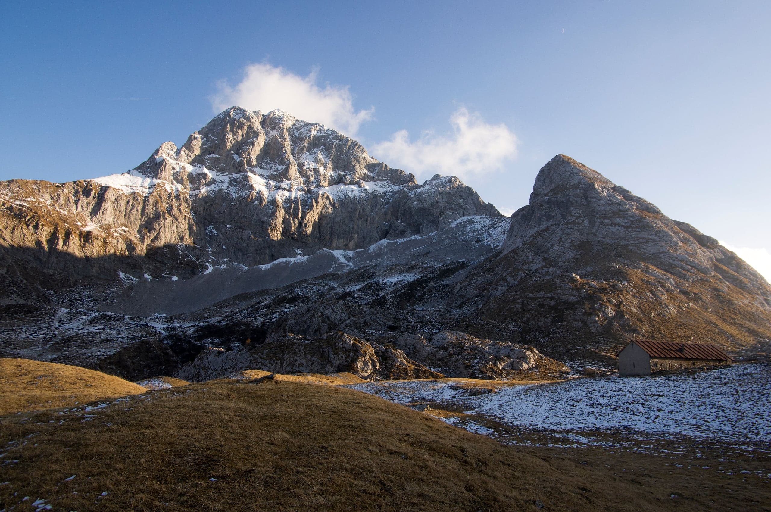
Sentiero dei Fiori Claudio Brissoni: a CAI loop of about 3 hours from the Capanna 2000 to Passo Branchino, 1,821–2,078 m, on the flowering slopes of the Arera.
Summits · 2 minutes
Pizzo Arera (2,512 m) by the south normal route
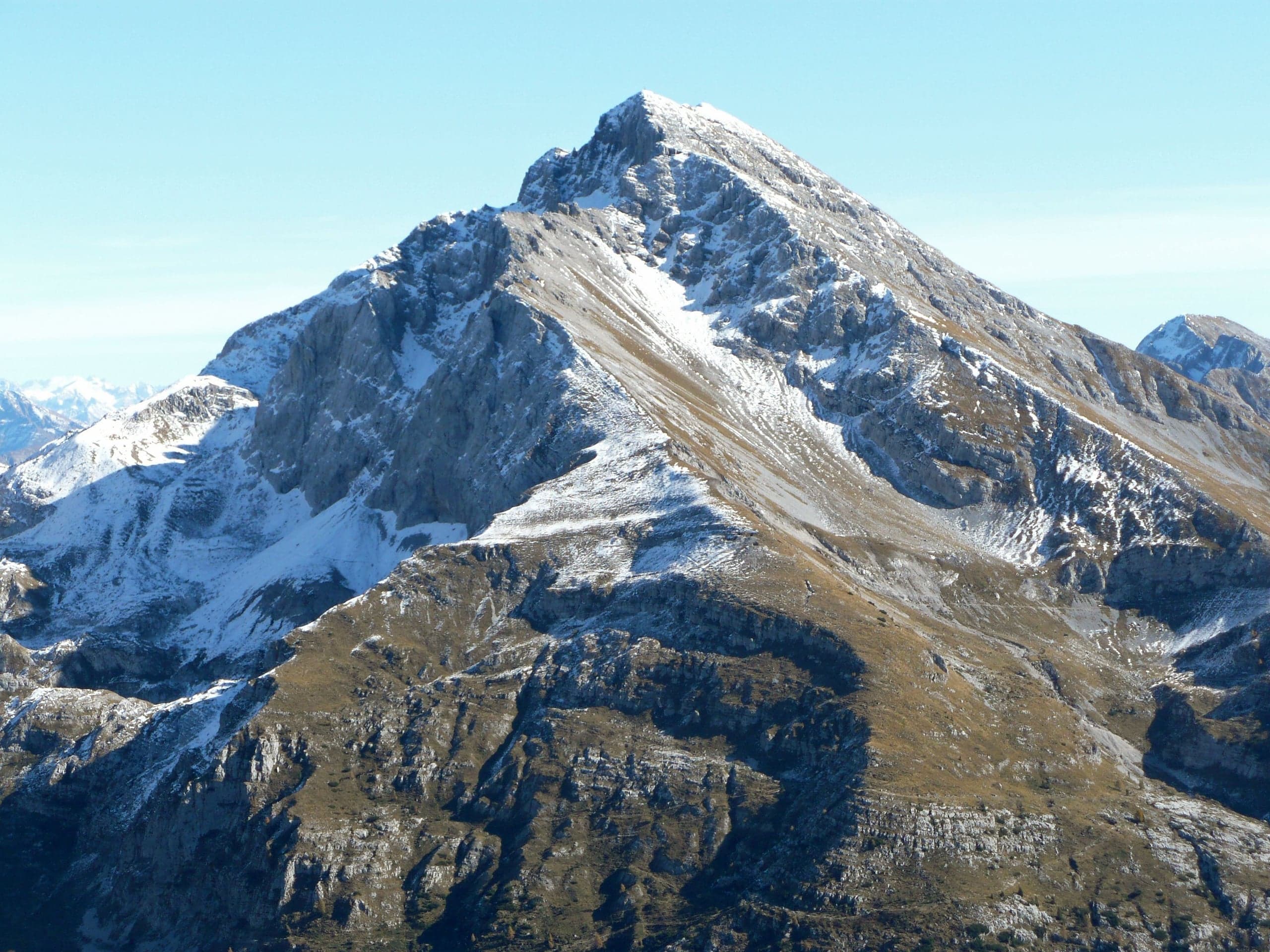
Pizzo Arera, 2,512 m, by the south normal route: from the Alpe Arera car park 922 m of ascent and about 2 h 30, with a protected gully just below the summit.
Summits · 2 minutes
Monte Alben (2,019 m) from the Colle di Zambla
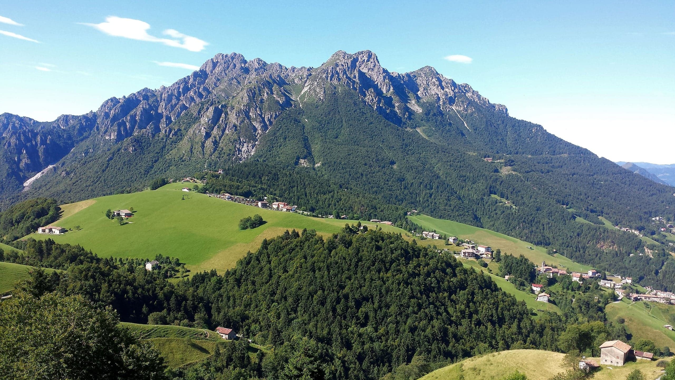
Monte Alben, 2,019 m, from the Colle di Zambla on CAI trail 501: 750 m and 2 h 15 via the Col dei Brassamonti, Passo della Forca and the final EE ridge.
Mountain huts · 2 minutes
Capanna 2000 hut
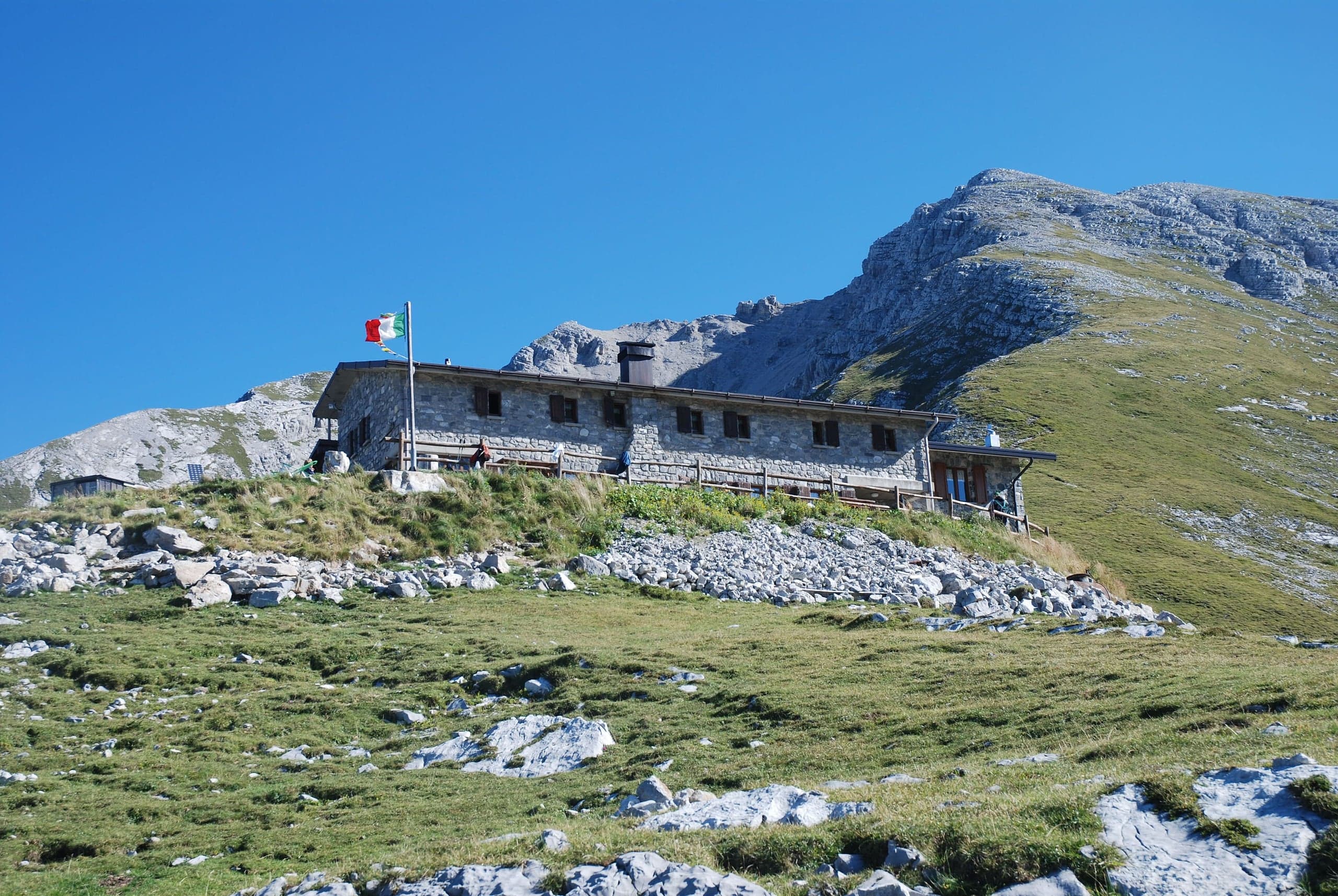
Capanna 2000 hut, 1,960 m below the Pizzo Arera: owned by Oltre il Colle, 25 beds, an hour from the Alpe Arera car park. Opening periods, booking and contacts.