Nature · Zambla Alta · Oltre il Colle
Colle di Zambla (1,264 m)
A 1,264 m pass from Val Serina to Val del Riso, the only road linking Brembana and Seriana: two Giro d'Italia climbs and trails to Alben, Grem and Capanna 2000.
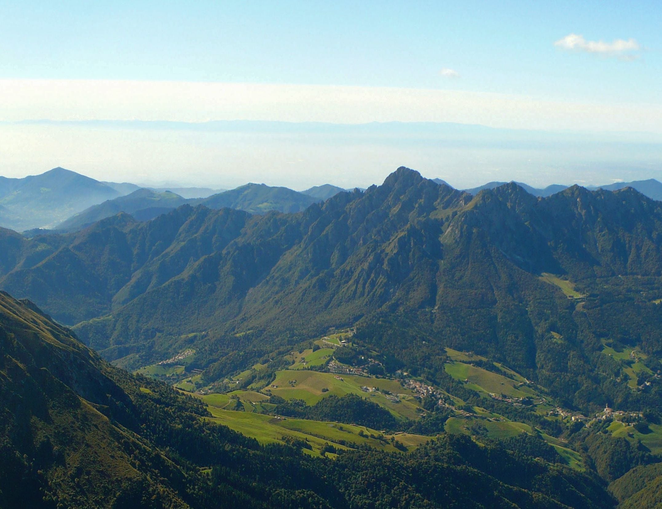
The Colle di Zambla, or Zambla pass, is the 1,264-metre pass linking the Val Serina and the Val Parina, on the Brembana side, with the Val del Riso, which runs down into the Seriana valley. It is the only crossing between the two great Bergamo valleys used by a road suitable for cars. According to the administrative boundaries of the Lombardy Region's Topographic Database, the pass itself falls within the municipality of Oltre il Colle, less than a hundred metres from the boundary with Oneta: indeed, some businesses at the pass have an Oneta address, and the nearby Passo della Crocetta is already in Oneta. Serina does not reach the pass: its boundary runs about one and a half kilometres away as the crow flies, to the west-south-west.
Even so there is little traffic, because to get from one valley to the other it is usually quicker to go down towards Bergamo; at weekends, however, the road is busy with cyclists and motorcyclists. At the pass there are bars, restaurants, an adventure park and a public car park, and several trails set off towards Monte Alben, the Grem and the Pizzo Arera; in winter the surrounding woods host cross-country ski tracks.
The pass also helps to understand the history of the basin. For centuries only a mule track crossed it; below and around it, between the Val del Riso and the Val Parina, spread the zinc mining district, which from the 1920s the Belgian company Vieille Montagne divided right here into a Seriana valley group and a Brembana valley group of concessions.
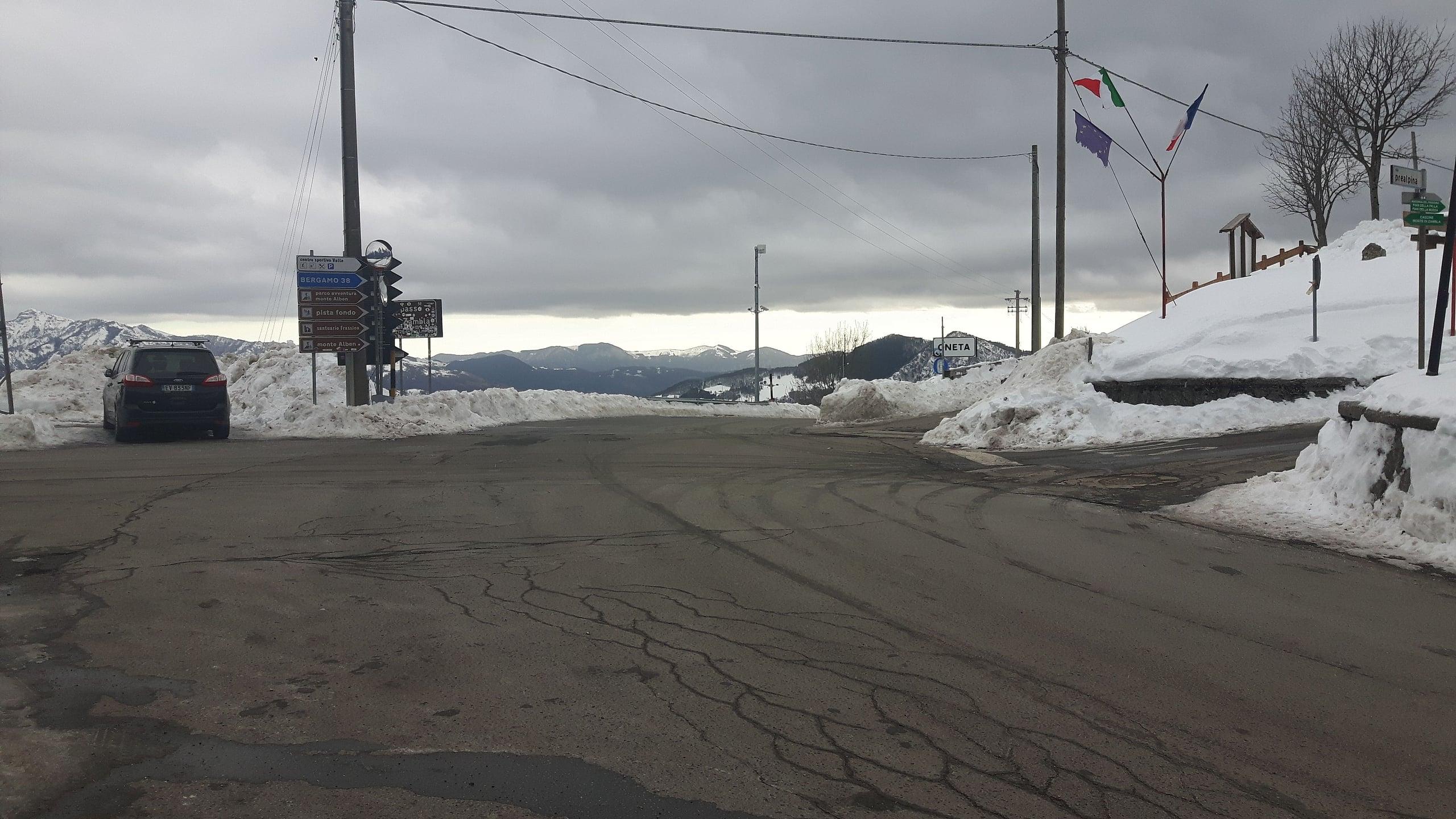
Photo: Lucifero4 · CC BY-SA 4.0
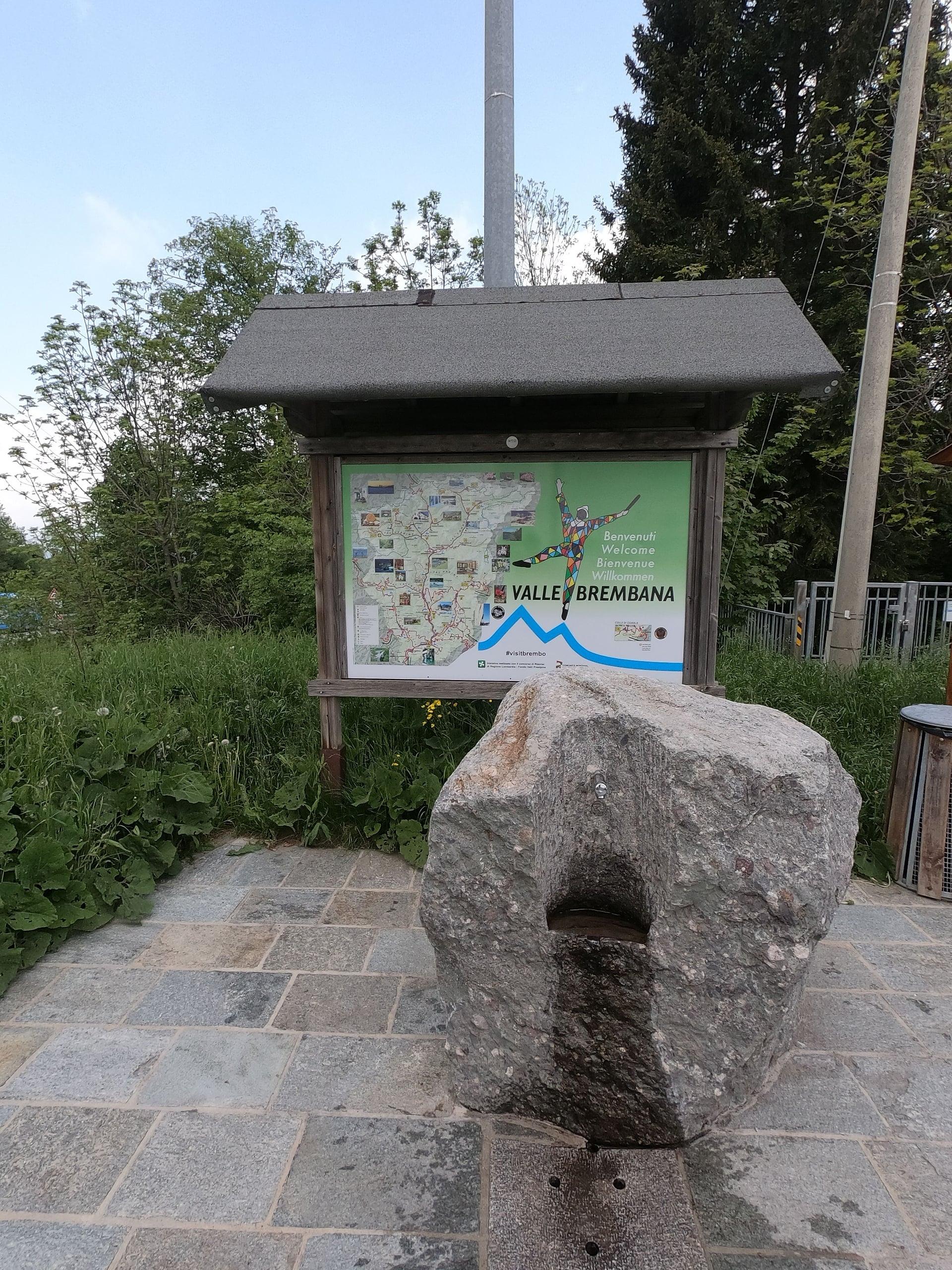
Photo: Amadvance · CC BY-SA 4.0
The name: is this the colle of Oltre il Colle?
It is natural to think so, but the explanations differ. Wikipedia writes that the name describes a village reached from either valley by crossing a pass. The municipality of Oltre il Colle tells another story: it was the people of Serina who gave this name to the lands they saw beyond the Forcella di Valpiana and the Col d'Anì, the natural boundary between Serina and Oltre il Colle. The local historian Massimo Maurizio, quoted by the Blog della Valserina, agrees: the reference is not to the Colle di Zambla but to the Col d'Anì.
A 2008 article in L'Eco di Bergamo offers a third reading, from the opposite side: those who came from the Seriana valley, drawn by the mines, found the municipal territory precisely beyond the watershed. In the oldest documents the village appears as Ultracollum, for example in the statutes of Bergamo of 1491. The Colle di Zambla does in any case give its name to the two hamlets at its foot, Zambla Alta and Zambla Bassa.
The climbs to the Colle di Zambla: from the Val del Riso and the Val Serina
On the Seriana side you start from Ponte Nossa, at 450 metres, and climb the whole Val del Riso on provincial road 46, through Gorno and the hamlets of Oneta: according to Wikipedia it is a 14.1-kilometre winding climb, with a maximum gradient of 10 per cent and no shade on the last stretch. On the Brembana side the road is provincial road 27 of the Val Serina: it starts at Ambria, a hamlet of Zogno, at 330 metres, runs through Algua, Serina and Valpiana, enters the upper Val Parina and passes Oltre il Colle and Zambla before the pass. It is a long climb, 23 kilometres, with false flats between the steeper sections, which never exceed 11 per cent.
The table below gives the CyclingCols figures, which measure 14.0 kilometres from Ponte Nossa and 23.2 from Ambria. In summer 2026 the Val Serina provincial road was closed from 28 August to 1 October after a large boulder fell at Rosolo di Algua, with traffic diverted onto the Costa Serina road: it reopened on the afternoon of 1 October.
The Colle di Zambla in the Giro d'Italia
The pass has been included twice in the Giro d'Italia, in the mid-1970s. In 1976 it was tackled by the twenty-first stage, on 11 June, from Terme di Comano to Bergamo: Gianbattista Baronchelli was first over the top and the stage was won by Felice Gimondi. The following year, on 9 June 1977, it was the turn of the nineteenth stage, from Pinzolo to San Pellegrino Terme: Renato Laghi crossed the pass first and also won at the finish.
For today's cyclists the Val del Riso side is the shorter and more regular, the Val Serina side the longer. CyclingCols gives 806 metres of height gain at an average 5.8 per cent for the eastern side, and 958 metres at an average 4 per cent for the western side.
Mule tracks, mines and buses: the history of the pass
Before the road there was a mule track linking the communities of the two valleys. According to research by the local historian Massimo Maurizio, reported by the Blog della Valserina, on the Seriana side it climbed steeply up the slopes of Oneta and was poorly suited to heavy loads, while links with Bergamo went through the easier Val Serina; the road that crosses the pass would only have been opened around the 1970s. In the Val del Riso, however, a carriage road already existed in 1884: the municipality of Gorno asked the English mining company Crown Spelter to pay for its upkeep, because it was being ruined by carts loaded with ore.
The pass was also a mining boundary. After 1922 Vieille Montagne divided the Bergamo concessions into a Seriana valley group, east of the line between the Crocetta and the Sinelle at the Colle di Zambla, and a Brembana valley group to the west; underground, the Riso-Parina tunnel linked the Val del Riso to the Val Parina. On the Val Serina side the connection with the city ran on wheels instead: on 25 November 1944, during the round-up that ended with the Cornalba massacre, fascist militiamen stopped the scheduled Zambla-Bergamo bus just before Rosolo.
What is at the pass: the chapel, the trails and skiing
Five minutes from the car park on the pass, following CAI trail 238 northwards, you come to the small church of the Madonna di Caravaggio, at 1,251 metres. The diocesan survey describes it as an eighteenth-century chapel lengthened by one bay in the nineteenth century, with on the altar a canvas of the apparition of Caravaggio commissioned in 1937 by the Benvenuti family, who owned a holiday home in Zambla Alta: a small sign of the summer holidays that were already bringing people up to the mountains.
Trail 238 continues to the Cascine Sinelli, the Baita di Monte di Zambla and the Baita Camplano, at 1,830 metres, which the CAI puts at 2 hours 15 minutes from the start, and reaches the Capanna 2000 in about three hours. Stages 6 and 7 of the CAI's Sentiero dei Laghi Basso, from Serina and towards Clusone, also pass through, and routes to Monte Alben and the Grem set off from here.
In winter the pass is a starting point for cross-country skiing, while downhill skiing in the basin is now history: a lift in the Conca dell'Alben had been idle since 1988 and in October 2012, L'Eco di Bergamo reported, the municipality had its last six pylons taken down, together with the three remaining from the Arera ski lift, which had worked until the 1990s.
In detail
The two climbs to the Colle di Zambla
| Side | Start | Length | Height gain | Average gradient | Maximum gradient |
|---|---|---|---|---|---|
| Val Seriana (east) | Ponte Nossa | 14.0 km | 806 m | 5.8% | 10.0% |
| Val Brembana (west) | Ambria, Zogno | 23.2 km | 958 m | 4.0% | 11.0% |
Data from CyclingCols, which gives the pass 1,258 metres; Wikipedia gives 14.1 km from Ponte Nossa and 23 km from the Ambria turn-off. CAI, Wikipedia and OpenStreetMap give the pass 1,264 metres.
The Colle di Zambla in the Giro d'Italia
| Year | Stage | First over the pass | Stage winner |
|---|---|---|---|
| 1976 | Stage 21, 11 June: Terme di Comano - Bergamo, 238 km | Gianbattista Baronchelli | Felice Gimondi |
| 1977 | Stage 19, 9 June: Pinzolo - San Pellegrino Terme, 205 km | Renato Laghi | Renato Laghi |
Sources: Wikipedia (entries on the Colle di Zambla and on the 1976 and 1977 Giro) and CyclingCols.
Practical tips
Before you set off
- On fine-weather weekends the road is busy with cyclists and motorcyclists: if you are driving, take care on the hairpins.
- By bike the Ponte Nossa side is shorter and more regular, the climb from Ambria long but with false flats to recover on.
- CAI trail 238 starts from the car park on the pass: five minutes to the small church of the Madonna di Caravaggio, about three hours to the Capanna 2000.
- In winter it is a pass at over 1,200 metres: travel with winter tyres or carry chains.
- Before driving up the Val Serina check the traffic news: in summer 2026 provincial road 27 was closed for a month by a landslide at Algua.
FAQ
Frequently asked questions: Colle di Zambla (1,264 m)
Where is the Colle di Zambla and how high is it?
It stands at 1,264 metres according to the CAI, Wikipedia and OpenStreetMap (the CyclingCols website measures 1,258) and separates the Val Serina and the Val Parina, on the Brembana side, from the Val del Riso, on the Seriana side. The pass itself is in the municipality of Oltre il Colle, less than a hundred metres from the Oneta boundary; Serina begins about one and a half kilometres away.
How long is the climb to the Colle di Zambla by bike?
From Ponte Nossa 14 kilometres, with 806 metres of climbing, an average gradient of 5.8 per cent and a maximum of 10; from Ambria, in the Brembana valley, 23.2 kilometres with 958 metres of climbing, an average of 4 per cent and a maximum of 11, according to CyclingCols.
Has the Colle di Zambla been part of the Giro d'Italia?
Yes, twice: on 11 June 1976, on the Terme di Comano-Bergamo stage, with Gianbattista Baronchelli first over the pass, and on 9 June 1977, on the Pinzolo-San Pellegrino Terme stage, with Renato Laghi first over the pass and stage winner.
Does the name Oltre il Colle come from the Colle di Zambla?
Probably not. The municipality explains that the name was coined in Serina for the lands beyond the Forcella di Valpiana and the Col d'Anì; other sources link it to the pass to be crossed from both valleys or to the watershed seen from the Seriana valley. The hamlets of Zambla Alta and Zambla Bassa take their name from the Colle di Zambla.
Where do you park at the Colle di Zambla?
There is a public car park on the pass, shown as free on OpenStreetMap; the CAI also mentions a small car park beside the road for those starting on trail 238.
Which trails start from the Colle di Zambla?
CAI 238 to Baita Camplano and the Capanna 2000, in about three hours, stages 6 and 7 of the Sentiero dei Laghi Basso, from Serina and towards Clusone, and the routes to Monte Alben and the Grem.
Is the Val Serina road to the Colle di Zambla open?
Yes: provincial road 27 of the Val Serina, closed from 28 August 2026 after a boulder fell at Rosolo di Algua, reopened on the afternoon of 1 October 2026. From the Seriana valley you drive up provincial road 46 of the Val del Riso instead.
Since when has there been a road over the Colle di Zambla?
For centuries the pass was crossed by a mule track. According to the local historian Massimo Maurizio the road over it was opened only around the 1970s, and in 1976 the Giro d'Italia already rode it; in the Val del Riso a road for the ore carts existed from 1884.
Sources
- Wikipedia, Colle di Zambla · it.wikipedia.org · accessed on 1 October 2026
- Wikidata, Colle di Zambla (Q3682816) · www.wikidata.org · accessed on 1 October 2026
- OpenStreetMap, Colle di Zambla (valico, quota 1264) · www.openstreetmap.org · accessed on 1 October 2026
- CyclingCols, Colle di Zambla · www.cyclingcols.com · accessed on 1 October 2026
- Wikipedia, Giro d'Italia 1976 · it.wikipedia.org · accessed on 1 October 2026
- Wikipedia, Giro d'Italia 1977 · it.wikipedia.org · accessed on 1 October 2026
- Wikipedia, Val del Riso · it.wikipedia.org · accessed on 1 October 2026
- CAI Bergamo, sentiero 238 · www.caibergamo.it · accessed on 1 October 2026
- CAI Bergamo, Sentiero dei Laghi Basso, tratta 6: scheda riassuntiva (indirizzi al passo) · www.caibergamo.it · accessed on 1 October 2026
- Comune di Oltre il Colle, Storia del Comune · www.comune.oltreilcolle.bg.it · accessed on 1 October 2026
- L'Eco di Bergamo (2008), ripreso da Valle Brembana News: «Oltre il Colle» (copia d'archivio) · web.archive.org · accessed on 1 October 2026
- Lombardia Beni Culturali, Comune di Oltre il Colle (soggetto produttore: «Ultracollum» nel 1491) · www.lombardiabeniculturali.it · accessed on 1 October 2026
- Il Blog della Valserina, «Quattro passi con la storia: le contrade di Zambla Bassa» (agosto 2014) · valserina.blogspot.com · accessed on 1 October 2026
- Lombardia Archivi, The English Crown Spelter Company Limited (profilo storico) · lombardiarchivi.servizirl.it · accessed on 1 October 2026
- Lombardia Archivi, Société des Mines et Fonderies de Zinc de la Vieille Montagne (profilo storico) · lombardiarchivi.servizirl.it · accessed on 1 October 2026
- Wikipedia, Cornalba (25 novembre 1944) · it.wikipedia.org · accessed on 1 October 2026
- BeWeB, Chiesa della Madonna di Caravaggio (Zambla Alta) · www.beweb.chiesacattolica.it · accessed on 1 October 2026
- L'Eco di Bergamo, «Monte Arera: addio allo sci. Si progetta seggiovia per l'estate» (9 ottobre 2012) · www.ecodibergamo.it · accessed on 1 October 2026
- Valbrembanaweb, «Val Serina, versante in sicurezza: dopo un mese riaperta la provinciale» (1 ottobre 2026) · valbrembanaweb.com · accessed on 1 October 2026
- OpenStreetMap, parcheggio del Colle di Zambla (mappa) · www.openstreetmap.org · accessed on 1 October 2026
- Regione Lombardia, Geoportale: limiti amministrativi comunali del Database Topografico (2023), servizio di consultazione · www.cartografia.servizirl.it · accessed on 1 October 2026
Page verified on
Nearby
More pages from around here
Hikes · 2 minutes
Sentiero dei Fiori “Claudio Brissoni”
Sentiero dei Fiori Claudio Brissoni: a CAI loop of about 3 hours from the Capanna 2000 to Passo Branchino, 1,821–2,078 m, on the flowering slopes of the Arera.
Summits · 2 minutes
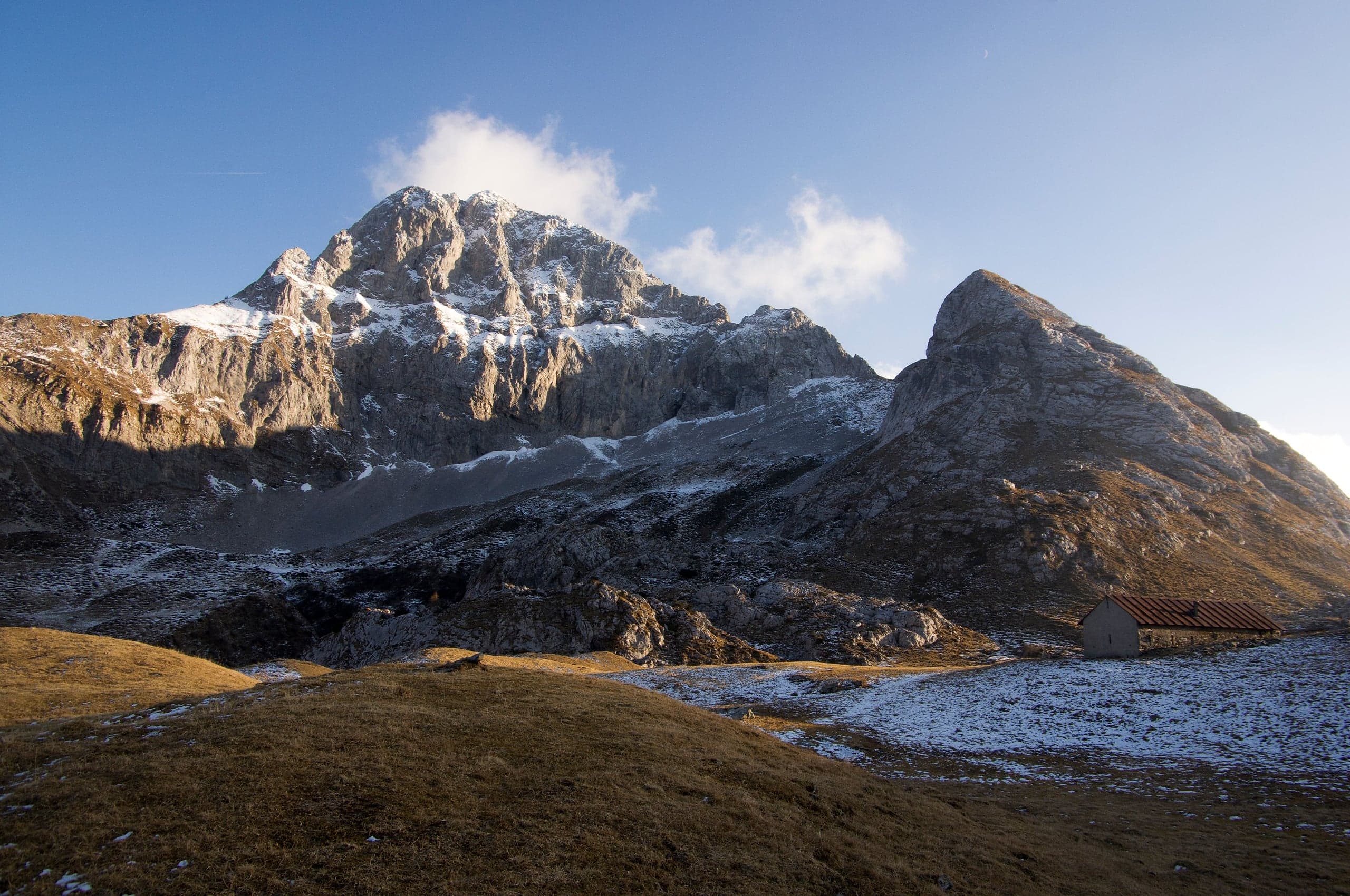
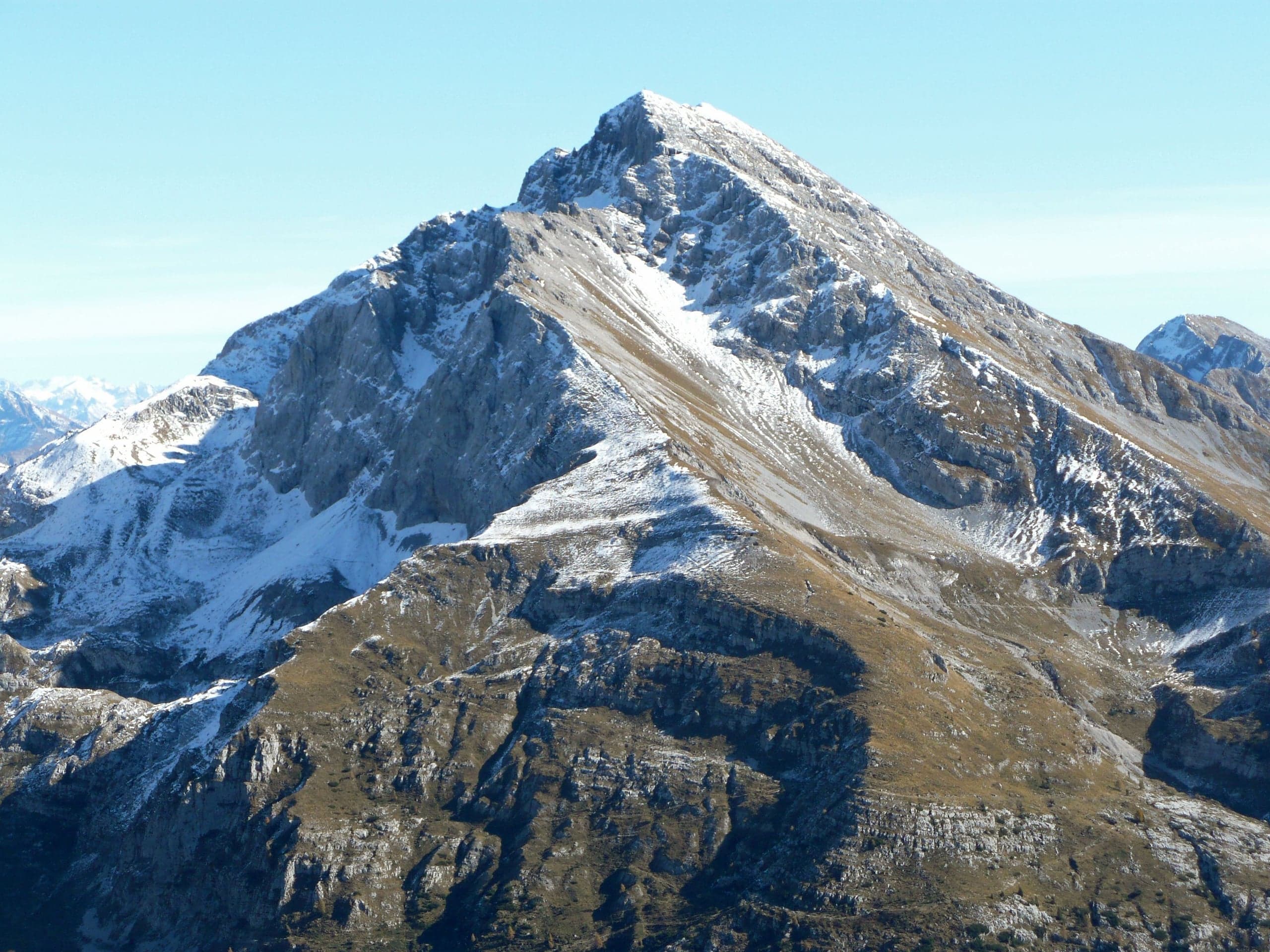
Pizzo Arera (2,512 m) by the south normal route
Pizzo Arera, 2,512 m, by the south normal route: from the Alpe Arera car park 922 m of ascent and about 2 h 30, with a protected gully just below the summit.
Summits · 2 minutes
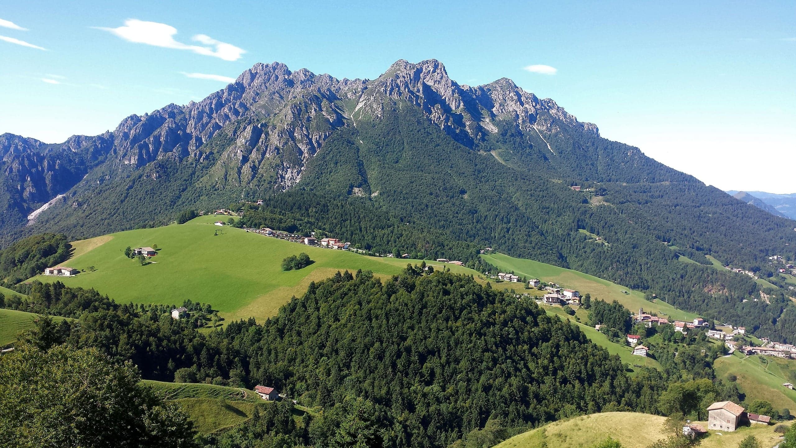
Monte Alben (2,019 m) from the Colle di Zambla
Monte Alben, 2,019 m, from the Colle di Zambla on CAI trail 501: 750 m and 2 h 15 via the Col dei Brassamonti, Passo della Forca and the final EE ridge.
Mountain huts · 2 minutes
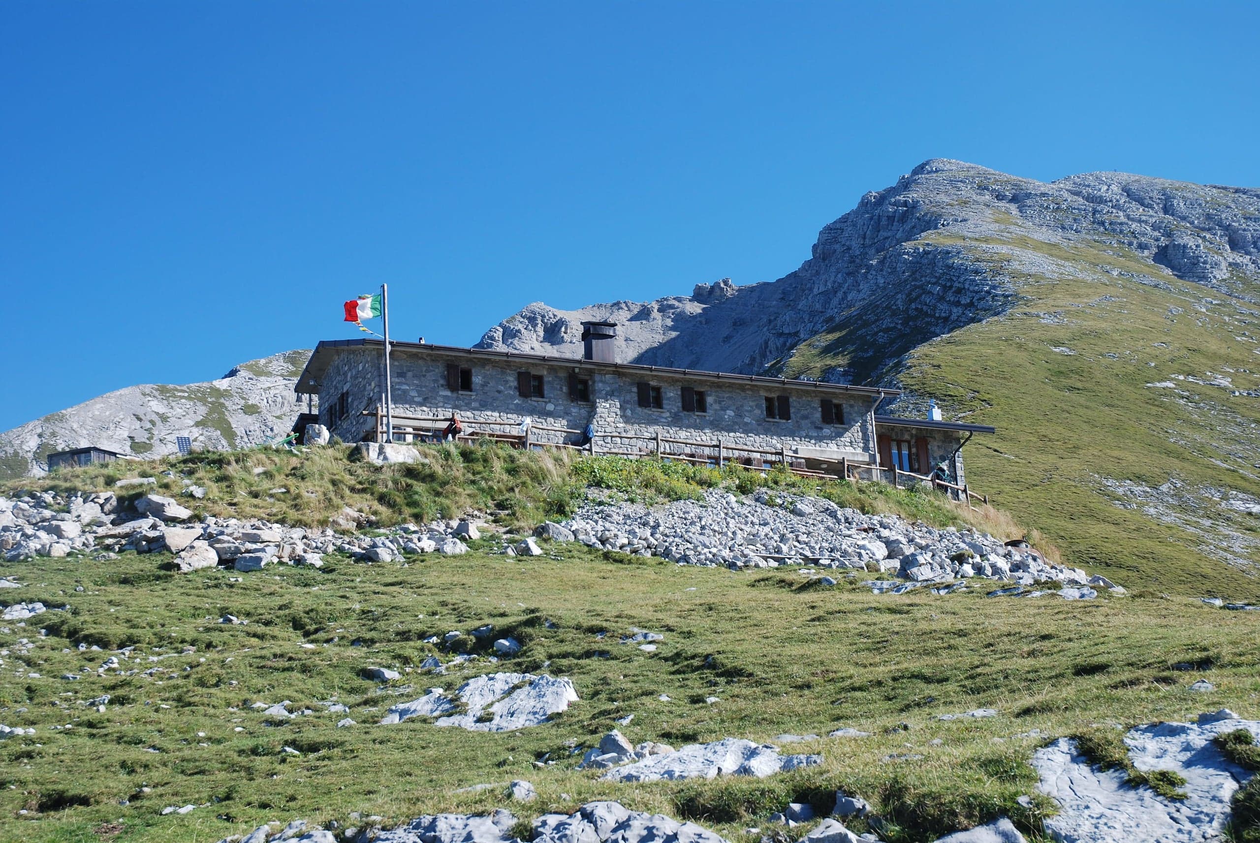
Capanna 2000 hut
Capanna 2000 hut, 1,960 m below the Pizzo Arera: owned by Oltre il Colle, 25 beds, an hour from the Alpe Arera car park. Opening periods, booking and contacts.