Summit · Zambla Alta · Oltre il Colle
Monte Alben (2,019 m) from the Colle di Zambla
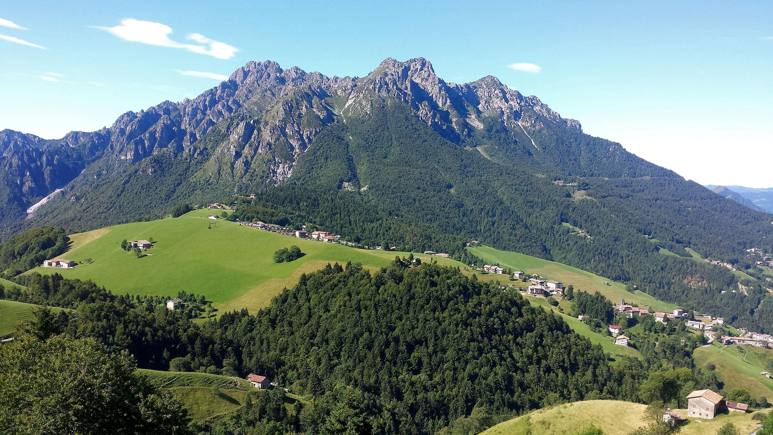
Monte Alben, 2,019 m, from the Colle di Zambla on CAI trail 501: 750 m and 2 h 15 via the Col dei Brassamonti, Passo della Forca and the final EE ridge.
Monte Alben is the limestone massif that closes the Oltre il Colle basin to the south: it rises between Val Serina, Val del Riso, Val Parina and Val Vertova, just south of the Colle di Zambla, on the ridge between the Brembana and Seriana valleys. Towards the north-east, that is towards Zambla, it shows spires, ridges and gullies; towards the south-west it descends in woods, pine forests and broad pastures. At the top there are several points linked by ridges: Cima La Croce, 1,975 metres, and Cima della Spada, 1,952, stand above Oltre il Colle, while the main summit, 2,019 metres, lies further south.
The shortest and most popular ascent is CAI trail 501 from the Colle di Zambla: 3.7 kilometres and about 750 metres of ascent, 2 h 15 up and 1 h 20 down according to CAI Bergamo, which grades it EE for the final ridge. You climb through the woods, then up a gully of hairpin bends to the Col dei Brassamonti, traverse below the Torrione Brassamonti to Passo della Forca and from there follow the north ridge over rocky steps to the cross.
The CAI calls the ridge «fun but not difficult if you follow the right line»: it is not protected, alternates short grade I steps with gravelly path and passes through a hole in the rock, under a large boulder. On the summit, besides the iron cross, there is a panorama table that names the peaks on the horizon.
The Alben is also the mountain of Primula albenensis, a Bergamo endemic that bears its name, and on its south side, above Cornalba, it has a renowned climbing crag with more than a hundred routes. Gulliver recommends climbing it in autumn, combining the summit with the circuit of the basin for the colours.
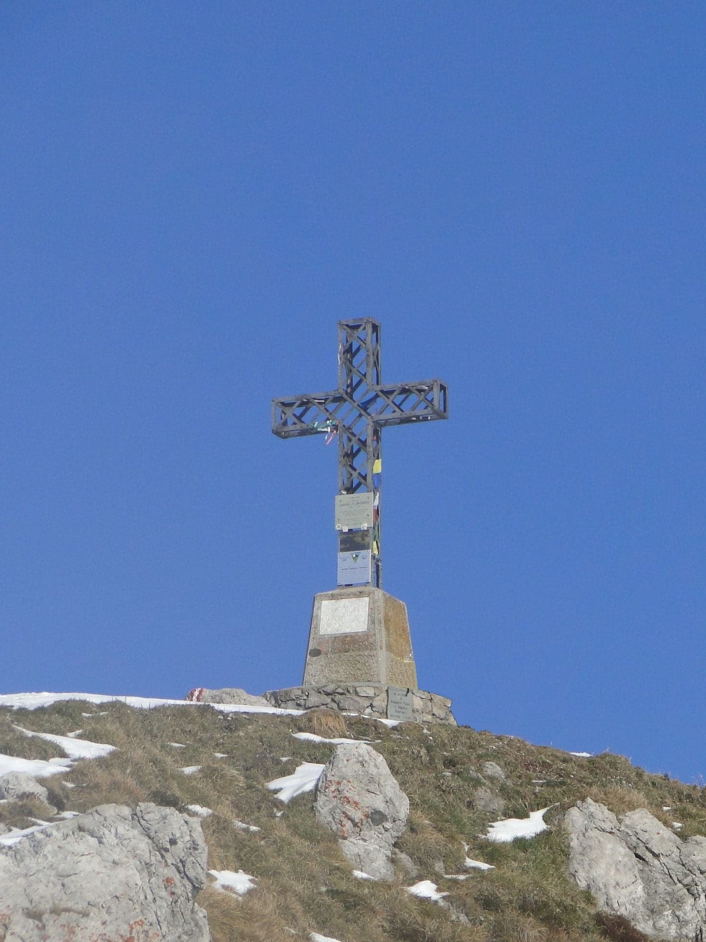
Photo: Ago76 · CC BY-SA 3.0
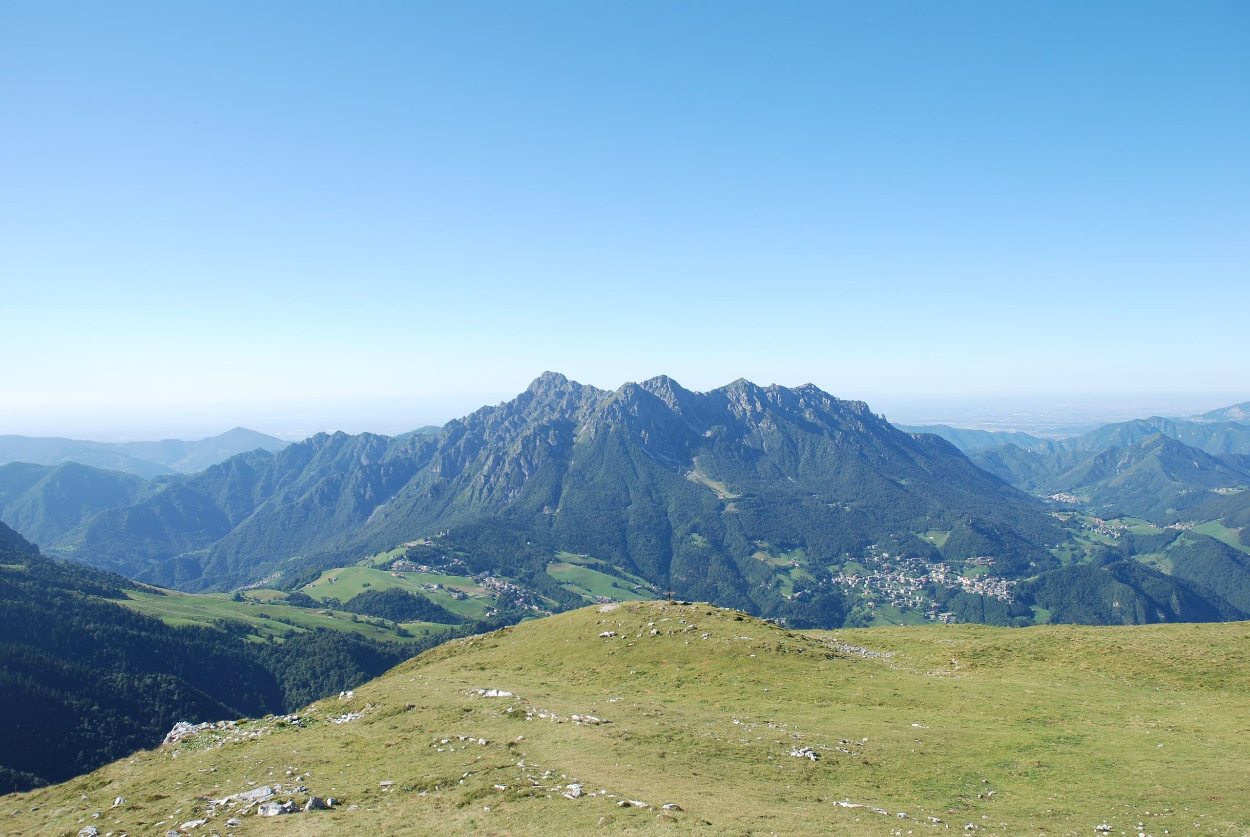
Photo: Bovero gerino · Public domain
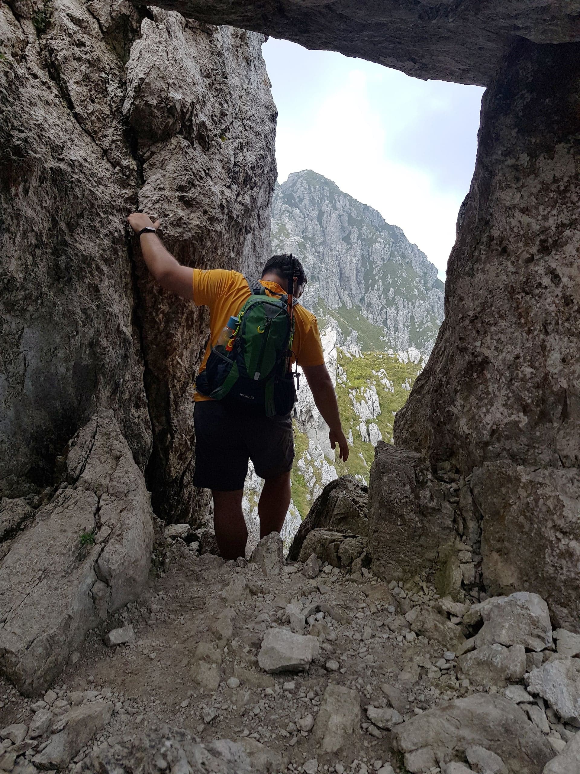
Photo: Mænsard vokser · CC BY-SA 4.0
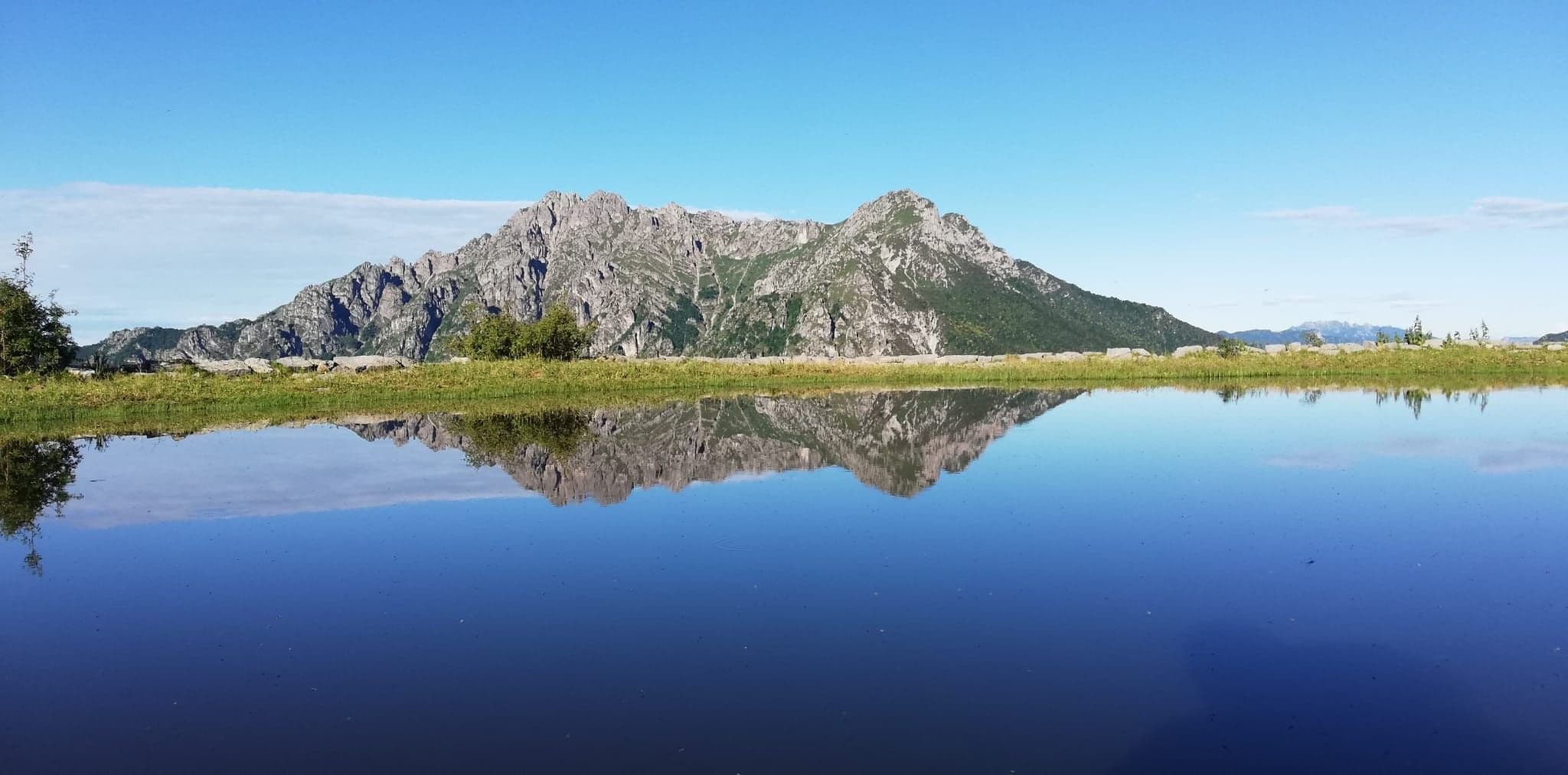
Photo: Ecomuseogorno · CC BY-SA 4.0
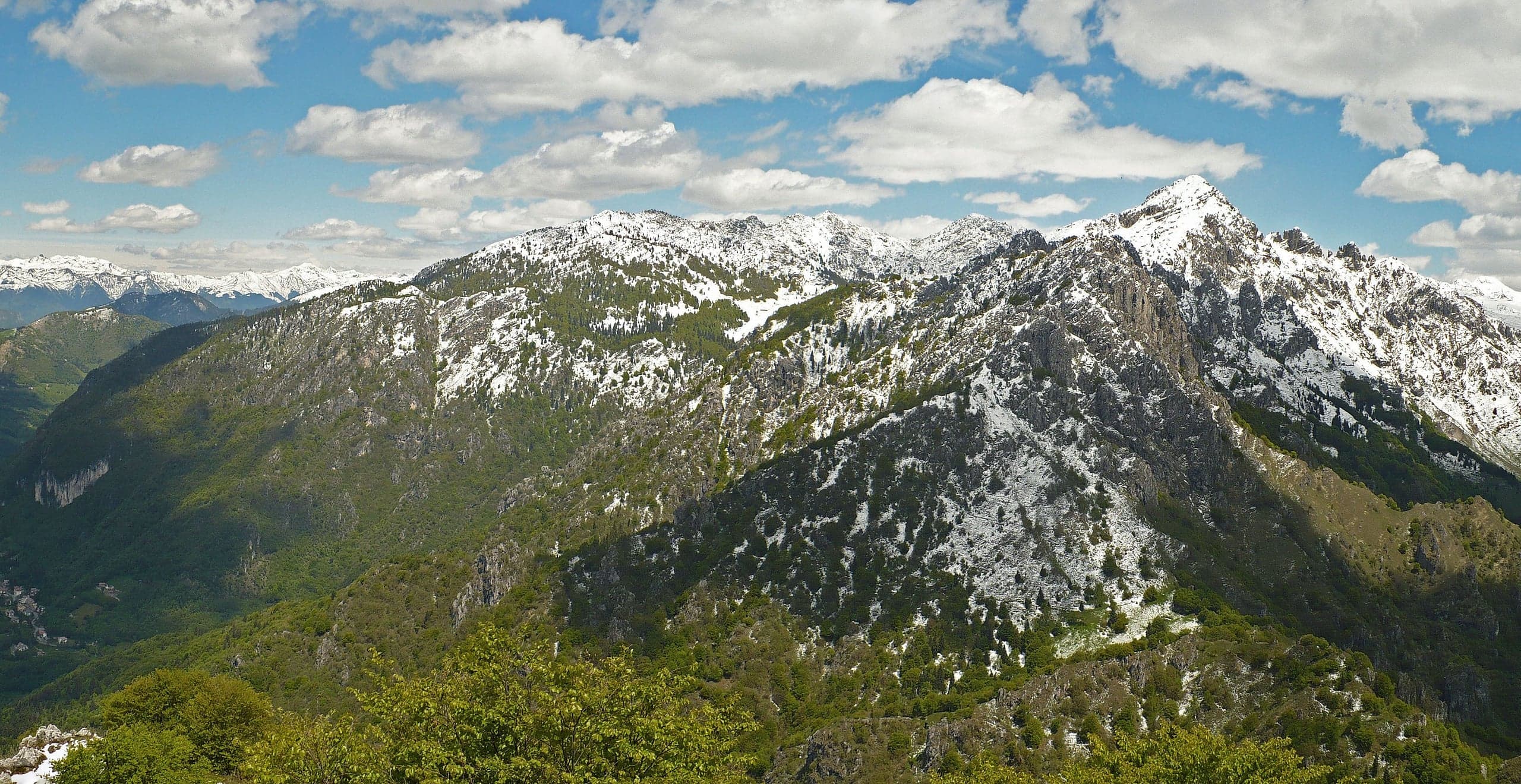
Photo: MatthewGhera · CC BY 3.0
The route step by step
From the Colle di Zambla car park you follow via Prealpina towards the Al Trapper bar and restaurant, with the cross-country track signs: a few metres of tarmac, then a forest road heading south that after about a kilometre reaches Passo della Crocetta, 1,267 metres. About 300 metres further on, at Calchera, a sign on the left marks the start of trail 501.
You leave the forest road and climb quickly through the woods; Luca Gherardi remembers a beech wood with centuries-old trees. After half an hour the view opens onto the ridges and the path enters a gully that it climbs in many hairpins to the Col dei Brassamonti, 1,755 metres, at the top of the gully. You continue across a steep spur to a junction: straight on leads shortly to the Baita Nembrini, while to the right the 501 passes below the Torrione Brassamonti and reaches Passo della Forca, 1,848 metres, the saddle between the main summit and Cima della Croce, where trail 502 also arrives from Serina.
From the pass you follow the ridge east. The route has been worked out among the rock formations: short grade I steps, stretches of gravel, a passage through a cavity under a large boulder and finally a small path zigzagging up to the cross. Luca Gherardi reports exposed, non-trivial moves, to be taken carefully, especially on the way down. The CAI allows 2 h 15 from the Colle, Gherardi about 2 hours, Gulliver and Wikipedia 2 h 30.
Getting to the Colle di Zambla and where to park
The Colle di Zambla, 1,264 metres, is the road pass between Val Serina and Val del Riso and can be reached from two sides. From the Brembana valley you drive up from Zogno through Val Serina via Serina and Oltre il Colle; from the Seriana valley you leave the main road at Ponte Nossa and climb through Val del Riso. Waterwind gives 50 minutes from Bergamo and 1 h 40 from Milan on the Seriana side, about twenty minutes more on the Brembana side.
At the pass there is a public car park along the road, next to the trail signposts; in winter the same area also serves the cross-country track. When the SP27 road of Val Serina is closed, as happened from 28 August to 1 October 2026 because of the landslide at Rosolo di Algua, traffic from the Brembana side goes via Costa Serina, or you come up from the Seriana valley.
Variants and alternative descents
From Serina, CAI trail 502 starts from via Pineta, climbs to Passo del Sapplì, follows trail 503 to the Casere Alte, passes a few minutes from the Rifugio Monte Alben and reaches Passo della Forca, where it joins the 501: 7.5 kilometres, about 1,320 metres of ascent, 2 h 30, EE, recommended from June to October. From the pass, for about 40 minutes, the CAI describes a route that is almost all rock, with some airy moves. From Cornalba, at 900 metres, Wikipedia describes an ascent of about 3 hours via the Pian delle Casere pasture.
Instead of returning the same way, Gulliver suggests descending from Passo della Forca on the opposite side on the 502, among pastures and ponds, and returning to the Colle di Zambla by going round part of the massif, through clearings, a wood and past a farmstead: allow at least 3 hours from the pass, and overall the day exceeds 1,000 metres of ascent because of the ups and downs.
On the north side the Maurizio via ferrata, listed by the municipality among its itineraries, climbs a wild face to the fore-summit and Cima della Croce. Ferrate365 grades it difficult: 400 metres of ferrata, about 2 hours from the start of the cable and 4 hours for the whole itinerary, starting from the car park of the Conca dell'Alben lifts. From Cima della Croce a ridge with grade I rocky steps leads to the main summit. Full via ferrata equipment is required.
Support points and water
There are no staffed huts along the 501. The Baita Nembrini, owned by the CAI Valserina sub-section, stands at the foot of the Torrione Brassamonti, a short way off the trail; according to the OpenStreetMap notes you need the keys to use it, to be requested from the sub-section or from the Centro Sportivo Valle at the Colle di Zambla. Near Passo della Forca there is the small Bivacco del Gioan, a shelter in bad weather. On the Serina side, along the 502, the Rifugio Monte Alben is run by the La Cordillera association.
As for water, no springs are recorded along the climb: OpenStreetMap shows a drinking fountain at the Colle di Zambla and a fountain just before Passo della Crocetta. Set off with all the water you need for the day.
What you can see from the summit
Wikipedia describes a panorama ranging from the nearby Arera, Menna and Grem to the main peaks of the Orobie, with Resegone, Grigne, Pizzo dei Tre Signori, Pizzo del Diavolo, Redorta, Coca and Presolana, as far as the more distant Monte Rosa, Disgrazia and Adamello groups. To the south, beyond the plain, on clear days you can make out the Tuscan-Emilian Apennines on the horizon. The panorama table on the summit, mentioned by the CAI, helps put names to the peaks.
Flora, crags and the mountain in winter
Primula albenensis, endemic to the Bergamo area and recognised as a species in 1993, takes its name from this very mountain: it flowers between April and June, between about 1,150 and 2,000 metres. On the south side, above Cornalba, the crag is a climbing venue with more than a hundred routes from grade 5 to 9a+, climbed by Adam Ondra among others.
In winter the basin at the foot of the north face keeps its snow until late spring and is the setting of the cross-country track and the snowshoe walks. The snow-covered summit ridge, on the other hand, is no longer a hiking route: with snow and ice it requires mountaineering experience.
When to go
The CAI gives no season for the 501, which faces north, while for the 502 from Serina it recommends June to October; the condition to respect is a dry ridge free of snow. Gulliver suggests autumn, when the summit can be combined with the circuit of the Alben basin for the variety of colours.
In detail
Times and elevations on trail 501
| Stage | Elevation | Time from the start | Notes |
|---|---|---|---|
| Colle di Zambla | 1,264 m | — | Follow via Prealpina with the cross-country track signs |
| Passo della Crocetta | 1,267 m | — | About 1 km of forest road (CAI) |
| Calchera, start of the path | — | — | About 300 m beyond the Crocetta, on the left |
| Col dei Brassamonti | 1,755 m | — | At the top of the gully of hairpins |
| Passo della Forca | 1,848 m | about 1 h 30 (Gherardi) | The 502 arrives from Serina; the EE ridge begins |
| Summit of Monte Alben | 2,019 m | 2 h 15 (CAI); about 2 h (Gherardi); 2 h 30 (Gulliver) | Iron cross and panorama table |
Elevations from CAI Bergamo and Wikipedia. Descent by the same route: 1 h 20 according to the CAI.
Practical tips
Before you set off
- Do not stop at Passo della Crocetta: the 501 leaves the forest road about 300 metres further on, on the left, at Calchera.
- On the final ridge stay on the marked line: the CAI calls it not difficult precisely on condition that you follow the right route.
- Fill your bottles at the pass: no springs are recorded along the path.
- Poles help on the descent of the gully of hairpins below the Col dei Brassamonti.
- For a longer outing, descending the Serina side on the 502 turns the walk into a loop round the massif.
- If you are not comfortable with the ridge, you can stop at Passo della Forca, at 1,848 metres, where the section for experienced hikers begins.
Grade EE. EE, Experienced hikers: rough terrain, exposed sections or short aided passages; requires a sure foot and no vertigo.
FAQ
Frequently asked questions: Monte Alben (2,019 m) from the Colle di Zambla
How long is the climb up Monte Alben from the Colle di Zambla?
According to CAI Bergamo 2 h 15 up and 1 h 20 down, for about 750 metres of ascent and 3.7 kilometres of trail 501. Luca Gherardi took about 2 hours and counts 9 kilometres there and back; Gulliver and Wikipedia give 2 h 30.
Is Monte Alben difficult?
The CAI grades trail 501 EE for the final ridge: from Passo della Forca you climb over rocky steps with short grade I moves, not protected, and a few exposed passages. Up to the pass the path runs through woods and up a gully of hairpins, without technical difficulty: if you are not comfortable you can stop there.
Where do you park to climb Monte Alben?
At the public car park on the Colle di Zambla, at 1,264 metres, on the pass between Oltre il Colle and Val del Riso. From there follow the cross-country track signs towards Passo della Crocetta.
Can you climb Monte Alben from Serina?
Yes, on CAI trail 502 from via Pineta: 7.5 kilometres, about 1,320 metres of ascent and 2 h 30 according to the CAI, grade EE, recommended from June to October. It passes Passo del Sapplì and the Casere Alte and joins the 501 at Passo della Forca.
Are there huts or bivouacs on Monte Alben?
Along the 501 there is the Baita Nembrini of the CAI Valserina sub-section, below the Torrione Brassamonti, which according to the OpenStreetMap notes is used with keys, and the small Bivacco del Gioan near Passo della Forca. On the Serina side there is the Rifugio Monte Alben, run by the La Cordillera association.
What can you see from the summit of Monte Alben?
Arera, Menna and Grem close by, then Resegone, Grigne, Pizzo dei Tre Signori, Pizzo del Diavolo, Redorta, Coca and Presolana; further away Monte Rosa, Disgrazia and Adamello. On clear days, to the south, you can see the Tuscan-Emilian Apennines. There is a panorama table on the summit.
Is there a via ferrata on Monte Alben?
Yes, the Maurizio via ferrata on the north side, towards the fore-summit and Cima della Croce. Ferrate365 grades it difficult, with 400 metres of ferrata, about 2 hours from the start of the cable and 4 hours of itinerary, starting from the car park of the Conca dell'Alben lifts.
What is Primula albenensis?
A primrose endemic to the Bergamo area, recognised as a species in 1993, which takes its name from Monte Alben. It flowers between April and June, between about 1,150 and 2,000 metres.
Sources
- CAI Bergamo, geoportale – sentiero 501 Passo Colle di Zambla / Monte Alben · www.caibergamo.it · accessed on 1 October 2026
- CAI Bergamo, geoportale – sentiero 502 Serina / Monte Alben · www.caibergamo.it · accessed on 1 October 2026
- Wikipedia – Monte Alben (descrizione, accessi, Primula albenensis, falesia di Cornalba) · it.wikipedia.org · accessed on 1 October 2026
- Wikidata – Monte Alben · www.wikidata.org · accessed on 1 October 2026
- OpenStreetMap – vetta del Monte Alben (nodo 26863780) · www.openstreetmap.org · accessed on 1 October 2026
- Luca Gherardi – Monte Alben dal Passo di Zambla (escursione di settembre 2020) · lucagherardi.com · accessed on 1 October 2026
- Gulliver – Alben (Monte) da Colle di Zambla (ultima revisione 15/04/2025) · www.gulliver.it · accessed on 1 October 2026
- CAI Bergamo, geoportale – Baita Nembrini · www.caibergamo.it · accessed on 1 October 2026
- Comune di Oltre il Colle – Ferrata Maurizio al Monte Alben (itinerari comunali) · www.comune.oltreilcolle.bg.it · accessed on 1 October 2026
- Ferrate365 – Ferrata Maurizio all'Alben (relazione aggiornata il 04/05/2026) · www.ferrate365.it · accessed on 1 October 2026
- Waterwind – Sci di fondo Zambla Alta: tempi di accesso da Bergamo e Milano · www.waterwind.it · accessed on 1 October 2026
- OpenStreetMap – Baita Carlo Nembrini, Bivacco del Gioan e fontane del Colle di Zambla (note e coordinate) · www.openstreetmap.org · accessed on 1 October 2026
- Valbrembanaweb – Val Serina, dopo un mese riaperta la provinciale (01/10/2026) · valbrembanaweb.com · accessed on 1 October 2026
Page verified on
Nearby
More pages from around here
Hikes · 2 minutes
Sentiero dei Fiori “Claudio Brissoni”
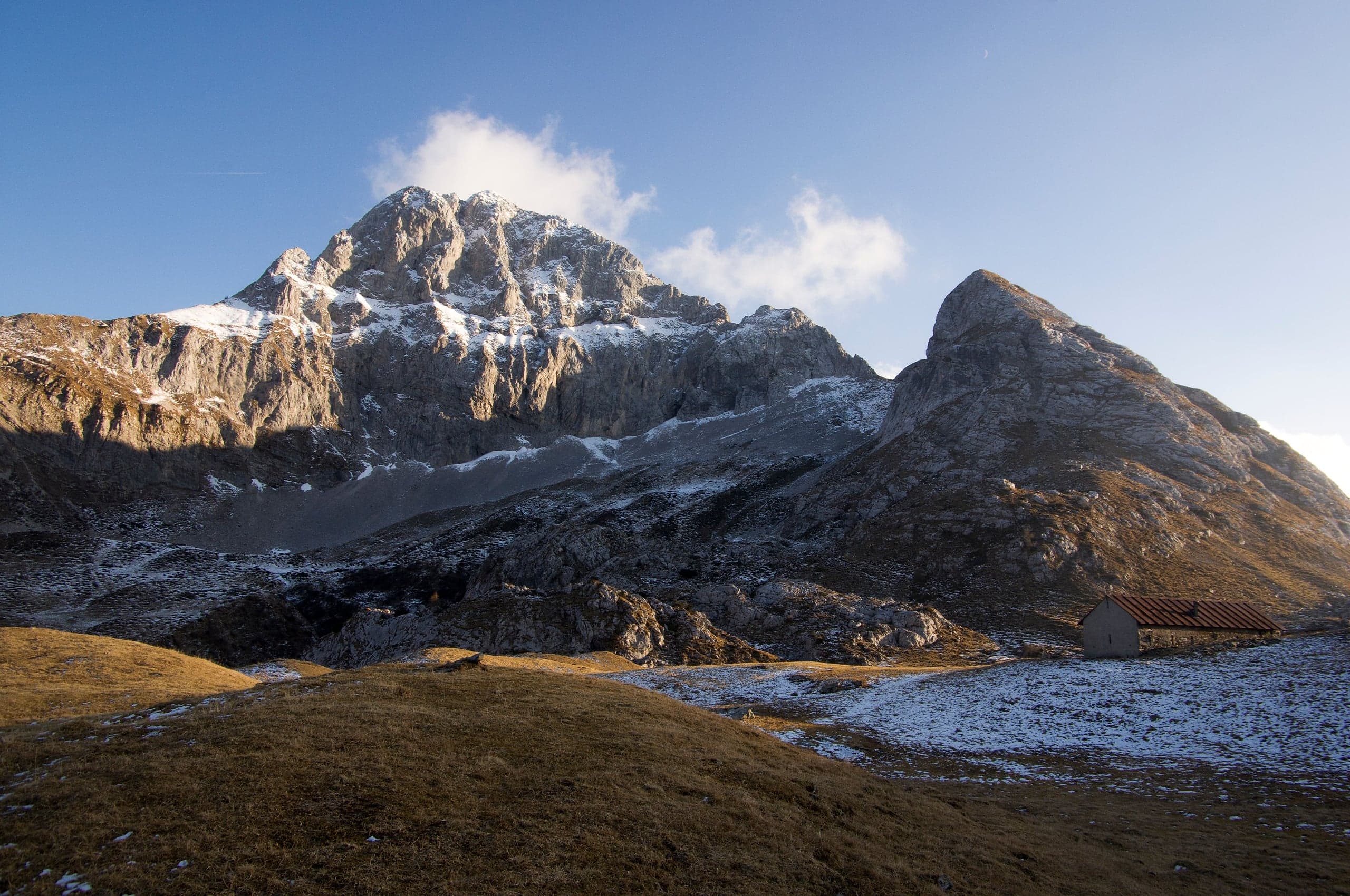
Sentiero dei Fiori Claudio Brissoni: a CAI loop of about 3 hours from the Capanna 2000 to Passo Branchino, 1,821–2,078 m, on the flowering slopes of the Arera.
Summits · 2 minutes
Pizzo Arera (2,512 m) by the south normal route
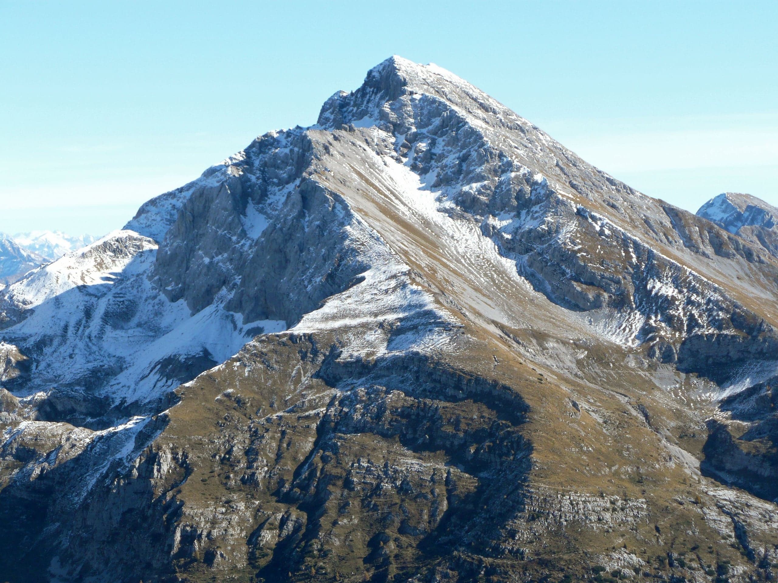
Pizzo Arera, 2,512 m, by the south normal route: from the Alpe Arera car park 922 m of ascent and about 2 h 30, with a protected gully just below the summit.
Mountain huts · 2 minutes
Capanna 2000 hut
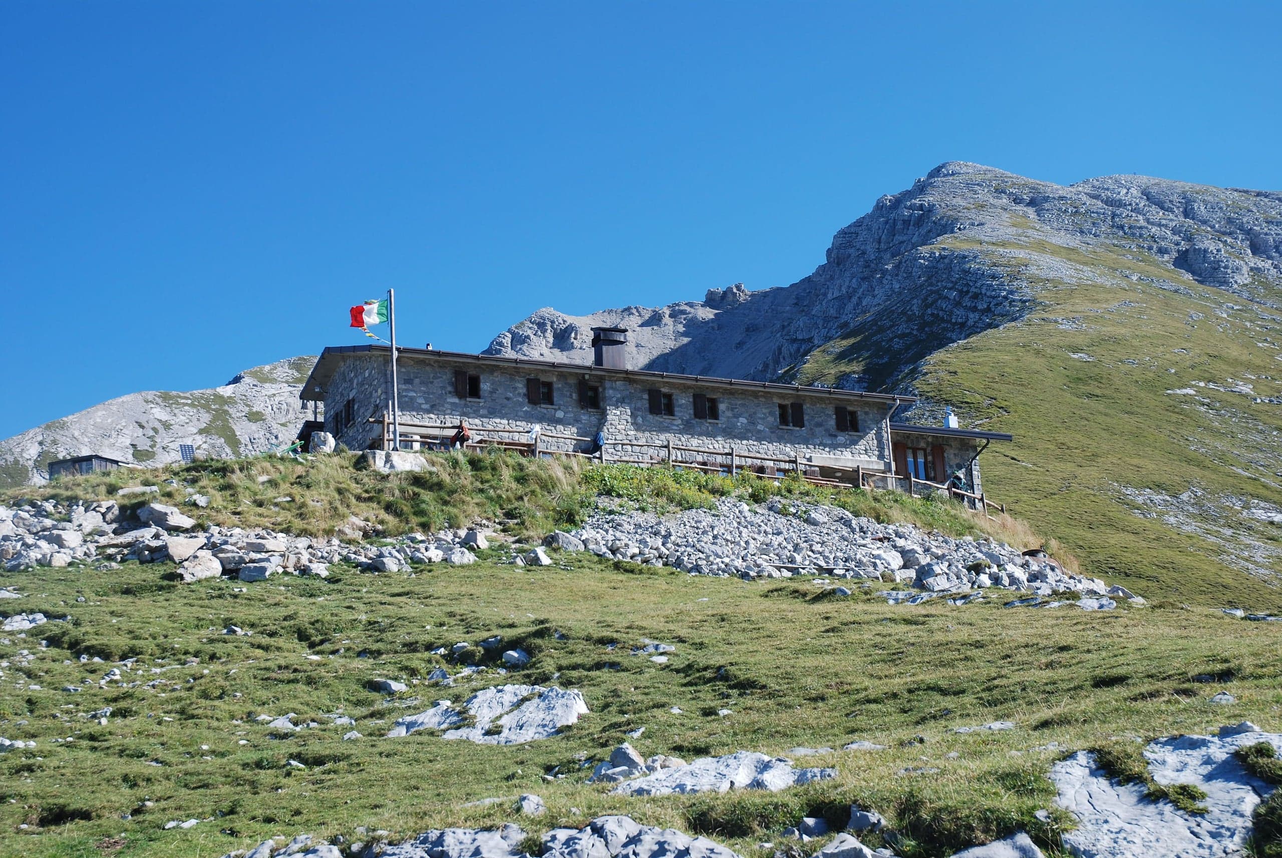
Capanna 2000 hut, 1,960 m below the Pizzo Arera: owned by Oltre il Colle, 25 beds, an hour from the Alpe Arera car park. Opening periods, booking and contacts.
Winter · 2 minutes
Cross-country skiing at the Colle di Zambla
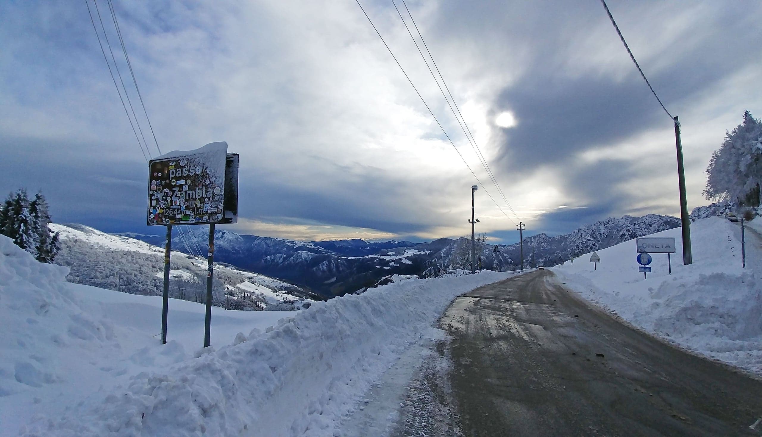
Cross-country skiing at the Colle di Zambla: 16 km of tracks below the north face of the Alben, 1,290–1,420 m, classic and skating, with a floodlit section.