Summit · Zambla Alta · Oltre il Colle
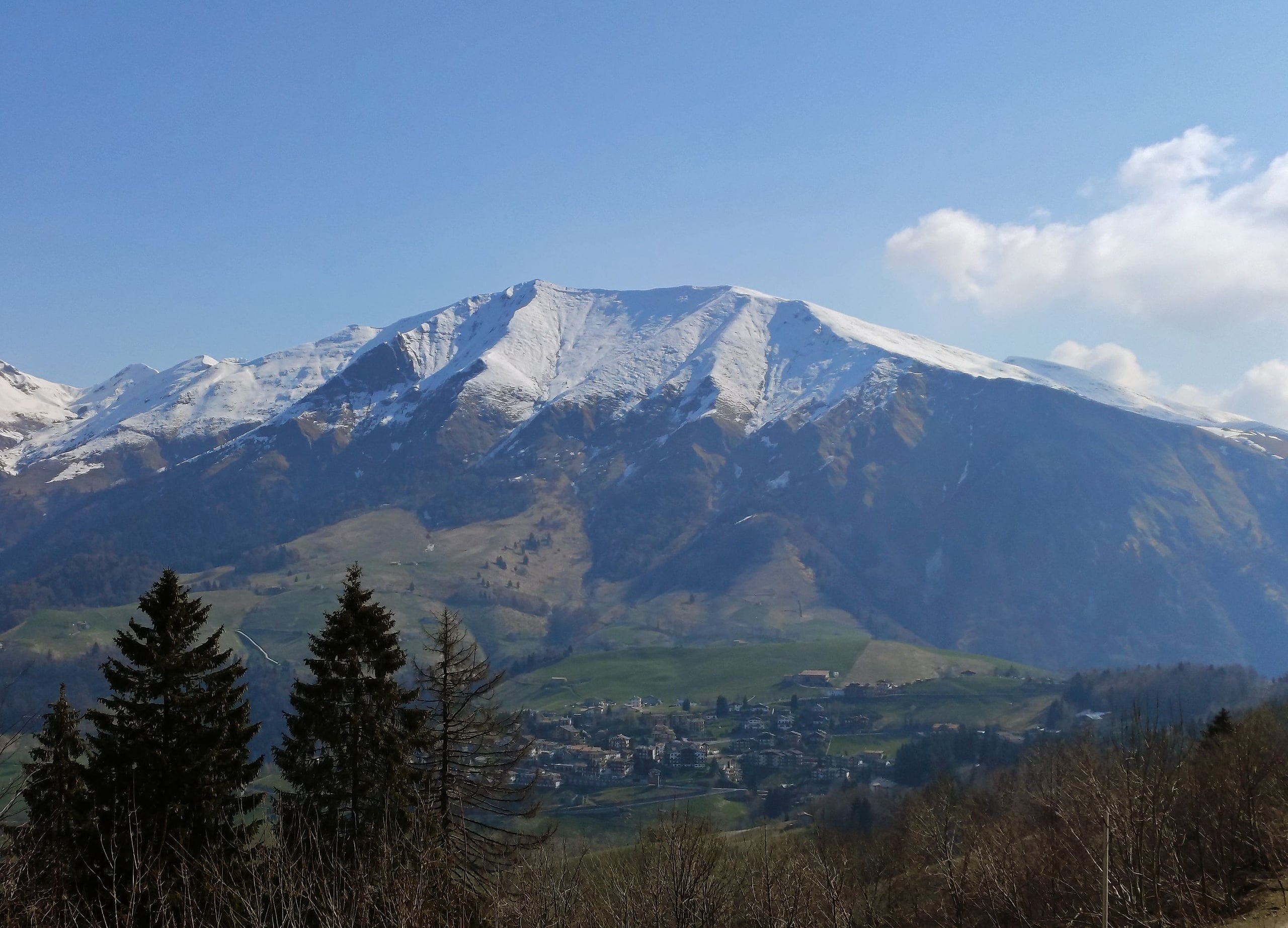
Cima di Grem (2,049 m) from the Colle di Zambla
Cima di Grem (2,049 m) from the Colle di Zambla on CAI trail 223: 800 metres of ascent through beech woods, pastures and old mines, past the Mistri bivouac.
The Cima di Grem is the grassy mountain that closes the Zambla basin to the north-east, on the ridge between the Val del Riso and the Val Serina; its slopes are shared between Oltre il Colle, Oneta, Premolo and Gorno (Wikipedia). From the Colle di Zambla the most direct route is CAI trail 223: about 6 kilometres and 800 metres of ascent, grade E, recommended from April to October. CAI Bergamo gives 2 hours 40 minutes up and 2 hours down, although the text of the same description puts the cross about 3 hours from the start.
The climb has easily recognised stages: the Santella chapel of the Madonna di Caravaggio, the Cascine Sinelli, a beech wood, the pastures of the Baita di Mezzo and the Baita Alta di Grem, the Mistri bivouac and finally the Bocchetta di Grem, the saddle between the Grem and the Cima Foppazzi, from which the cross is a quarter of an hour away.
The slope you climb was mining country for a long time: from the mid-nineteenth century to the 1970s sphalerite and calamine were extracted here, and the pastures still hold diggings, tunnel adits, spoil heaps and miners' shelters (L'Eco di Bergamo). The summit marks the western edge of the Val Nossana – Cima di Grem Special Area of Conservation, managed by the Orobie Bergamasche Park.
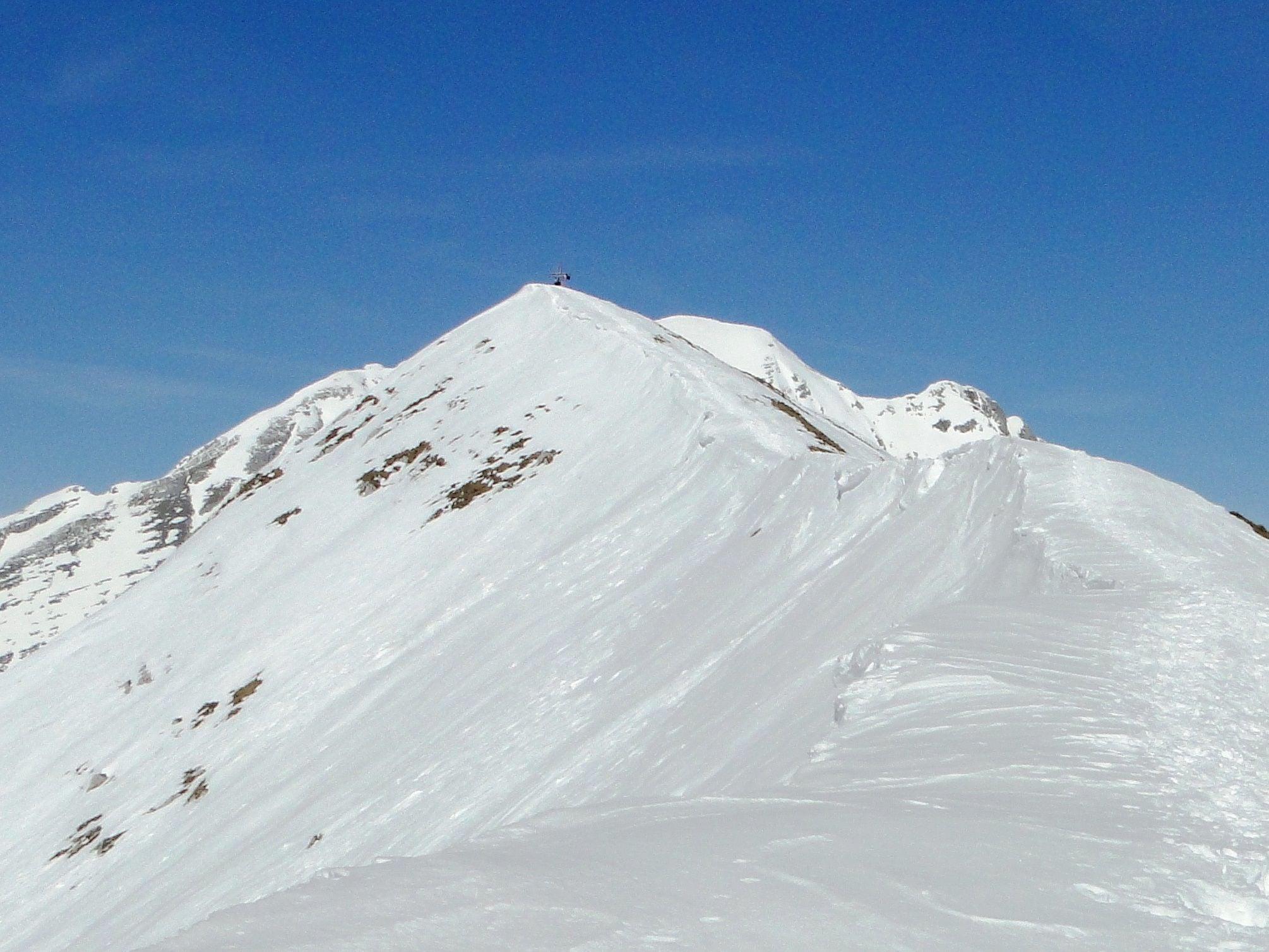
Photo: Ago76 · CC BY-SA 4.0
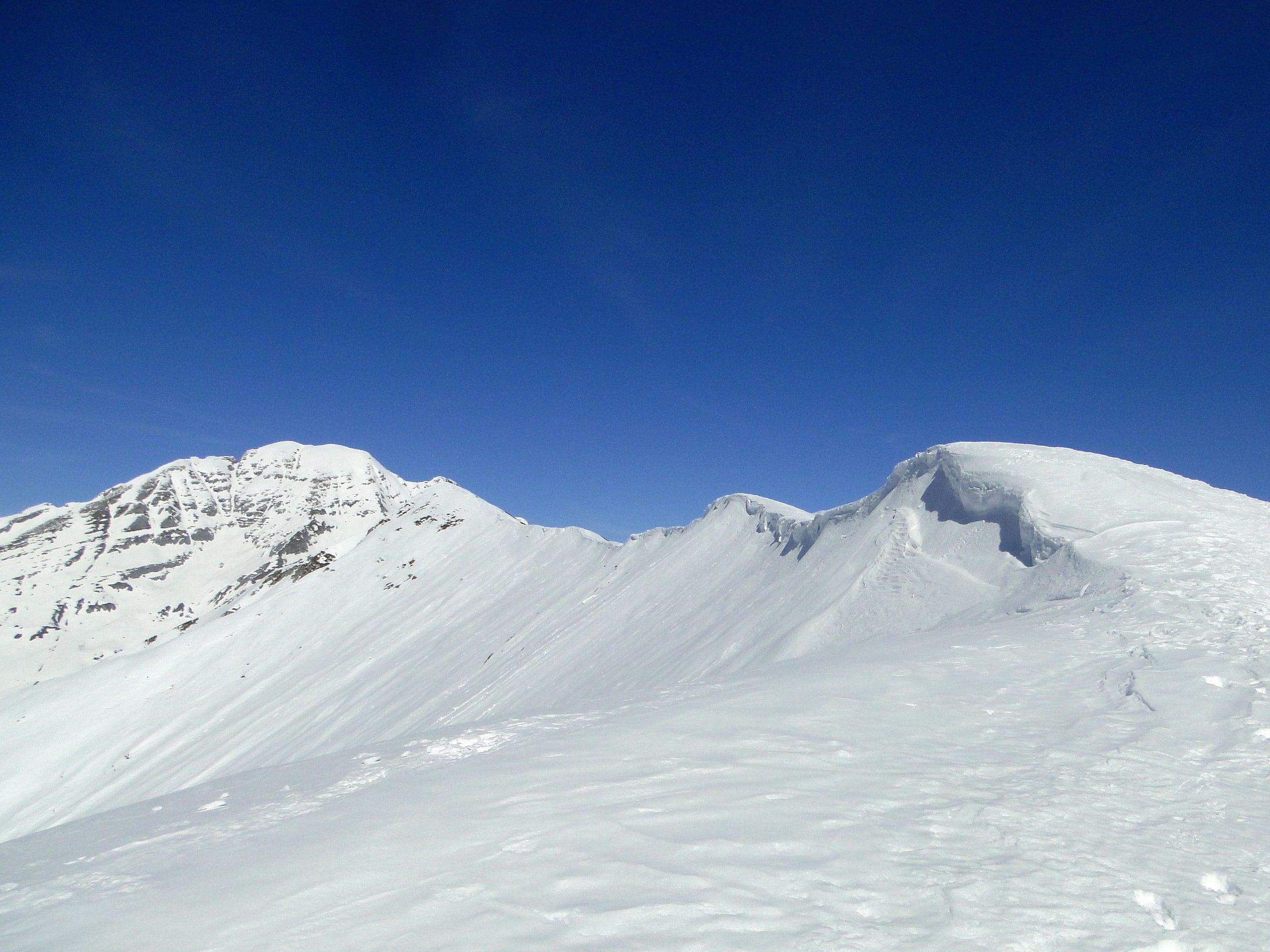
Photo: Ago76 · CC BY-SA 4.0
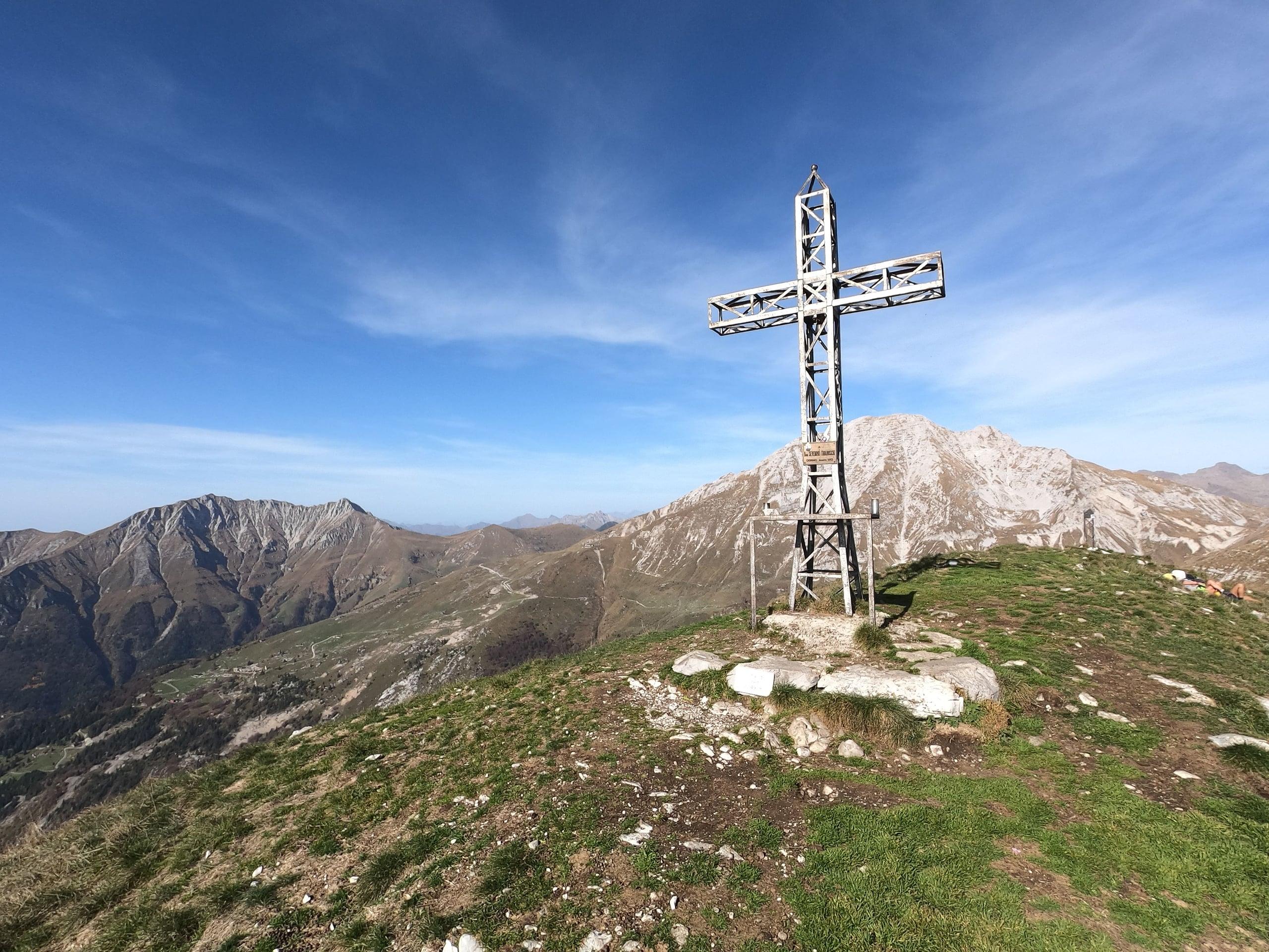
Photo: Amadvance · CC BY-SA 4.0
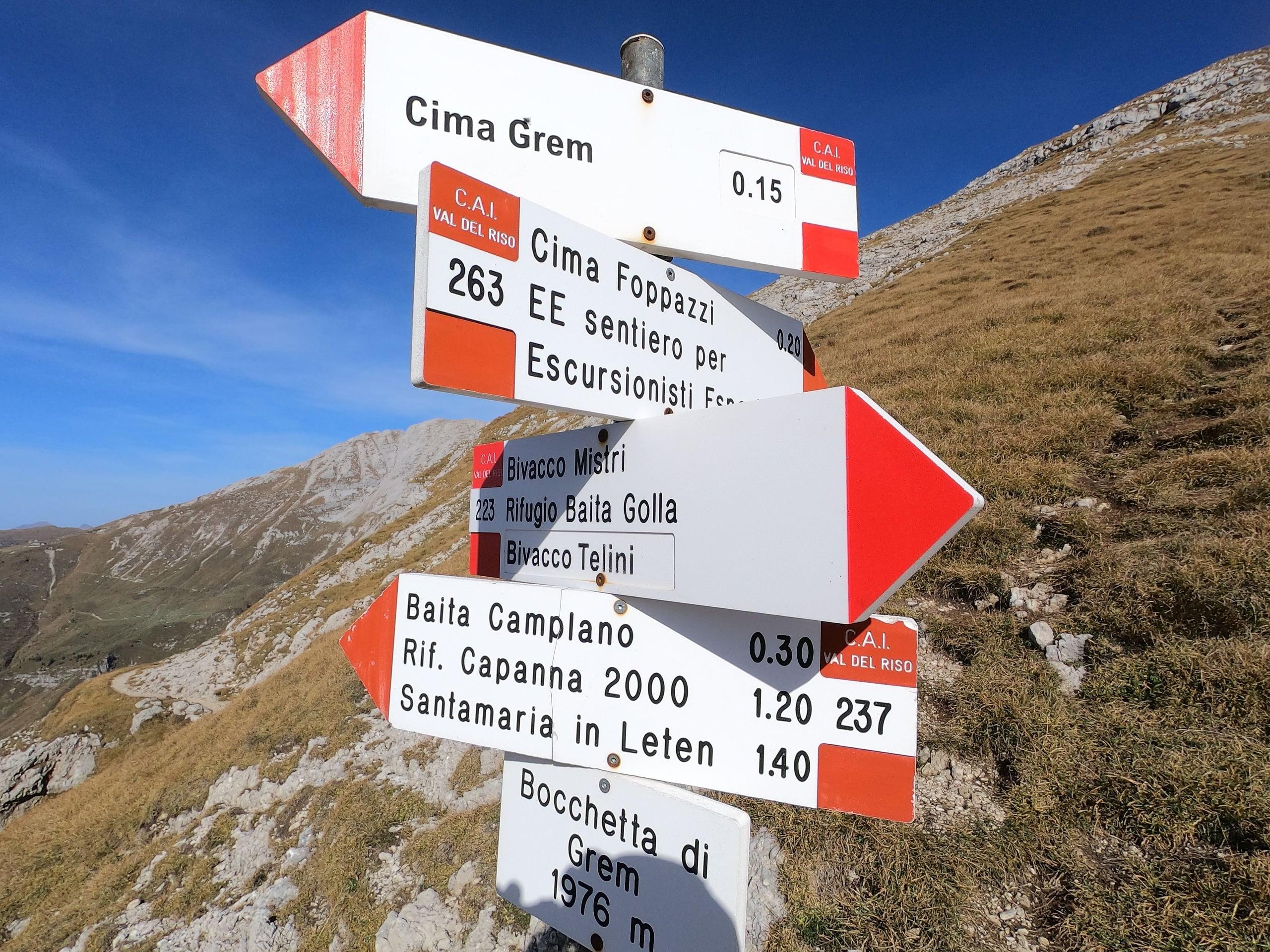
Photo: Amadvance · CC BY-SA 4.0
Trail 223 step by step
From the car park on the pass, follow the signposted lane north. At the first fork keep right and in five minutes you reach the Santella, the chapel of the Madonna di Caravaggio at 1,251 metres, where mass is said once a week in summer (L'Eco di Bergamo). Carry on to the right following the 223/238 waymark painted on a power-line pole, first on the level and then downhill, to the fork at the Cascine Sinelli (1,238 m).
Where the dirt track ends, two paths leave: the right-hand one goes to the Alpe Grem hut, trail 223 is the left-hand one. A little further on, trail 238 branches left towards the Baita Camplano, while 223 keeps right and climbs in wide zigzags through a beech wood until it comes out on the pastures of the Baita di Mezzo di Grem (1,457 m).
Along the hut's service track you reach the junction with trail 239, which climbs from Plazza di Oneta. Turn left across the meadows, pass a cattle pond and reach the Baita Alta di Grem (1,631 m). From here about half an hour leads to the Mistri bivouac; from the bivouac, on the stretch that 223 shares with 263, another half hour takes you to the Bocchetta di Grem (1,976 m) and a quarter of an hour's climb to the left to the cross. Come down the same way or by one of the variants below.
How to reach the Colle di Zambla and where to park
The Colle di Zambla is the only pass between the Brembana valley and Val Seriana crossed by an asphalt road (Wikipedia). From the Brembana valley you leave the main road at Ambria di Zogno and climb the SP27 through Val Serina via Serina and Oltre il Colle; from Val Seriana you turn off at Ponte Nossa onto the SP46 through the Val del Riso, via Gorno and Oneta. The SP27, closed from 28 August 2026 after a boulder fell at Rosolo di Algua, reopened on the afternoon of 1 October 2026 (Valbrembanaweb).
On the pass there is a free car park (Luca Gherardi, OpenStreetMap) with a fountain: fill your bottles there, because there is no water along the route (L'Eco di Bergamo). Without a car, the pass is served by Arriva bus line B, with runs to and from Passo Zambla.
If you prefer to start higher up, use trail 237 from Plassa: in summer you can park at around 1,600 metres on the toll road to the Alpe Arera, and reach the summit in 1 hour 50 minutes with 450 metres of ascent, passing the Baita Zuccone and the Baita Camplano (CAI Bergamo).
Variants: the south ridge, the Cima Foppazzi and the loop via the Baita Camplano
From the Baita Alta di Grem you can leave trail 223 and climb the south ridge. Camillo Fumagalli, writing in L'Eco di Bergamo, describes it as long and tiring: it tops out on a fore-summit at 2,001 metres and ends with a narrow but not steep stretch of crest. Luca Gherardi uses it for the descent: his loop, up via the Mistri bivouac and back along the grassy ridge, measures 11.5 kilometres with 850 metres of ascent.
From the Bocchetta di Grem the Cima Foppazzi is about twenty minutes away over easy grassy slopes, up to the stone cairn on top (CAI Bergamo). Its height depends on the source: 2,097 metres for the CAI, 2,093 for Wikipedia and for the regional map used by OpenStreetMap.
The fullest round drops north from the saddle on trail 237, below the Cima Foppazzi and the Cimetto, to the Baita Camplano (1,830 m), and returns to the pass on trail 238 across the meadows of Monte di Zambla. In-Lombardia, the Lombardy Region's tourism portal, gives the loop as 14.5 kilometres and 961 metres of ascent; the L'Eco di Bergamo account, which adds the Cima Foppazzi, speaks of 15 kilometres, 1,100 metres and five hours of walking.
The Grem mines: what remains along the trail
From the mid-nineteenth century to the 1970s many local people worked in the mines: the Grem, the Arera, the Val Vedra and the Val Parina were districts riddled with tunnels, producing sphalerite and calamine for zinc, lead and small amounts of silver (L'Eco di Bergamo). Between the Baita di Mezzo and the Baita Alta you still walk among diggings, adits, spoil heaps and old shelters.
Closing dates differ slightly between sources: L'Eco di Bergamo ends the story in 1982 with the last plant at Gorno, while the Ecomuseo Miniere di Gorno says mining went on until 1981. On the Val del Riso side, trail 239 from Oneta leads beyond the Baita Bassa di Grem to the disused calamine mines; up to the Baita Bassa it follows the Baita Alpe Grem ethno-naturalistic trail, with panels on the mine, the pond, the forest and the summer pasture made by the schools of Gorno and Oneta (CAI Bergamo).
The Mistri bivouac and the summit cross
The Mistri bivouac stands in the Valle dell'Orso, on the south side of the Grem in the municipality of Gorno; its height is given as between 1,780 and 1,800 metres depending on the source. It belongs to the municipality of Gorno and is run by the Gruppo Camós: ten beds, cold water, solar-panel electricity and a wood stove; it is staffed on Wednesdays and Sundays and the winter room is always open (valdelriso.it). A bivouac festival is held every last Sunday of July (CAI Bergamo).
The site has a long history: when mining in the Valle dell'Orso ended in 1908, a miners' hut was handed over to CAI Bergamo and turned into a small refuge, later destroyed during the First World War. On the ruins the Gruppo Camós built the bivouac dedicated to Giovanni Mistri, inaugurated on 30 August 1992 according to the Ecomuseo Miniere di Gorno; Wikipedia instead speaks of a rebuilding in the early 1980s.
The summit cross, made of metal and fitted with a bell (in-Lombardia), was carried up in pieces on people's shoulders and set up in 1962 in memory of don Severino Tiraboschi, parish priest of Gorno (CAI Bergamo, Ecomuseo Miniere di Gorno). From the top you see the Alben, the Arera and the Menna close by, Val Serina on one side and Val Seriana on the other and, on clear days, the plain (Luca Gherardi, L'Eco di Bergamo).
The protected nature of the Val Nossana – Cima di Grem SAC
The Cima di Grem is the western edge of Special Area of Conservation IT2060009, managed by the Orobie Bergamasche Park: 3,369 hectares between 578 and 2,512 metres, from the slopes of the Pizzo Arera to the Cime di Belloro, in the municipalities of Ardesio, Gorno, Oltre il Colle, Oneta, Parre and Premolo (Province of Bergamo). The provincial description lists golden eagle, black kite, honey buzzard and peregrine falcon among the breeding birds; there are also black grouse, hazel grouse, rock partridge, eagle owl and Tengmalm's owl, and the red-backed shrike in the Golla-Grem mining area.
Even the cattle ponds you pass on the way up matter: according to the same description, keeping them in good order helps the yellow-bellied toad and the Italian crested newt, two amphibians protected by the Habitats Directive; on nearby Monte Golla the newt has been found at 1,675 metres, the highest altitude known in the Alps.
When to go and what to bring
The CAI recommends April to October, with boots and high-mountain clothing. From the Baita di Mezzo upwards you walk outside the woods: on hot days start early.
At the Mistri bivouac the valdelriso.it portal lists cold water among the facilities, but OpenStreetMap marks the spring next to it as not drinkable: for drinking, count only on what you carry from the pass.
In detail
Waypoints on trail 223
| Point | Altitude | Time given by the CAI |
|---|---|---|
| Colle di Zambla, car park | 1,264 m | Start |
| Santella of the Madonna di Caravaggio | 1,251 m | 5 min |
| Cascine Sinelli | 1,238 m | — |
| Baita di Mezzo di Grem | 1,457 m | — |
| Baita Alta di Grem | 1,631 m | — |
| Mistri bivouac | 1,780 m | About 30 min from the Baita Alta |
| Bocchetta di Grem | 1,976 m | About 30 min from the bivouac |
| Cima di Grem | 2,049 m | About 15 min from the saddle: 2 h 40 from the start in the data sheet, 3 h in the text |
| Cima Foppazzi (optional) | 2,097 m | About 20 min from the saddle |
Altitudes and times from the trail 223 page of the CAI Bergamo geoportal. Wikipedia and the regional map give the Cima Foppazzi as 2,093 m.
Other trails to the summit
| Trail | Start | Ascent | Out / back |
|---|---|---|---|
| CAI 237 | Plassa, summer car park (about 1,600 m) | 450 m | 1 h 50 / 1 h 20 |
| CAI 238, then 237 | Colle di Zambla, via the Baita Camplano | 600 m to the Baita Camplano | 2 h 10 / 1 h 30 for trail 238 alone |
| CAI 239, then 223 | Plazza di Oneta (923 m) | 550 m to the Baita di Mezzo | 1 h 40 / 1 h 10 for trail 239 alone |
| CAI 263 | Alpe Grina, Gorno (1,115 m), via the Telini bivouac | 950 m | 3 h / 1 h 45 |
Data from the trail pages of the CAI Bergamo geoportal.
Practical tips
Before you set off
- Fill your bottles at the fountain on the Colle di Zambla: there are no springs along trail 223.
- Do not enter the adits of the old tunnels: look at them from outside.
- The winter room of the Mistri bivouac is always open: keep it in mind as a shelter if the weather turns.
- The south ridge is more exposed and tiring than trail 223: anyone uneasy with drops should stay on the waymarked path.
Grade E. E, Hiker: marked paths or tracks over varied terrain; requires fitness and proper footwear.
FAQ
Frequently asked questions: Cima di Grem (2,049 m) from the Colle di Zambla
How long does it take to climb the Cima di Grem from the Colle di Zambla?
CAI Bergamo gives 2 hours 40 minutes up and 2 hours down on trail 223, for about 6 kilometres and 800 metres of ascent; the text of the same description puts the cross about 3 hours from the start. Luca Gherardi took about two and a half hours. The grade is E.
Is trail 223 to the Grem difficult?
It is graded E, a hiking trail: path and tracks across pastures, with no protected sections. The CAI recommends boots and high-mountain clothing. The south-ridge variant is more exposed and tiring, while the climb from the saddle to the Cima Foppazzi is on easy grassy slopes.
Where do you park to climb the Cima di Grem?
At the Colle di Zambla, in the free car park on the pass next to the fountain. Alternatively, in summer, you can leave the car at around 1,600 metres on the toll road to the Alpe Arera, above Plassa, and climb on trail 237: 450 metres of ascent and 1 hour 50 minutes.
Is there water on the way up the Grem?
Don't count on it: according to the L'Eco di Bergamo account there are no springs along the route, and the spring beside the Mistri bivouac is marked as not drinkable on OpenStreetMap. Fill your bottles at the fountain on the Colle di Zambla.
Can you do a loop on the Grem starting from Zambla?
Yes. The classic one goes up trail 223 and comes back via the Baita Camplano on trails 237 and 238: 14.5 kilometres and 961 metres according to in-Lombardia, 15 kilometres, 1,100 metres and five hours with the Cima Foppazzi according to L'Eco di Bergamo. Shorter is Luca Gherardi's loop with a descent along the grassy ridge: 11.5 kilometres and 850 metres.
Is the Mistri bivouac open?
The winter room is always open; the bivouac itself is staffed on Wednesdays and Sundays, has ten beds and is run by the Gruppo Camós for its owner, the municipality of Gorno (valdelriso.it). Every last Sunday of July it hosts the bivouac festival.
What is left of the mines on the Grem?
Diggings, tunnel adits, spoil heaps and old shelters, mostly between the Baita di Mezzo and the Baita Alta. Sphalerite and calamine were mined here for zinc, lead and a little silver from the mid-nineteenth century to the 1970s; the last activity at Gorno stopped in 1981 or 1982 depending on the source.
How high is the Cima Foppazzi and how far is it from the Cima di Grem?
From the Bocchetta di Grem (1,976 m) it is about 20 minutes over grassy slopes to the stone cairn. The CAI gives it as 2,097 metres, Wikipedia and the regional map used by OpenStreetMap as 2,093.
Sources
- CAI Bergamo, geoportale – sentiero 223 Col di Zambla / Cima di Grem · www.caibergamo.it · accessed on 1 October 2026
- CAI Bergamo, geoportale – sentiero 237 Rifugio SABA / Cima di Grem · www.caibergamo.it · accessed on 1 October 2026
- CAI Bergamo, geoportale – sentiero 238 Colle di Zambla / Baita Camplano · www.caibergamo.it · accessed on 1 October 2026
- CAI Bergamo, geoportale – sentiero 239 Oneta / Baita di Mezzo di Grem · www.caibergamo.it · accessed on 1 October 2026
- CAI Bergamo, geoportale – sentiero 263 Alpe Grina / Cima di Grem · www.caibergamo.it · accessed on 1 October 2026
- L'Eco di Bergamo, Eppen – Camillo Fumagalli, «Sul monte Grem dal passo di Zambla» (11 novembre 2023) · www.ecodibergamo.it · accessed on 1 October 2026
- in-Lombardia – Giro ad anello della cima di Grem · www.in-lombardia.it · accessed on 1 October 2026
- Luca Gherardi – Cima di Grem dal Passo di Zambla · lucagherardi.com · accessed on 1 October 2026
- valdelriso.it – Rifugi e bivacchi (bivacco Mistri) · www.valdelriso.it · accessed on 1 October 2026
- Ecomuseo Miniere di Gorno – Contrade, baite e bivacchi · www.ecomuseominieredigorno.it · accessed on 1 October 2026
- Ecomuseo Miniere di Gorno – Miniere e minatori · www.ecomuseominieredigorno.it · accessed on 1 October 2026
- Provincia di Bergamo – ZSC Val Nossana – Cima di Grem (IT2060009) · www.provincia.bergamo.it · accessed on 1 October 2026
- Wikipedia – Monte Grem · it.wikipedia.org · accessed on 1 October 2026
- Wikipedia – Cima Foppazzi · it.wikipedia.org · accessed on 1 October 2026
- Wikipedia – Colle di Zambla · it.wikipedia.org · accessed on 1 October 2026
- Valbrembanaweb – riaperta la SP27 della Val Serina (1° ottobre 2026) · valbrembanaweb.com · accessed on 1 October 2026
- Arriva Italia Bergamo – avviso sulla linea B Passo Zambla · bergamo.arriva.it · accessed on 1 October 2026
- OpenStreetMap – Cima di Grem (quota 2.049 m, croce di vetta) · www.openstreetmap.org · accessed on 1 October 2026
- OpenStreetMap – parcheggio del Colle di Zambla · www.openstreetmap.org · accessed on 1 October 2026
Page verified on
Nearby
More pages from around here
Hikes · 2 minutes
Sentiero dei Fiori “Claudio Brissoni”
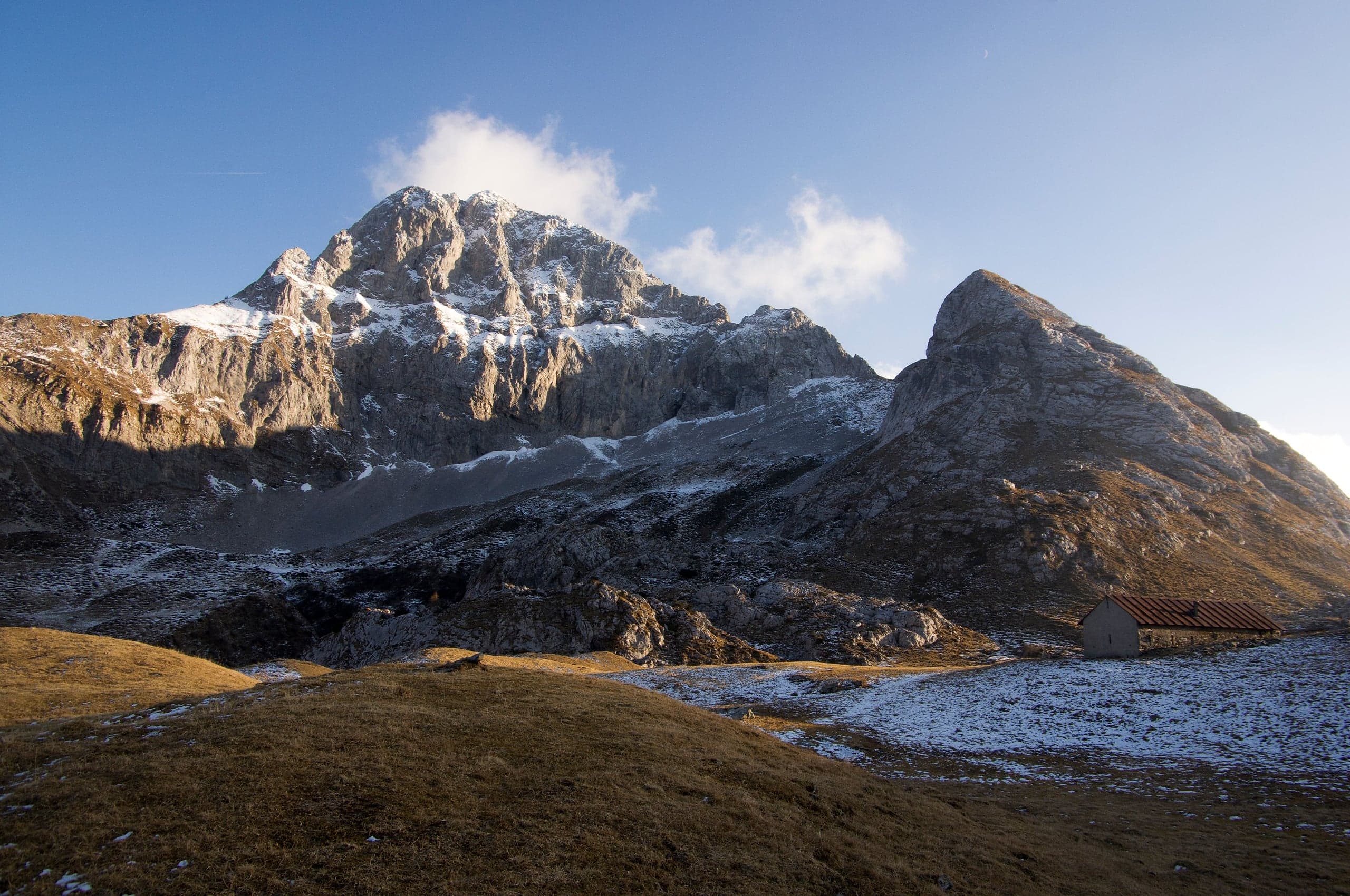
Sentiero dei Fiori Claudio Brissoni: a CAI loop of about 3 hours from the Capanna 2000 to Passo Branchino, 1,821–2,078 m, on the flowering slopes of the Arera.
Summits · 2 minutes
Pizzo Arera (2,512 m) by the south normal route
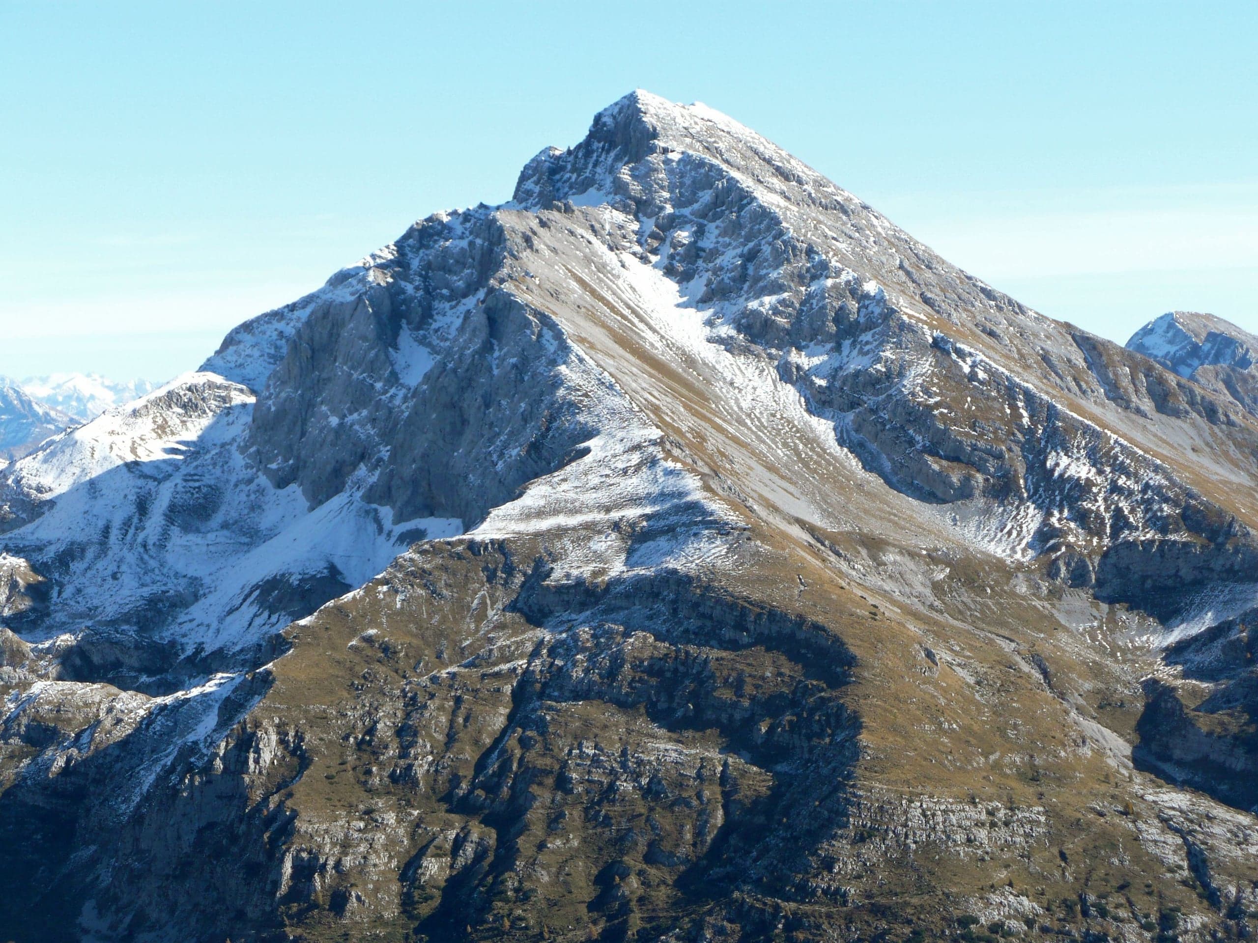
Pizzo Arera, 2,512 m, by the south normal route: from the Alpe Arera car park 922 m of ascent and about 2 h 30, with a protected gully just below the summit.
Summits · 2 minutes
Monte Alben (2,019 m) from the Colle di Zambla
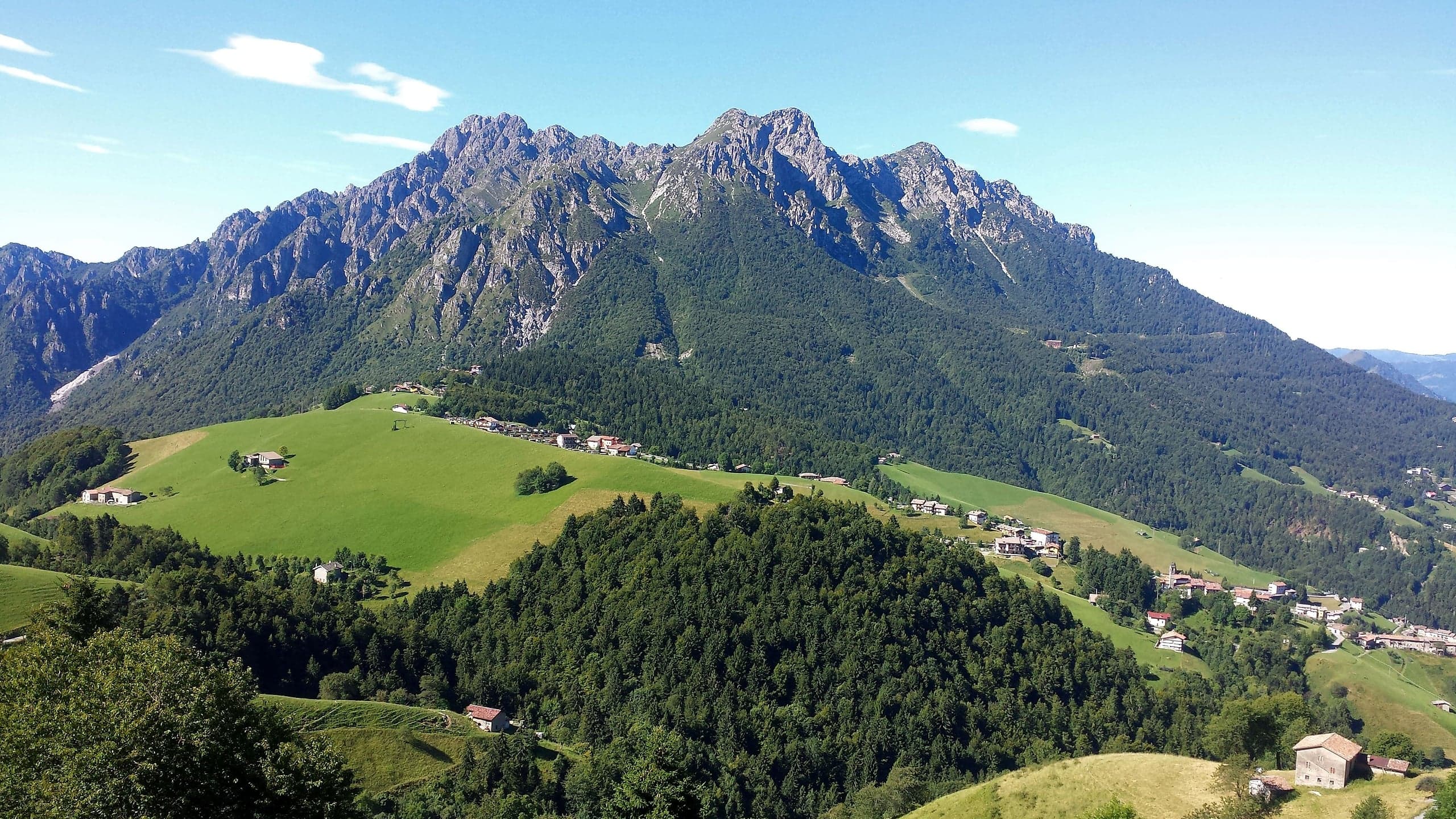
Monte Alben, 2,019 m, from the Colle di Zambla on CAI trail 501: 750 m and 2 h 15 via the Col dei Brassamonti, Passo della Forca and the final EE ridge.
Mountain huts · 2 minutes
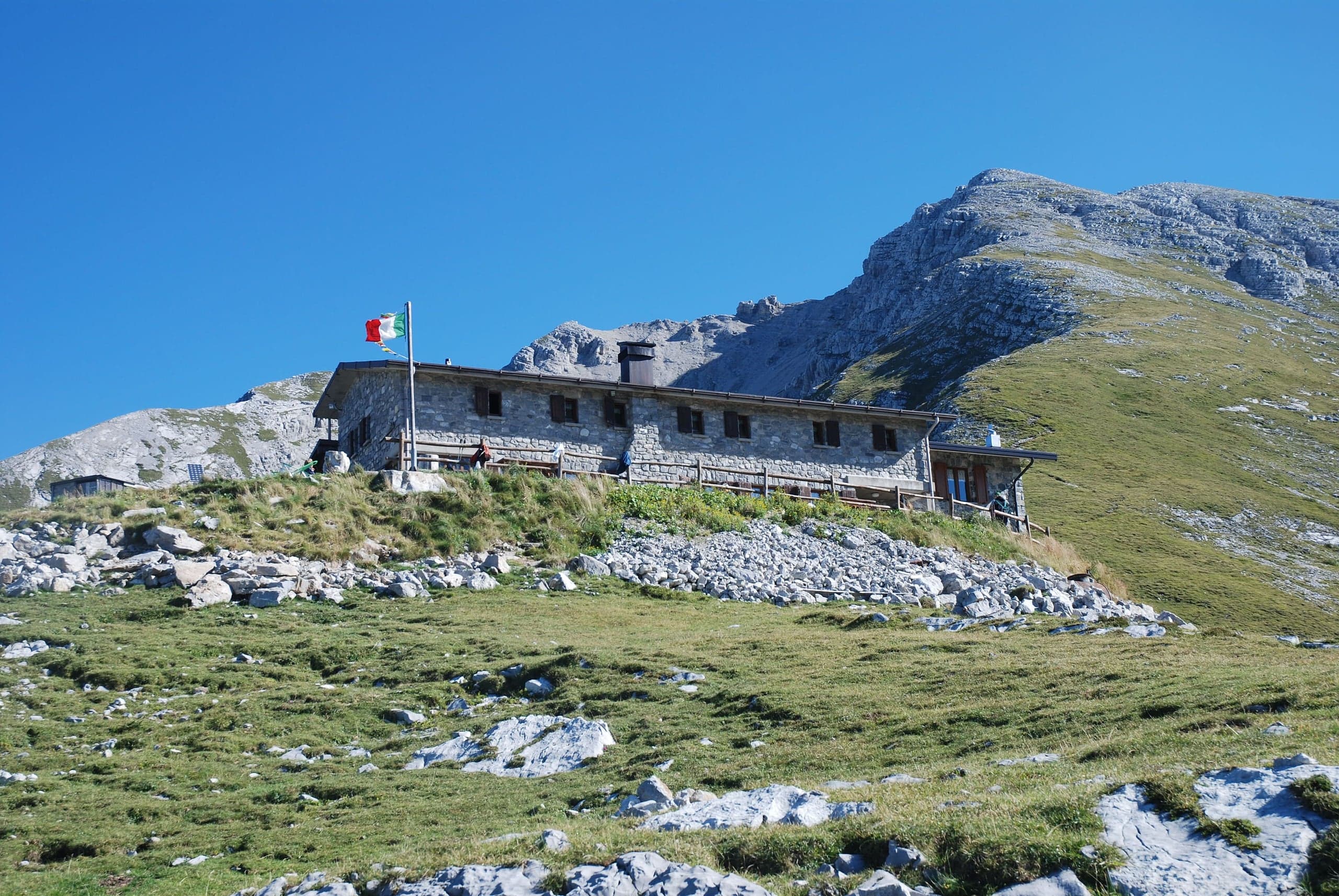
Capanna 2000 hut
Capanna 2000 hut, 1,960 m below the Pizzo Arera: owned by Oltre il Colle, 25 beds, an hour from the Alpe Arera car park. Opening periods, booking and contacts.