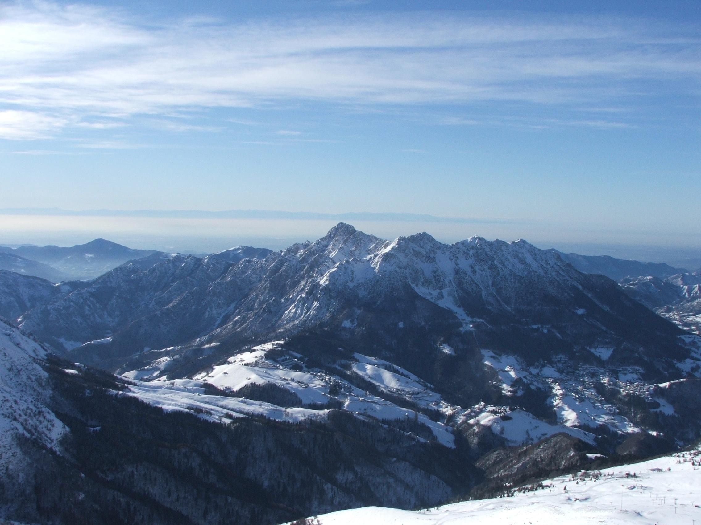
Winter · Zambla Alta · Oltre il Colle
Snowshoe walks at the Colle di Zambla and in the Conca dell'Alben
Easy snowshoe walk from the Colle di Zambla to Pian della Palla and the Conca dell'Alben: 5.6 km almost flat beside the cross-country track, below the Alben.
Anyone looking for a snowshoe walk without climbing will find it here. From the Colle di Zambla a farm and forestry road enters the woods below the north face of Monte Alben and reaches Pian della Palla almost on the level: CAI Bergamo lists it among its barrier-free routes as number 104, 5.6 kilometres there and back, 45 minutes each way and just 30 metres of ascent. From Pian della Palla the H21 loop of the Val Serina path network climbs into the upper part of the Conca dell'Alben and returns to the start.
In winter the same corridor is the cross-country track. Since 20 November 2025 the stretch of dirt road between the Colle di Zambla and Pian della Palla has been closed to traffic by a mayoral ordinance, which establishes the Nordic ski track there and entrusts its management to the Sci Club Valserina: on snowshoes you therefore walk beside the groomed tracks, never on them.
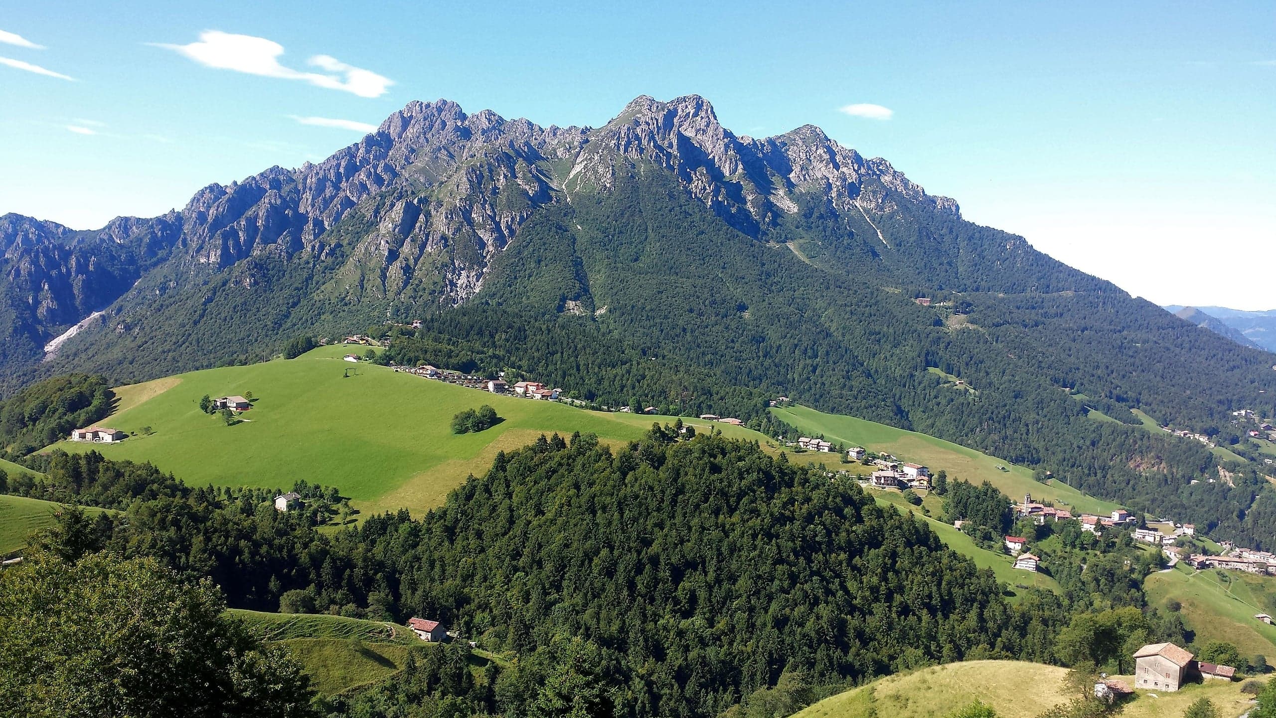
The setting makes the outing: fir and beech woods, the clearing of Pian della Mussa, glimpses of the Cima di Menna, the Pizzo Arera and the Grem, the great basin enclosed by the walls of the Alben. The valley floor stays in the shade of the mountain and holds the snow for a long time; for the same reason the first stretches ice over easily and the cold, even on sunny days, is that of a north-facing slope.
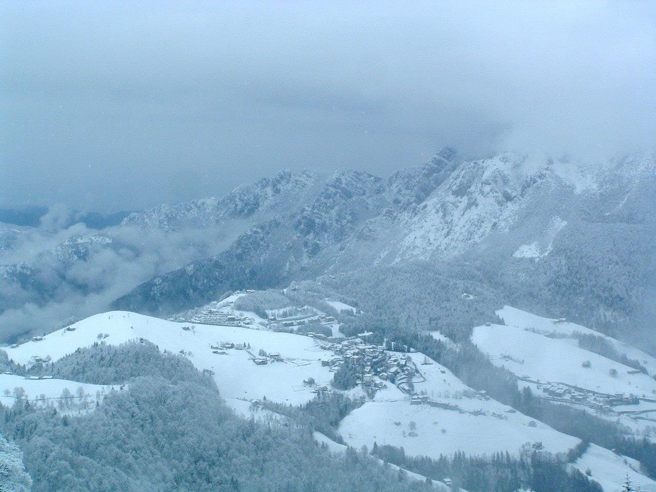
Photo: Orobicon, uploaded by Giorces · CC BY 2.5
The route: from the Colle di Zambla to Pian della Palla
You park at the Colle di Zambla, in the asphalted area by the Centro Sportivo Valle restaurant that CAI Bergamo gives as the start, at 1,278 metres. After a short climb you turn left, cross the playground square, pass the barrier and join the road towards the Conca dell'Alben; a temporary barrier separates the roadway from the cross-country track. The surface, when the snow lets you see it, is fine cobbles.
After about a kilometre the CAI track passes the Passo della Crocetta, where trail 501 for Monte Alben starts and where the B&B Sotto l'Alben reports a drinking-water spring. You carry on through the woods, leaving a small rest area with benches and tables on the right, keep right on the main branch at the fork and, past a couple of houses, enter the area of the Conca dell'Alben with the ski lift. Pian della Palla is ten minutes further on, about 2.8 kilometres from the start: the Pian della Palla signpost, transcribed on OpenStreetMap, gives the Passo di Zambla at 45 minutes.
The upper loop of the Conca dell'Alben (H21)
From Pian della Palla the Pro Loco of Serina publishes the H21 loop, which follows the cross-country track: 5.6 kilometres with the lowest point at 1,263 metres and the highest at 1,386, for about 236 metres of total ascent calculated automatically from the track. You pass the clearing of Pian della Mussa, then climb into the highest and most panoramic part to the Conca dell'Alben locality and return to Pian della Palla.
The full circuit from the Colle di Zambla therefore measures about 11 kilometres, the figure also given by the B&B Sotto l'Alben, which describes the upper part as more demanding but still a tourist route. On snowshoes the time depends above all on the snow: the Pian della Palla signpost gives 1 hour 30 for the loop. As far as Pian della Mussa the route stays almost flat; the real climb, just over a hundred metres, comes afterwards.
Snowshoes and the cross-country track: where you can walk
The track is a managed sports facility, not just any snowy road. The agreement between the municipalities of Oltre il Colle and Serina and the Sci Club Valserina provides for grooming the routes, fencing off the road at the Crocetta from the beginning of December to keep cars out, and a ticket for cross-country skiers, 8 euros a day in the 2024-26 seasons and free up to the age of 10. According to the Scuola Sci Oltre il Colle the tracks are prepared for both classic and skating technique: the grooves and the smooth lane are ruined under snowshoes, so you walk along the edge and let skiers pass.
The stretch from Zambla Alta to the Crocetta is floodlit for night skiing, according to VisitBrembo: anyone snowshoeing after dark does so on the same track, with a headlamp and even more attention to skiers. The road reopens to traffic in spring with a reopening ordinance: in 2025 it came on 17 April.
Avalanches and safety: the track runs along the border between two bulletin zones
The valley floor is the quietest terrain in the basin, but above it rises the north face of the Alben. With the European avalanche micro-region boundaries in force since 3 November 2025, the line between zone 60 Orobie Bergamasche and zone 61 Prealpi Bergamasche of the ARPA Lombardia bulletin runs almost exactly along the track: the Alben slopes are in zone 61, those to the north in zone 60. Anyone staying on the route crosses no steep slopes; anyone climbing towards the upper basin or the Col dei Brassamonti must read zone 61 and carry transceiver, shovel and probe, required by law where there is avalanche risk.
The basin is not immune to accidents. On 15 February 2025, on a day when the regional snow and avalanche centre was urging the utmost caution, the Conca dell'Alben was among the Lombard localities with helicopter rescue interventions, according to Bergamo Tomorrow, which however does not specify the cause. CAI Bergamo, in the description of route 104 written after the first snowfall of January 2024, reports stretches of packed snow alternating with ice.
Parking, toilets, water and refreshments
At the Colle di Zambla there are the asphalted car park and, according to CAI Bergamo, an accessible toilet opposite the Al Trapper bar-restaurant; the Centro Sportivo Valle restaurant is given by the CAI as the refreshment point (035 708988). To shorten the walk you can drive up from Oltre il Colle along via Drago, about 3 kilometres according to the B&B Sotto l'Alben, to the car parks at Pian della Palla.
Water can be found at the Crocetta spring and at the Colle, in the area the municipality calls Parco del Colle, where in 2023 it had a stone fountain and barbecue built; in winter they may be frozen. The barbecue areas with grills and small tables at Pian della Palla and in the Conca dell'Alben, handy in summer, stay under the snow.
Practical tips
Before you set off
- Always walk beside the groomed track: the classic grooves and the skating lane are ruined under snowshoes.
- Keep microspikes in your pocket: the first stretch after the barrier ices over before the rest.
- With small children stop at Pian della Palla, about 2.8 km away: the return is along the same route.
- For the upper loop allow about 11 km from the Colle di Zambla and start in daylight: the basin stays in shade almost all day.
- If you leave the track towards the Alben, read zone 61 Prealpi Bergamasche of the ARPA bulletin and carry transceiver, shovel and probe.
- Bring water from home: in winter the spring and the fountains may be frozen.
Grade T. T, Tourist: roads, mule tracks or easy, obvious paths with no route-finding issues.
FAQ
Frequently asked questions: Snowshoe walks at the Colle di Zambla and in the Conca dell'Alben
Where can you do an easy snowshoe walk in Oltre il Colle?
At the Colle di Zambla, following the corridor towards Pian della Palla and the Conca dell'Alben. It is the route CAI Bergamo classifies as barrier-free itinerary 104: 5.6 kilometres there and back, 45 minutes each way and 30 metres of ascent, with a maximum gradient of 10 per cent.
Can you walk with snowshoes on the Zambla cross-country track?
Not on the groomed track. Since 20 November 2025 the corridor between the Colle di Zambla and Pian della Palla has been a Nordic ski track run by the Sci Club Valserina: the classic grooves and the skating lane must be left to skiers, and on snowshoes you walk beside them.
How long is the full circuit to the Conca dell'Alben?
About 11 kilometres from the Colle di Zambla: 2.8 kilometres to Pian della Palla, the 5.6-kilometre H21 loop with about 236 metres of ascent, and the way back. For a short outing stop at Pian della Palla.
Do you have to pay to snowshoe beside the cross-country track?
The municipalities' agreement sets the prices for access to the cross-country track, 8 euros a day in the 2024-26 seasons and free up to the age of 10, without mentioning walkers. Snowshoers stay off the tracks; if in doubt, ask the operator.
Where do you park for the Conca dell'Alben snowshoe walks?
At the Colle di Zambla, in the asphalted car park by the Centro Sportivo Valle restaurant indicated by the CAI. Alternatively drive up from Oltre il Colle along via Drago, about 3 kilometres, to the car parks at Pian della Palla.
Is the Conca dell'Alben snowshoe walk at risk of avalanches?
Not on the valley-floor route, because it crosses no steep slopes. The track does, however, run along the border between zones 60 and 61 of the ARPA bulletin, with the north face of the Alben above: anyone climbing towards the upper basin or the Col dei Brassamonti must read the bulletin and carry transceiver, shovel and probe.
Is there water or a bar along the route?
At the Colle di Zambla there are the stone fountain of the Parco del Colle, the Centro Sportivo Valle restaurant and an accessible toilet in front of the Al Trapper bar; at the Crocetta there is a drinking-water spring. In winter the fountain and spring may be frozen.
Sources
- CAI Bergamo, geoportale senza barriere – percorso 104 Passo di Zambla / Conca dell'Alben · www.caibergamo.it · accessed on 1 October 2026
- CAI Bergamo – scheda stampabile del percorso 104 (tempi, ristoro, informazioni) · www.caibergamo.it · accessed on 1 October 2026
- CAI Bergamo, geoportale – sentiero 501 Colle di Zambla / Monte Alben (Crocetta) · www.caibergamo.it · accessed on 1 October 2026
- CAI Bergamo, geoportale senza barriere – percorso 105 (bagno accessibile al Colle) · www.caibergamo.it · accessed on 1 October 2026
- Pro Loco Serina – H21: Anello pista Conca dell'Alben · www.prolocoserina.it · accessed on 1 October 2026
- B&B Sotto l'Alben – passeggiata ad anello sulla pista di sci nordico · www.bbsottolalben.it · accessed on 1 October 2026
- Comune di Oltre il Colle – ordinanza n. 33/2025, chiusura della strada Colle di Zambla–Pian della Palla e pista di sci nordico · www.comune.oltreilcolle.bg.it · accessed on 1 October 2026
- Comune di Oltre il Colle – ordinanza n. 5/2025, riapertura della strada Colle di Zambla–Pian della Palla (17 aprile 2025) · www.comune.oltreilcolle.bg.it · accessed on 1 October 2026
- Comune di Oltre il Colle – delibera di Consiglio n. 37/2024, convenzione con lo Sci Club Valserina (allegato) · www.comune.oltreilcolle.bg.it · accessed on 1 October 2026
- Scuola Sci Oltre il Colle – piste di fondo per tecnica classica e skating · www.scuolascioltreilcolle.it · accessed on 1 October 2026
- Comune di Oltre il Colle – determina 2023 per la fontana e il barbecue del Parco del Colle · www.comune.oltreilcolle.bg.it · accessed on 1 October 2026
- VisitBrembo – piste da sci nordico e alpino Monte Alben · www.visitbrembo.it · accessed on 1 October 2026
- OpenStreetMap – cartello segnaletico di Pian della Palla · www.openstreetmap.org · accessed on 1 October 2026
- EAWS – confini delle microregioni valanghive della Lombardia (dal 3 novembre 2025) · regions.avalanches.org · accessed on 1 October 2026
- ARPA Lombardia – Bollettino neve e valanghe · www.arpalombardia.it · accessed on 1 October 2026
- Bergamo Tomorrow – allerta valanghe e interventi a Carona, Foppolo e Oltre il Colle (16 febbraio 2025) · www.bergamotomorrow.it · accessed on 1 October 2026
Page verified on
Nearby
More pages from around here
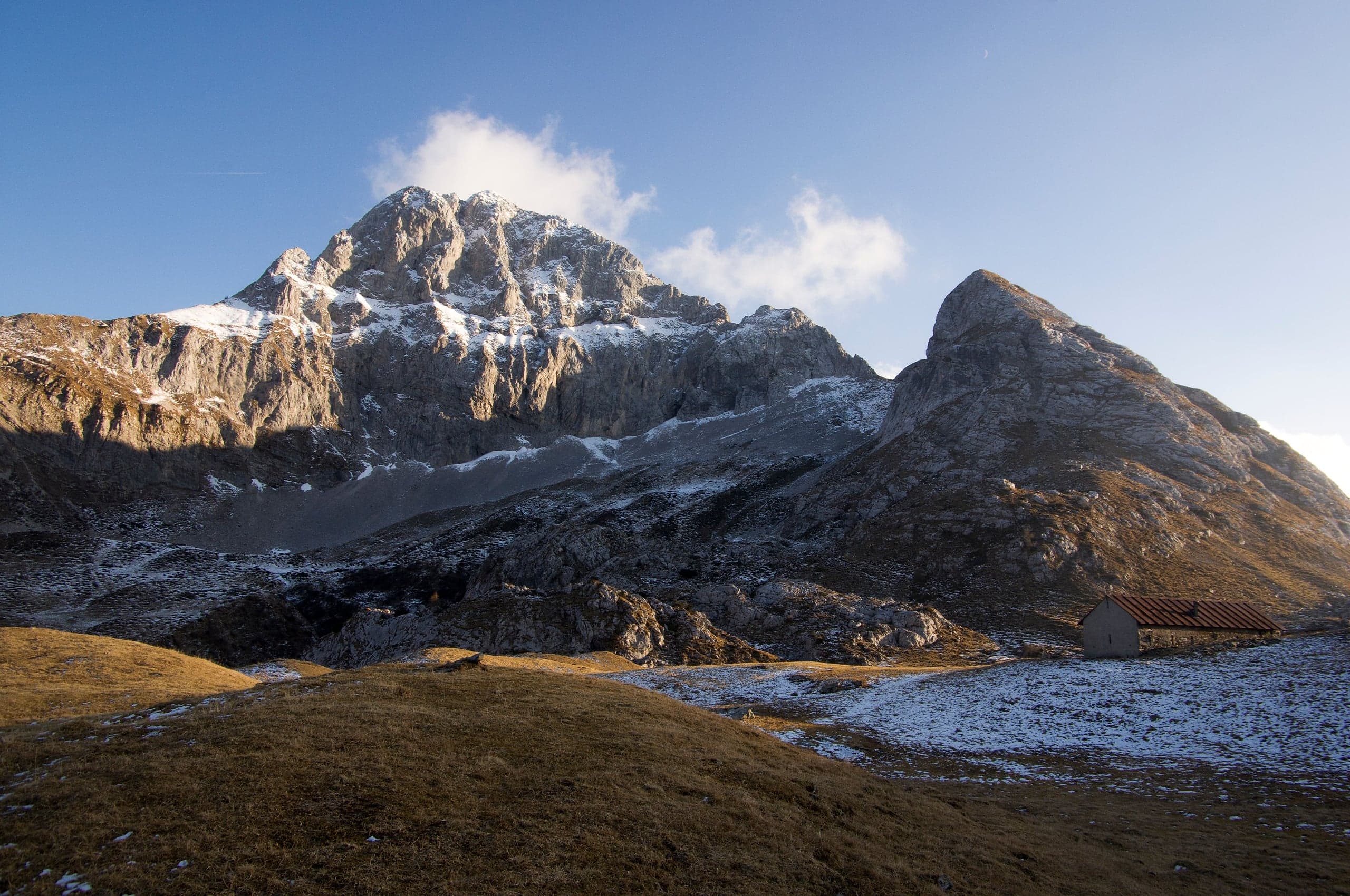
Hikes · 2 minutes
Sentiero dei Fiori “Claudio Brissoni”
Sentiero dei Fiori Claudio Brissoni: a CAI loop of about 3 hours from the Capanna 2000 to Passo Branchino, 1,821–2,078 m, on the flowering slopes of the Arera.
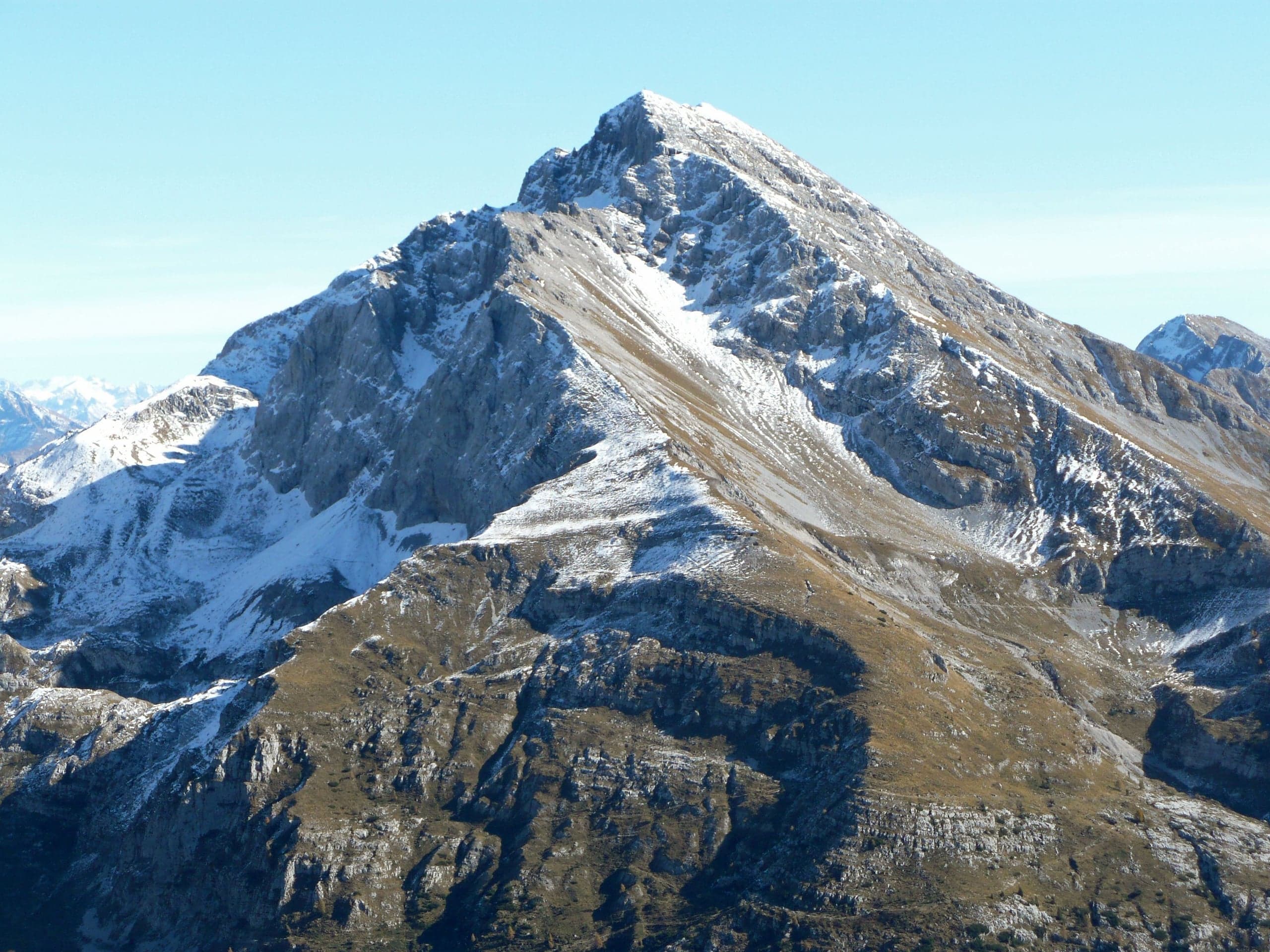
Summits · 2 minutes
Pizzo Arera (2,512 m) by the south normal route
Pizzo Arera, 2,512 m, by the south normal route: from the Alpe Arera car park 922 m of ascent and about 2 h 30, with a protected gully just below the summit.
Summits · 2 minutes
Monte Alben (2,019 m) from the Colle di Zambla
Monte Alben, 2,019 m, from the Colle di Zambla on CAI trail 501: 750 m and 2 h 15 via the Col dei Brassamonti, Passo della Forca and the final EE ridge.
Mountain huts · 2 minutes
Capanna 2000 hut
Capanna 2000 hut, 1,960 m below the Pizzo Arera: owned by Oltre il Colle, 25 beds, an hour from the Alpe Arera car park. Opening periods, booking and contacts.