Hike · Oltre il Colle
Lake Branchino from Valcanale and Zorzone
Lake Branchino, 1,784 m, below Passo Branchino: 2 h 30 and 750 m from Valcanale via the Alpe Corte hut, or 3 hours from Zorzone up the Val Vedra.
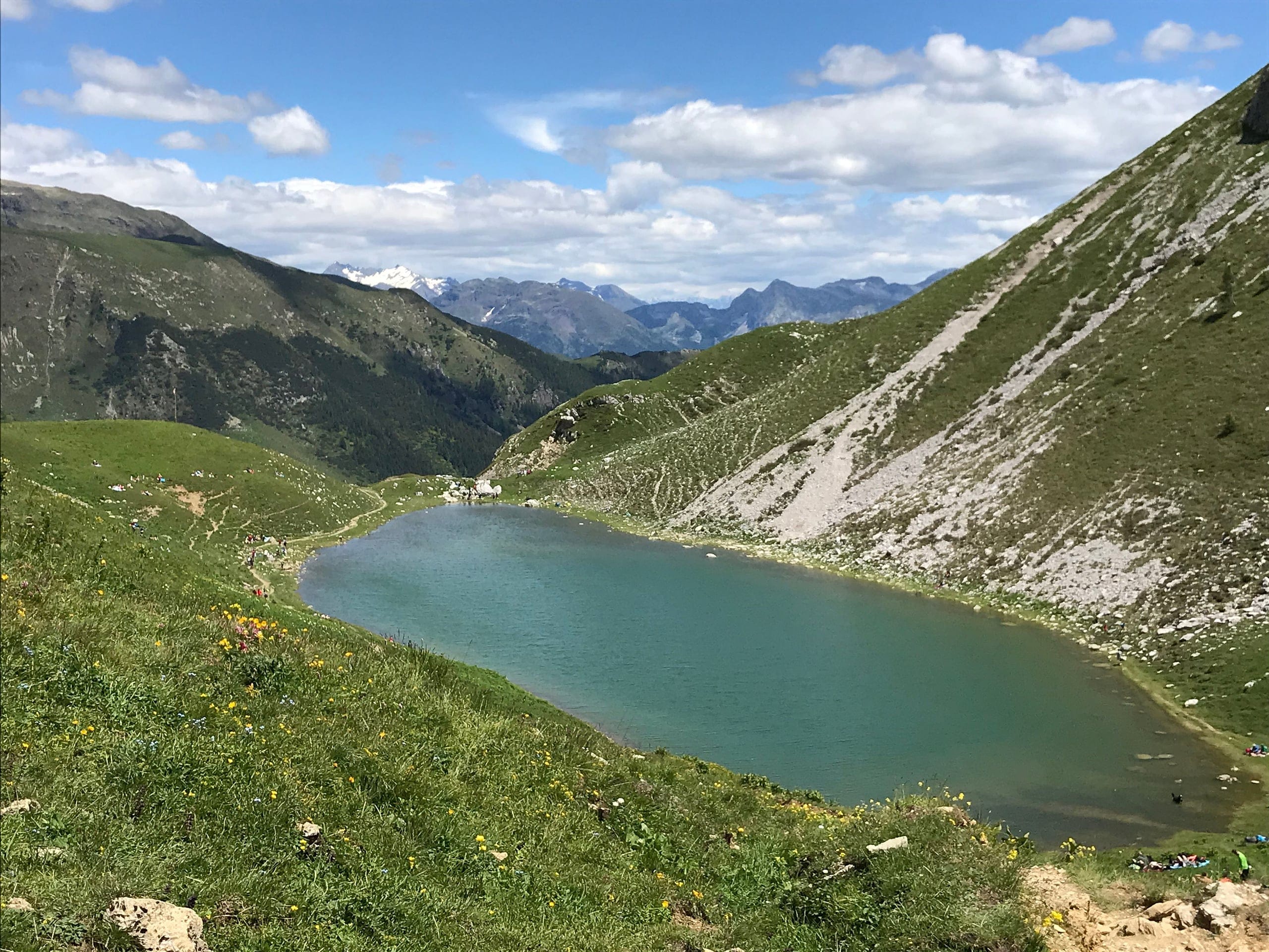
Lake Branchino is one of the few lakes in the Orobie with a catchment of limestone rock: a small oval sheet of water about 130 metres by 60, at most 2 metres deep, at 1,784 metres according to the Province of Bergamo's study of alpine lakes and at 1,787 for the CAI and OpenStreetMap. It lies between the Corno Branchino and the Corna Piana, a few minutes below Passo Branchino, the grassy 1,821-metre pass between the Valcanale and the Oltre il Colle basin.
The sources disagree on which municipality it belongs to: the provincial study assigns it to Ardesio, Wikipedia places it on the boundary between Ardesio and Oltre il Colle, and the municipal boundaries in OpenStreetMap include it in Oltre il Colle. What is certain is that the pass is a crossroads of trails: the 218 from the Valcanale, the 219 from Roncobello, the 222 from the Capanna 2000 and the 231 from Zorzone.
The best-known ascent starts from Valcanale di Ardesio, in the Seriana valley: trail 220 to the Alpe Corte hut, then the 218 across the pastures of the Alpe Neel to the Rifugio Lago Branchino and the lake. Luca Gherardi gives 750 metres of ascent, 2 h 30 up and 10 kilometres in all; the CAI grades the trails E. From the Oltre il Colle side you arrive on trail 231 from Zorzone up the Val Vedra, in 3 hours and 850 metres according to the CAI.
It is not a lake whose water vanishes into the limestone, as you sometimes read: the provincial study describes a spring on the shore opposite the outlet, the only visible inflow, and an outflow, a stream that starts on a steep, rough course. The catchment that feeds it is small, about 13 hectares of the Alpe Nevel pastures, and in winter the lake freezes.
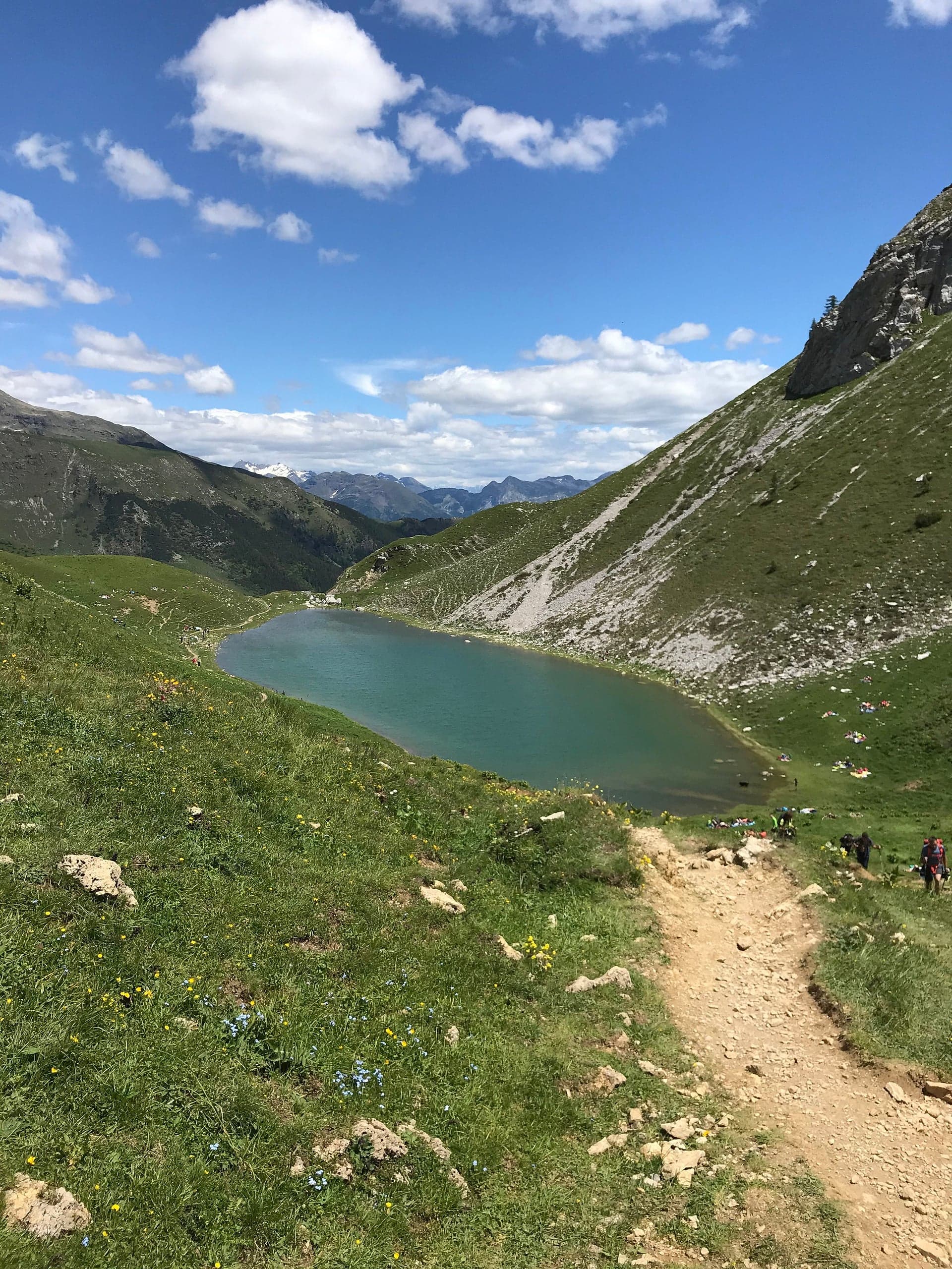
Photo: Brum Brum Bruni · CC BY-SA 4.0
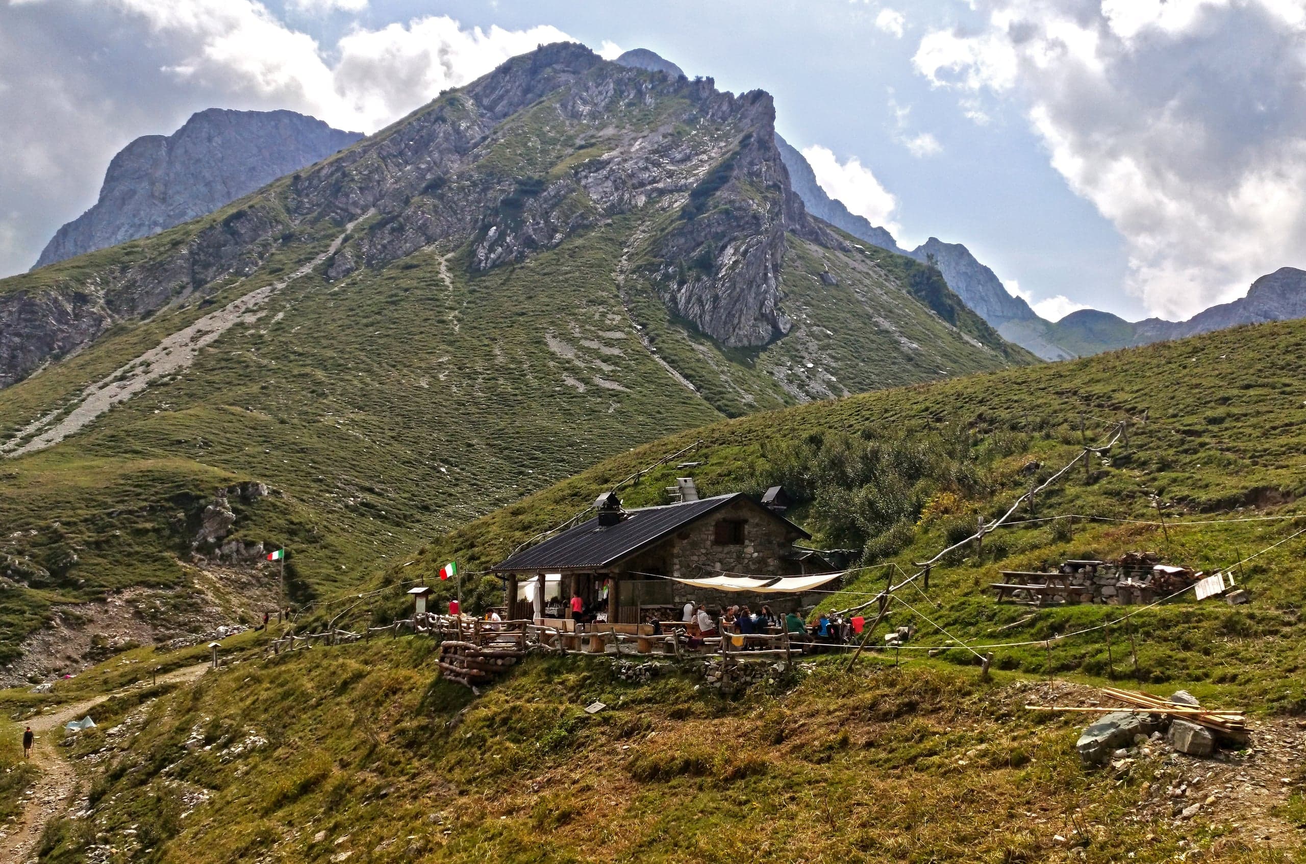
Photo: MatthewGhera · CC BY 3.0
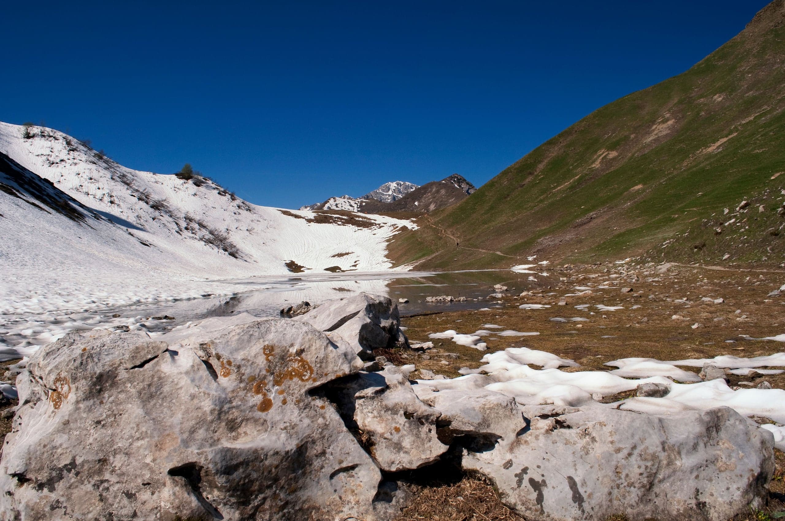
Photo: nucce · CC BY 2.0
From Valcanale: the route step by step
You leave the car in the pay car parks near the small lake at Valcanale, at Babes; Luca Gherardi notes that early arrivals find a few spaces right at the start of the path. You set off by a wooden panel with a map and climb through the woods on a dirt and partly concrete track: after about 40 minutes a junction offers the direct path to the lake on the left and the Alpe Corte hut on the right, reached in a few minutes.
From the Alpe Corte, 1,410 metres, trail 218 crosses the stream and climbs the opposite side, follows a forest road to the junction with the 266 and the lower and middle Neel huts, at 1,565 and 1,614 metres, then climbs the Alpe Neel pastures to the Rifugio Lago Branchino and the lake, with the pass a little beyond. Gherardi allows 1 h 20 to the Alpe Corte and 2 h 30 to the lake.
For the return Gherardi suggests a loop: from the hut you descend to one of the junctions passed on the way up and turn right towards the GAN Nembro hut, on CAI trail 266, then descend along the old ski runs, among the ruins of the lifts, passing the abandoned Albergo Sempreneve, back to the car park.
From Oltre il Colle: from Zorzone up the Val Vedra (CAI 231)
Trail 231 starts from Zorzone, 1,019 metres, where the CAI recommends parking in via Giorgi, and follows a mule track across the hillside eastwards to the Val Vedra. It climbs the valley at a moderate gradient to Pian Bracca, 1,111 metres, now the most common starting point because it can be reached by car from Zorzone; keeping near the valley floor it passes the Baita Pessel, 1,209 metres, the pastures and the Casera di Vedro, 1,672 metres, then Passo di Val Vedra, 1,848 metres, and finally Passo Branchino.
For the CAI it is about 7.6 kilometres, 850 metres up and 50 down, 3 hours out and 2 h 10 back, grade E, south-facing, season April to October, with boots and high-mountain clothing. At Passo Branchino the 231 meets the 222 to the Capanna 2000, the 218 to the Alpe Corte and the 219 to the Baite di Mezzeno: for a long round you can return via the Capanna 2000 and descend to Plassa on the 221, arranging transport back to Zorzone.
The lake: what the Province's study says
The Province of Bergamo's study on the ecology of alpine lakes, produced in 2003 by its wildlife and environment service, has a page on Lake Branchino: a natural lake at the head of the Val Canale, oval in shape, with an area of 0.65 hectares, 130 metres long and 60 wide, at most 2 metres deep. On the right it is bordered by alders, elsewhere by alpine grassland; the catchment, 13.1 hectares, includes the pastures of the Alpe Nevel.
The analyses of 2 October 2001 recorded water at 9.4 degrees, moderately alkaline, with the highest phosphorus concentration of all the lakes examined and high alkalinity and conductivity, an effect of the limestone catchment. Its modest depth, the study concludes, makes it unsuitable for a stable population of salmonids; the common minnow may be present, though it was not observed during the survey.
Huts and support points
The Rifugio Alpe Corte, 1,410 metres, belongs to CAI Bergamo: 24 beds and 80 seats inside, telephone 0346 35090 or 348 5253268, email alpecorte@caibergamo.it. The CAI's 2026 calendar gives weekend opening from 10 April, from 30 April to 3 May, every day from 29 May to 13 September and, from 1 October, Fridays, Saturdays and Sundays. It began in 1948 in a building of the De Angeli-Frua company rented by the section, was bought by the CAI in 1970 and since 2007 has been a barrier-free hut, accessible to people with disabilities.
The Rifugio Lago Branchino, at about 1,787 metres and a few metres from the lake, was built on the ruins of the Baita Neel Alta by the A.R.D.E.S. association; Wikipedia gives it 8 places. From the hut the lake is hidden by a knoll, while the view takes in the Valcanale and the Presolana. For the 2026 season its blog gave it as open on Saturdays and Sundays in September and October.
Lower down, the Baita Neel Bassa is lent to groups and families, with twelve beds according to Diska. On the Oltre il Colle side the reference point is the Capanna 2000, 1 h 30 from the pass on trail 222.
The Butterfly Trail and traverses
The Orobie Bergamasche Park calls the Butterfly Trail the combination of the approaches to Passo Branchino from Valcanale and from Mezzeno, suited to watching butterflies thanks to the meadows and pastures they cross; from the pass the Sentiero dei Fiori sets off towards the Bocchetta di Corna Piana and the Capanna 2000. With two cars you can plan traverses between the Seriana, Brembana and Serina valleys, for example from Zorzone to Passo Branchino and down to Valcanale.
From Roncobello trail 219, called the Butterfly Trail, climbs from the Baite di Mezzeno to the pass in 50 minutes and 240 metres; the CAI page notes that the Capovalle-Mezzeno municipal road is a toll road, with a daily rate of €3 in April 2025, and that the meter gives no change.
When to go
The CAI gives April to October for the 218 and 231 and May to October for the 220 and 219, always without snow. Those combining the lake with the Sentiero dei Fiori find the best flowering in July, according to the Park. In winter the lake freezes and snow ascents must be assessed against the avalanche bulletin: they are a different outing.
In detail
From Valcanale to Lake Branchino
| Stage | Elevation | Time from the start | Notes |
|---|---|---|---|
| Car parks by the small lake at Valcanale | about 1,050 m | — | Paid |
| Junction direct path / Alpe Corte hut | — | about 40 min | Left for the direct path to the lake |
| Alpe Corte hut | 1,410 m | 1 h 20 | Start of trail 218 |
| Lower and middle Neel huts | 1,565 and 1,614 m | — | Alpe Neel pastures |
| Rifugio Lago Branchino and lake | 1,787 m (CAI); lake at 1,784 m (Province) | 2 h 30 | The pass is a little further |
| Passo Branchino | 1,821 m | — | Junction with trails 219, 222 and 231 |
Times from Luca Gherardi (June 2020), elevations from CAI Bergamo and the provincial study of alpine lakes.
From Zorzone to Passo Branchino (CAI trail 231)
| Stage | Elevation | Notes |
|---|---|---|
| Zorzone, via Giorgi | 1,019 m | Mule track across the hillside eastwards |
| Pian Bracca | 1,111 m | Reachable by car from Zorzone |
| Baita Pessel | 1,209 m | Near the floor of the Val Vedra |
| Casera di Vedro | 1,672 m | Pasture area |
| Passo di Val Vedra | 1,848 m | Highest point |
| Passo Branchino | 1,821 m | 3 h out, 2 h 10 back |
CAI Bergamo data: about 7.6 km, 850 m of ascent and 50 of descent, grade E.
Practical tips
Before you set off
- The Valcanale car park is paid: the daily ticket is sold in the village shops or at the meters, which according to Gherardi also take cards.
- From the lake walk the few minutes up to Passo Branchino: from there you see the lake from above and the Oltre il Colle side opens up.
- If you are counting on a hut, check the calendars: in autumn the Alpe Corte opens Friday to Sunday, the Rifugio Lago Branchino on Saturdays and Sundays.
- With two cars the traverse from Zorzone to Valcanale, or the reverse, avoids retracing your steps.
- On the way back to Valcanale, the loop via the GAN Nembro hut and the old ski runs is an alternative to the route up.
Grade E. E, Hiker: marked paths or tracks over varied terrain; requires fitness and proper footwear.
FAQ
Frequently asked questions: Lake Branchino from Valcanale and Zorzone
How long is the walk to Lake Branchino from Valcanale?
About 2 h 30 according to Luca Gherardi, for 750 metres of ascent and 10 kilometres in all there and back: 1 h 20 to the Alpe Corte hut on trail 220, then the 218 across the Alpe Neel pastures. The CAI grades the trails E.
Can you reach Lake Branchino from Oltre il Colle?
Yes, in two ways. From Zorzone on CAI trail 231 up the Val Vedra: 7.6 kilometres, 850 metres of ascent, 3 hours out. Or from the Capanna 2000 on trail 222, 1 h 15 according to the CAI, after the hour's walk up from the Alpe Arera car park.
Is Lake Branchino suitable for children?
As far as the Alpe Corte hut Luca Gherardi describes an easy route, suitable for families with small children too. To the lake the ascent grows to about 750 metres and Gherardi calls it moderate: fine with children already used to mountain walks.
Where do you park at Valcanale for Lake Branchino?
In the pay car parks near the small lake at Valcanale, at Babes, at about 1,050 metres. The daily ticket is sold in the village shops or at the meters; early arrivals also find a few spaces at the start of the path.
How big and how deep is Lake Branchino?
According to the Province of Bergamo's study of alpine lakes it is about 130 metres long and 60 wide, with an area of 0.65 hectares and a maximum depth of 2 metres. Its catchment, 13.1 hectares, includes the pastures of the Alpe Nevel.
Does Lake Branchino have an outlet?
Yes. The provincial study describes a spring on the shore opposite the outlet, the only visible inflow, and an outflow, a small stream that drops steeply towards the Valcanale and feeds the Acqualina torrent.
Are there huts near Lake Branchino?
Yes: the Rifugio Lago Branchino, a few metres from the lake, open in 2026 on Saturdays and Sundays in September and October; the CAI's Alpe Corte hut, at 1,410 metres on the way up from Valcanale; and on the Oltre il Colle side the Capanna 2000, 1 h 30 from the pass.
Which municipality is Lake Branchino in?
The sources do not agree: the Province of Bergamo's study assigns it to Ardesio, Wikipedia places it on the boundary between Ardesio and Oltre il Colle, and the OpenStreetMap boundaries include it in Oltre il Colle. Passo Branchino, just above, is the pass between the Valcanale and the Oltre il Colle basin.
Sources
- Provincia di Bergamo – Studio sull'ecologia dei laghi alpini della Provincia di Bergamo (2003), scheda Lago Branchino (copia archiviata) · web.archive.org · accessed on 1 October 2026
- Wikipedia – Lago Branchino · it.wikipedia.org · accessed on 1 October 2026
- CAI Bergamo, geoportale – sentiero 218 Rifugio Alpe Corte / Lago Branchino / Baita GAN · www.caibergamo.it · accessed on 1 October 2026
- CAI Bergamo, geoportale – sentiero 220 Ardesio / Valcanale / Rifugio Alpe Corte · www.caibergamo.it · accessed on 1 October 2026
- CAI Bergamo, geoportale – sentiero 231 Zorzone / Passo Branchino · www.caibergamo.it · accessed on 1 October 2026
- CAI Bergamo, geoportale – sentiero 219 Baite di Mezzeno / Passo Branchino (sentiero delle Farfalle) · www.caibergamo.it · accessed on 1 October 2026
- CAI Bergamo, geoportale – sentiero 222 Capanna 2000 / Passo Branchino · www.caibergamo.it · accessed on 1 October 2026
- CAI Bergamo, geoportale – Rifugio Alpe Corte (contatti, posti, aperture 2026, storia) · www.caibergamo.it · accessed on 1 October 2026
- Luca Gherardi – Rifugio Alpe Corte e lago Branchino da Valcanale (escursione di giugno 2020) · lucagherardi.com · accessed on 1 October 2026
- Wikipedia – Rifugio Lago Branchino · it.wikipedia.org · accessed on 1 October 2026
- Diska – Rifugio Branchino · www.diska.it · accessed on 1 October 2026
- Diska – Rifugio Baita Neel (Baita Bassa dell'Alpe Nevel) · www.diska.it · accessed on 1 October 2026
- Rifugio Lago Branchino – blog (aperture stagione 2026) · rifugiobranchino.blogspot.com · accessed on 1 October 2026
- Parco delle Orobie Bergamasche (parks.it) – Sentiero dei fiori e delle farfalle · www.parks.it · accessed on 1 October 2026
- OpenStreetMap – Lago Branchino (relazione 14028476) e parcheggio di Valcanale: coordinate e confini comunali · www.openstreetmap.org · accessed on 1 October 2026
Page verified on
Nearby
More pages from around here
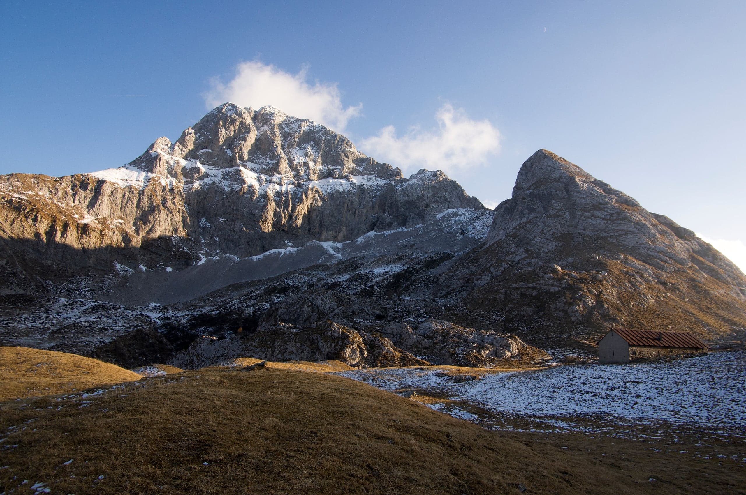
Hikes · 2 minutes
Sentiero dei Fiori “Claudio Brissoni”
Sentiero dei Fiori Claudio Brissoni: a CAI loop of about 3 hours from the Capanna 2000 to Passo Branchino, 1,821–2,078 m, on the flowering slopes of the Arera.
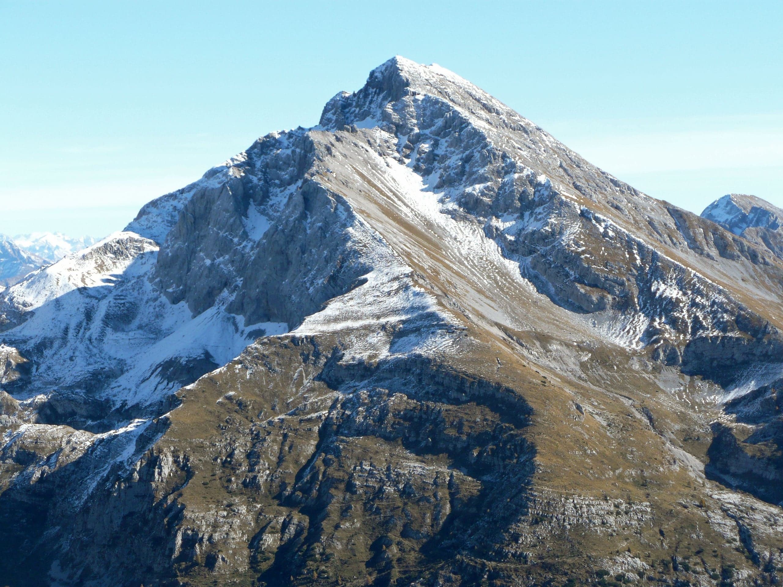
Summits · 2 minutes
Pizzo Arera (2,512 m) by the south normal route
Pizzo Arera, 2,512 m, by the south normal route: from the Alpe Arera car park 922 m of ascent and about 2 h 30, with a protected gully just below the summit.
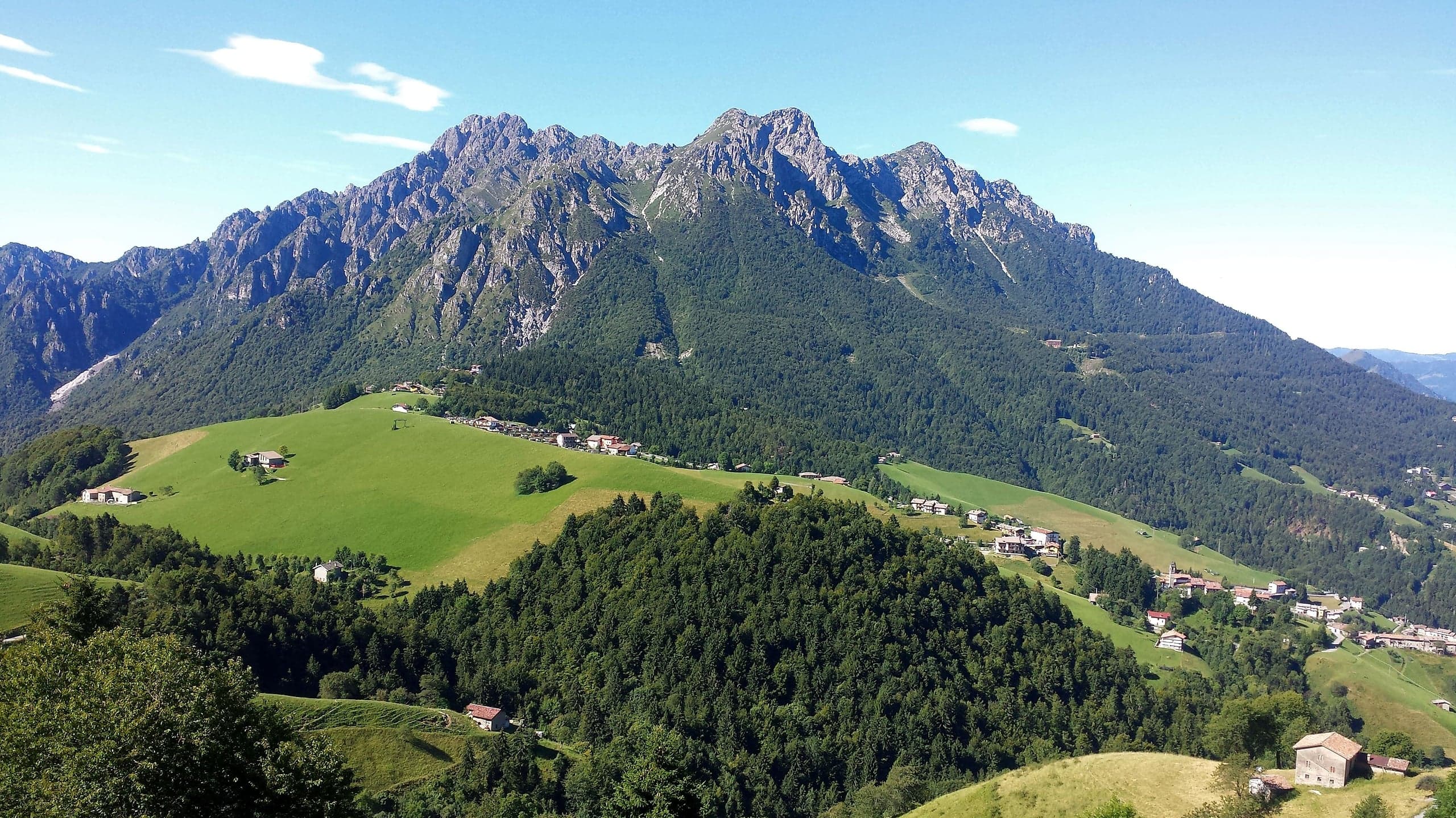
Summits · 2 minutes
Monte Alben (2,019 m) from the Colle di Zambla
Monte Alben, 2,019 m, from the Colle di Zambla on CAI trail 501: 750 m and 2 h 15 via the Col dei Brassamonti, Passo della Forca and the final EE ridge.
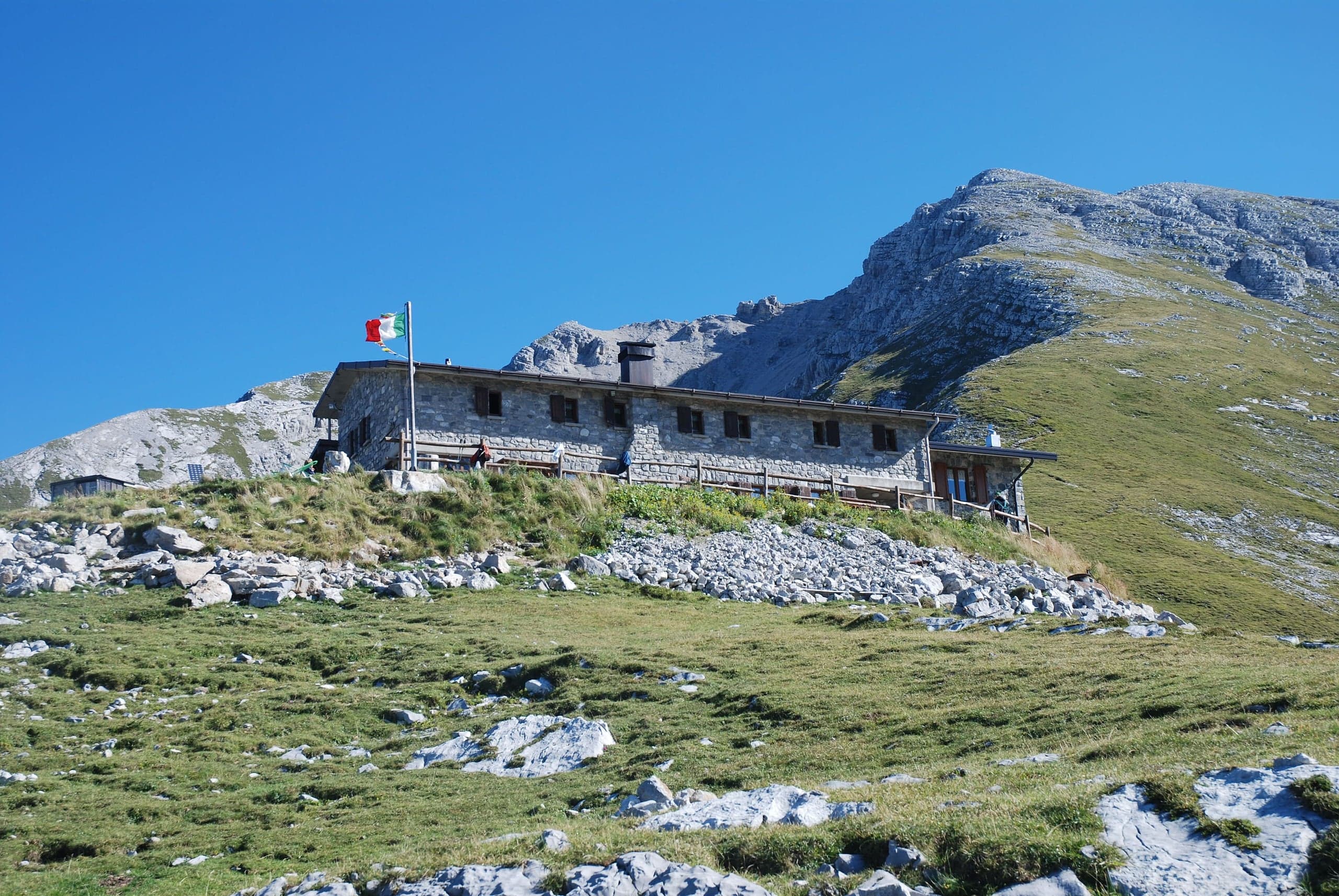
Mountain huts · 2 minutes
Capanna 2000 hut
Capanna 2000 hut, 1,960 m below the Pizzo Arera: owned by Oltre il Colle, 25 beds, an hour from the Alpe Arera car park. Opening periods, booking and contacts.