Summit · Zambla Alta · Oltre il Colle
Pizzo Arera (2,512 m) by the south normal route
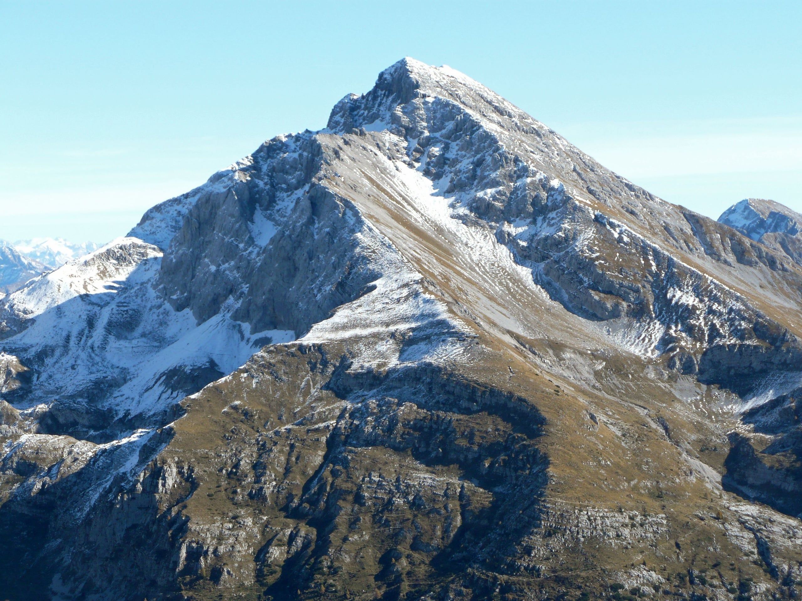
Pizzo Arera, 2,512 m, by the south normal route: from the Alpe Arera car park 922 m of ascent and about 2 h 30, with a protected gully just below the summit.
Notice
From 5 October to 18 December 2026, between 8.00 and 17.00, the Plassa–Alpe Arera road has temporary closures managed by flaggers during logging work at Grumello (mayor's order no. 39/2026, which may be extended): allow for waits, or walk up from Plassa.
The Pizzo Arera is the highest mountain of the Oltre il Colle basin and of Val Serina: 2,512 metres, a limestone massif of ridges, walls and gullies straddling the Brembana and Seriana valleys, north of Val Serina and south of the Valcanale. It has a prominence of 691 metres and, according to Wikipedia, an isolation of 9.3 kilometres: no higher summit within almost ten kilometres, which is why the view from the top reaches so far. With Menna, Grem and Alben it forms the quartet of peaks that gives the Maga Skymarathon its name.
The normal route climbs the south side. You leave the car at the Alpe Arera car park, at about 1,600 metres, walk up to the Capanna 2000 hut and from there tackle the steep south ridge to about 2,400 metres, below the fore-summit. The key passage is a gully: you descend some twenty metres on steep scree, then climb a cleft in the rock with metal steps and fixed chains, grade I moves. VieNormali gives 922 metres of ascent and 2 h 30 up, 4 hours in all including the descent by the same route.
It is a climb graded EE: the gully is short and protected, but everything above the hut is on limestone and loose rock, where it is easy to slip and where people above can knock stones onto those below. On the summit stands the cross placed on 7 September 1958 at the initiative of the Coca mountaineering club of Colognola.
The Arera is interesting underground too. In the massif the Le Nottole caving group of Bergamo has explored the Abisso dei Due Increduli, about 634 metres deep, and Wikipedia also cites the «La Dolce Vita» abyss, 485 metres, as well as extensive systems of disused mines. Above the hut there are no other places to eat or drink: the last place to get water is the Capanna 2000.
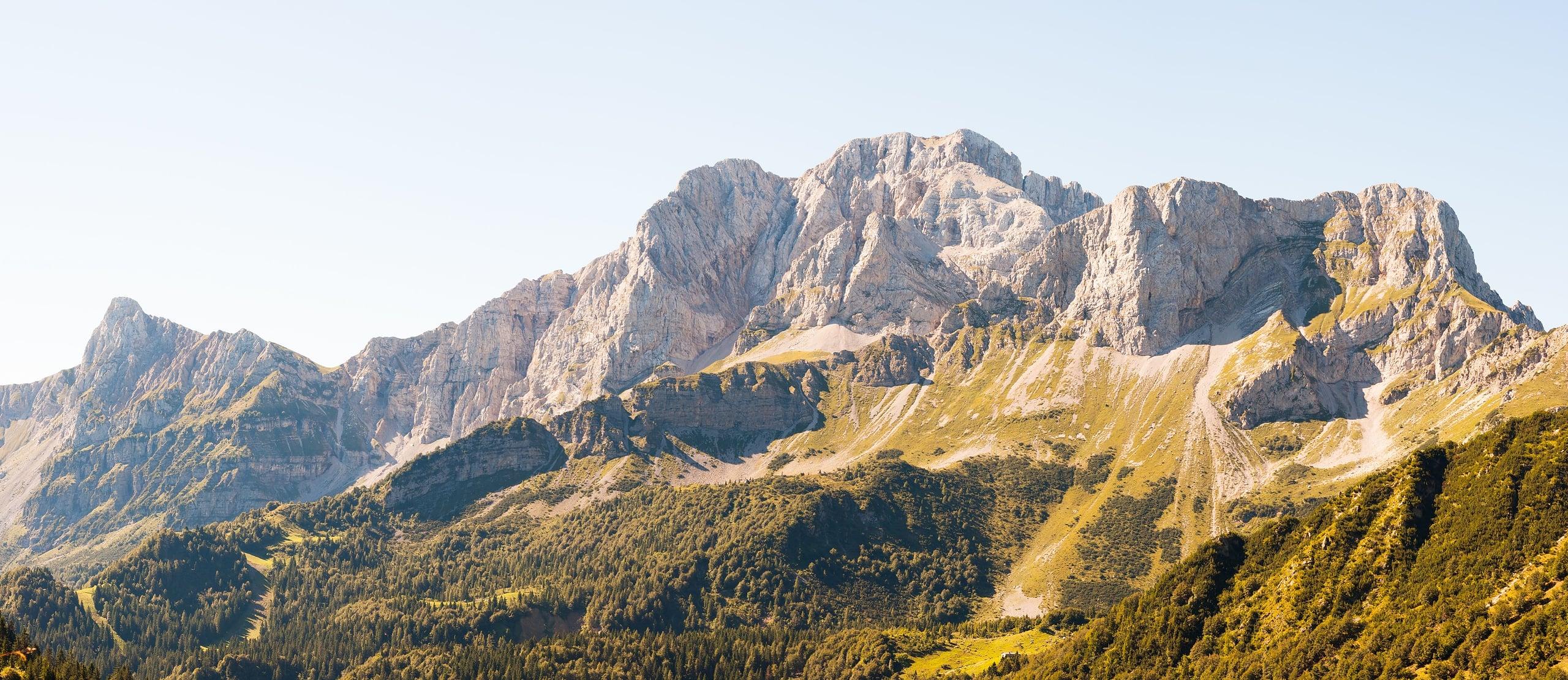
Photo: Fabio Giudici · CC BY-SA 4.0
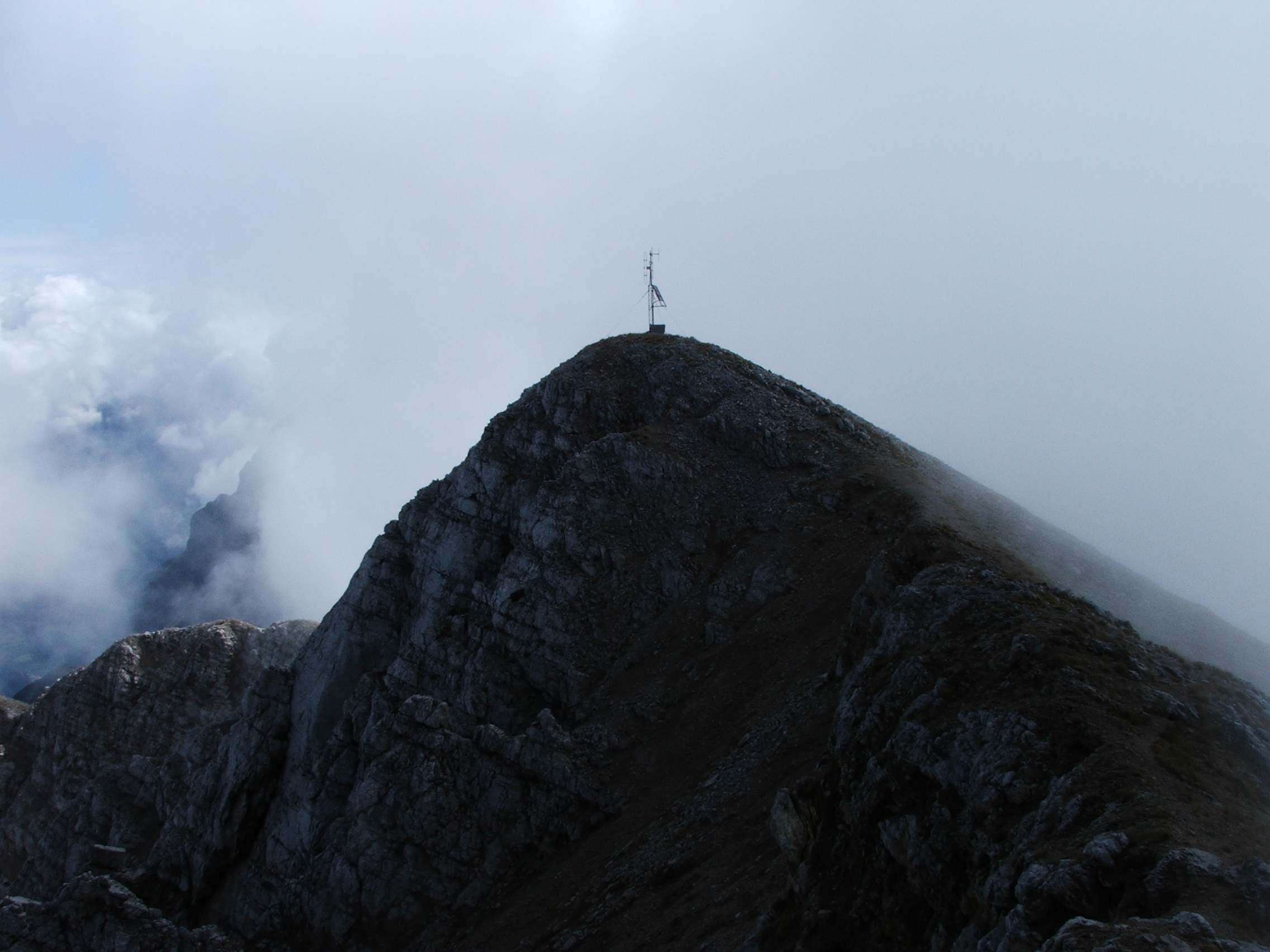
Photo: Orobicon · CC BY-SA 3.0
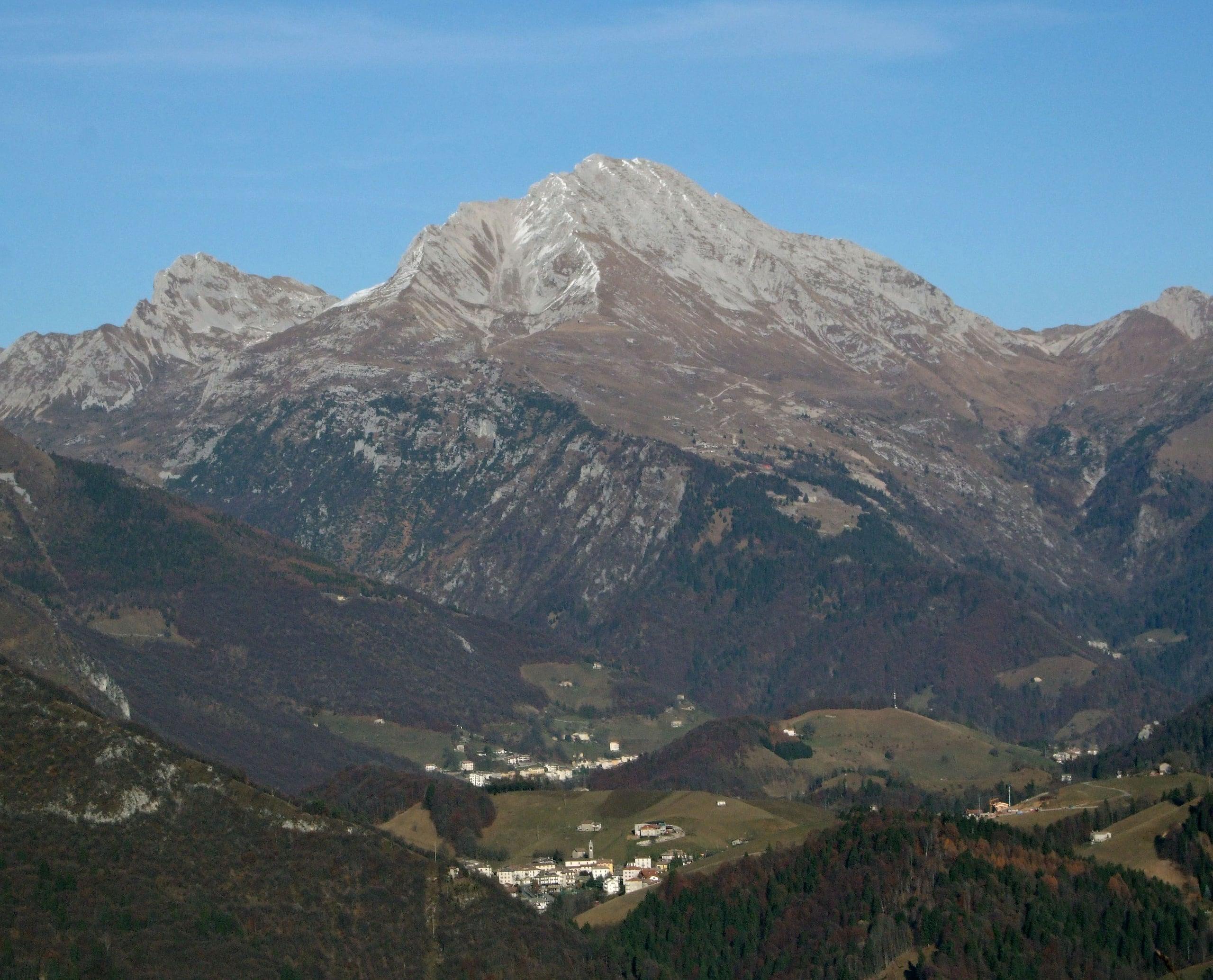
Photo: MatthewGhera · CC BY 3.0
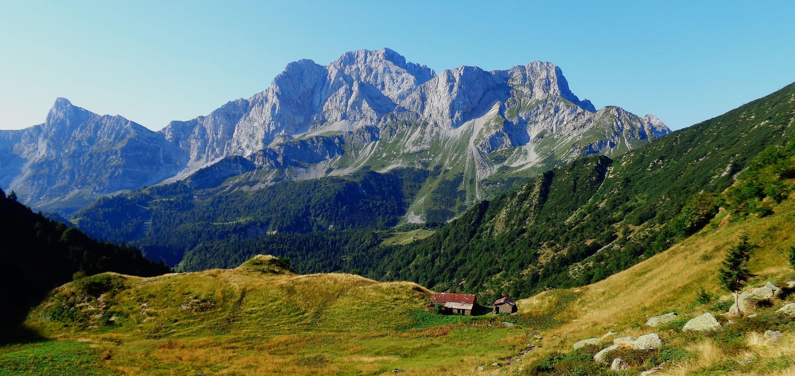
Photo: Giuseppe Scuri · CC BY-SA 4.0
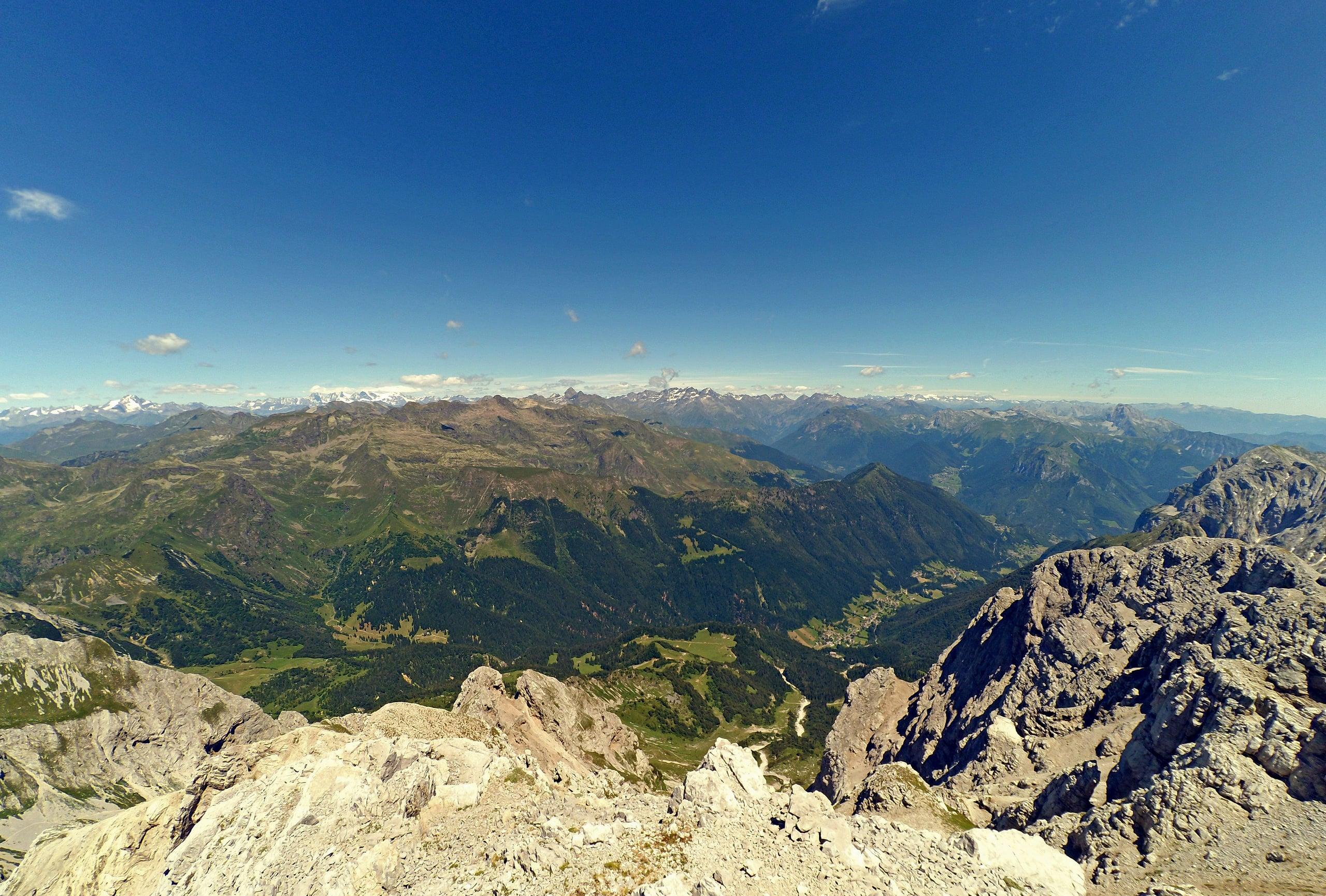
Photo: MatthewGhera · CC BY-SA 4.0
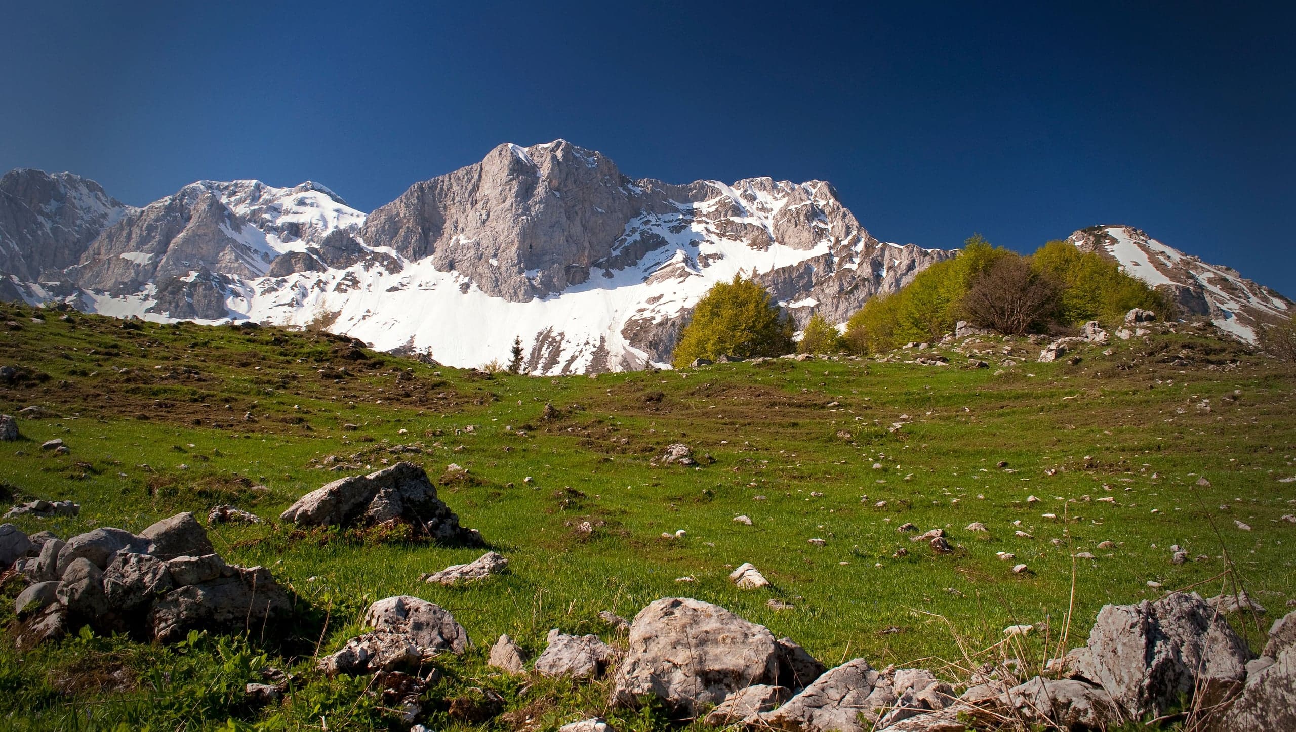
Photo: nucce · CC BY 2.0
The route step by step
From the Alpe Arera car park you walk up to the Capanna 2000 on the forestry road or on CAI trail 221, which cuts across the meadows on the left: both reach the hut, in less than an hour according to the regional hut portal and in about 45 minutes according to Wikipedia. Luca Gherardi, who started lower down at Plassa, took 1 h 30.
Just above the hut you climb through meadows and take the ridge, grassy at first, that rises to the right of the Val d'Arera; then the path turns rocky and very steep and zigzags over limestone, with red dots and stone cairns, to about 2,400 metres, just below the fore-summit. Here the route cuts right: you cross a slope that is partly grassy and partly rocky and carefully descend some twenty metres of steep scree to the bottom of a well-defined gully.
On the other side you enter a cleft in the rock climbed with metal steps, a short ladder and fixed chains; Luca Gherardi describes a section protected with a metal rope that you climb using your hands. Beyond the gully the path zigzags up loose rock and rocky steps, sometimes using your hands, to the summit cross. The descent is by the same route. From the hut to the top the regional portal allows 1 h 20 in its list of ascents, an hour and a half in the hut's description.
Getting to the start and where to park
From Bergamo you drive up the Brembana valley to Zogno and take Val Serina, or come from the Seriana valley via Ponte Nossa and the Colle di Zambla. In Zambla Alta, at the start of the village, a sign points left to a minor road that descends gently to the Camping Arera at Plassa, at about 1,200 metres: there is free parking here, and it is the starting point when the upper road is closed.
In summer and without snow you continue on the steep road to the Alpe Arera car park, at 1,600 metres, below the old ski lifts and next to the Rifugio SABA. It is paid, €4 for all vehicles: in a notice of July 2024 the municipality asks drivers to buy the ticket before the climb at the parking meters in Plassa, opposite the apartment blocks, or in participating shops, and to display it.
Starting from Plassa makes the outing much bigger: Luca Gherardi gives about 1,300 metres of ascent, 3 h 45 up and 5 kilometres to the summit. When the SP27 road of Val Serina is closed, as happened from 28 August to 1 October 2026 because of the landslide at Rosolo di Algua, traffic from the Brembana side goes via Costa Serina; alternatively you come up from the Seriana valley over the Colle di Zambla.
The protected gully and the real dangers
The protected section is short: Prima Bergamo describes it as easy and Wikipedia grades it I, while for VieNormali it is still the technically hardest part of the climb. The real dangers are two others. The first is the gravel and loose stones over the whole section above the hut, where a slip is always possible, above all on the way down, as the G.S. Marinelli points out. The second is stonefall in the gully, set off by people above: Luca Gherardi urges those climbing in groups not to send stones down on whoever follows.
For Prima Bergamo all the paths to the summit are for experienced hikers, and the reference for the state of the trails remains CAI Bergamo. With wet rock, fog or snow the gully and the loose rock change character: with snow or ice the passage requires mountaineering equipment and experience, and in winter the road to 1,600 metres cannot be used.
Variants: east ridge, north side and the loop from the Forcola di Valmora
The regional hut portal describes two alternative ascents from the Capanna 2000. The north route, 2 hours and 550 metres, «very difficult», takes the upper path of the 244 to the Mandrone and climbs meadows and rocks to the start of the path to the summit: it is not protected, has one passage now without chains and sections of crumbly rock. Wikipedia describes it from Passo di Corna Piana, with a steep gully once fitted with chains of which only the anchor bolts remain.
The east ridge, 2 h 30 and 550 metres, «fairly difficult», follows the 244 to the right as far as the Forcola di Valmora and from there climbs the ridges to the summit, passing the mountain rescue relay mast: it is little frequented and, according to the hut, chamois are often seen. The G.S. Marinelli walked it as a loop on 1 August 2024, descending by the normal route: 1,100 metres of ascent, 10 kilometres, 6 hours, EE, with four chain sections on the 244 and a climb up steep, poorly marked meadows to the red or blue dots of the Maga race route. Finally, Prima Bergamo mentions the west ridge, known as the Cresta della Luna, reserved for mountaineers, with grade II and III climbing.
From Roncobello you can reach the summit by walking up from the Baite di Mezzeno, accessible by car on a toll road, to Passo Branchino and following the Sentiero dei Fiori to the Capanna 2000, where you join the normal route. It is a long itinerary that Wikipedia and Prima Bergamo suggest splitting over two days with a night at the hut.
What you can see from the summit
Wikipedia lists the whole Orobie arc from the top: Resegone, Grigne, Pizzo dei Tre Signori, Monte Legnone, Pegherolo, Corno Stella, Pizzo del Becco, Pizzo del Diavolo di Tenda, Pizzo Scais, Redorta, Coca, Torena, Recastello and Presolana. Further away Monte Rosa and the Matterhorn, Badile, Cengalo, Disgrazia and the Bernina and Adamello groups; close by to the south, Grem, Alben and Menna.
Luca Gherardi describes it by compass point: to the north the Valtellina glaciers with Disgrazia and Badile, to the east the Presolana and the peaks of the Seriana valley, to the south the walls of the Alben, the Grem and in the distance the Bergamo plain, to the west the Cima di Menna, the Grigne, the Resegone and behind them Monte Rosa. The hut portal adds, on the clearest days, the Apennines to the south.
The summit cross and the first ascents
The cross was placed on 7 September 1958 at the initiative of the Coca mountaineering club of Colognola. In 2019 Prima Bergamo reported that since the previous September a commemorative bell has been fixed to it, blessed in the church of Zambla Alta and engraved by hand, with hammer and anvil, in the forges of Zorzone.
The first recorded ascent dates from 1 June 1875, by the guide Antonio Baroni and Emilio Torri, a climber of CAI Bergamo; the first winter ascent was on 8 March 1879, by Luigi Albani, Giuseppe Nievo and Baroni himself. These are the dates given by Wikipedia, which cites Angelo Gamba's biography of Baroni.
The Arera underground: the karst abysses
The Abisso dei Due Increduli was discovered in September 2002 by the Le Nottole caving group of Bergamo and within a year passed 500 metres of depth, a provincial record; in summer 2004 exploration reached a sump at 623 metres and today the group gives 634 metres of depth and over 2 kilometres of passages.
In 2009 a new passage linked the abyss to the Laca di Müradei: the system measures about 3,300 surveyed metres and the junction point, 433 metres below the Increduli entrance, is the deepest ever recorded in the Bergamo area. Wikipedia also mentions the «La Dolce Vita» abyss, 485 metres. These caves are reserved for cavers, as Prima Bergamo stresses: nothing of them can be seen from the path.
In detail
Times and elevations on the normal route
| Stage | Elevation | Time from the start | Notes |
|---|---|---|---|
| Alpe Arera car park | 1,590-1,600 m | — | €4 ticket; road open in summer and when free of snow |
| Capanna 2000 hut | 1,960 m | Under 1 h (regional portal); 45 min (Wikipedia) | Last place for water and refreshments |
| Below the fore-summit | about 2,400 m | — | Traverse right and descend some twenty metres of scree |
| Protected gully | — | — | Metal steps, short ladder and chains, grade I |
| Summit of the Pizzo Arera | 2,512 m | 2 h 30 (VieNormali, Wikipedia); about 3 h (Gherardi) | 1958 cross; from the Capanna 2000 1 h 20 according to the hut |
Car park elevation: 1,590 m for VieNormali, 1,600 m for the municipality. Descent by the same route: VieNormali gives about 4 hours in all.
Practical tips
Before you set off
- Buy the €4 ticket in Plassa before driving up and leave it visible on the dashboard.
- Above the hut follow the red dots and cairns: off the path the south ridge is all loose rock.
- In the gully keep your distance from those ahead and do not dislodge stones: a helmet is not excessive on busy days.
- The Capanna 2000 is the last place to buy water and drinks: beyond it there is nothing until the summit.
- On the way down slow down on the loose rock below the fore-summit, where slips are most frequent.
- To split the outing you can sleep at the Capanna 2000 and set off for the summit early in the morning.
Grade EE. EE, Experienced hikers: rough terrain, exposed sections or short aided passages; requires a sure foot and no vertigo.
FAQ
Frequently asked questions: Pizzo Arera (2,512 m) by the south normal route
How long does it take to climb the Pizzo Arera?
From the Alpe Arera car park VieNormali gives 2 h 30 up for 922 metres of ascent and about 4 hours in all, descent included; Luca Gherardi took about 3 hours. From the Capanna 2000 hut the regional portal allows 1 h 20 to the summit. Starting from Plassa, without the toll road, you reach about 1,300 metres of ascent and 3 h 45 up.
Is the normal route up the Pizzo Arera dangerous?
It is an EE climb. Below the fore-summit, at about 2,400 metres, you descend some twenty metres of scree and climb a gully with metal steps and chains, a grade I move. The main risk is slipping on gravel and knocking stones onto people climbing below: in rain, fog or snow it is wise to turn back.
Where do you park for the Pizzo Arera and how much does it cost?
At the Alpe Arera car park, at about 1,600 metres above Plassa, Zambla Alta: the municipality charges a €4 ticket for all vehicles, bought before the climb at the parking meters in Plassa or in participating shops. The road is open in summer and when free of snow; in other months you start from Plassa, where there is free parking near the Camping Arera.
What can you see from the summit of the Pizzo Arera?
All the Orobie, from the Resegone and the Grigne to the Presolana, by way of Pizzo dei Tre Signori, Diavolo di Tenda, Redorta and Coca; further away Monte Rosa, the Matterhorn, Badile, Disgrazia, Bernina and Adamello. To the south you see Grem, Alben and Menna close by and, on clear days, the Apennines.
Who first climbed the Pizzo Arera?
The first recorded ascent was on 1 June 1875, by the guide Antonio Baroni and Emilio Torri of CAI Bergamo. The first winter ascent was on 8 March 1879, by Luigi Albani, Giuseppe Nievo and Antonio Baroni again.
When was the cross placed on the Pizzo Arera?
On 7 September 1958, at the initiative of the Coca mountaineering club of Colognola. Since September 2018 a commemorative bell has been fixed inside the cross, blessed in Zambla Alta and engraved by hand in the forges of Zorzone.
Are there other routes up the Pizzo Arera besides the normal one?
Yes, all more demanding: the east ridge from the Forcola di Valmora, little frequented; the north route from the Mandrone or Passo di Corna Piana, without chains and with crumbly rock; the west ridge, known as the Cresta della Luna, for mountaineers, with grade II and III climbing.
Can you sleep near the Pizzo Arera?
The base is the Capanna 2000 hut, at 1,960 metres on the normal route, with 25 beds according to the regional portal: sleeping there lets you start early and split the outing over two days. Bookings on 0345 95096.
Sources
- Comune di Oltre il Colle – ordinanza del sindaco n. 39/2026, chiusure temporanee con movieri della strada Plassa/Arera 1600 dal 5 ottobre al 18 dicembre 2026 · www.comune.oltreilcolle.bg.it · accessed on 1 October 2026
- VieNormali – Pizzo Arera via normale (relazione di Matteo G., 2011, rivista dalla redazione nel 2017) · www.vienormali.it · accessed on 1 October 2026
- Wikipedia – Pizzo Arera (accessi, panorama, prime salite, abissi) · it.wikipedia.org · accessed on 1 October 2026
- Wikidata – Pizzo Arera (quota 2.512 m, prominenza 691 m) · www.wikidata.org · accessed on 1 October 2026
- OpenStreetMap – vetta del Pizzo Arera (nodo 26864315) · www.openstreetmap.org · accessed on 1 October 2026
- Rifugi di Lombardia (Regione Lombardia) – Rifugio Capanna 2000: ascensioni al Pizzo Arera · www.rifugi.lombardia.it · accessed on 1 October 2026
- Luca Gherardi – Pizzo Arera da Zambla (escursione di settembre 2022) · lucagherardi.com · accessed on 1 October 2026
- Prima Bergamo – Tutte le strade che portano al Pizzo Arera (20/08/2019): croce, varianti, abissi · primabergamo.it · accessed on 1 October 2026
- Prima Bergamo – Inerpicandosi tra due valli fino alla vetta del Pizzo Arera (13/08/2025) · primabergamo.it · accessed on 1 October 2026
- Comune di Oltre il Colle – Ticket Arera 1600 (avviso del 17/07/2024) · www.comune.oltreilcolle.bg.it · accessed on 1 October 2026
- CAI Bergamo, geoportale – sentiero 221 Zambla / Capanna 2000 · www.caibergamo.it · accessed on 1 October 2026
- G.S. Marinelli – Pizzo Arera e Sentiero dei Fiori (anello per la cresta est, 1° agosto 2024) · www.gsmarinelli.it · accessed on 1 October 2026
- Gruppo Speleologico Bergamasco Le Nottole – sistema carsico Abisso dei Due Increduli – Laca di Müradei · www.nottole.it · accessed on 1 October 2026
- Maga Skymarathon – Menna, Arera, Grem e Alben · www.magaskymarathon.it · accessed on 1 October 2026
- Valbrembanaweb – Val Serina, dopo un mese riaperta la provinciale (01/10/2026) · valbrembanaweb.com · accessed on 1 October 2026
Page verified on
Nearby
More pages from around here
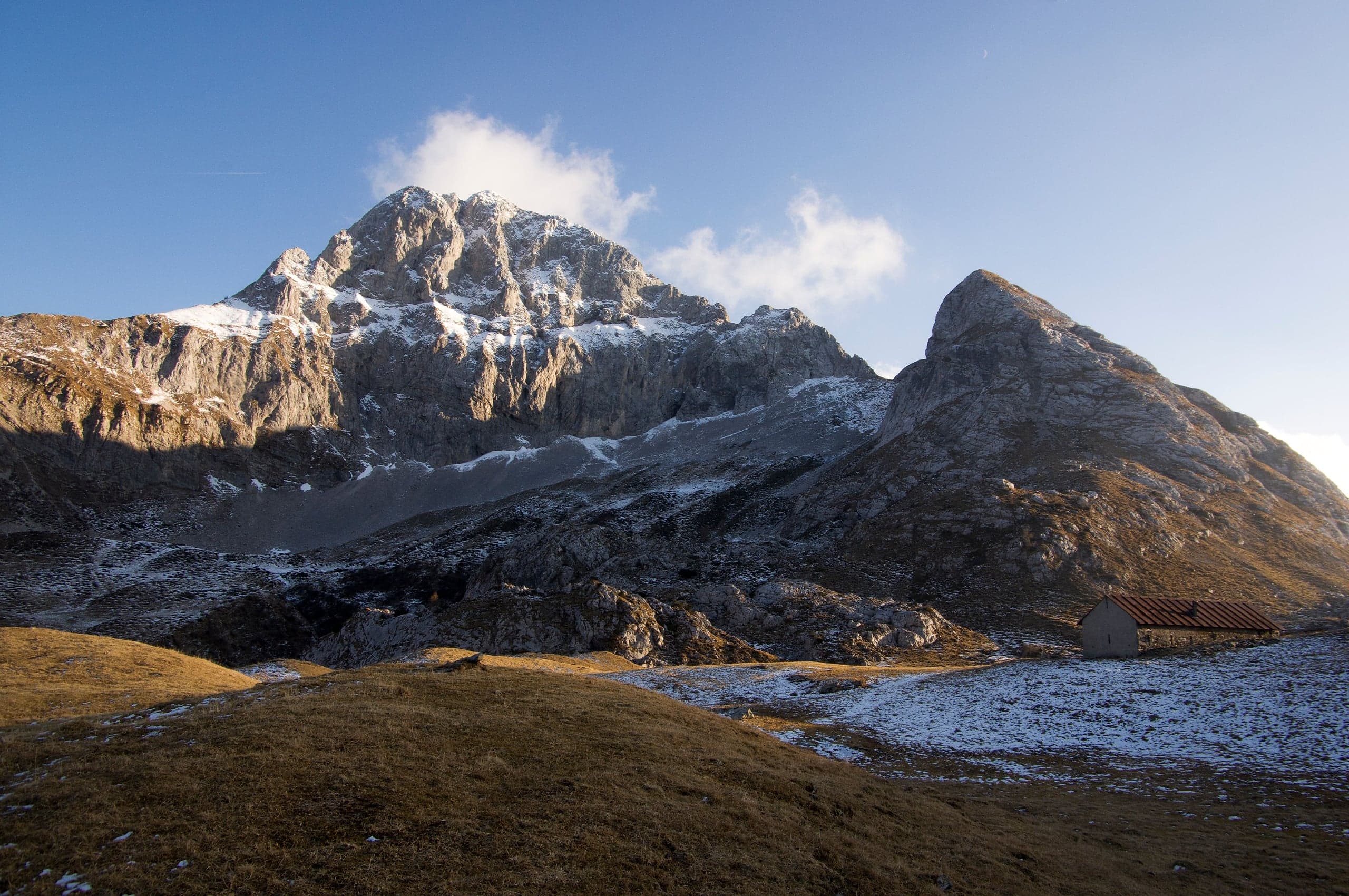
Hikes · 2 minutes
Sentiero dei Fiori “Claudio Brissoni”
Sentiero dei Fiori Claudio Brissoni: a CAI loop of about 3 hours from the Capanna 2000 to Passo Branchino, 1,821–2,078 m, on the flowering slopes of the Arera.
Summits · 2 minutes
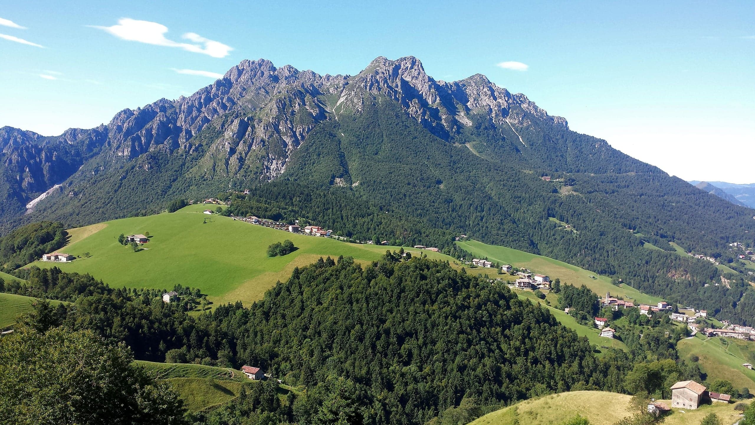
Monte Alben (2,019 m) from the Colle di Zambla
Monte Alben, 2,019 m, from the Colle di Zambla on CAI trail 501: 750 m and 2 h 15 via the Col dei Brassamonti, Passo della Forca and the final EE ridge.
Mountain huts · 2 minutes
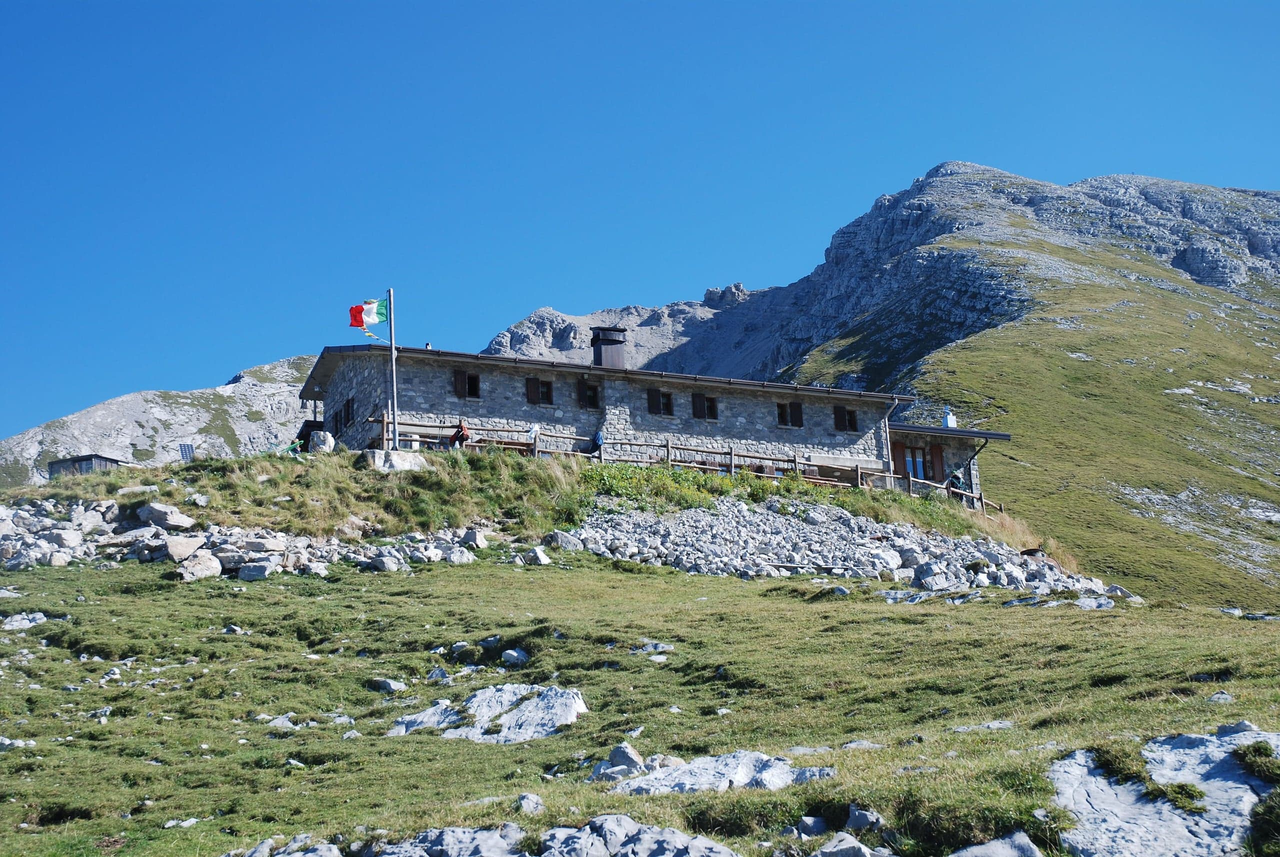
Capanna 2000 hut
Capanna 2000 hut, 1,960 m below the Pizzo Arera: owned by Oltre il Colle, 25 beds, an hour from the Alpe Arera car park. Opening periods, booking and contacts.
Winter · 2 minutes
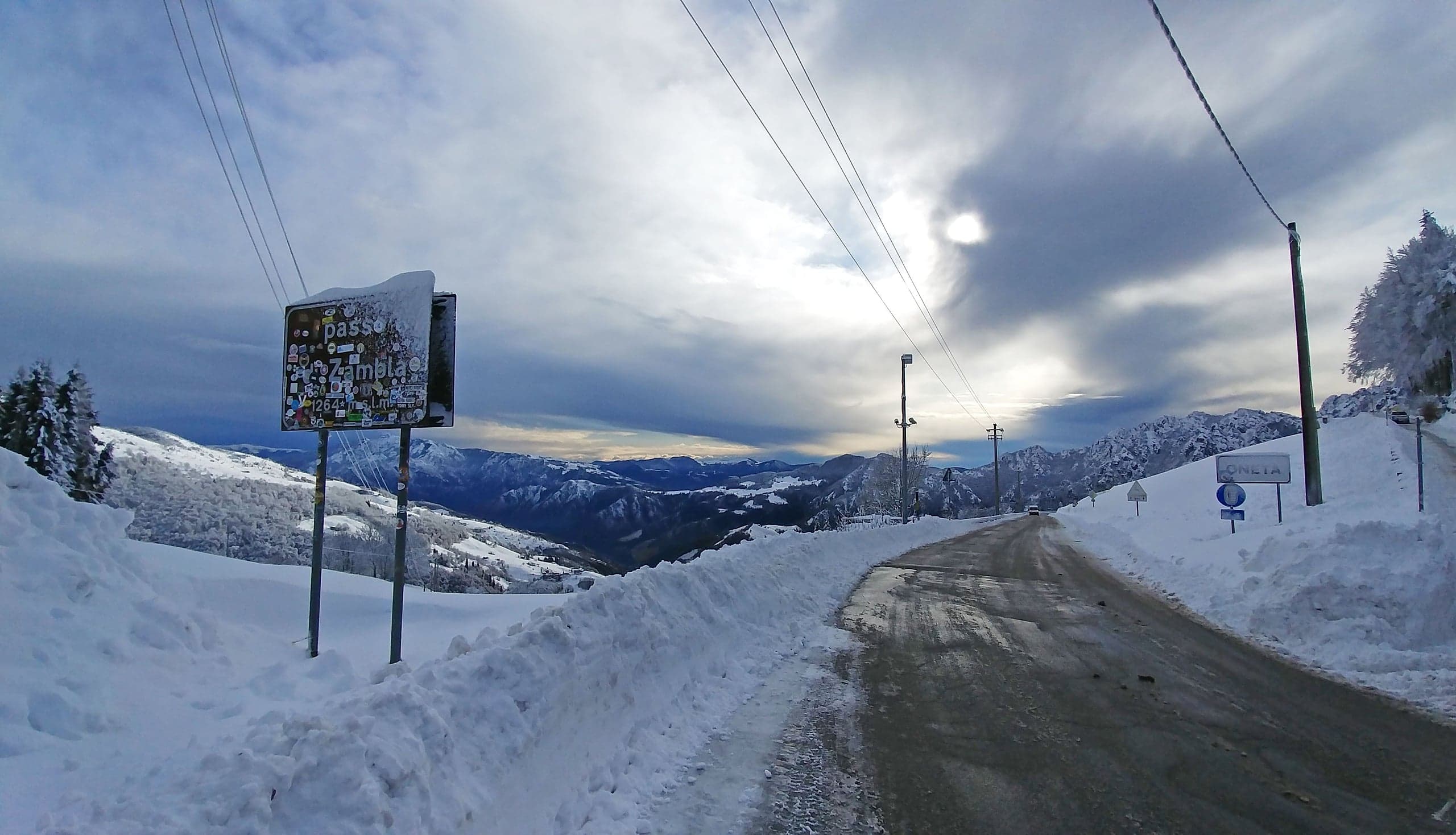
Cross-country skiing at the Colle di Zambla
Cross-country skiing at the Colle di Zambla: 16 km of tracks below the north face of the Alben, 1,290–1,420 m, classic and skating, with a floodlit section.