Hike · Zambla Alta · Oltre il Colle
Sentiero dei Fiori “Claudio Brissoni”
Sentiero dei Fiori Claudio Brissoni: a CAI loop of about 3 hours from the Capanna 2000 to Passo Branchino, 1,821–2,078 m, on the flowering slopes of the Arera.
Notice
Only for those extending onto the full CAI 244 circuit: since 31 May 2026 CAI Bergamo reports that some anchors of the chain below the Forcola di Valmora have come away from the rock. The classic Sentiero dei Fiori loop does not go that way. From 5 October to 18 December 2026, between 8.00 and 17.00, the Plassa–Alpe Arera road has temporary closures managed by flaggers during logging work at Grumello (mayor's order no. 39/2026, which may be extended): allow for waits, or walk up from Plassa.
The Sentiero dei Fiori is the botanical loop on the western slopes of the Pizzo Arera between the Capanna 2000 hut and Passo Branchino, almost entirely within the municipality of Oltre il Colle. It has no single number: CAI Bergamo gives the name to a combination of part of trail 244, trail 218 from Passo Branchino to the Mandrone and part of trail 222, and grades it E, a standard hiking path. For the Orobie Bergamasche Park it is a loop that stays between 1,821 and 2,078 metres, with panels along the way explaining the plants and habitats.
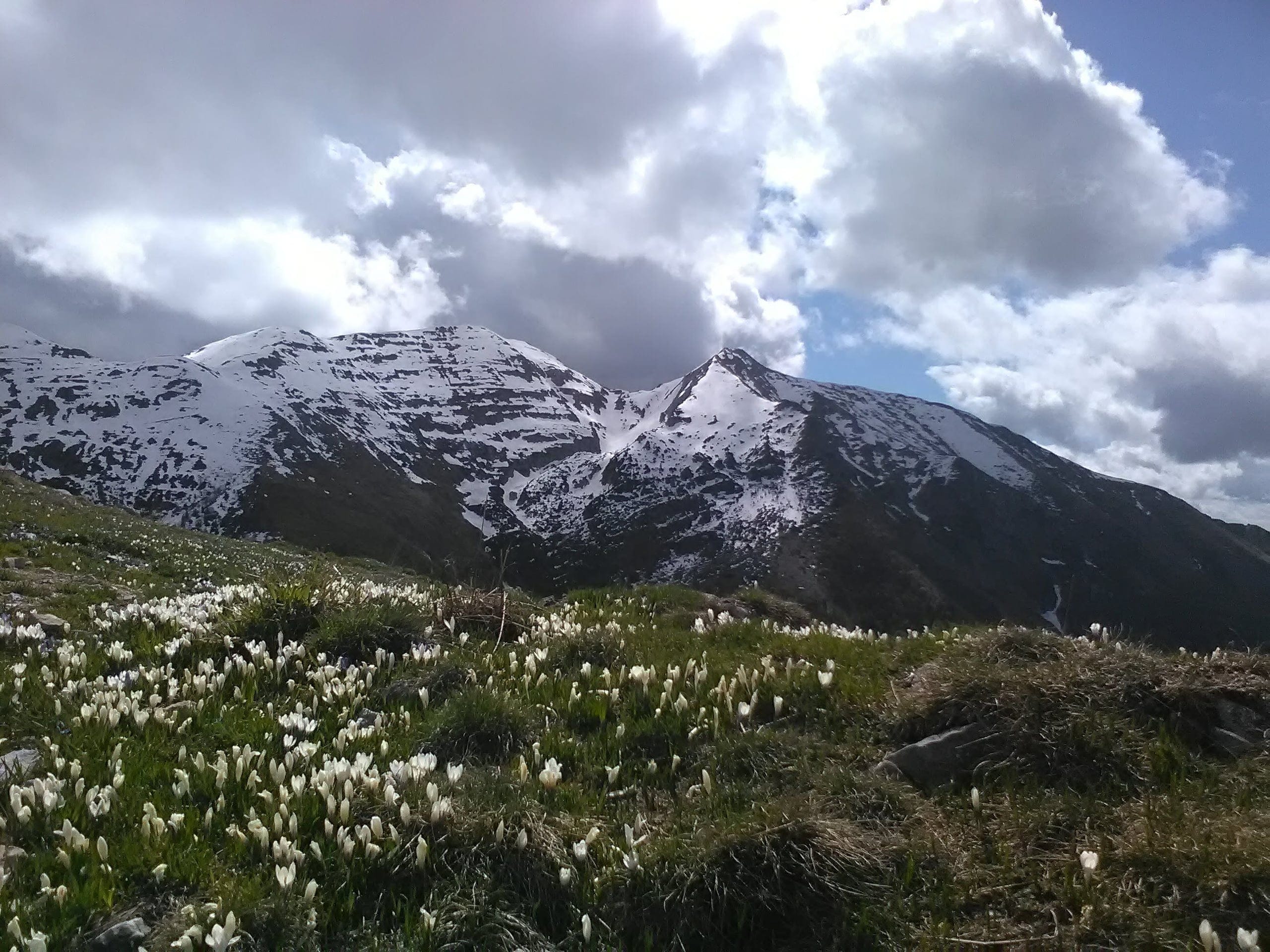
People come for the flora. The Arera massif is home to narrow endemics, species found nowhere else, and two of them were described for the first time on these very slopes: Linaria tonzigii, published by F. Lona in 1949, and Galium montis-arerae, the Pizzo Arera bedstraw, described in 1957 by H. Merxmüller and F. Ehrendorfer. According to the Park, July is the month with the greatest number of flowers.
The name honours Claudio Brissoni, the botanist who from the 1960s studied the flora of the Arera systematically and identified the stretch between the Capanna 2000 and Passo Branchino as the richest in rarities. He died in 2003 and the following year the municipality of Oltre il Colle named the trail after him. The loop takes about 3 hours according to the hut, which gives it 500 metres of total ascent, and is a little over 7 kilometres long according to Wikipedia.
It should not be confused with the full circuit of the Pizzo Arera, CAI trail 244, which goes all the way round the mountain via the Forcola di Valmora: that one is graded EE, has chain-protected sections on the south side and is described below as a variant.
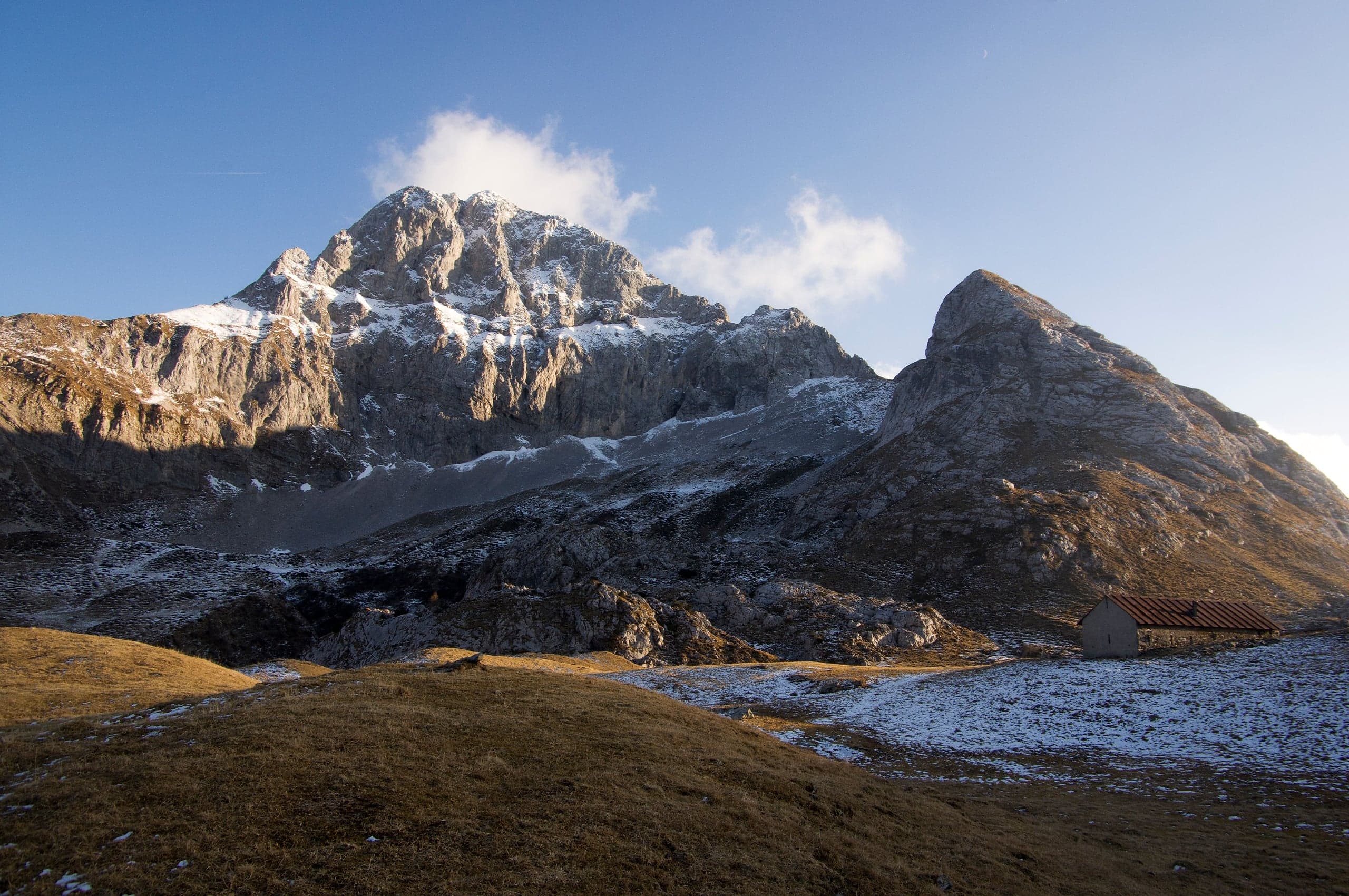
Photo: Stetteo · CC BY-SA 4.0
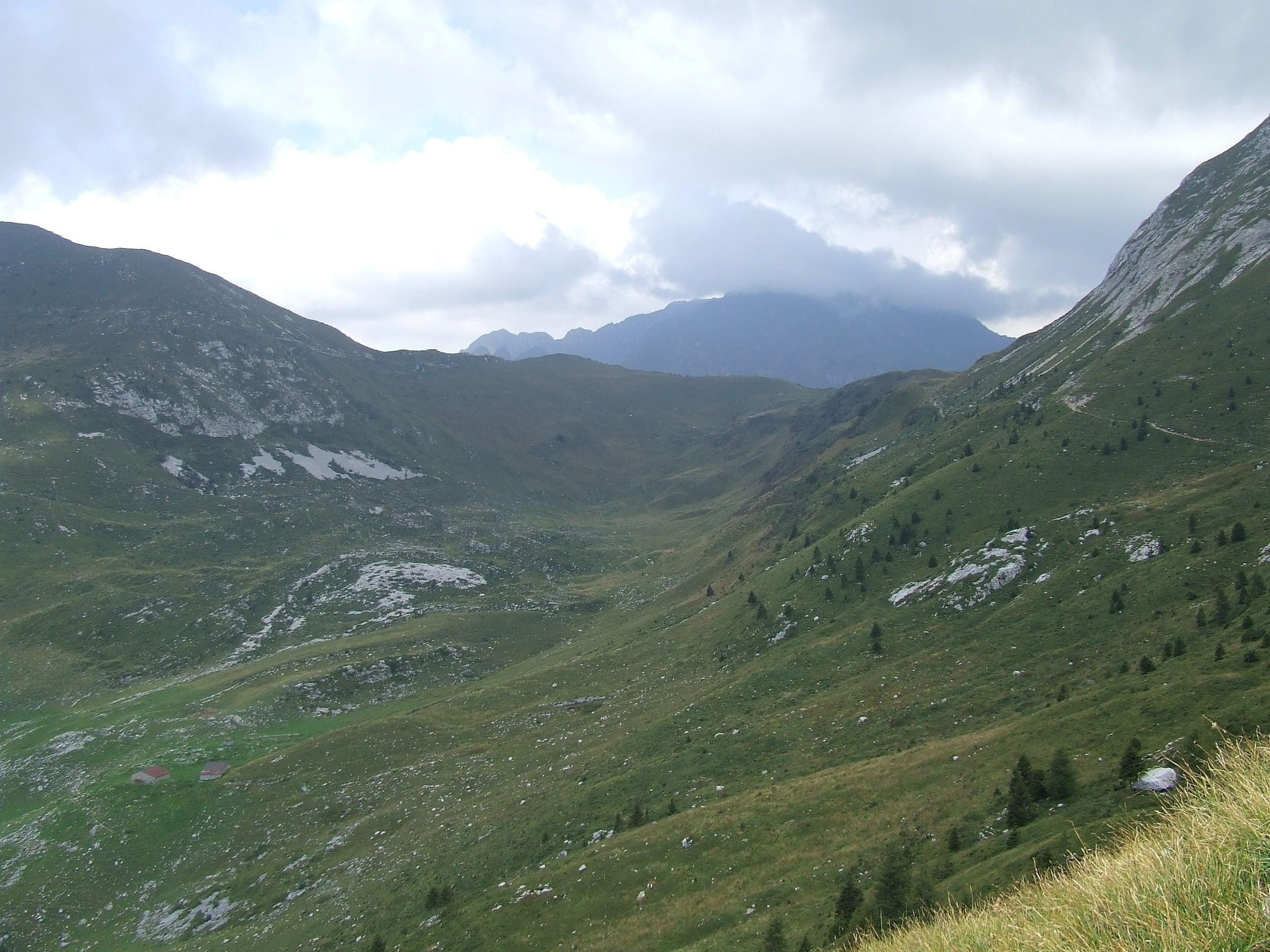
Photo: Ago76 · Public domain
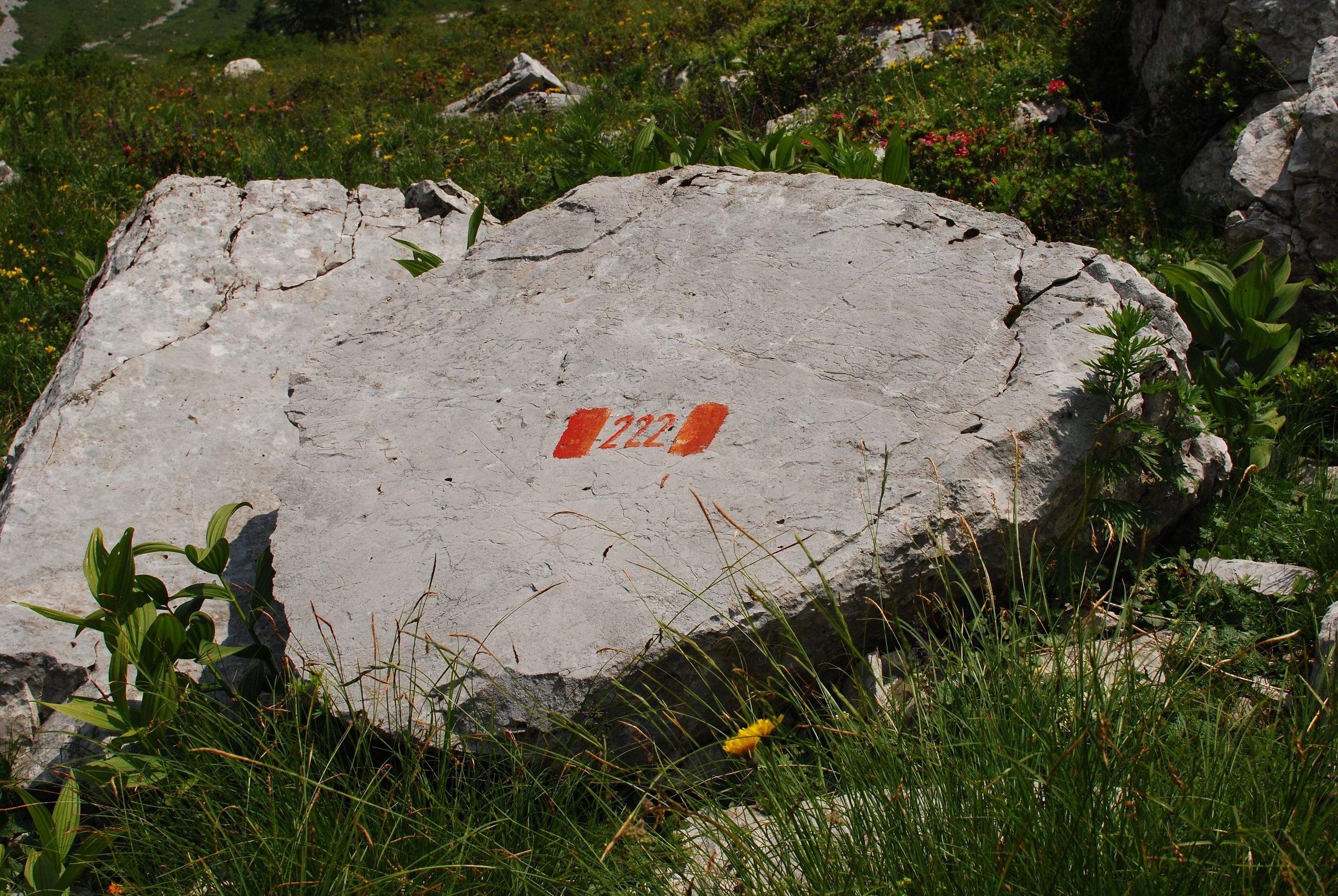
Photo: Matteo (diablomilanese) · CC BY 2.0
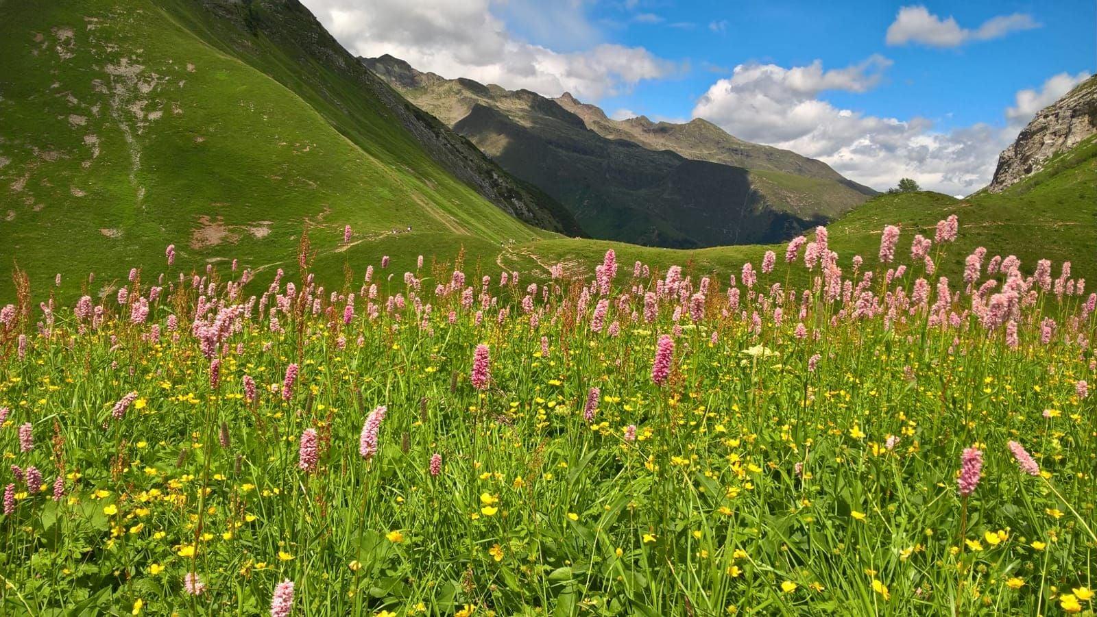
Photo: Matteo Belotti · CC BY-SA 4.0
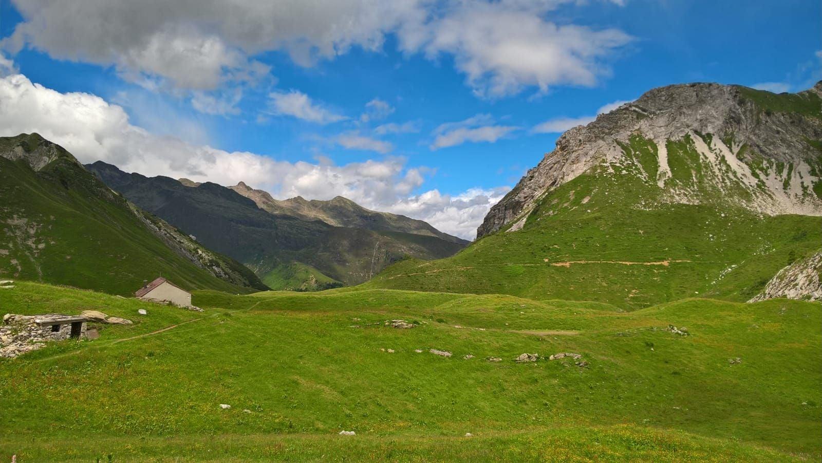
Photo: Matteo Belotti · CC BY-SA 4.0
The route step by step
From the Capanna 2000, at 1,960 metres according to the CAI, you climb north for a few minutes on the path to the summit, then bear left onto trail 244, which the hut calls the upper path. You cross the Val d'Arera, a slope of rock debris where the first flowers appear, and gain height below the cliffs to Passo Gabbia: 2,050 metres for the Park, about 2,060 for the CAI.
From the pass a short descent leads into the Mandrone, the glacial hollow enclosed between the Corna Piana and the Pizzo Arera. At the junction with trail 218, at about 2,050 metres, the circuit continues right towards Passo di Corna Piana; the Sentiero dei Fiori instead takes the 218 to the left up to the Bocchetta di Corna Piana, 2,078 metres, the highest point of the loop. From there you descend over scree and loose rock to Passo Branchino, 1,821 metres, with the lake just below on the Valcanale side.
The return is on trail 222, the hut's lower path: it traverses the hillside above the head of the Val Vedra with continual ups and downs, crosses the pastures of the Baita Branchino (1,836 metres, where trail 231 arrives from Zorzone), passes the Val d'Arera again and joins trail 221 at the signpost just below the hut, at about 1,935 metres. For this section, walked from the pass to the Capanna 2000, the CAI allows 1 h 30.
Getting to the Capanna 2000 and where to park
The loop starts at the hut, which is reached from Zambla Alta: at the start of the village a sign points left to Plassa, from where a steep road climbs to the Alpe Arera car park, at about 1,600 metres, below the old ski lifts and next to the Rifugio SABA Cà d'Arera. Parking is paid: the municipality charges a €4 ticket for all vehicles, to be bought before the climb at the parking meters in Plassa, opposite the apartment blocks, or in participating shops, and displayed clearly.
From the car park the Capanna 2000 is less than an hour away, on CAI trail 221 or on the farm track, which is longer but less steep. The road up to 1,600 metres is used in summer and when free of snow; in the other months the CAI gives Plassa as the starting point, near the Camping Arera, at about 1,150 metres, from where the hut takes 1 h 50 and about 900 metres of ascent according to the regional hut portal.
Those coming from the Seriana valley or from Roncobello join the loop at Passo Branchino: from Valcanale di Ardesio on trails 220 and 218 via the Alpe Corte hut, from the Baite di Mezzeno on trail 219. The Park calls these two approaches the Butterfly Trail, because they cross meadows and pastures well suited to watching butterflies and moths.
Which flowers you see, and when
The Orobie Bergamasche Park names July as the month with the most species in flower; the CAI considers trail 244 walkable from May to October. Among the endemics listed by the Park are the Bergamo toadflax, which the hut regards as the trail's emblem flower, the Pizzo Arera bedstraw, the Presolana saxifrage, the Concarena sandwort and the Orobie burnet. Wikipedia adds more widespread species such as edelweiss, Elisabeth's catchfly, Duby's violet, alpine poppy and alpine thrift, and in spring crocuses flowering on the meadows.
Habitats change within a few dozen metres. On the steep slopes towards the ridges the Park describes patchy grassland of firm sedge, which forms compact cushions and arrives after pioneers such as mountain avens and blue saxifrage. Lower down, towards the Val Vedra and Lake Branchino, the soils are more developed and the pastures richer, with mat-grass and purple gentian. On the scree grow plants with runners and deep roots, able to renew themselves as the debris slowly slides downhill.
- Linaria tonzigii, Bergamo toadflax: described on the Arera in 1949
- Galium montis-arerae, Pizzo Arera bedstraw: described in 1957
- Saxifraga presolanensis, Presolana saxifrage
- Moehringia concarenae, Concarena sandwort
- Sanguisorba dodecandra, Orobie burnet
- Carex firma, firm sedge: the green cushions of high-altitude grassland
Butterflies and animals: the Butterfly Trail
The Park has paired the Sentiero dei Fiori with a Butterfly Trail because the lean meadows on limestone, grazed by a few animals and mown without fertiliser, are home to many species of butterflies and moths. The most remarkable case is Scythris arerai, a tiny moth that lives only on the Arera massif: discovered in the 1990s, it was formally described in 2000. On the same days you may see Erebia pandrose, a butterfly now confined to high altitudes which during the ice ages lived over much larger areas.
As for mammals, the G.S. Marinelli group that walked the loop on 1 August 2024 watched chamois with their young grazing, and the hut mentions the chance of meeting them on the east ridge of the Arera too. For the Park, the abandonment of grazing, followed by the advance of the forest, is a threat to these meadows and to the butterflies that live in them.
The full circuit of the Pizzo Arera (CAI 244, EE)
Those who want to go all the way round the mountain stay on the 244 beyond the Mandrone: from the junction with the 218 it climbs to Passo di Corna Piana, 2,133 metres, descends briefly, leaves the 218 to the left and runs along the foot of the north face to the gully of the Forcola di Valmora. The last climb crosses scree and a band of rock with an exposed section; from the col, 1,994 metres for the CAI and 1,966 on the OpenStreetMap map, you return across the south side with ups and downs to the Capanna 2000.
CAI Bergamo gives about 7.4 kilometres, 400 metres of ascent and the same of descent, altitudes between 1,730 and 2,150 metres, grade EE and 3 hours; the hut instead gives 5 hours and 703 metres. On the south side the G.S. Marinelli flyer counts four chain-protected sections, while the report of the same outing mentions chains in two rocky gullies. Since 31 May 2026 the CAI reports that some anchors of the chain below the Forcola di Valmora have come away from the rock and urges caution.
Who Claudio Brissoni was and how the trail began
Botanists have been interested in the Arera for a long time. The Park recalls the Bergamo pioneers L. Rota and E. Rodegher and above all the excursion of G. B. Traverso, professor of botany at the University of Padua, who in 1908 published the booklet «Una salita botanica al Pizzo Arera». In 1912 P. Chenevard cited Arera species in the «Florula di Roncobello»; in 1949 F. Lona described Linaria tonzigii and in 1957 H. Merxmüller and F. Ehrendorfer Galium montis-arerae, which therefore have their locus classicus here, the place of their first description.
Claudio Brissoni took up that research in the 1960s and 1970s: he had Traverso's booklet republished in the 1975 yearbook of CAI Bergamo and, with other enthusiasts, identified the area between the Capanna 2000 and Passo Branchino as the one with the highest concentration of endemics. The first description of the Sentiero dei Fiori appeared in the 1979 CAI Bergamo yearbook; in 1987 the route was recognised by the Environmental Education Centre of the Lombardy Region.
On 6 September 1987 Brissoni gathered enthusiasts, organisations and institutions at the Alpe Arera to propose an association devoted to the wild flora of the Bergamo mountains: so the Flora Alpina Bergamasca group was born, formally constituted on 17 October that year, and he was its first president until 1999. He died in 2003 and in 2004 the municipality named the trail after him; the Park's page also mentioned a permanent exhibition on the Sentiero dei Fiori at the Capanna 2000.
When to go and what to pack
The CAI recommends May to October for the 244 and April to October for the 218 and 222; the traverse of the 222 faces north, so early in the season it is worth asking at the hut whether snow patches remain. For the peak of the flowering, July is still the reference. The CAI recommends boots and high-mountain clothing: you walk above 2,000 metres, over the rock debris of the Val d'Arera and down the loose descent from the Bocchetta di Corna Piana.
Along the loop the only support point apart from the Capanna 2000 is the small Rifugio Lago Branchino, on the Valcanale side a few minutes from the pass: for the 2026 season its blog gave it as open on Saturdays and Sundays in September and October. Many species can be seen without leaving the path, as the G.S. Marinelli noted: that is the right way to observe them, because several are rare or found only on this massif.
In detail
Stages of the loop
| Stage | Elevation | Trail | Notes |
|---|---|---|---|
| Capanna 2000 hut | 1,960 m | 244 | Climb north for a few minutes, then left onto the upper path |
| Val d'Arera | — | 244 | Rock debris and the first flowers |
| Passo Gabbia | 2,050 m (Park); about 2,060 m (CAI) | 244 | Short descent into the Mandrone |
| Mandrone, junction with the 218 | about 2,050 m | 244 / 218 | Left on the 218; the circuit continues right |
| Bocchetta di Corna Piana | 2,078 m | 218 | Highest point of the loop, then a descent over loose rock |
| Passo Branchino | 1,821 m | 218 / 222 | The lake lies just below, at 1,784-1,787 m |
| Baita Branchino | 1,836 m | 222 | Trail 231 arrives from Zorzone |
| Back at the Capanna 2000 | 1,960 m | 222 / 221 | 1 h 30 from Passo Branchino according to the CAI |
Elevations from CAI Bergamo and the Orobie Bergamasche Park. The whole loop takes about 3 hours according to the Capanna 2000 hut and the G.S. Marinelli.
Practical tips
Before you set off
- Buy the €4 ticket at the parking meters in Plassa before driving up and leave it on the dashboard: the car park at 1,600 metres is paid for all vehicles.
- The hut describes the loop going out on the upper path, the 244, and returning on the lower one, the 222: in this direction the loose section is the short descent from the Bocchetta di Corna Piana to Passo Branchino.
- Boots with a good sole: the Val d'Arera, the Mandrone and the descent to Passo Branchino are on rock debris.
- At Passo Branchino the few minutes down to the lake are worth it: it lies on trail 218, on the Valcanale side.
- Do not pick plants and stay on the path: several Arera species are rare or found only on this massif.
- Carry water for the whole loop: between the Capanna 2000 and the return there are no other huts on the way, except the Rifugio Lago Branchino, which is open only at certain times.
Grade E. E, Hiker: marked paths or tracks over varied terrain; requires fitness and proper footwear.
FAQ
Frequently asked questions: Sentiero dei Fiori “Claudio Brissoni”
How difficult is the Sentiero dei Fiori on the Arera?
CAI Bergamo grades the itinerary E, a standard hiking route: you need boots and a sure foot on the scree of the Val d'Arera and on the loose descent towards Passo Branchino, but there are no protected sections. The full circuit of the Pizzo Arera on trail 244, which passes the Forcola di Valmora with chains on the south side, is graded EE instead.
How long does the Sentiero dei Fiori loop take, and how long is it?
About 3 hours according to the Capanna 2000 hut and the G.S. Marinelli, for about 500 metres of total ascent as stated by the hut; Wikipedia gives a little over 7 kilometres. Altitudes stay between 1,821 metres at Passo Branchino and 2,078 metres at the Bocchetta di Corna Piana. Add the walk up from the Alpe Arera car park to the hut, about an hour according to the regional portal, and the walk back.
When is the best time to see the flowers on the Arera?
The Orobie Bergamasche Park names July as the month with the most flowers, while the CAI considers the trail walkable from May to October. In spring crocuses flower on the meadows. Early in the season it is worth asking at the hut whether the north-facing traverse of the 222 still has snow.
Where does the Sentiero dei Fiori start and where do you park?
At the Capanna 2000 hut, above Zambla Alta. By car you drive up from Plassa to the Alpe Arera car park, at about 1,600 metres, with a €4 ticket bought before the climb at the meters in Plassa or in participating shops; from there the hut is less than an hour away on CAI trail 221 or on the farm track.
What is the difference between the Sentiero dei Fiori and the circuit of the Pizzo Arera?
The Sentiero dei Fiori is the western loop between the Capanna 2000 and Passo Branchino, on trails 244, 218 and 222: grade E and about 3 hours. The circuit follows the whole of trail 244 round the mountain, via Passo di Corna Piana and the Forcola di Valmora, is graded EE and has chain-protected sections; the CAI gives 3 hours, the hut 5.
Who was Claudio Brissoni?
A Bergamo botanist who from the 1960s studied the flora of the Arera systematically and identified the stretch between the Capanna 2000 and Passo Branchino as the richest in endemics. In 1987, at the Alpe Arera, he launched the Flora Alpina Bergamasca group, which he chaired until 1999. He died in 2003 and in 2004 the municipality of Oltre il Colle named the trail after him.
Can you walk the Sentiero dei Fiori with children?
The sources present it as an easy loop, suitable even for non-experts, but you walk at around 2,000 metres over scree and down a loose descent: it is fine for children already used to the mountains and wearing boots. The full circuit, with chains on the south side, is not a family outing.
Are there huts along the Sentiero dei Fiori?
The base is the Capanna 2000, at the start and end of the loop. Halfway round, just below Passo Branchino on the Valcanale side, is the small Rifugio Lago Branchino, which in the 2026 season was open on Saturdays and Sundays in September and October: outside those days, set off with everything you need.
Sources
- Comune di Oltre il Colle – ordinanza del sindaco n. 39/2026, chiusure temporanee con movieri della strada Plassa/Arera 1600 dal 5 ottobre al 18 dicembre 2026 · www.comune.oltreilcolle.bg.it · accessed on 1 October 2026
- CAI Bergamo, geoportale – itinerario Sentiero dei fiori (sentieri 218, 244 e 222, difficoltà E) · www.caibergamo.it · accessed on 1 October 2026
- CAI Bergamo, geoportale – sentiero 244, periplo del Pizzo Arera, con l'avviso sulla catena della Forcola di Valmora (31/05/2026) · www.caibergamo.it · accessed on 1 October 2026
- CAI Bergamo, geoportale – sentiero 222 Capanna 2000 / Passo Branchino · www.caibergamo.it · accessed on 1 October 2026
- CAI Bergamo, geoportale – sentiero 218 Rifugio Alpe Corte / Baita GAN · www.caibergamo.it · accessed on 1 October 2026
- Parco delle Orobie Bergamasche (parks.it) – Sentiero dei fiori e delle farfalle · www.parks.it · accessed on 1 October 2026
- Parco delle Orobie Bergamasche – I Sentieri dei fiori e delle farfalle (pagina archiviata, 2014): storia, specie, accessi · web.archive.org · accessed on 1 October 2026
- Wikipedia – Sentiero dei fiori (Orobie) · it.wikipedia.org · accessed on 1 October 2026
- Rifugi di Lombardia (Regione Lombardia) – Rifugio Capanna 2000: Sentiero dei Fiori e periplo dell'Arera · www.rifugi.lombardia.it · accessed on 1 October 2026
- Flora Alpina Bergamasca – Storia e cariche (Claudio Brissoni e la nascita del FAB) · www.floralpinabergamasca.net · accessed on 1 October 2026
- Comune di Oltre il Colle – Ticket Arera 1600 (avviso del 17/07/2024) · www.comune.oltreilcolle.bg.it · accessed on 1 October 2026
- GBIF – Scythris arerai Huemer, 2000 · www.gbif.org · accessed on 1 October 2026
- G.S. Marinelli – Pizzo Arera e Sentiero dei Fiori (uscita del 1° agosto 2024) · www.gsmarinelli.it · accessed on 1 October 2026
- Rifugio Lago Branchino – blog (aperture stagione 2026) · rifugiobranchino.blogspot.com · accessed on 1 October 2026
- OpenStreetMap – Bocchetta di Corna Piana (nodo 429193793) e parcheggio di Alpe Arera (way 438563096): coordinate · www.openstreetmap.org · accessed on 1 October 2026
Page verified on
Nearby
More pages from around here
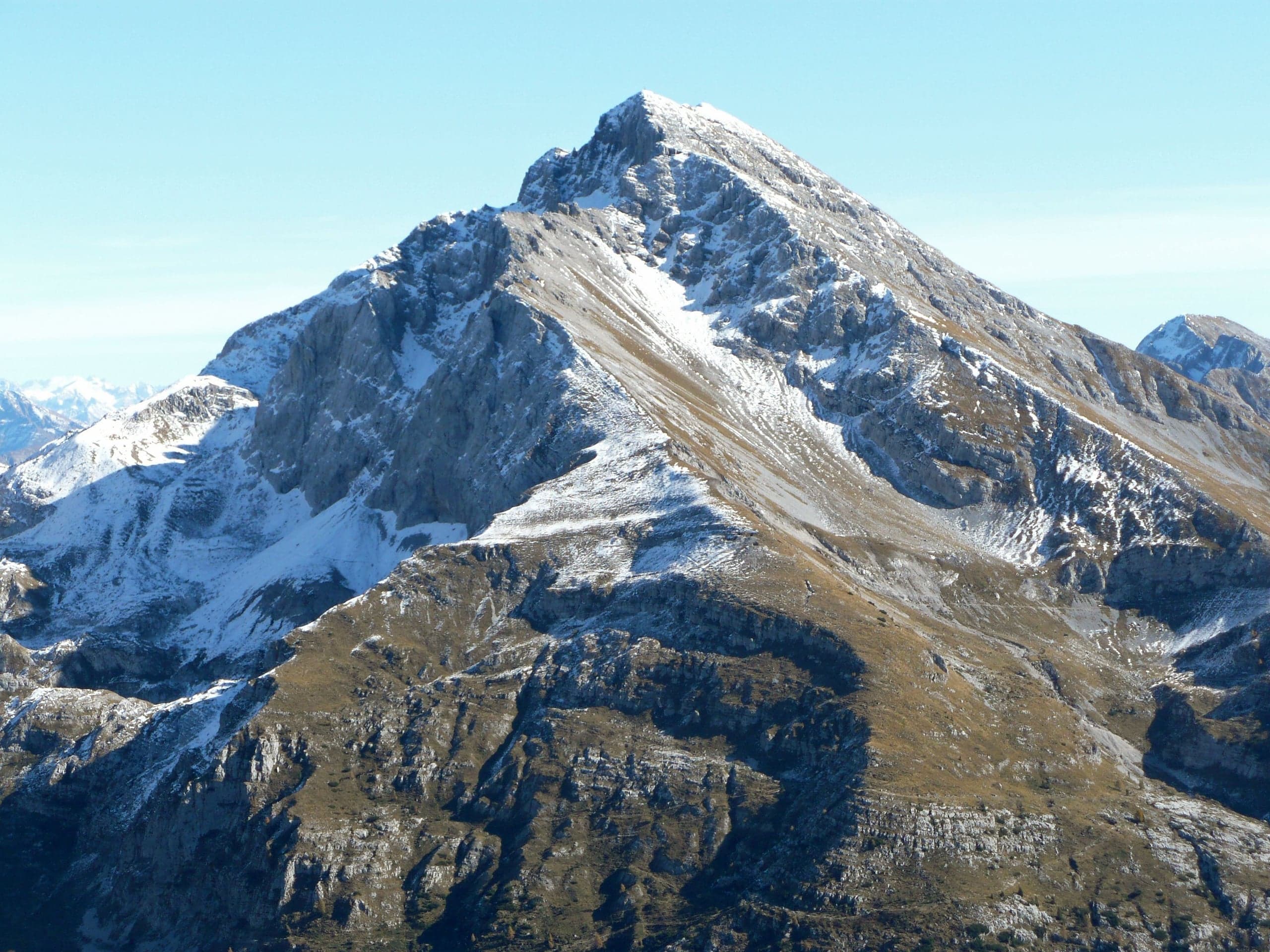
Summits · 2 minutes
Pizzo Arera (2,512 m) by the south normal route
Pizzo Arera, 2,512 m, by the south normal route: from the Alpe Arera car park 922 m of ascent and about 2 h 30, with a protected gully just below the summit.
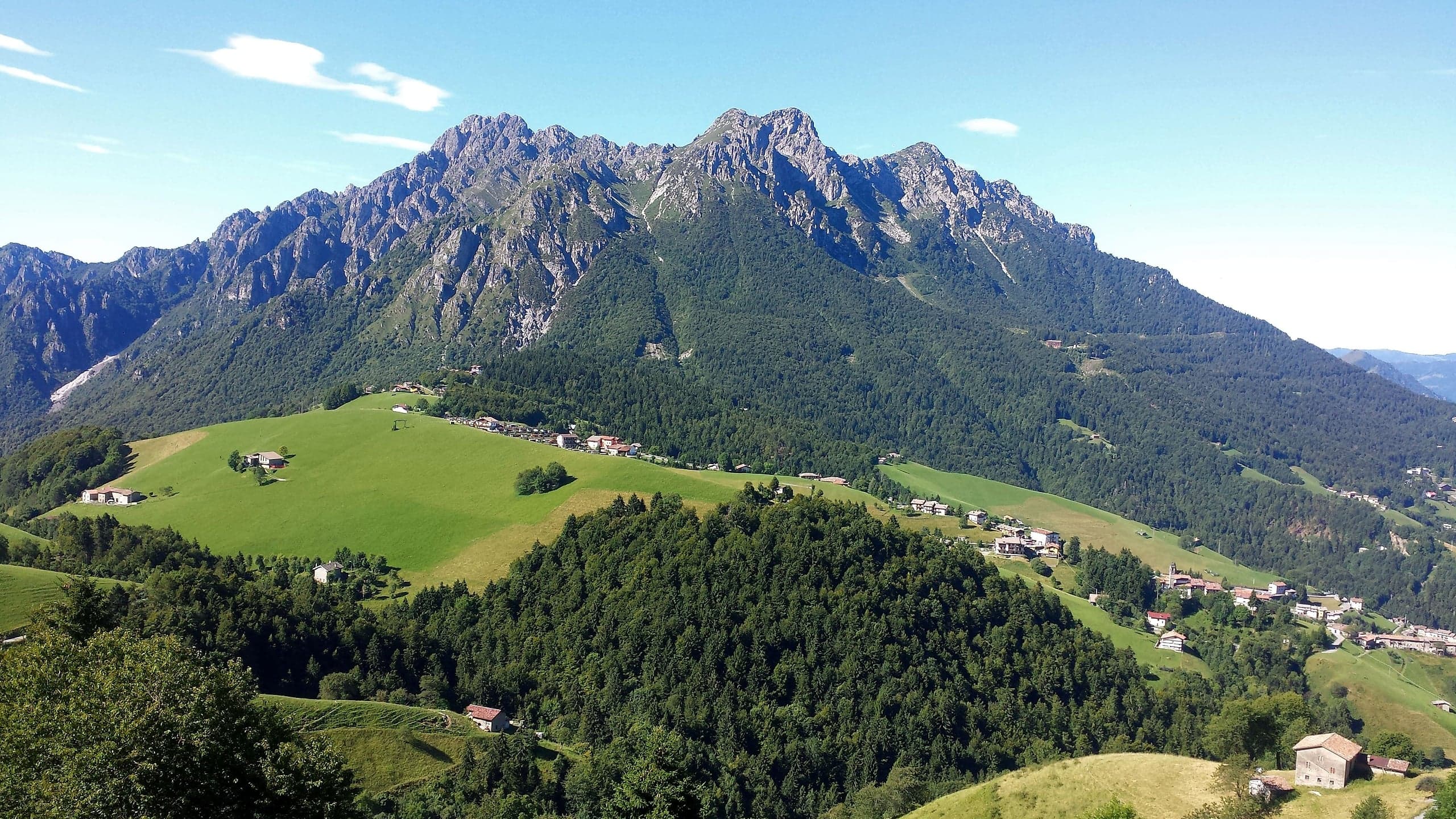
Summits · 2 minutes
Monte Alben (2,019 m) from the Colle di Zambla
Monte Alben, 2,019 m, from the Colle di Zambla on CAI trail 501: 750 m and 2 h 15 via the Col dei Brassamonti, Passo della Forca and the final EE ridge.
Mountain huts · 2 minutes
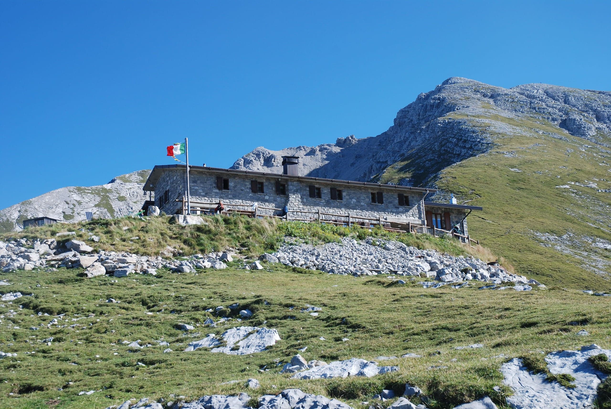
Capanna 2000 hut
Capanna 2000 hut, 1,960 m below the Pizzo Arera: owned by Oltre il Colle, 25 beds, an hour from the Alpe Arera car park. Opening periods, booking and contacts.
Winter · 2 minutes
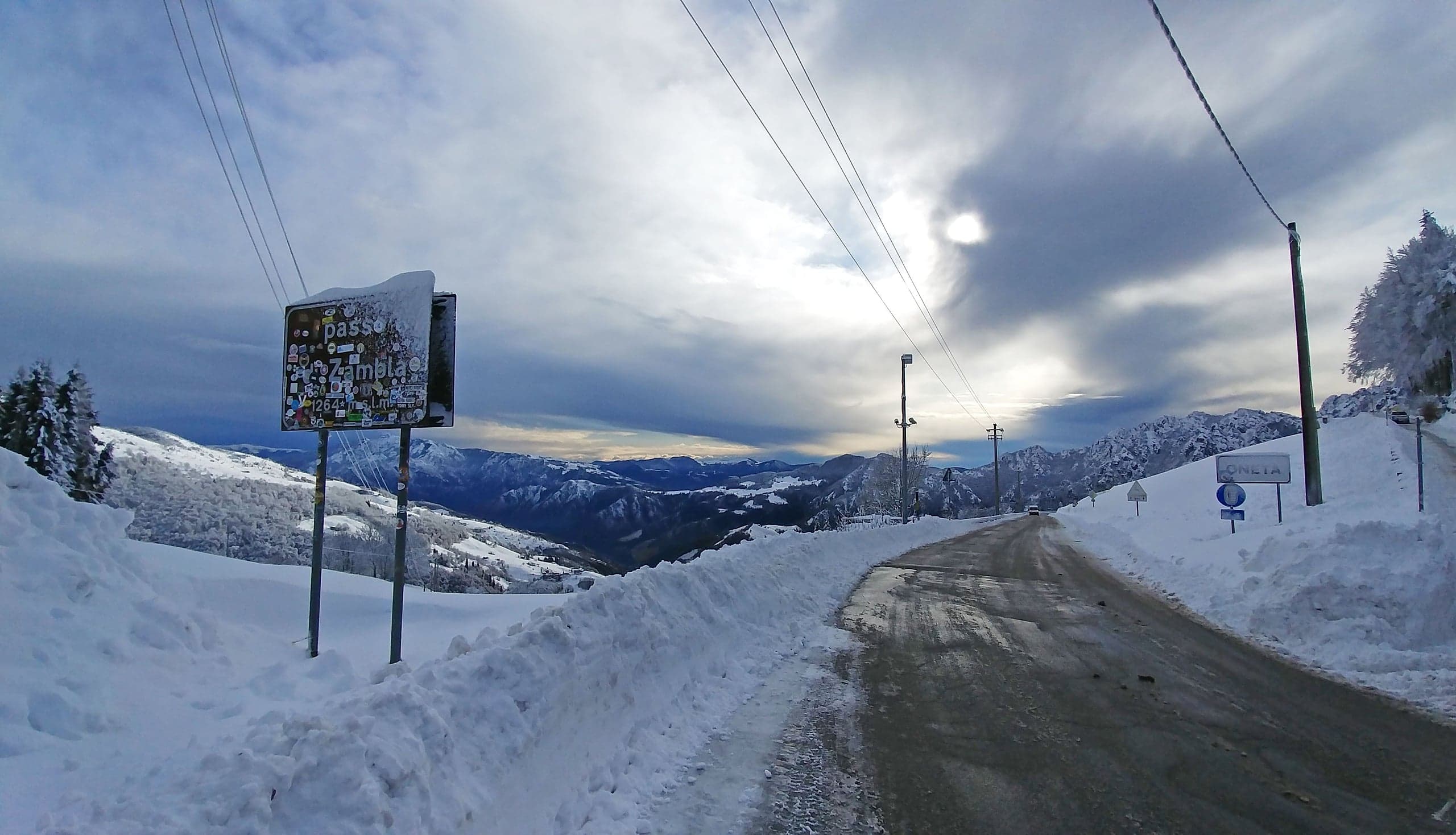
Cross-country skiing at the Colle di Zambla
Cross-country skiing at the Colle di Zambla: 16 km of tracks below the north face of the Alben, 1,290–1,420 m, classic and skating, with a floodlit section.