Oltre il Colle, Zambla and Zorzone: the guide to the basin between Alben and Arera
Featured
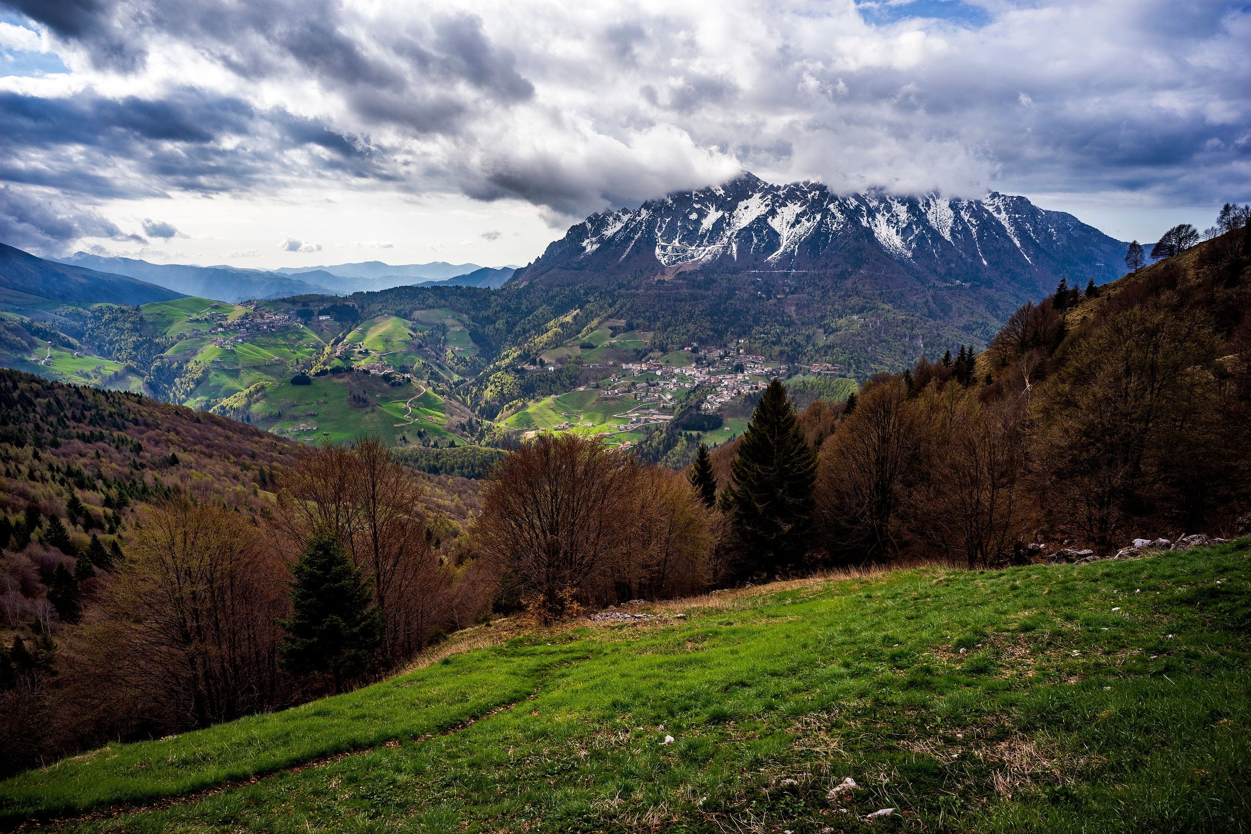
Oltre il Colle: the basin between Alben and Arera, told by the people who live there
Guide to Oltre il Colle: Zambla, Zorzone, Monte Alben and the Arera, the Minerals Museum, cross-country skiing at the Colle di Zambla and trails to Capanna 2000.
Pick and go
What do you feel like doing today?
Ten shortcuts to the most searched pages: trails, snow, bikes, where to stay and eat.
The village
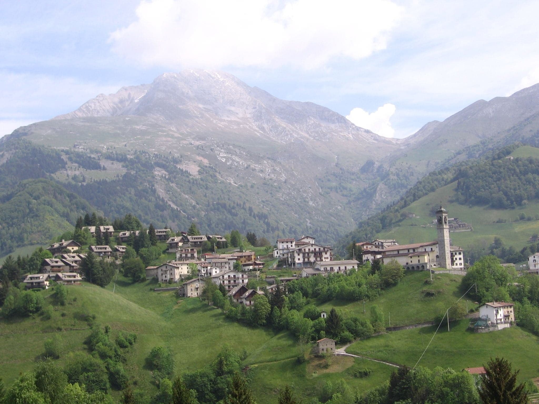
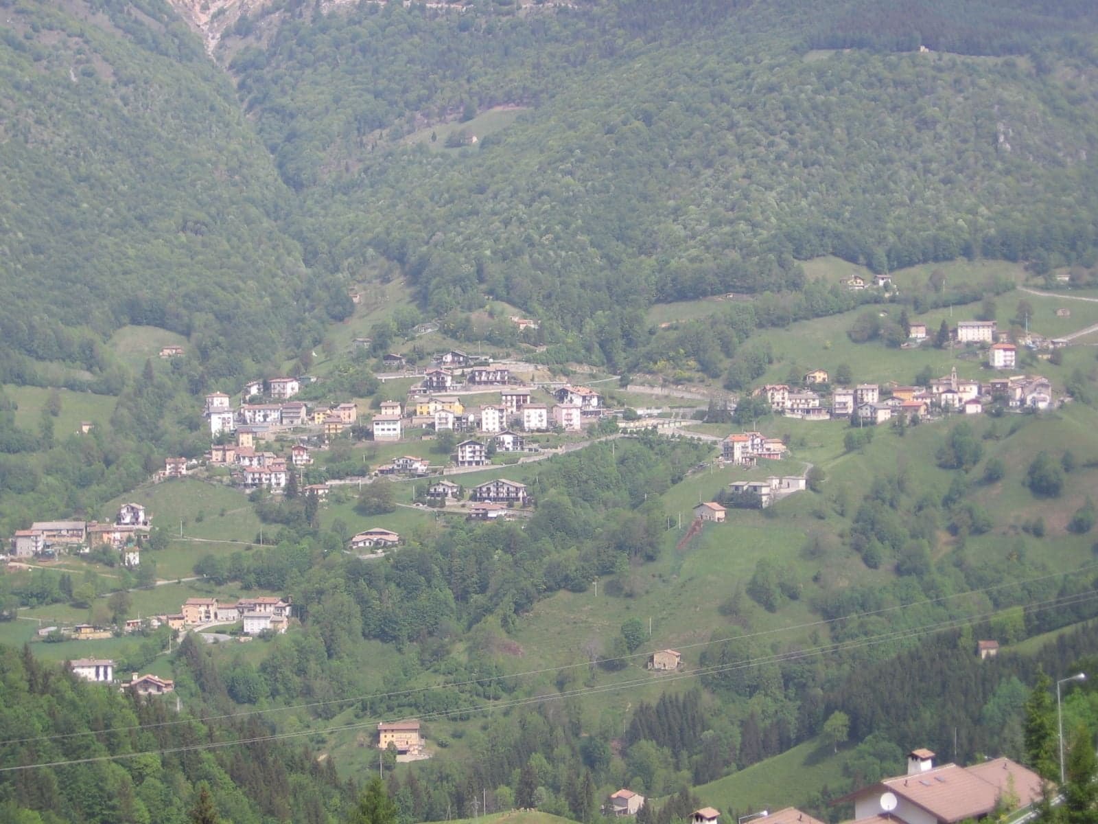
One main village and three hamlets
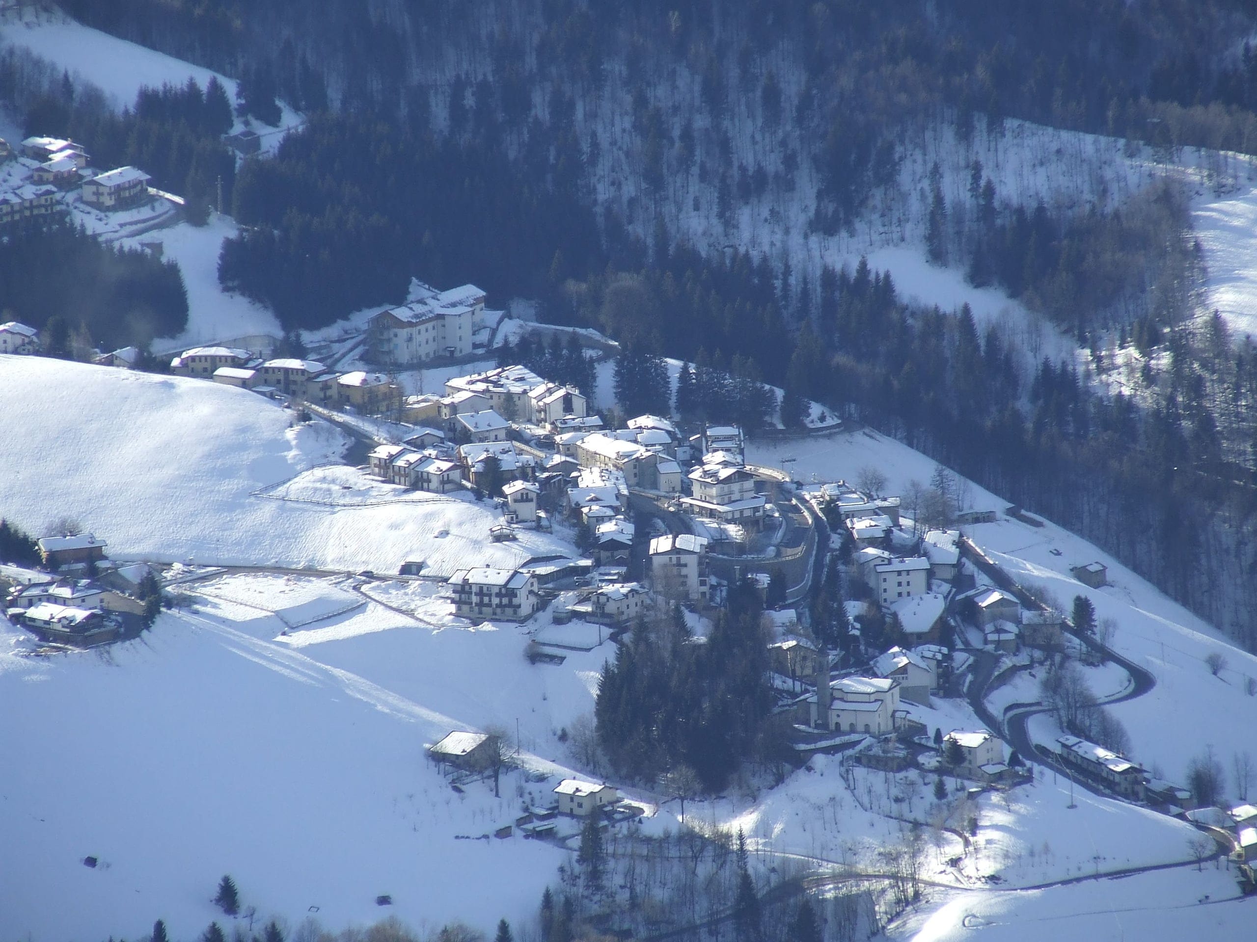
Oltre il Colle is the highest municipality in Val Serina: the main village sits at 1,030 metres, with three hamlets on the two sides of the Colle di Zambla.
Summer
Trails, summits and places to see
Spring to autumn: trails, summits, huts and flowers, with elevation gain, times, CAI grade and verification date.
Hikes · 2 minutes
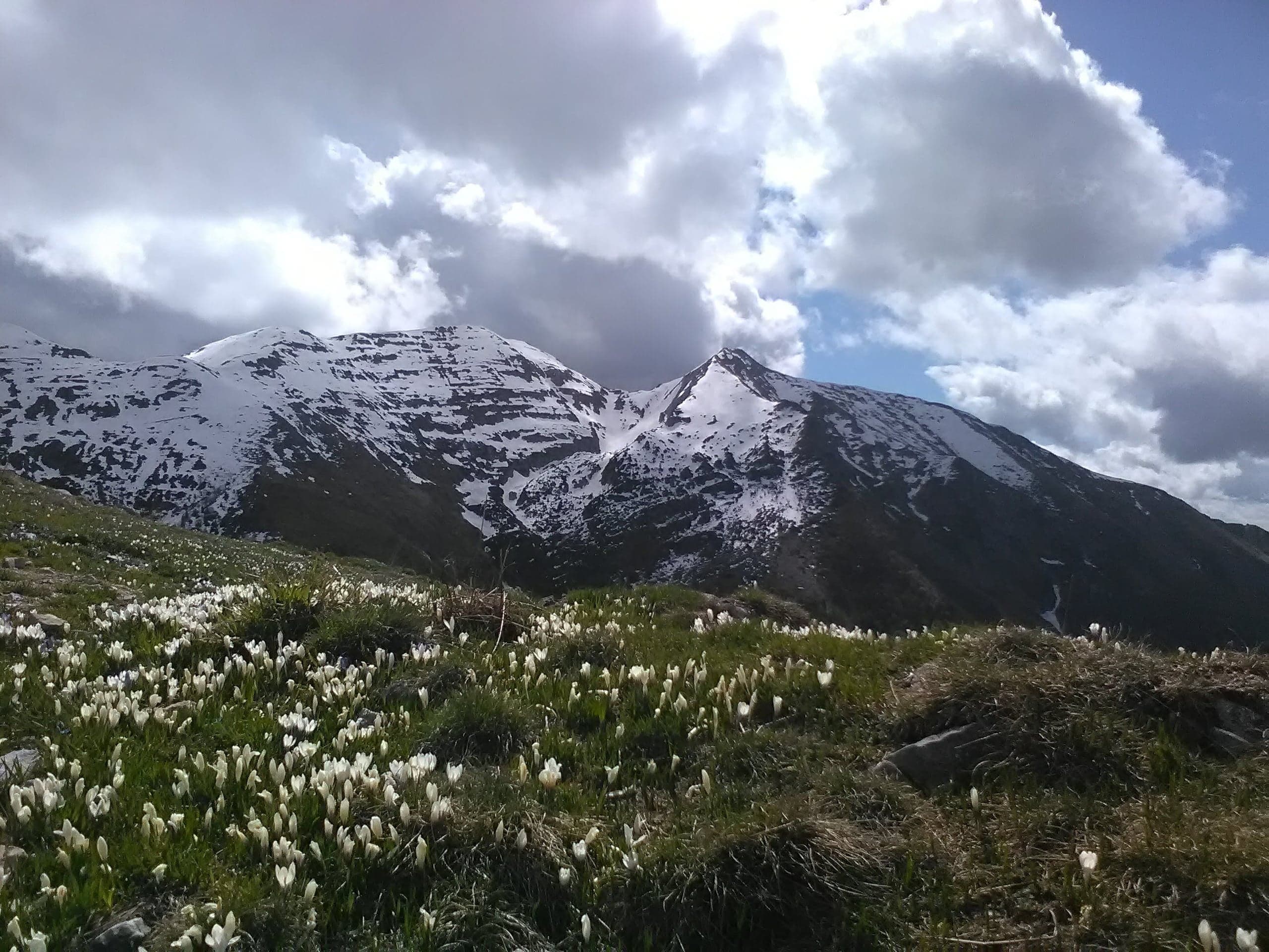
Sentiero dei Fiori “Claudio Brissoni”
Sentiero dei Fiori Claudio Brissoni: a CAI loop of about 3 hours from the Capanna 2000 to Passo Branchino, 1,821–2,078 m, on the flowering slopes of the Arera.
- E
- 500 m
Summits · 2 minutes
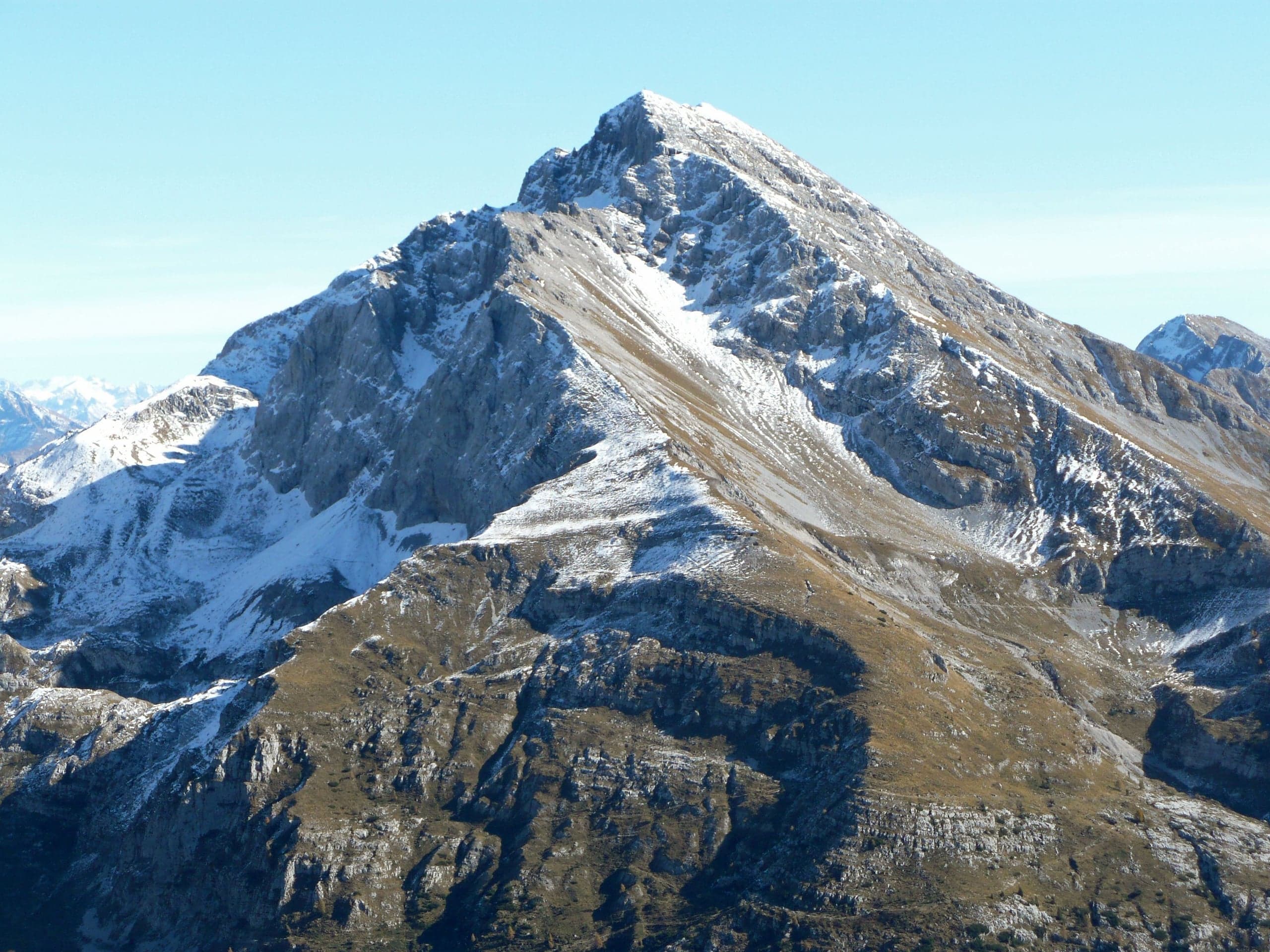
Pizzo Arera (2,512 m) by the south normal route
Pizzo Arera, 2,512 m, by the south normal route: from the Alpe Arera car park 922 m of ascent and about 2 h 30, with a protected gully just below the summit.
- EE
- 922 m
- 2 h 30 up
Summits · 2 minutes
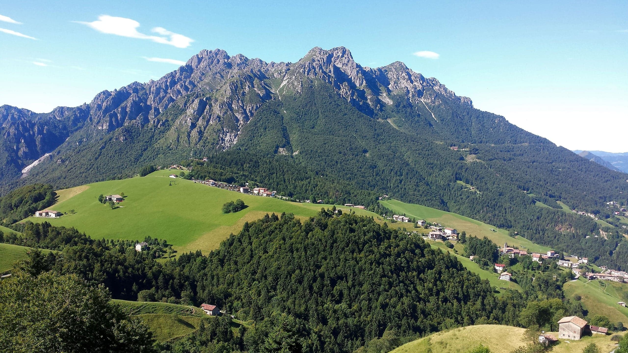
Monte Alben (2,019 m) from the Colle di Zambla
Monte Alben, 2,019 m, from the Colle di Zambla on CAI trail 501: 750 m and 2 h 15 via the Col dei Brassamonti, Passo della Forca and the final EE ridge.
- EE
- 750 m
- 2 h 15 up
Summits · 2 minutes
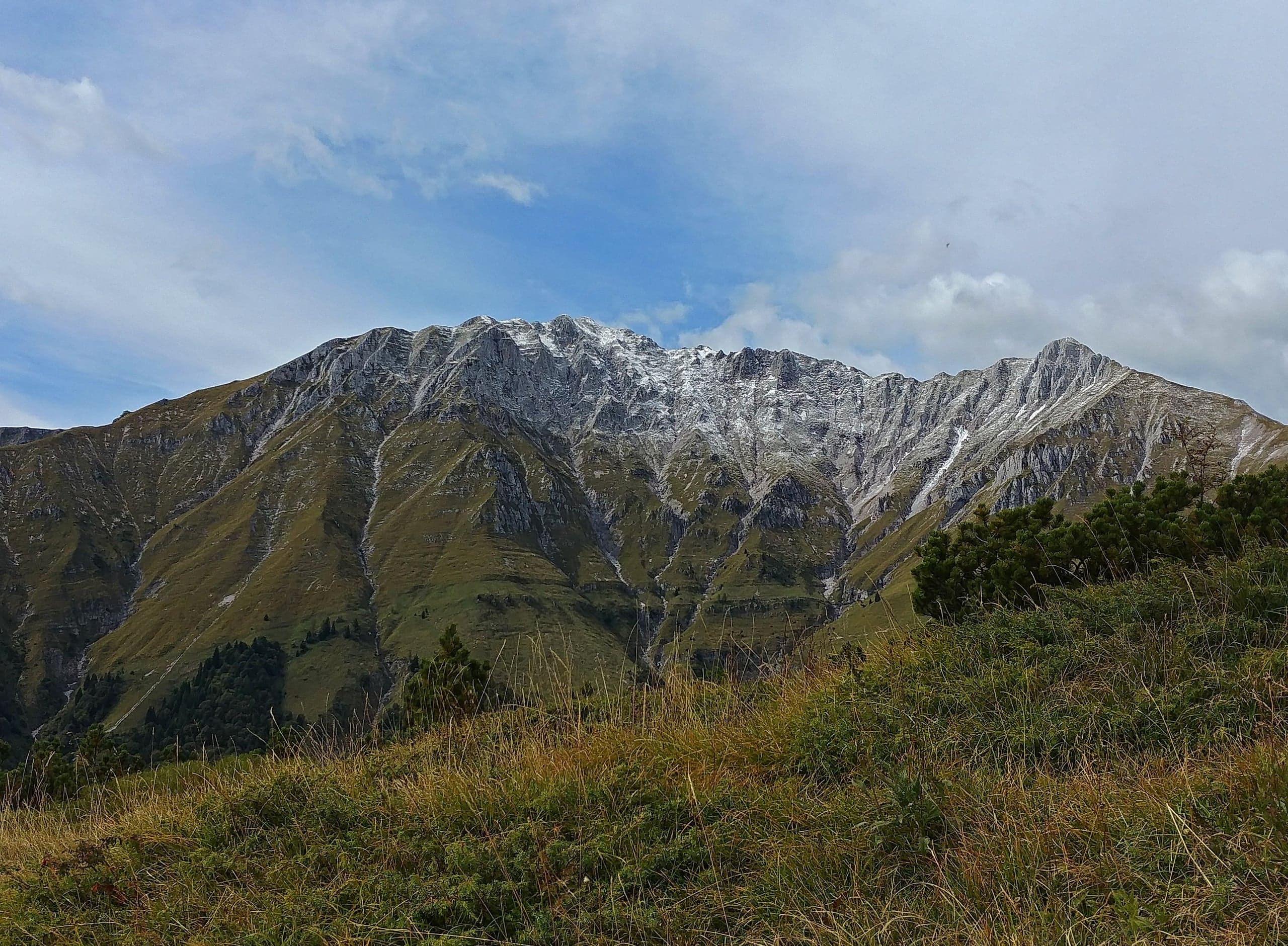
Cima di Menna (2,300 m) from Zorzone
Cima di Menna, 2,300 m, from Zorzone on CAI trail 234: 1,250 m and 4 hours up through Val Carnera and the MAGA bivouac, with no water along the way.
- E
- 1,250 m
- 4 hours up
Hikes · 2 minutes
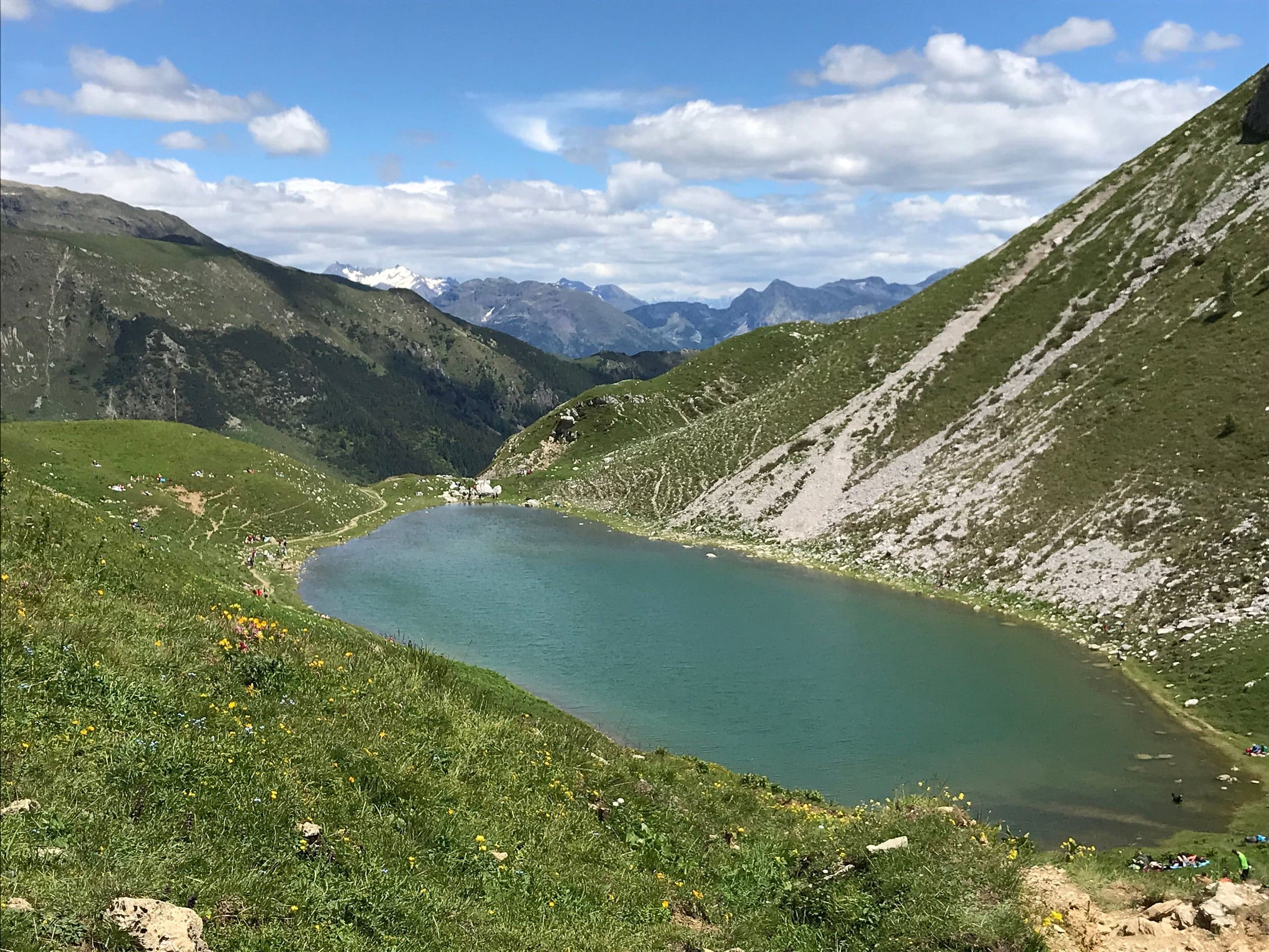
Lake Branchino from Valcanale and Zorzone
Lake Branchino, 1,784 m, below Passo Branchino: 2 h 30 and 750 m from Valcanale via the Alpe Corte hut, or 3 hours from Zorzone up the Val Vedra.
- E
- 750 m
- 2 h 30 from Valcanale
Summits · 2 minutes
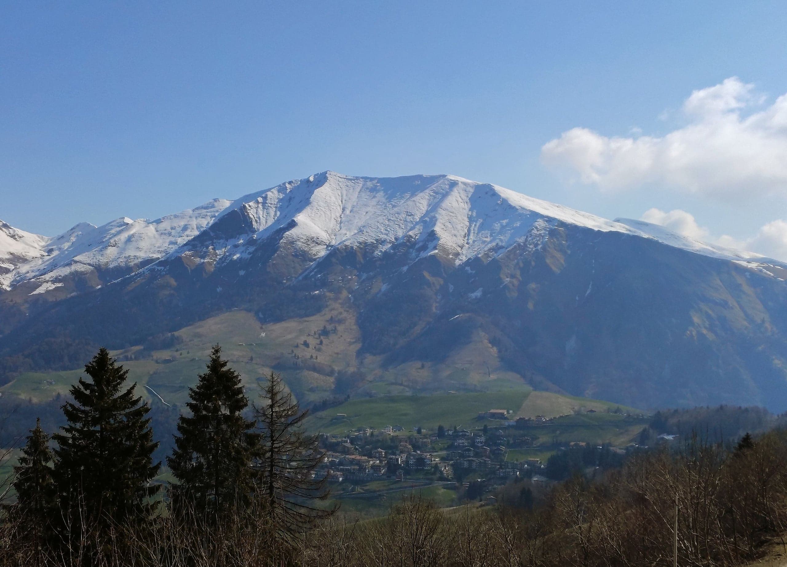
Cima di Grem (2,049 m) from the Colle di Zambla
Cima di Grem (2,049 m) from the Colle di Zambla on CAI trail 223: 800 metres of ascent through beech woods, pastures and old mines, past the Mistri bivouac.
- E
- 800 m
Climbing · 2 minutes
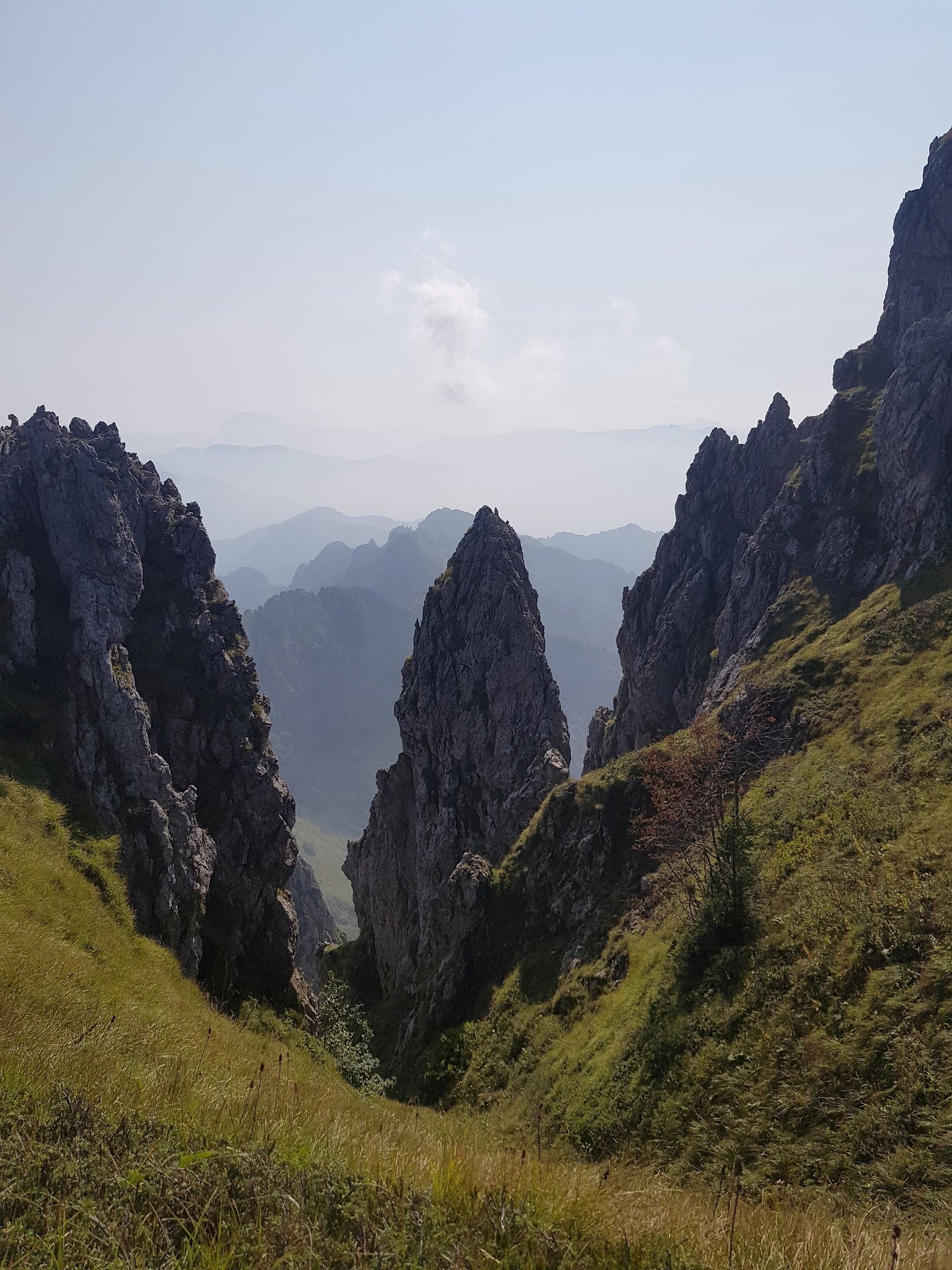
Torrione Brassamonti and the crags of the Alben
Torrione Brassamonti, Alben: routes from 3a to 7b on two faces, Bonatti's 1950 line, the Bottiglione, the Coregn de l'Acqua boulders and the Maurizio ferrata.
Hikes · 2 minutes
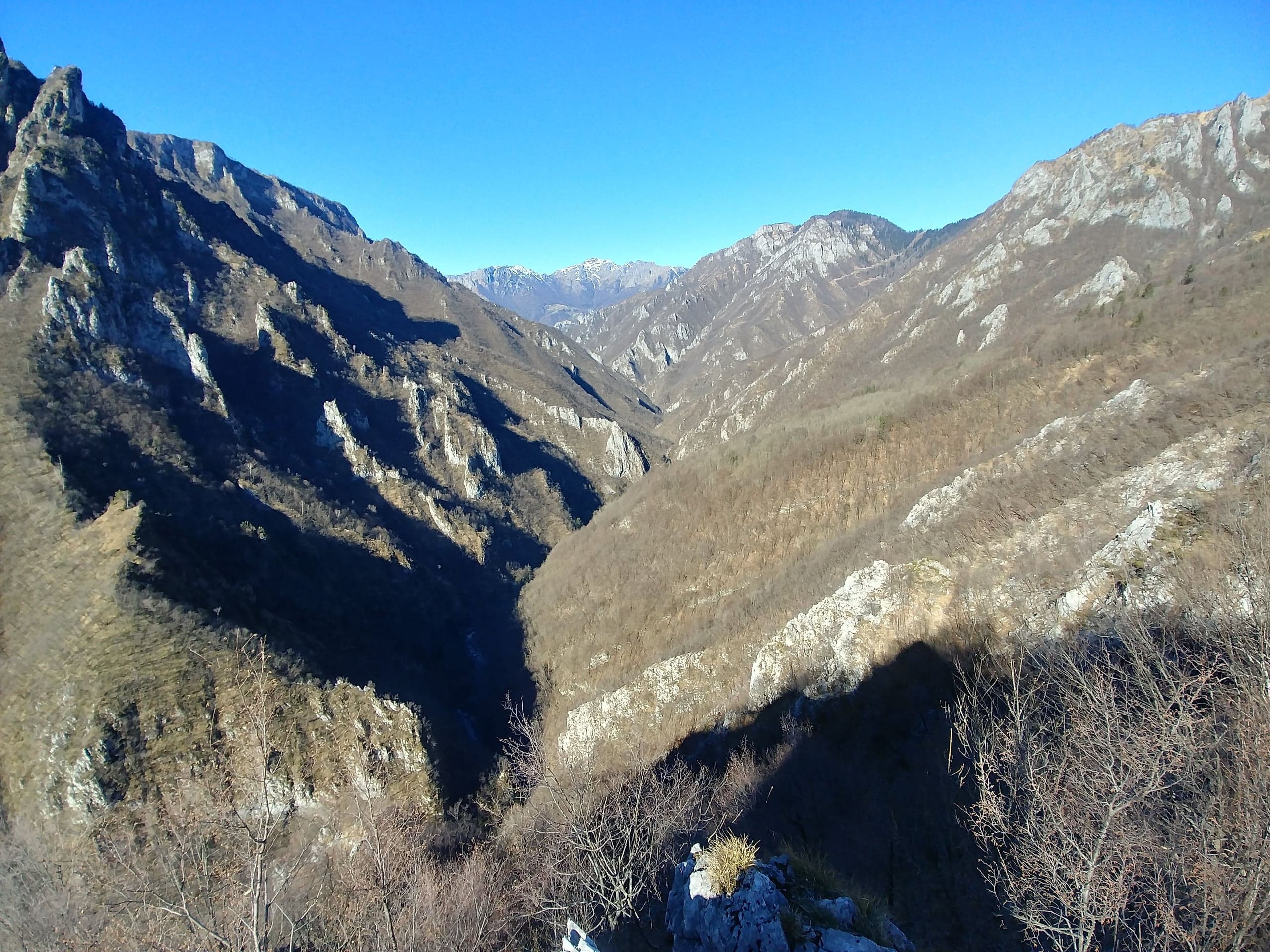
Val Parina: the traverse from Zorzone to Scalvino on CAI trail 259
Val Parina, Zorzone to Scalvino on CAI trail 259: 12 km and 450 m of descent through gorges, chained ledges and the rails of an old timber and marble line.
- E
- 450 m
- 4 h 30-5 h, one way
Winter
Cross-country skiing, snowshoes and snow in the Conca dell’Alben
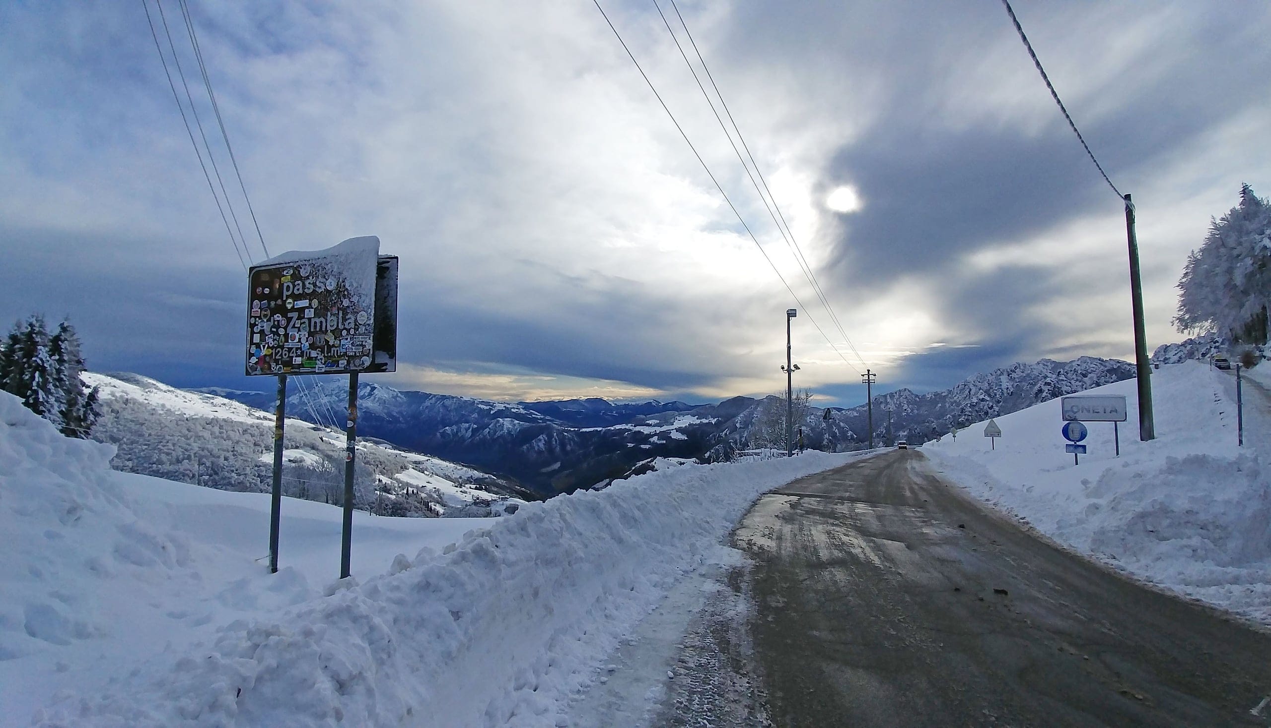
December to March: the cross-country loops from the Colle di Zambla, snowshoe walks and ski touring on Alben and Arera.
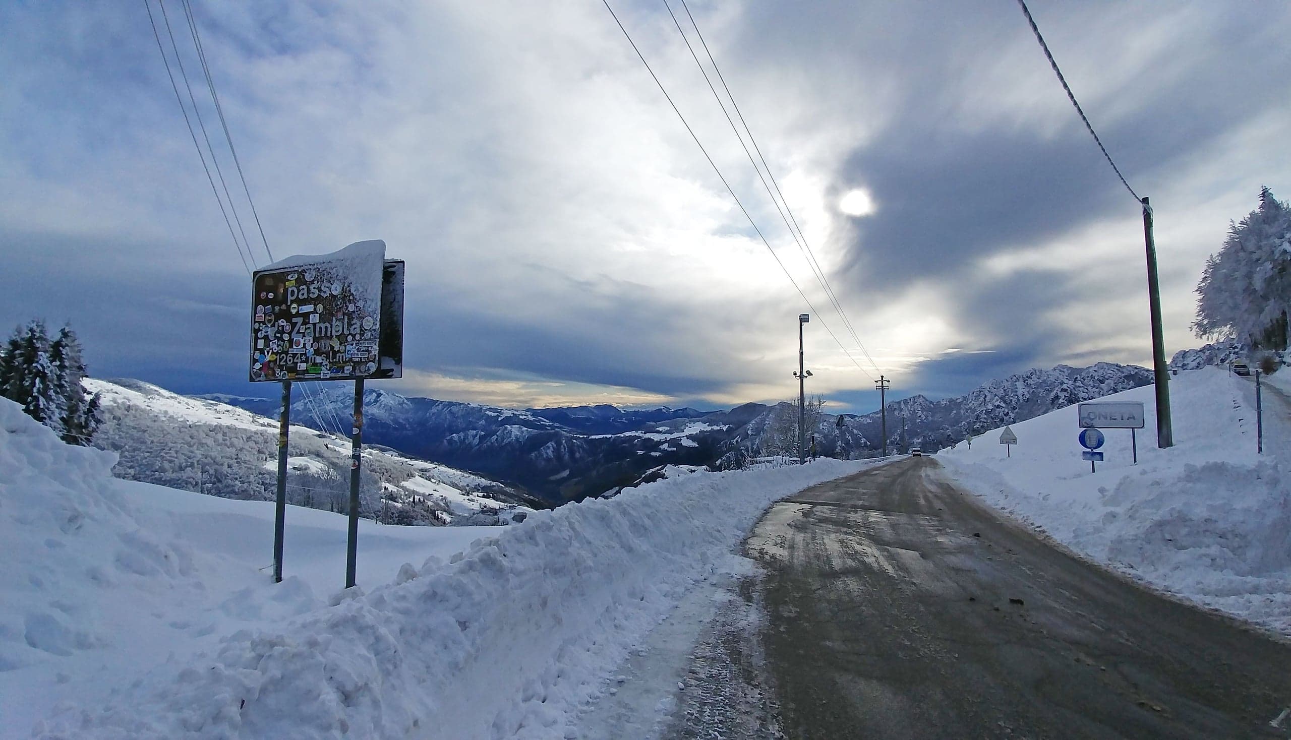
Cross-country skiing at the Colle di Zambla
Cross-country skiing at the Colle di Zambla: 16 km of tracks below the north face of the Alben, 1,290–1,420 m, classic and skating, with a floodlit section.
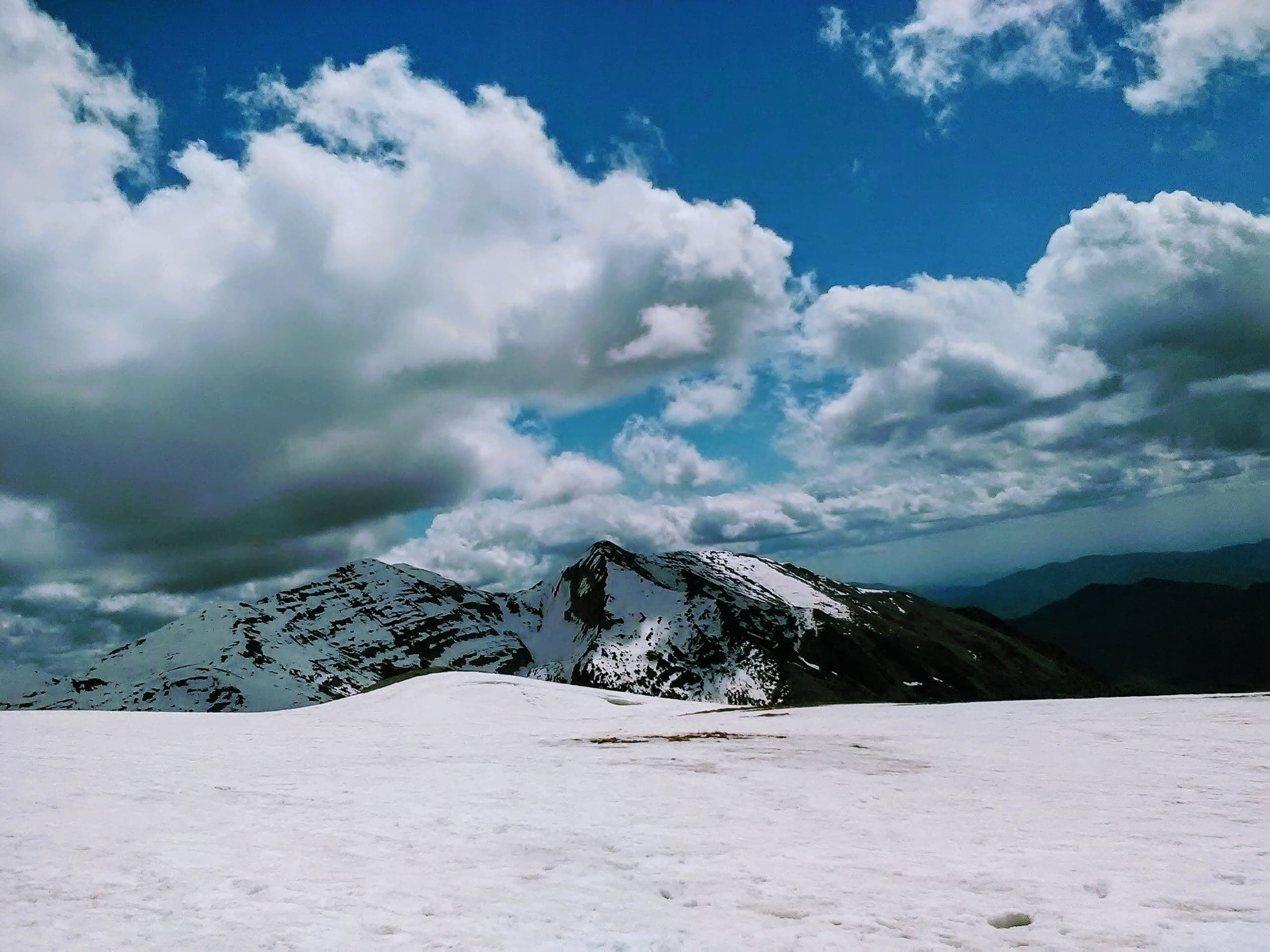
Snowshoe walk to the Capanna 2000 from Plassa
Snowshoe walk to the Capanna 2000 from Plassa di Zambla Alta: about 750 m of ascent and 10 km there and back, with the road to the Alpe Arera closed in winter.
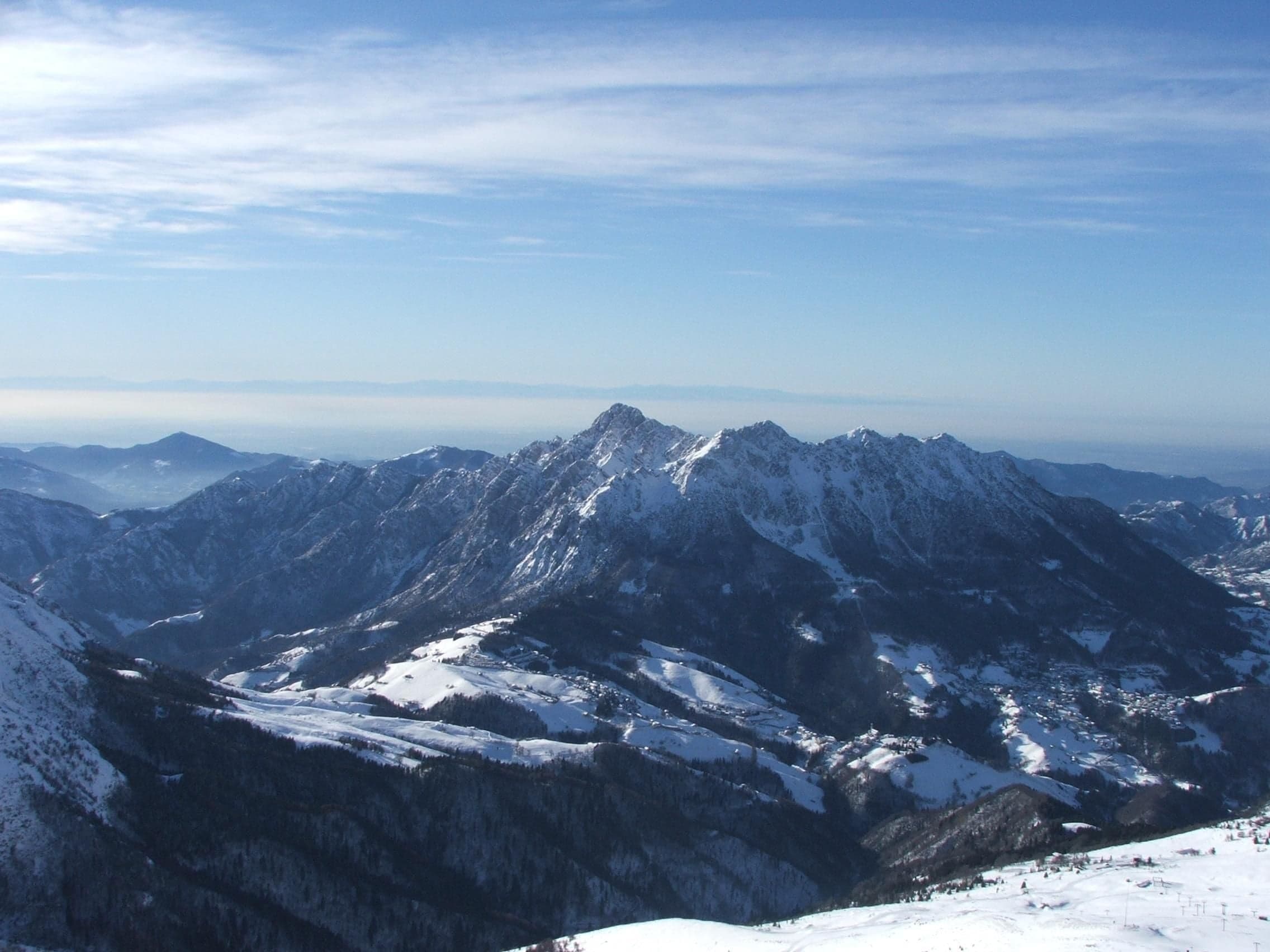
Snowshoe walks at the Colle di Zambla and in the Conca dell'Alben
Easy snowshoe walk from the Colle di Zambla to Pian della Palla and the Conca dell'Alben: 5.6 km almost flat beside the cross-country track, below the Alben.
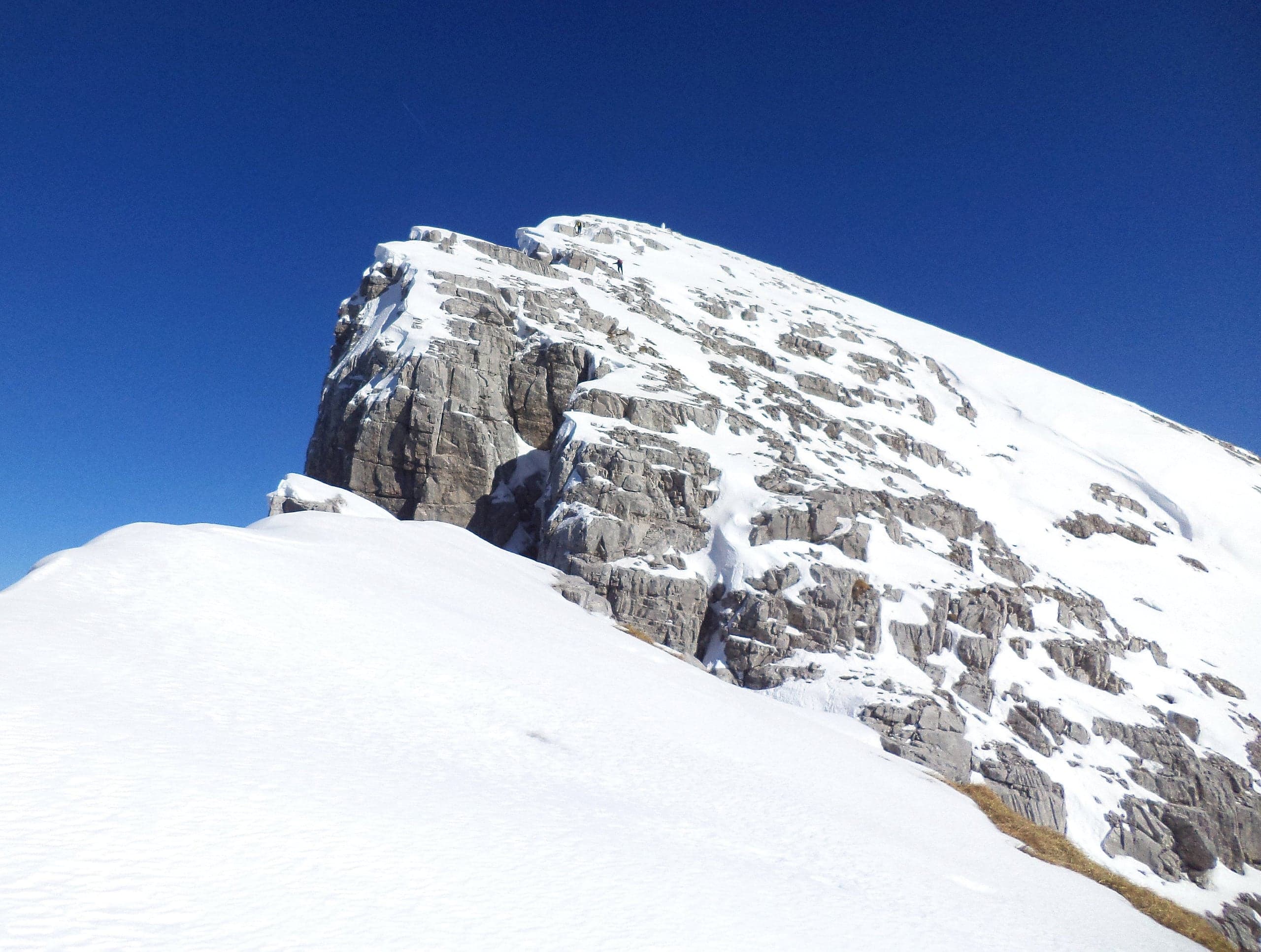
Ski touring and winter ascents on Arera, Alben and Menna
Ski touring and winter ascents from Oltre il Colle: Pizzo Arera from Plassa, Monte Alben from the Colle di Zambla and Cima di Menna from Zorzone, with CAI data.
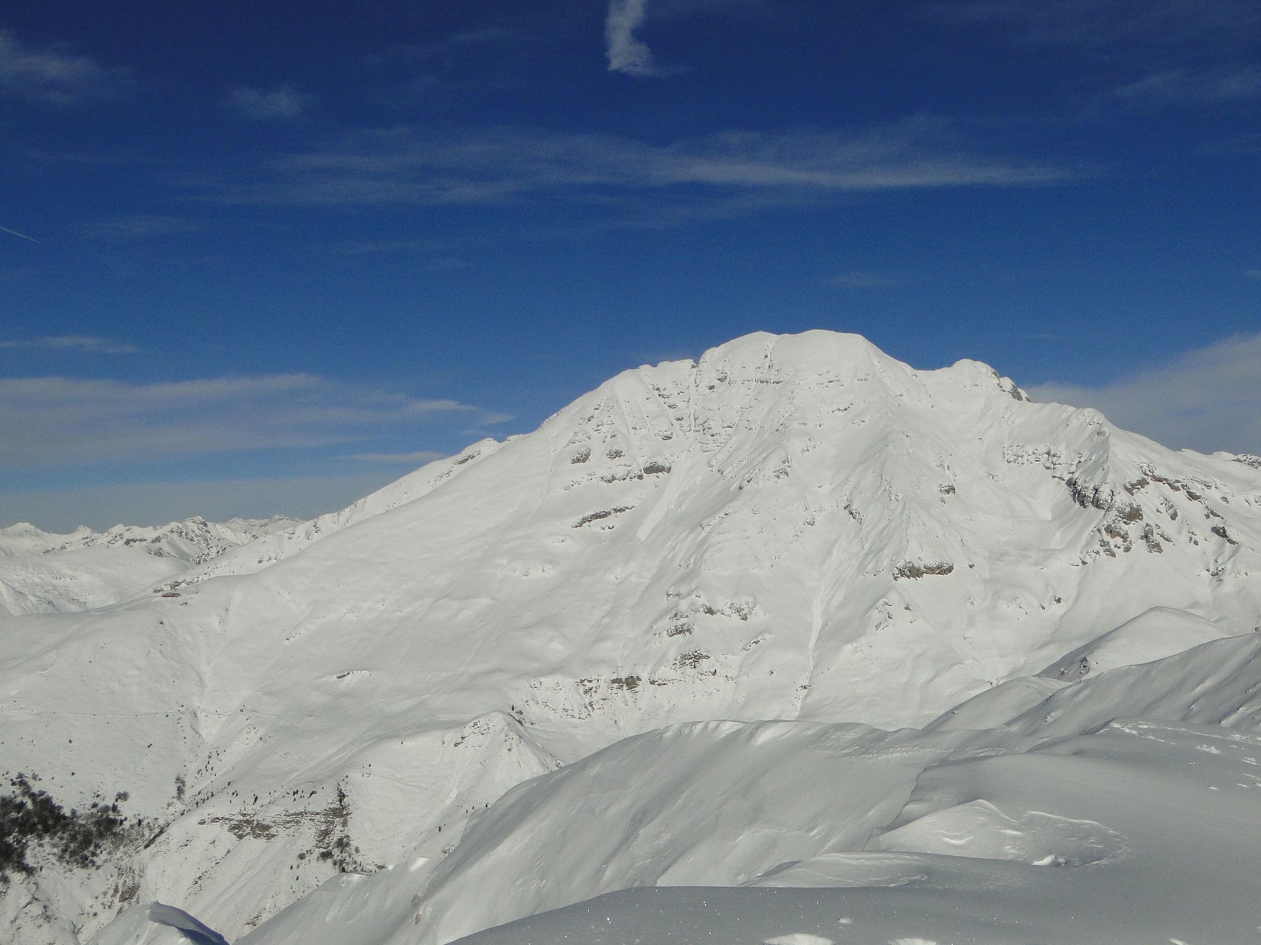
Ski lifts at Zambla and the Alpe Arera: what is there today
Ski lifts in Oltre il Colle today: the Conca dell'Alben drag lift and magic carpet, run by the Sci Club Valserina, and what remains of the Alpe Arera ski area.
Ski school and equipment hire at Zambla
Scuola Sci Oltre il Colle and ski hire at Zambla: cross-country and downhill instructors, lessons and courses with 2025-26 prices, ski hire at Edo Sport.
Planning your visit
Ready-made days and a map of everything
Itineraries built on the checked pages and a topographic map with trails, car parks, shops and places to stay.
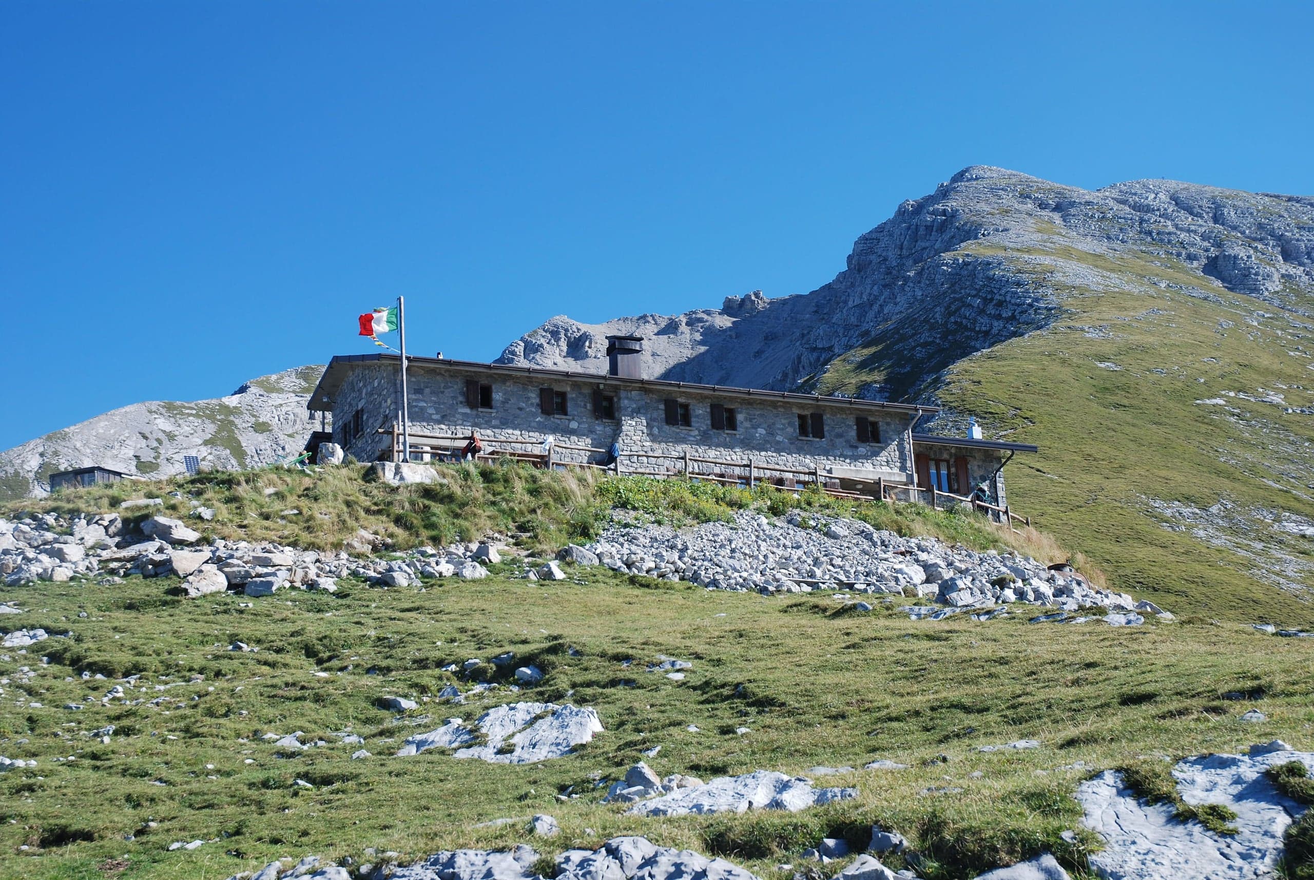
One day
A day on the Arera: Capanna 2000 and the Sentiero dei Fiori
The classic summer day in Oltre il Colle: from the Alpe Arera car park to the Capanna 2000 hut, the Sentiero dei Fiori loop and the Cattedrale Vegetale.
Two days
A summer weekend between the Alben and the Arera
Two days and two summits for experienced hikers: Monte Alben from the Colle di Zambla on Saturday, the Pizzo Arera by the south normal route on Sunday.
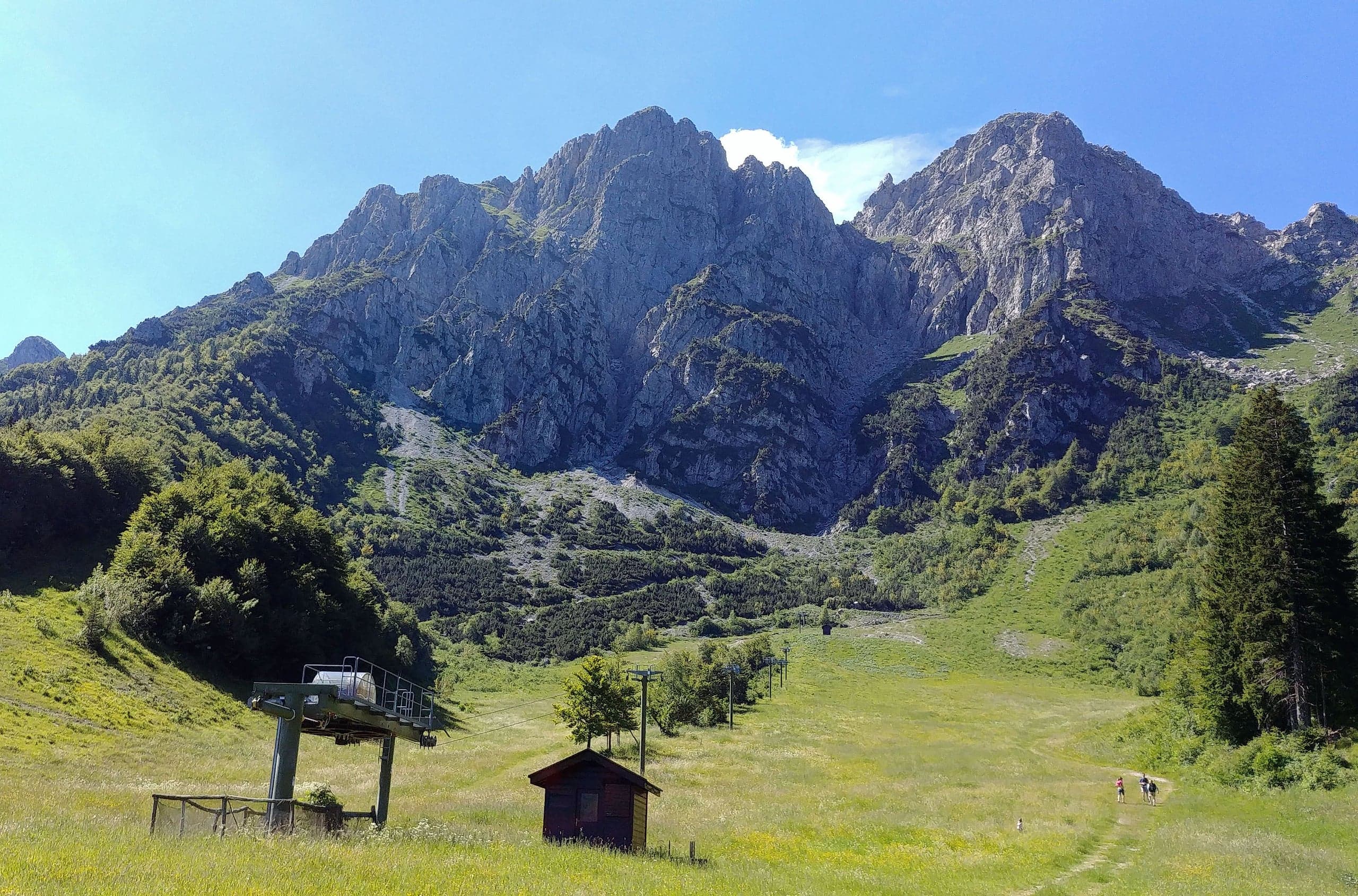
One day
Oltre il Colle with children
A family day: the barrier-free walk from the Colle di Zambla to the Conca dell'Alben, a picnic, the playgrounds and a stop at the ice-cream shop.
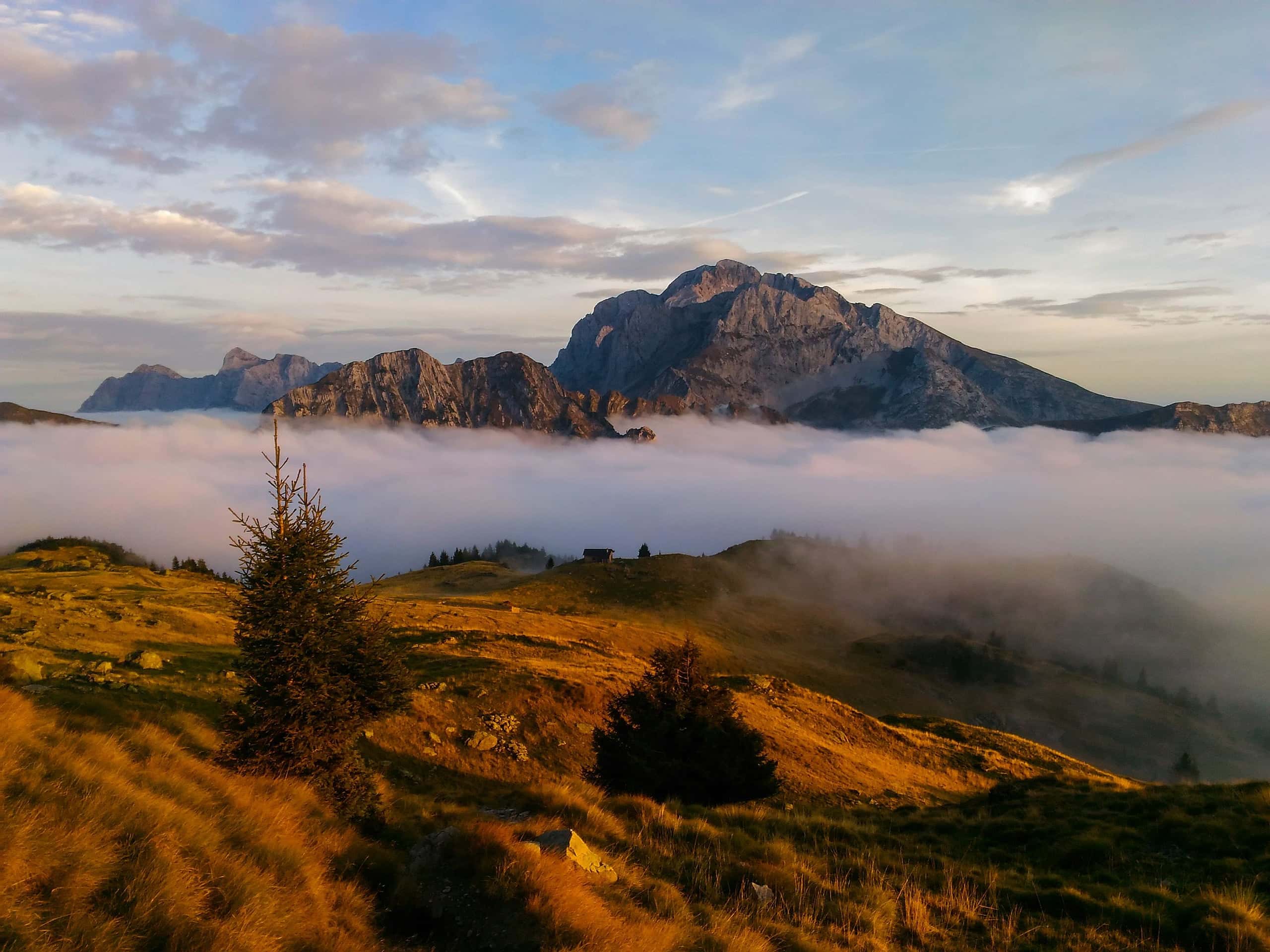
Map
The map of Oltre il Colle
118 points with checked coordinates on a topographic map: trailheads, car parks, shops, places to stay.
Open the map →
Weather and snow
What the weather is like in Oltre il Colle and Zambla
Five-day forecasts for the main village, the Colle di Zambla and the elevation of the Capanna 2000 hut, with the expected centimetres of snow. Open-Meteo data, updated hourly.
Photo: Emanuele Livietti · CC BY-SA 4.0Weather at Colle di Zambla
1257 m a.s.l.- todayRainhigh 10° low 5°
- ThuRainhigh 9° low 5°
- FriRainhigh 12° low 4°
- SatFoghigh 5° low 0°
- SunRainhigh 2° low 0°
Updated hourly · data by Open-Meteo
Where to stay
Where to stay in Oltre il Colle and Zambla
12 places to stay in Oltre il Colle and its hamlets, each with a link to the official channel.
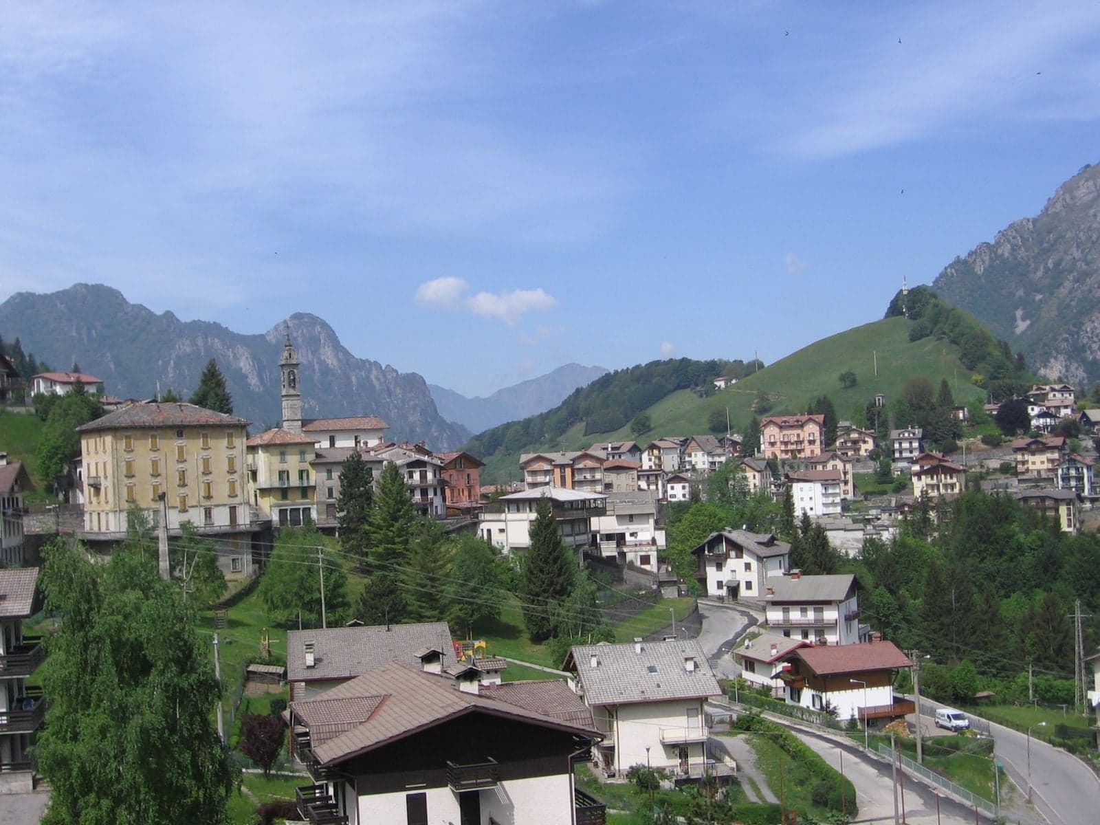
Oltre il Colle
B&B Casa Dolce Casa
B&B in the Grimoldo district of Oltre il Colle: three rooms and two self-catering flats, a buffet breakfast with home baking, pets allowed for a supplement.
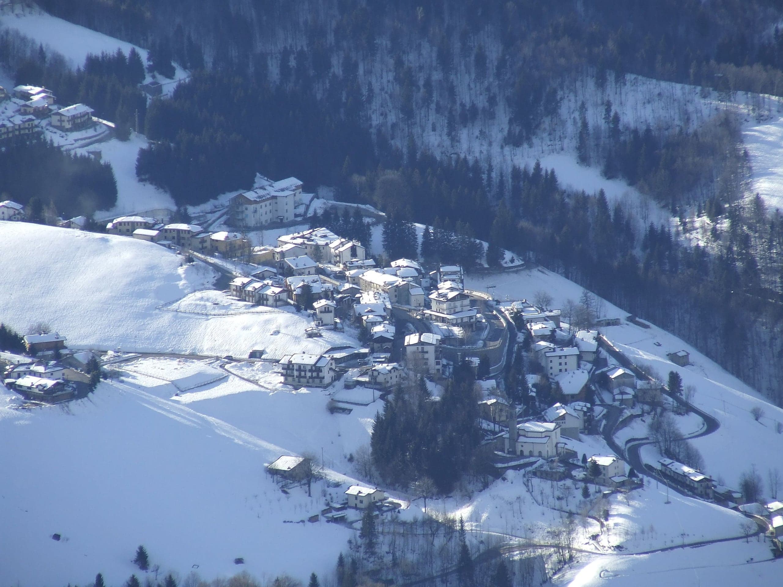
Zambla Alta
B&B La Teresa
Three-room B&B on via Fezzoli in Zambla Alta, run by the Quattro Cime restaurant family: shared lounge with kitchen, washing machine, wi-fi, free parking.
Oltre il Colle
B&B Sotto l'Alben
B&B open all year in an early twentieth-century villa in Oltre il Colle: three rooms for up to four guests, private parking, sauna and hot tub on the terrace.
How to get there
One hour from Bergamo
- By car · Bergamo
- From Bergamo you leave towards Villa d'Almè and take the SS470 of the Brembana valley. After Sedrina and Zogno, at Ambria you leave the valley floor and turn right onto the SP27 of Val Serina, which… (38 km, about 45 minutes)
- By bus · Bergamo (bus station)
- Arriva–Bergamo Trasporti line B, Bergamo – Zogno – Serina – Oltre il Colle – Passo Zambla, leaves from the Arriva Terminal in Bergamo, next to the railway station, and takes you into Val Serina with…
History and mines
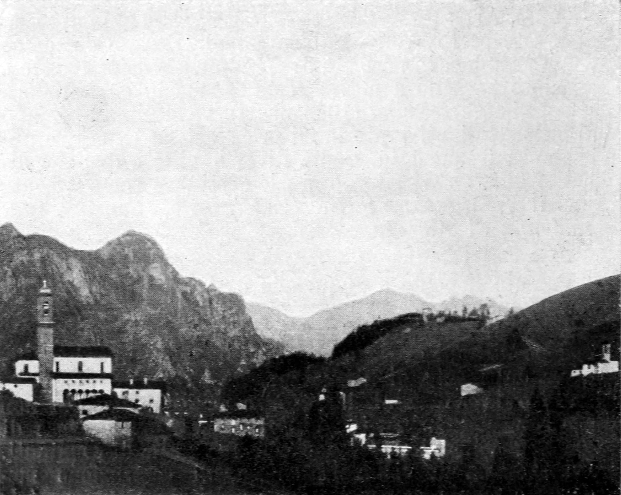
Two centuries of zinc beneath the basin
Food and services
Pharmacy, shops and restaurants
61 businesses in 25 categories: pharmacy, groceries, restaurants, bars, petrol station. Last verified: 1 October 2026.
- Pizzerias 2
- Ice-cream shops 1
- Restaurants 5
- Bars and cafés 5
- Sports facilities 2
- Mountain guides and outdoor activities 2
- Local produce and farm shops 1
- Groceries 7
- Tobacconists 1
- Butchers 1
- Newsagents 1
- Bakeries 1
- Bazaars and shops 1
- Pharmacies 1
- Petrol stations 1
- Doctors and clinics 2
- Emergency: defibrillators and rescue 10
- Banks and ATMs 2
- Post offices 1
- Town hall and offices 3
- Car parks 1
- EV and e-bike charging 3
- Tourist office 1
- Sports shops and rental 2
- Hairdressers and beauty 4
Coming up
The festivals that come back every year
Usually in December · Piazza Carrara, the Arena and the Pro Loco office, Oltre il Colle
Christmas markets and festivities in the villageUsually in December · Parish church of San Bartolomeo, Oltre il Colle
Christmas concert of the Corpo Musicale San Bartolomeo ApostoloUsually in December · Piazza Caduti del Lavoro (formerly Rossini), Zorzone
Cunsada in the square in ZorzoneUsually in January · Centro Fondo trail, Conca dell'Alben
Trofeo Angela Maurizio, cross-country ski race
Frequently asked questions
The answers people look for about Oltre il Colle
How do you get to Oltre il Colle from Bergamo?
By car you take the SS470 up the Brembana valley to Ambria di Zogno, then the SP27 of Val Serina through Serina: about 38 kilometres from the station and three quarters of an hour without traffic. Alternatively you drive up the Seriana valley to Ponte Nossa and take the SP46 of Val del Riso, which leads to the Colle di Zambla (1,264 m) and descends to the Zambla hamlets: about 50 kilometres. By bus there is Arriva line B, changing at Zogno, from Monday to Saturday.
How far is Oltre il Colle from Bergamo, Milan and Orio al Serio airport?
From Bergamo station it is about 38 kilometres, three quarters of an hour by car without traffic; from the centre of Milan about 88 kilometres, an hour and a half; from Orio al Serio airport about 43 kilometres, around fifty minutes. These are estimates calculated on the OpenStreetMap road graph: the last part is all mountain road and with traffic or snow the times grow.
Can you visit the Zorzone mines?
No. The zinc mines of Oltre il Colle have been closed since 1982 and the tunnels are not open to the public. Their history is told at the Museum of Minerals and Mining in Zorzone, set out on three floors in the hamlet. The nearest show mines you can visit are those of Dossena and those of Gorno, in Val del Riso, with guided tours.
Where does the Sentiero dei Fiori on Monte Arera start?
The loop starts and ends at the Capanna 2000 hut, at 1,960 metres on the south side of Pizzo Arera. You get there on CAI trail 221 from Plassa, above Zambla Alta, where the CAI recommends parking, or in summer by driving up to the car park of the old lifts at Alpe Arera, at around 1,600 metres, where parking is paid. Times and season are on the Sentiero dei Fiori page.
What is there to do in Oltre il Colle in winter?
The main activity is cross-country skiing: the Pro Loco gives 16 kilometres of tracks at the foot of Monte Alben, accessed from the Passo di Zambla or from Pian della Palla. In the Conca dell'Alben there are also two downhill runs for beginners, and snowshoe walks to Plassa and Capanna 2000 and ski-touring trips on Arera and Alben are popular. There is no ski resort: of the old lifts at Alpe Arera only the car park remains.
Oltre il Colle is an independent guide, not the municipality's website: every page lists the sources consulted and the date of the last check. Report an error or a changed opening time to visitoltreilcolle@gmail.com.
Zorzone