Hike · in the municipality of Oneta, on the Oltre il Colle boundary
Passo della Crocetta (1,267 m), between the Colle di Zambla and the Conca dell'Alben
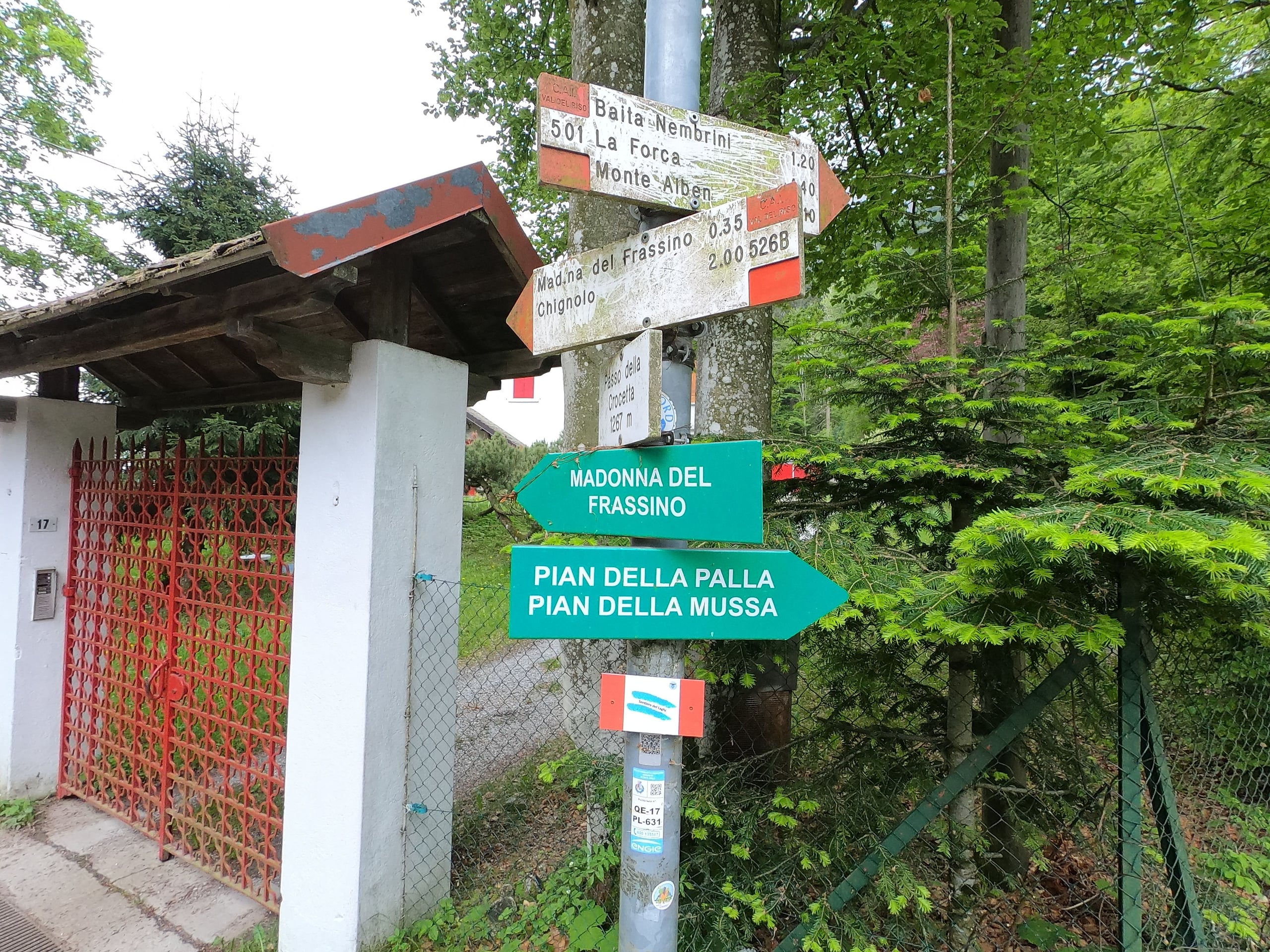
Passo della Crocetta (1,267 m), a kilometre south of the Colle di Zambla: a spring, the start of CAI trails 501 to the Alben and 526B, a ski track in winter.
The Passo della Crocetta is a saddle at almost the same height as the Colle di Zambla, 1,267 metres according to the Lombardy Region technical map used by OpenStreetMap, a kilometre further south. You reach it on foot along the forest road that leaves the pass towards the Al Trapper restaurant, asphalted only for the first few metres, and you recognise it by a small white house with red shutters (Percorsi MTB Val Brembana). On OpenStreetMap's municipal boundaries the saddle already lies in the municipality of Oneta, a few hundred metres beyond the boundary with Oltre il Colle.
It is not a destination in itself but a junction: about 300 metres past the Crocetta, on the left, CAI trail 501 starts for the Col dei Brassamonti, the Baita Nembrini and Monte Alben; from the Crocetta itself trail 526B drops through the woods to the Madonna del Frassino sanctuary and Chignolo d'Oneta; carrying on along the road you reach the Conca dell'Alben and the Pian della Palla.
At the Crocetta there is a spring of drinking water, while the barbecue areas with grills and tables are further on, at the Pian della Palla and the Conca dell'Alben (B&B Sotto l'Alben). In winter the road becomes a cross-country ski track, and the stretch from Zambla Alta to the Crocetta is the one lit for evening skiing (VisitBrembo).
Beware of the name: the Passo della Crocetta that appears in the 2023 and 2025 editions of the Giro di Lombardia is a different, road pass on the Dossena side.
Getting there from the Colle di Zambla and where to leave the car
On its pages for trails 501 and 526B, CAI Bergamo says to park at the Colle di Zambla and continue on foot: follow via Prealpina towards the Al Trapper bar-restaurant and the cross-country track signs, then the forest road heading south, which reaches the Crocetta after about a kilometre. It is an agro-sylvo-pastoral road with a barrier at the start: that is how it is described both by CAI barrier-free route 104 and by the climbing reports of Sass Balòss, which in 2011 also mentioned a no-entry sign.
Some tourist pages, such as those of VisitBrembo and Escursionismo.it on the Baita Nembrini, say instead that you can drive to the Crocetta: go by the barrier and the signs you find on the spot. If you want to drive closer to the Conca dell'Alben, you can go up from Oltre il Colle along via Drago, about 3 kilometres, to the Pian della Palla, where there is plenty of parking (B&B Sotto l'Alben).
What you find along the road and at the Crocetta
The road is CAI Bergamo's barrier-free route 104, graded AT, accessible to tourists, from the Colle di Zambla to the Conca dell'Alben: the description gives 5.6 kilometres in length, 45 minutes out and the same back, only 30 metres of ascent, a maximum gradient of 10 per cent, an average width of 3 metres and a minimum of 2, with no steps and no exposed sections. It lists water along the route, places to eat, an accessible toilet and good shade from the sun.
On the way to the Crocetta you pass a small rest area with benches and tables (CAI Bergamo); at the Crocetta is the spring. From the Pian della Palla, B&B Sotto l'Alben describes a loop of about 5.5 kilometres and 200 metres of ascent via the Pian della Mussa and the Conca dell'Alben, with views of the Menna, the Arera and the Grem: starting from the Passo di Zambla the full round comes to about 11 kilometres. A little further on, coming down trail 501 towards the Conca dell'Alben, VieFerrate.it uses the «old lime kilns» as the landmark where the level path to the Conca begins.
The trails that start from the Crocetta
From the Crocetta you can choose four directions of very different difficulty, from a level stroll to the ridge of the Alben.
- CAI 501 to Monte Alben: from the Colle di Zambla 3.7 km and 750 m of ascent, 2 h 15 up and 1 h 20 down, grade EE for the final ridge over rocky steps; it passes the Col dei Brassamonti (1,755 m) and the Passo della Forca (1,848 m) (CAI Bergamo).
- Detour from 501 to the Baita Nembrini (1,730 m), at the foot of the Torrione Brassamonti: about 1 h 30 (VisitBrembo).
- CAI 526B to the Madonna del Frassino sanctuary (987 m), about 35 minutes away, and on to Chignolo d'Oneta (830 m): 2 h out and 2 h 15 back, grade E, season May to October (CAI Bergamo).
- Forest road to the Conca dell'Alben and the Pian della Palla: from the Conca to the Pian della Palla is another 10 minutes (CAI Bergamo, route 104).
In winter: the Crocetta on the cross-country track
The Oltre il Colle cross-country track runs from Zambla Alta to Valpiana below the north face of the Alben, which keeps it snow-covered until late spring; VisitBrembo gives its length as 16 kilometres on one page and 13 on another. The stretch from Zambla Alta to the Crocetta has night lighting.
Describing route 104 in January 2024, the CAI mentions a temporary barrier along the road that protects the track: walkers keep to the side, off the groomed trail.
The north side of the Alben and summer coolness
The Crocetta lies at the foot of the north side of the Alben: trail 501, which climbs from here, faces north (CAI Bergamo), and Lo Scarpone, the CAI's magazine, recommends the nearby Torrione Brassamonti precisely for hot summer days. Along the road to the Conca dell'Alben the CAI rates the shade from the sun as good (barrier-free route 104).
Practical tips
Before you set off
- Leave the car at the Colle di Zambla: the road to the Crocetta has a barrier and is an agro-sylvo-pastoral road.
- There is a spring of drinking water at the Crocetta: for a barbecue, carry on to the Pian della Palla or the Conca dell'Alben.
- If you are heading for the Alben, trail 501 starts about 300 metres past the Crocetta, on the left.
- In winter walk beside the cross-country track, without treading on the groomed trail.
- The Passo della Crocetta of the Giro di Lombardia is a different pass: don't use it as your satnav destination.
Grade T. T, Tourist: roads, mule tracks or easy, obvious paths with no route-finding issues.
FAQ
Frequently asked questions: Passo della Crocetta (1,267 m), between the Colle di Zambla and the Conca dell'Alben
Where is the Passo della Crocetta?
A kilometre south of the Colle di Zambla, along the forest road to the Conca dell'Alben, at 1,267 metres according to the regional technical map. It is the junction where CAI trail 501 to Monte Alben and trail 526B to the Madonna del Frassino and Chignolo d'Oneta begin. On OpenStreetMap's municipal boundaries it is already in the municipality of Oneta, right next to that of Oltre il Colle.
Can you drive to the Crocetta?
CAI Bergamo says to park at the Colle di Zambla: the road to the Crocetta is an agro-sylvo-pastoral road with a barrier at the start, and in 2011 the Sass Balòss reports mentioned a no-entry sign. By car you can get close to the Conca dell'Alben by driving up from Oltre il Colle along via Drago to the Pian della Palla.
Is there water at the Crocetta?
Yes, there is a spring of drinking water at the Crocetta. The barbecue areas with grills and tables are further on, at the Pian della Palla and the Conca dell'Alben.
How far is it from the Crocetta to the summit of Monte Alben?
CAI Bergamo gives the whole of trail 501 from the Colle di Zambla as 3.7 kilometres, 750 metres of ascent and 2 hours 15 minutes up. From the Crocetta the trail starts about 300 metres further on and climbs to the Col dei Brassamonti (1,755 m) and the Passo della Forca (1,848 m); the final ridge is EE.
Where does trail 526B go?
From the Crocetta it drops through the woods to the Madonna del Frassino sanctuary (987 m) in about 35 minutes and continues to Chignolo d'Oneta (830 m): 2 hours out and 2 hours 15 back, grade E, recommended from May to October.
Is it the same Passo della Crocetta as in the Giro di Lombardia?
No. The Passo della Crocetta of the 2023 and 2025 editions of Il Lombardia is a road pass on the Dossena side, 11 kilometres at 6.2 per cent on average according to Sportface. The Crocetta near Zambla is on a forest road closed to traffic.
Is the road to the Crocetta suitable for pushchairs or wheelchairs?
It is part of CAI Bergamo's barrier-free route 104, graded AT: maximum gradient 10 per cent, average width 3 metres and minimum 2, no steps. The CAI describes it as easy for people with non-motor disabilities and passable with a joëlette for people with motor disabilities.
Can you walk to the Crocetta in winter?
Yes, but the road is a cross-country ski track and the stretch from Zambla Alta to the Crocetta is lit for evening skiing: walk at the side, off the groomed trail, where the CAI also mentions a temporary protective barrier.
Sources
- OpenStreetMap – Passo della Crocetta (quota dalla carta tecnica regionale) · www.openstreetmap.org · accessed on 1 October 2026
- CAI Bergamo, geoportale – sentiero 501 Passo Colle di Zambla / Monte Alben · www.caibergamo.it · accessed on 1 October 2026
- CAI Bergamo, geoportale – sentiero 526B Passo della Crocetta / Chignolo d'Oneta · www.caibergamo.it · accessed on 1 October 2026
- CAI Bergamo, geoportale – senza barriere 104, dal Passo di Zambla alla Conca dell'Alben · www.caibergamo.it · accessed on 1 October 2026
- VisitBrembo – piste da sci nordico e alpino Monte Alben · www.visitbrembo.it · accessed on 1 October 2026
- VisitBrembo – Anello del Passo di Zambla · www.visitbrembo.it · accessed on 1 October 2026
- VisitBrembo – Baita Nembrini · www.visitbrembo.it · accessed on 1 October 2026
- B&B Sotto l'Alben – passeggiata sulla pista di sci nordico (sorgente alla Crocetta, aree barbecue) · www.bbsottolalben.it · accessed on 1 October 2026
- Percorsi MTB Val Brembana – Su e giù per la Valle del Riso (casetta della Crocetta, sentiero 526B) · www.percorsimtbvalbrembana.it · accessed on 1 October 2026
- Sass Balòss – Torrione Brassamonti, via dei Cioch (avvicinamento e sbarra sulla strada) · www.sassbaloss.com · accessed on 1 October 2026
- VieFerrate.it – Ferrata Maurizio al Monte Croce (rientro per le vecchie calcare) · www.vieferrate.it · accessed on 1 October 2026
- Lo Scarpone (CAI) – La via Bonatti al Torrione Brassamonti · www.loscarpone.cai.it · accessed on 1 October 2026
- Il Lombardia – presentazione del percorso 2023 (Passo della Crocetta e Zambla Alta) · www.ilombardia.it · accessed on 1 October 2026
- Sportface – percorso e salite del Giro di Lombardia 2023 · www.sportface.it · accessed on 1 October 2026
Page verified on
Nearby
More pages from around here
Hikes · 2 minutes
Sentiero dei Fiori “Claudio Brissoni”
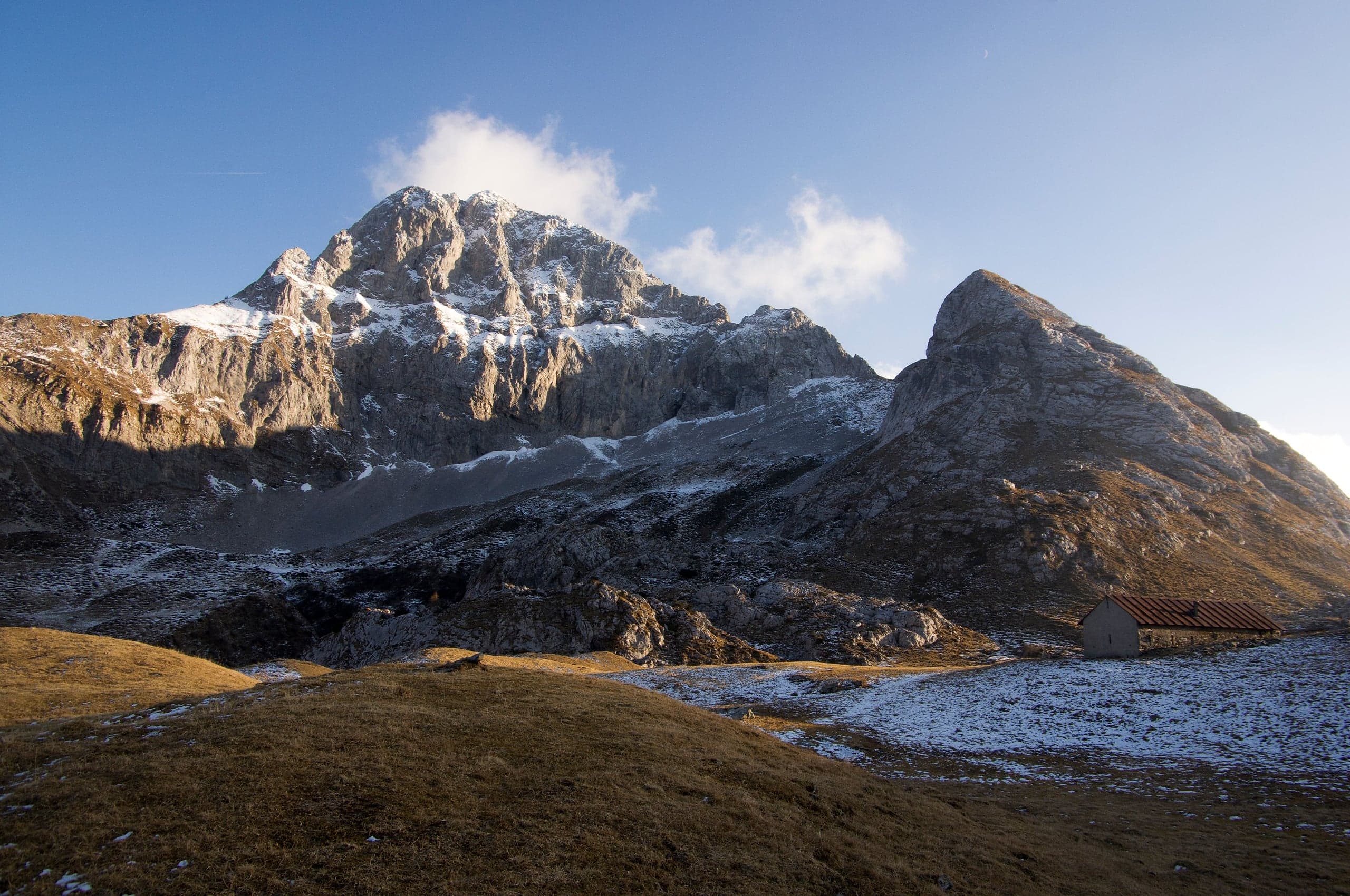
Sentiero dei Fiori Claudio Brissoni: a CAI loop of about 3 hours from the Capanna 2000 to Passo Branchino, 1,821–2,078 m, on the flowering slopes of the Arera.
Summits · 2 minutes
Pizzo Arera (2,512 m) by the south normal route
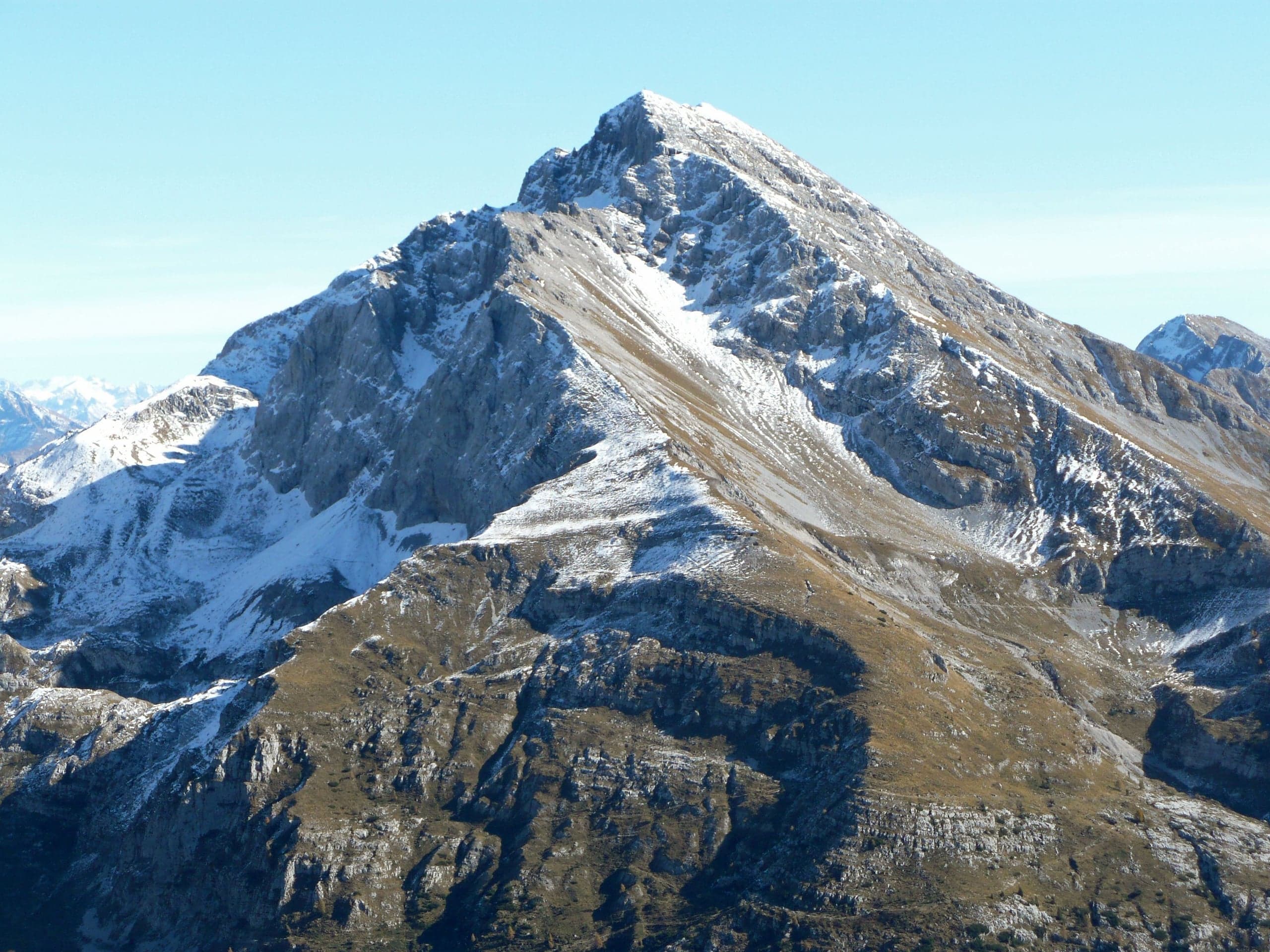
Pizzo Arera, 2,512 m, by the south normal route: from the Alpe Arera car park 922 m of ascent and about 2 h 30, with a protected gully just below the summit.
Summits · 2 minutes
Monte Alben (2,019 m) from the Colle di Zambla
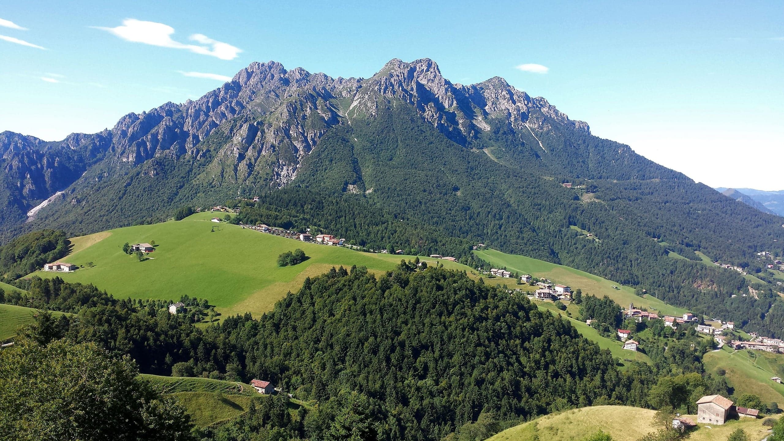
Monte Alben, 2,019 m, from the Colle di Zambla on CAI trail 501: 750 m and 2 h 15 via the Col dei Brassamonti, Passo della Forca and the final EE ridge.
Mountain huts · 2 minutes
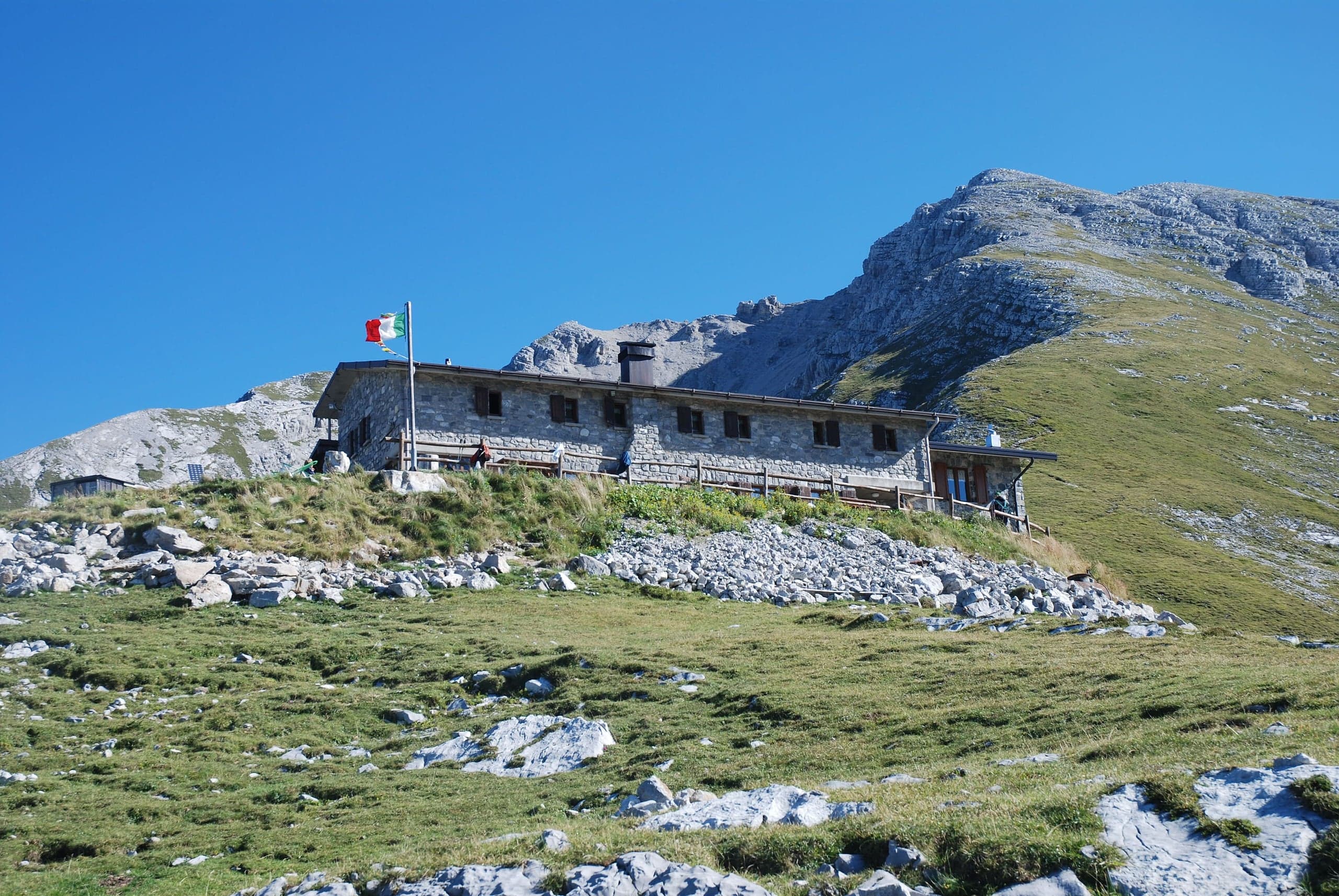
Capanna 2000 hut
Capanna 2000 hut, 1,960 m below the Pizzo Arera: owned by Oltre il Colle, 25 beds, an hour from the Alpe Arera car park. Opening periods, booking and contacts.